Kenton, located in Cimarron County, Oklahoma, United States, is the westernmost town in Oklahoma. From Kenton, it is approximately 155 miles (249 km) south to Amarillo, Texas, 237 miles (381 km) northwest to Colorado Springs, Colorado, 306 miles (492 km) north-northwest to Denver, Colorado, 314 miles (505 km) southwest to Albuquerque, New Mexico, 340 miles (550 km) northeast to Wichita, Kansas, and 361 miles (581 km) southeast to Oklahoma City, the nearest major population centers.
The settlement had 31 residents at the 2020 census. Kenton, which lies in the Cimarron River valley, is just south of Black Mesa, the highest point in Oklahoma, and serves as an unofficial staging point for visitors to the site. The east end of the mesa features dinosaur tracks which have been preserved in a sandstone strata next to Carrizo Creek. Black Mesa State Park, which contains Lake Carl Etling, is to the southeast. The Preston Monument, at the tripoint of Colorado, New Mexico and Oklahoma, is about 10 driving miles north-northwest. Kenton is the closest settlement to Carrizo Canyon, about 22 miles north inside Colorado, which is a small gorge in the Comanche National Grassland graced by juniper and cottonwood trees in which American Indian petroglyphs can be found along the walls.
| Name: | Kenton CDP |
|---|---|
| LSAD Code: | 57 |
| LSAD Description: | CDP (suffix) |
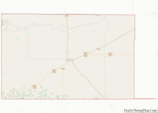
| State: | Oklahoma |
| County: | Cimarron County |
| Elevation: | 4,350 ft (1,326 m) |
| Total Area: | 0.71 sq mi (1.85 km²) |
| Land Area: | 0.71 sq mi (1.85 km²) |
| Water Area: | 0.00 sq mi (0.00 km²) |
| Total Population: | 31 |
| Population Density: | 43.36/sq mi (16.74/km²) |
| ZIP code: | 73946 |
| Area code: | 580 |
| FIPS code: | 4039400 |
| GNISfeature ID: | 1094330 |
| Website: | www.travelok.com/Kenton |
Online Interactive Map
Click on ![]() to view map in "full screen" mode.
to view map in "full screen" mode.
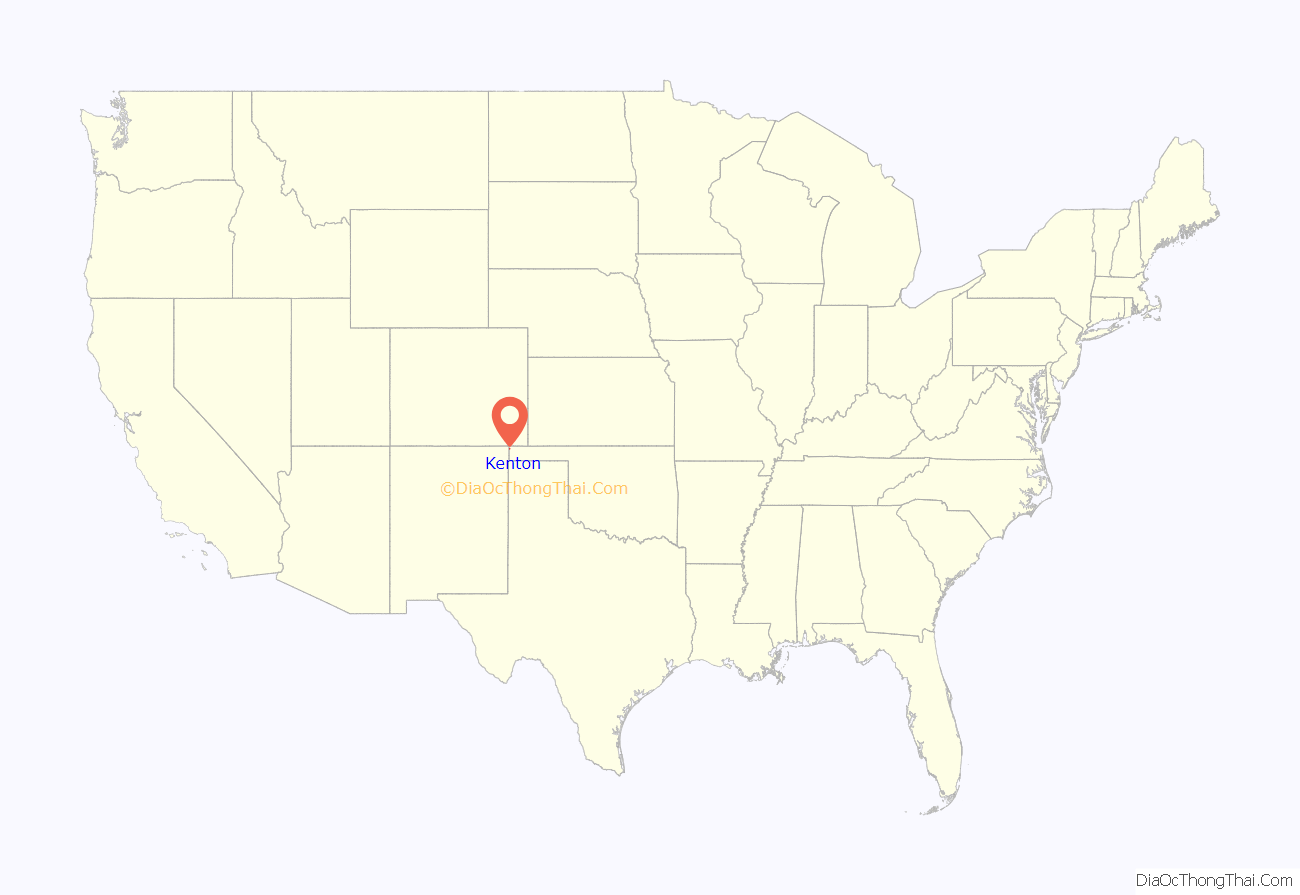
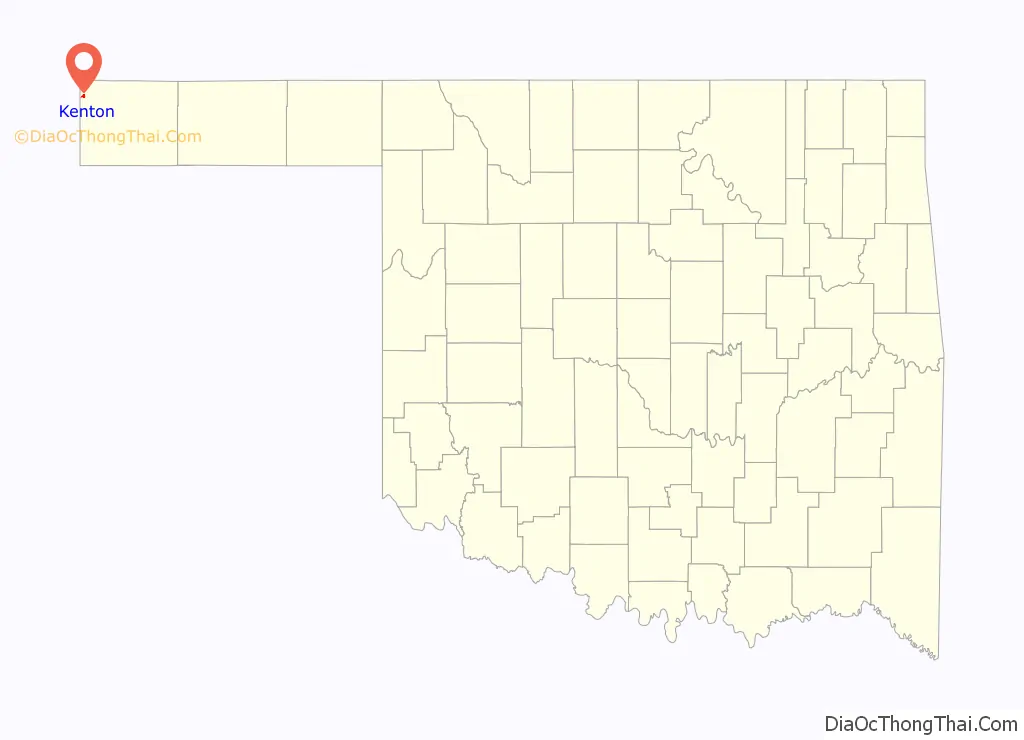
Kenton location map. Where is Kenton CDP?
History
The town originated with Carizzo, later called Florence, just over the line in New Mexico. It was, along with a place called Mineral, one of only two significant settlements in the area of the pre-statehood Oklahoma Panhandle. When a nephew of P.T. Barnum by the name of Fairchild B. Drew became postmaster of the place, he moved the post office a bit to the east and changed the name to Kenton in 1893. At the time Oklahoma became a state (on November 16, 1907), it served as the temporary county seat for Cimarron County. The building now known as “The Merc” served as the temporary courthouse and held the county records. The citizens of the county voted to move the seat on June 11, 1908 to Boise City. Kentonites did not want to give up the records, so a group of people from Boise City confiscated the documents before the end of a 30-day waiting period. This started a local legend that Boise City stole the courthouse.
During its heyday, Kenton had two car dealerships, a motel, a bank, and two general stores.
Despite threats of closure over the years, the post office in Kenton remains open.
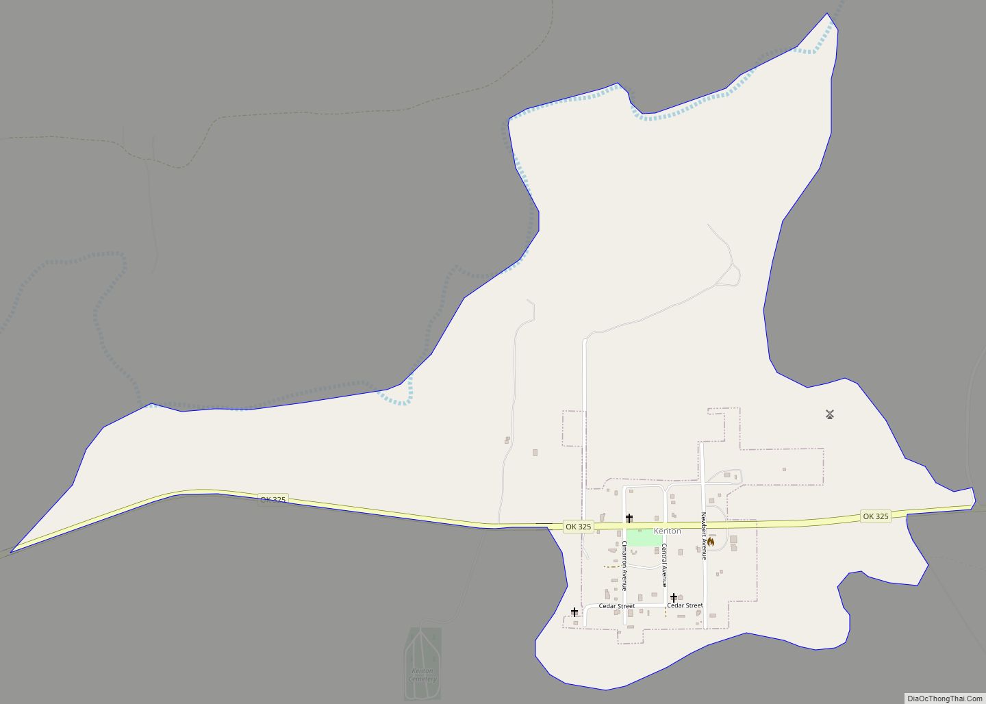
Kenton Road Map
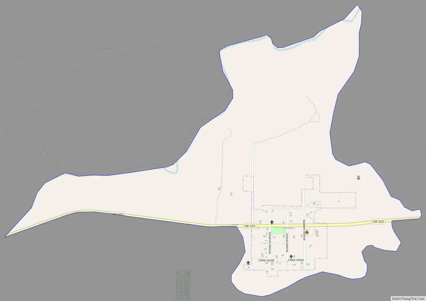
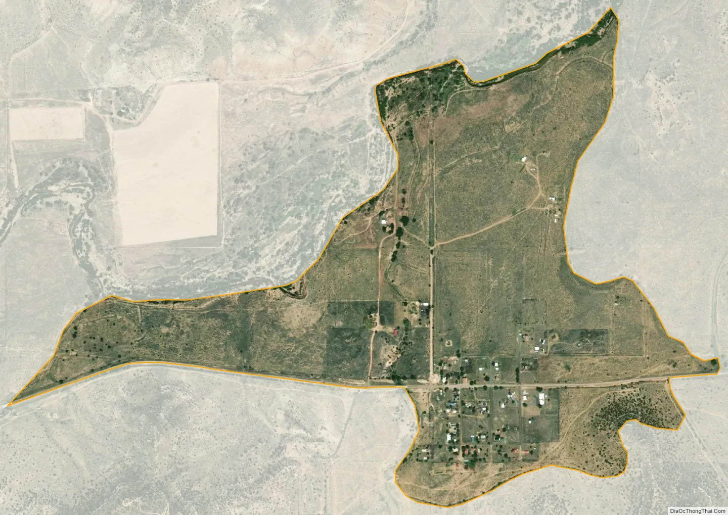
Kenton city Satellite Map
Geography
Kenton lies in the northwest corner of Cimarron County, approximately 3 miles (5 km) east of the New Mexico state line and 6 miles (10 km) south of the Colorado state line. It is located on the south side of the Cimarron River in the Cimarron River valley.
State Highway 325 serves the community.
Kenton experiences a semi-arid climate (Köppen BSk) with cool, dry winters and very hot, wetter summers.
See also
Map of Oklahoma State and its subdivision:- Adair
- Alfalfa
- Atoka
- Beaver
- Beckham
- Blaine
- Bryan
- Caddo
- Canadian
- Carter
- Cherokee
- Choctaw
- Cimarron
- Cleveland
- Coal
- Comanche
- Cotton
- Craig
- Creek
- Custer
- Delaware
- Dewey
- Ellis
- Garfield
- Garvin
- Grady
- Grant
- Greer
- Harmon
- Harper
- Haskell
- Hughes
- Jackson
- Jefferson
- Johnston
- Kay
- Kingfisher
- Kiowa
- Latimer
- Le Flore
- Lincoln
- Logan
- Love
- Major
- Marshall
- Mayes
- McClain
- McCurtain
- McIntosh
- Murray
- Muskogee
- Noble
- Nowata
- Okfuskee
- Oklahoma
- Okmulgee
- Osage
- Ottawa
- Pawnee
- Payne
- Pittsburg
- Pontotoc
- Pottawatomie
- Pushmataha
- Roger Mills
- Rogers
- Seminole
- Sequoyah
- Stephens
- Texas
- Tillman
- Tulsa
- Wagoner
- Washington
- Washita
- Woods
- Woodward
- Alabama
- Alaska
- Arizona
- Arkansas
- California
- Colorado
- Connecticut
- Delaware
- District of Columbia
- Florida
- Georgia
- Hawaii
- Idaho
- Illinois
- Indiana
- Iowa
- Kansas
- Kentucky
- Louisiana
- Maine
- Maryland
- Massachusetts
- Michigan
- Minnesota
- Mississippi
- Missouri
- Montana
- Nebraska
- Nevada
- New Hampshire
- New Jersey
- New Mexico
- New York
- North Carolina
- North Dakota
- Ohio
- Oklahoma
- Oregon
- Pennsylvania
- Rhode Island
- South Carolina
- South Dakota
- Tennessee
- Texas
- Utah
- Vermont
- Virginia
- Washington
- West Virginia
- Wisconsin
- Wyoming