Map of Shady Grove CDP

Map of Shady Grove CDP

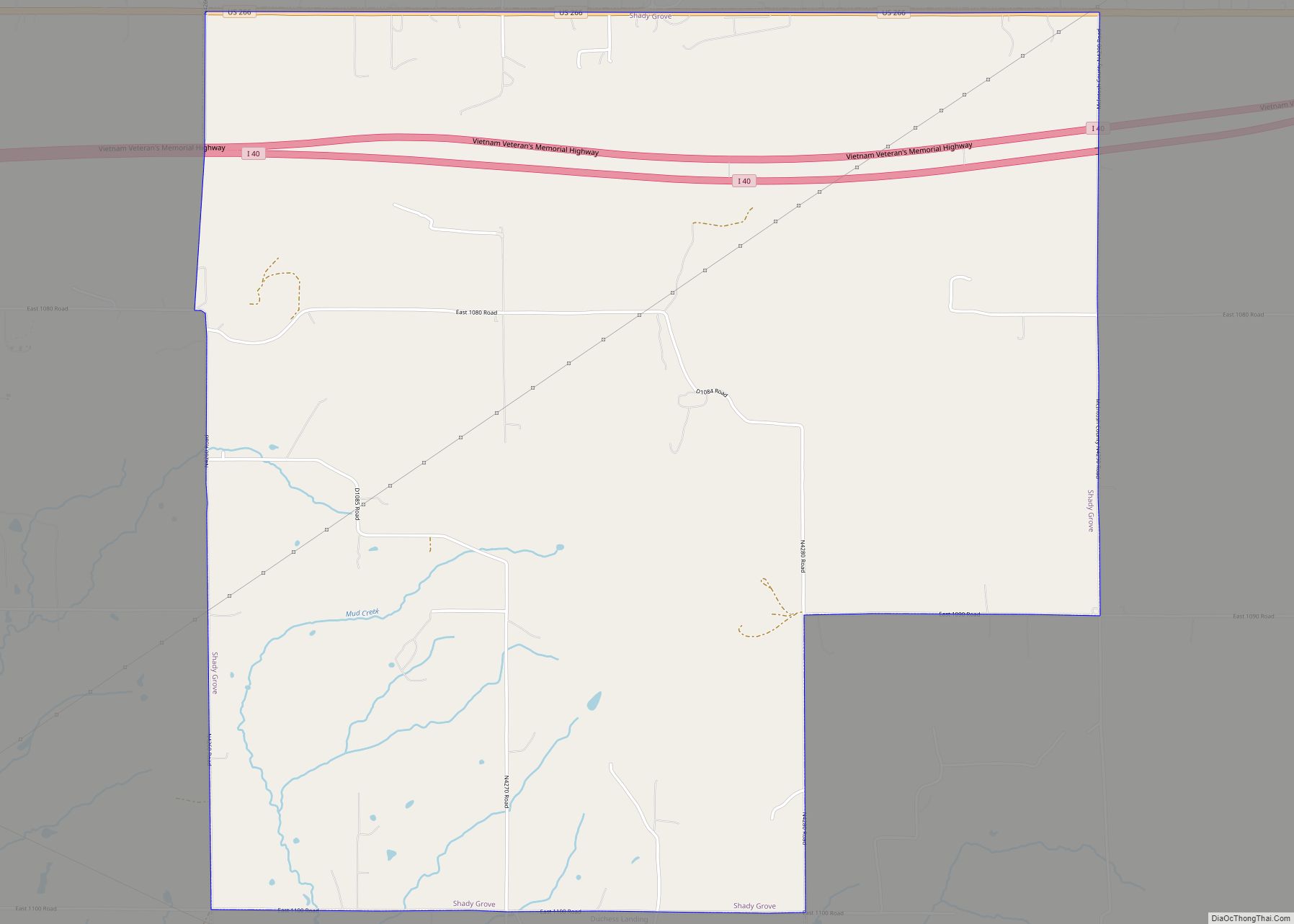
Shady Grove is a census-designated place (CDP) in McIntosh County, Oklahoma, United States. The population was 199 at the 2010 census, a decrease of 14.4 percent from 229 in 2000. This is not to be confused with the similarly-named Shady Grove in Cherokee County, or the Shady Grove in Pawnee County. Shady Grove CDP overview: … Read more

Map of Sequoyah CDP

Map of Sequoyah CDP

Sequoyah is a census-designated place (CDP) in Rogers County, Oklahoma, United States. The population was 671 at the 2000 census. Sequoyah CDP overview: Name: Sequoyah CDP LSAD Code: 57 LSAD Description: CDP (suffix) State: Oklahoma County: Rogers County Elevation: 666 ft (203 m) Total Area: 7.94 sq mi (20.56 km²) Land Area: 7.94 sq mi (20.56 km²) Water Area: 0.00 sq mi (0.00 km²) Total Population: … Read more

Map of Sentinel town

Map of Sentinel town

Sentinel is a town in Washita County, in the U.S. state of Oklahoma. The population was 901 in the 2010 census, an increase of 4.9 percent from the figure of 859 residents in 2000. Towns near Sentinel are Rocky, Cordell, Canute, and Burnsflat. Sentinel town overview: Name: Sentinel town LSAD Code: 43 LSAD Description: town … Read more

Map of Seminole city, Oklahoma

Map of Seminole city, Oklahoma

Seminole (Meskwaki: Sheminônîheki) is a city in Seminole County, Oklahoma, United States. The population was 7,488 at the 2010 census. Seminole experienced a large population growth in the 1920s due to an oil boom. Seminole city overview: Name: Seminole city LSAD Code: 25 LSAD Description: city (suffix) State: Oklahoma County: Seminole County Elevation: 892 ft (272 m) … Read more

Map of Seiling city

Map of Seiling city

Seiling is a city in Dewey County, Oklahoma, United States. The population was 860 at the 2010 census. The town was named in 1899 for Louis Seiling, a local store owner who had acquired a homestead in the Cheyenne-Arapaho land run of April 1892. The Hobson Town and Improvement Company established a town called Hobson, … Read more

Map of Scraper CDP

Map of Scraper CDP

Scraper CDP overview: Name: Scraper CDP LSAD Code: 57 LSAD Description: CDP (suffix) State: Oklahoma County: Cherokee County FIPS code: 4066050 Online Interactive Map Scraper online map. Source: Basemap layers from Google Map, Open Street Map (OSM), Arcgisonline, Wmflabs. Boundary Data from Database of Global Administrative Areas. Scraper location map. Where is Scraper CDP? Scraper … Read more

Map of Schulter town

Map of Schulter town

Schulter is a town in Okmulgee County, Oklahoma, United States. The population was 509 at the 2010 census, a decrease of 15.2 percent from the figure of 600 recorded in 2000. Schulter town overview: Name: Schulter town LSAD Code: 43 LSAD Description: town (suffix) State: Oklahoma County: Okmulgee County Elevation: 699 ft (213 m) Total Area: 0.85 sq mi … Read more

Map of Sayre city

Map of Sayre city, Oklahoma

Sayre is a small city in, and the county seat of, Beckham County, in western Oklahoma, United States. It is halfway between Oklahoma City, and Amarillo, Texas, on Interstate 40 and the former U.S. Route 66. The population was 4,375 at the 2010 census, the largest recorded by a census since Sayre’s founding. The total … Read more

Map of Sawyer town, Oklahoma

Map of Sawyer town, Oklahoma

Sawyer is a town in Choctaw County, Oklahoma, United States. The population was 321 at the 2010 census. Sawyer town overview: Name: Sawyer town LSAD Code: 43 LSAD Description: town (suffix) State: Oklahoma County: Choctaw County Elevation: 423 ft (129 m) Total Area: 8.66 sq mi (22.43 km²) Land Area: 8.57 sq mi (22.20 km²) Water Area: 0.09 sq mi (0.23 km²) Total Population: 340 Population … Read more

Map of Savanna town, Oklahoma

Map of Savanna town, Oklahoma

Savanna is a town in Pittsburg County, Oklahoma, United States. The population was 686 at the 2010 census, a decline of 6.0 percent from the figure of 730 recorded in 2000. It is the hometown of former Harlem Globetrotter and 2014 NAIA Dunk Champion Tyler Inman. Savanna town overview: Name: Savanna town LSAD Code: 43 … Read more

Map of Shady Point town

Map of Shady Point town

Shady Point, sometimes referred to as Shadypoint, is a town in Le Flore County, Oklahoma, United States. It is part of the Fort Smith, Arkansas-Oklahoma Metropolitan Statistical Area. The population was 1,026 at the 2010 census, a 21.0 percent increase over the figure of 848 recorded in 2000. Shady Point town overview: Name: Shady Point … Read more

Map of Skedee town

Map of Skedee town

Skedee is a town in Pawnee County, Oklahoma, United States. The population was 51 at the 2010 census, a 50 percent decline from the figure of 102 recorded in 2000. Skedee town overview: Name: Skedee town LSAD Code: 43 LSAD Description: town (suffix) State: Oklahoma County: Pawnee County Elevation: 850 ft (259 m) Total Area: 0.14 sq mi (0.35 km²) … Read more