Map of West Scio CDP
West Scio is an unincorporated community and census-designated place (CDP) in Linn County, Oregon, United States. It lies at the intersection of Jefferson–Scio Road and West Scio Road about 2 miles (3 km) west of Scio. As of the 2010 census, the population was 120. West Scio CDP overview: Name: West Scio CDP LSAD Code: 57 ... Read more
Map of West Scio CDP
Map of West Linn city
West Linn is a city in Clackamas County, Oregon, United States. A southern suburb within the Portland metropolitan area, West Linn developed on the site of the former Linn City, which was named after U.S. Senator Lewis F. Linn of Ste. Genevieve, Missouri, who had advocated the American occupation of the Oregon territory as a ... Read more
Map of West Linn city
Map of West Haven-Sylvan CDP
West Haven-Sylvan is a census-designated place (CDP) in Washington and Multnomah counties, Oregon, United States, north of U.S. Route 26. As of the 2020 census, the CDP population was 9,299. West Haven-Sylvan CDP overview: Name: West Haven-Sylvan CDP LSAD Code: 57 LSAD Description: CDP (suffix) State: Oregon County: Multnomah County, Washington County Total Area: 2.26 sq mi ... Read more
Map of West Haven-Sylvan CDP
Map of Waterloo town, Oregon
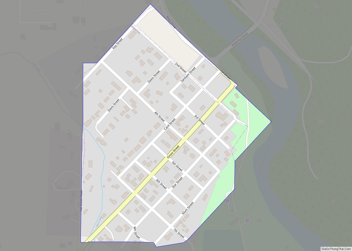
Waterloo is a city in Linn County, Oregon, United States. The population was 229 at the 2010 census. The city’s name, a joking reference to the Battle of Waterloo, stemmed from a 19th-century court decision that settled a land dispute at Kees Mill along the South Santiam River. After the dispute ended, Kees Mill became ... Read more
Map of Waterloo town, Oregon
Map of Winston city, Oregon
Winston is a city in Douglas County, Oregon, United States, located 7 miles southwest of Roseburg. The population was 5,379 according to the 2010 United States Census. It is home to Wildlife Safari. Winston city overview: Name: Winston city LSAD Code: 25 LSAD Description: city (suffix) State: Oregon County: Douglas County Incorporated: 1955 Elevation: 545 ft ... Read more
Map of Winston city, Oregon
Map of Winchester Bay CDP
Winchester Bay, formerly Umpqua City, is an unincorporated community in Douglas County, Oregon, United States. For statistical purposes, the United States Census Bureau has defined Winchester Bay as a census-designated place (CDP). The census definition of the area may not precisely correspond to local understanding of the area with the same name. The population of ... Read more
Map of Winchester Bay CDP
Map of Wimer CDP
Wimer is an unincorporated community and census-designated place (CDP) in Jackson County, Oregon, United States. As of the 2010 census it had a population of 678. Wimer lies along Evans Creek north of the city of Rogue River. The community was named for a relative of William Wimer, who edited a newspaper in Grants Pass ... Read more
Map of Wimer CDP
Map of Wilsonville city, Oregon
Wilsonville is a city primarily in Clackamas County, Oregon, United States. A portion of the northern section of the city is in Washington County. It was founded as Boones Landing because of the Boones Ferry which crossed the Willamette River at the location; the community became Wilsonville in 1880. The city was incorporated in 1969 ... Read more
Map of Wilsonville city, Oregon
Map of Williams CDP, Oregon
Williams is an unincorporated community and census-designated place (CDP) in Josephine County, Oregon, United States. As of the 2010 census it had a population of 1,072. There were three different post offices in the area named for their proximity to Williams Creek: Williams, Williamsburg and Williams Creek (in Jackson County). Williams Creek, which flows into ... Read more
Map of Williams CDP, Oregon
Map of Willamina city
Willamina is a city in Polk and Yamhill Counties in the U.S. state of Oregon. The population was 2,239 at the 2020 census. The Yamhill County portion of Willamina is part of the Portland–Vancouver–Beaverton, Metropolitan Statistical Area, while the Polk County portion is part of the Salem Metropolitan Area. Willamina city overview: Name: Willamina city ... Read more
Map of Willamina city
Map of White City CDP, Oregon
White City is an unincorporated community and census-designated place (CDP) in Jackson County, Oregon, United States. The population was 7,975 at the 2010 census, up from 5,466 at the 2000 census. White City is about 9 miles (14 km) north of the center of Medford and 4 miles (6 km) south of Eagle Point. White City CDP ... Read more
Map of White City CDP, Oregon
Map of Wheeler city, Oregon
Wheeler is a city in Tillamook County, Oregon, United States. The population was 414 at the 2010 census. It is named after Coleman Wheeler, who opened a sawmill in the town and had a lumber business; Coleman is a great-grandfather of Ted Wheeler, who as of 2020 is mayor of Portland, Oregon. Wheeler city overview: ... Read more
Map of Wheeler city, Oregon