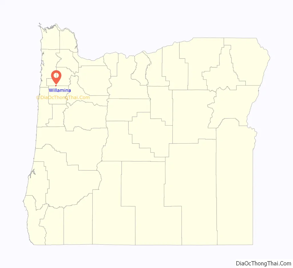
Willamina is a city in Polk and Yamhill Counties in the U.S. state of Oregon. The population was 2,239 at the 2020 census.
The Yamhill County portion of Willamina is part of the Portland–Vancouver–Beaverton, Metropolitan Statistical Area, while the Polk County portion is part of the Salem Metropolitan Area.
| Name: | Willamina city |
|---|---|
| LSAD Code: | 25 |
| LSAD Description: | city (suffix) |
| State: | Oregon |
| County: | Polk County, Yamhill County |
| Incorporated: | 1903 |
| Elevation: | 225 ft (68.6 m) |
| Total Area: | 0.99 sq mi (2.55 km²) |
| Land Area: | 0.94 sq mi (2.45 km²) |
| Water Area: | 0.04 sq mi (0.11 km²) |
| Total Population: | 2,239 |
| Population Density: | 2,371.82/sq mi (915.59/km²) |
| ZIP code: | 97396 |
| Area code: | 503 |
| FIPS code: | 4182350 |
| GNISfeature ID: | 1163355 |
| Website: | www.willaminaoregon.gov |
Online Interactive Map
Click on ![]() to view map in "full screen" mode.
to view map in "full screen" mode.
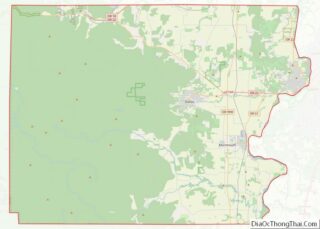
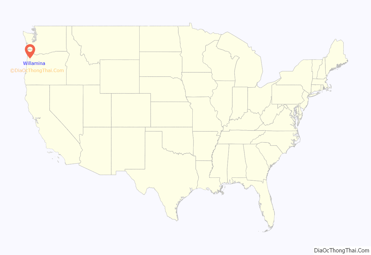
Willamina location map. Where is Willamina city?
History
Willamina was named after Willamina Creek, which in turn was named for early settler Willamina Williams shortly after she fell off of her horse and into a creek, which was subsequently named after her. Williams was born Willamina Craig in 1817 in Ohio. She married James Maley in 1837 and the couple came to Oregon in 1845 with James’ daughter. While looking for land to settle, the family came across a tributary of the South Yamhill River and named it for Mrs. Maley. James Maley died in 1847, and Willamina married Enos Williams in 1848. They settled in what is now Amity.
Willamina post office was established in 1855 on the James Brown land claim, about a mile east of present-day Willamina. The office moved in 1863 about two miles west to the Jeremiah Lamson land claim. In 1866, the office was moved and renamed to present-day Sheridan. In 1878, a new Willamina post office was established; it operated from December 1880 to March 1891 just over the county line in Polk County. A gristmill and sawmill were established in 1878. The townsite was platted in 1879 and Willamina incorporated in 1903. At that time the city had 200 residents.
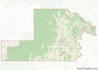
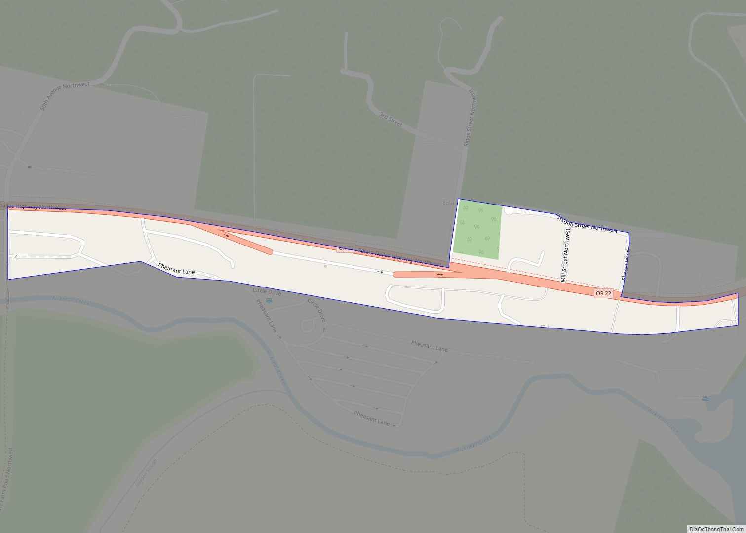
Willamina Road Map

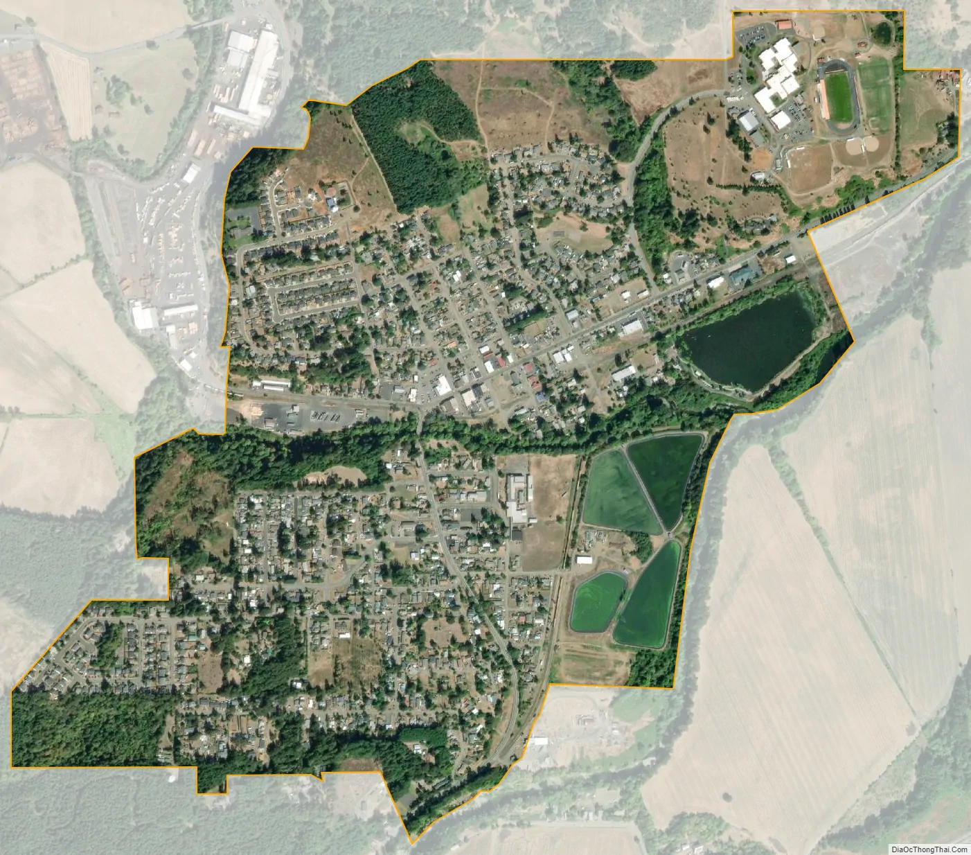
Willamina city Satellite Map
Geography
According to the United States Census Bureau, the city has a total area of 0.96 square miles (2.49 km), of which 0.92 square miles (2.38 km) is land and 0.04 square miles (0.10 km) is water.
The city lies near the intersection of Oregon Route 18, Oregon Route 18 Business, and Oregon Route 22 next to the South Yamhill River. The communities of Shipley and Sheridan are to the east, and Valley Junction is to the west.
See also
Map of Oregon State and its subdivision: Map of other states:- Alabama
- Alaska
- Arizona
- Arkansas
- California
- Colorado
- Connecticut
- Delaware
- District of Columbia
- Florida
- Georgia
- Hawaii
- Idaho
- Illinois
- Indiana
- Iowa
- Kansas
- Kentucky
- Louisiana
- Maine
- Maryland
- Massachusetts
- Michigan
- Minnesota
- Mississippi
- Missouri
- Montana
- Nebraska
- Nevada
- New Hampshire
- New Jersey
- New Mexico
- New York
- North Carolina
- North Dakota
- Ohio
- Oklahoma
- Oregon
- Pennsylvania
- Rhode Island
- South Carolina
- South Dakota
- Tennessee
- Texas
- Utah
- Vermont
- Virginia
- Washington
- West Virginia
- Wisconsin
- Wyoming