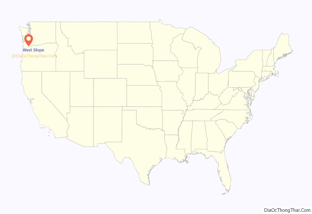
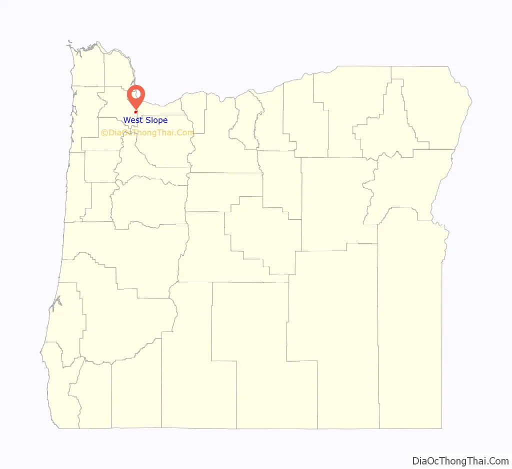
West Slope is an unincorporated suburb of Portland, Oregon, United States and a census-designated place. It is in Washington County, to the west of Portland’s West Hills neighborhood, to the northwest of Raleigh Hills and south of U.S. Route 26. Fire protection and EMS services are provided through Tualatin Valley Fire and Rescue.
As of the 2000 census, the suburb population was 6,442. In a plan agreed to by the county and Beaverton, West Slope was scheduled for annexation to Beaverton by 2010.
| Name: | West Slope CDP |
|---|---|
| LSAD Code: | 57 |
| LSAD Description: | CDP (suffix) |
| State: | Oregon |
| County: | Washington County |
| Elevation: | 374 ft (114 m) |
| Total Area: | 1.62 sq mi (4.19 km²) |
| Land Area: | 1.62 sq mi (4.19 km²) |
| Water Area: | 0.00 sq mi (0.00 km²) |
| Total Population: | 7,223 |
| Population Density: | 4,469.68/sq mi (1,725.46/km²) |
| ZIP code: | 97225 |
| Area code: | 503 |
| FIPS code: | 4180900 |
| GNISfeature ID: | 1128896 |
Online Interactive Map
Click on ![]() to view map in "full screen" mode.
to view map in "full screen" mode.
West Slope location map. Where is West Slope CDP?
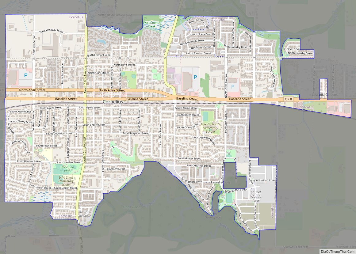
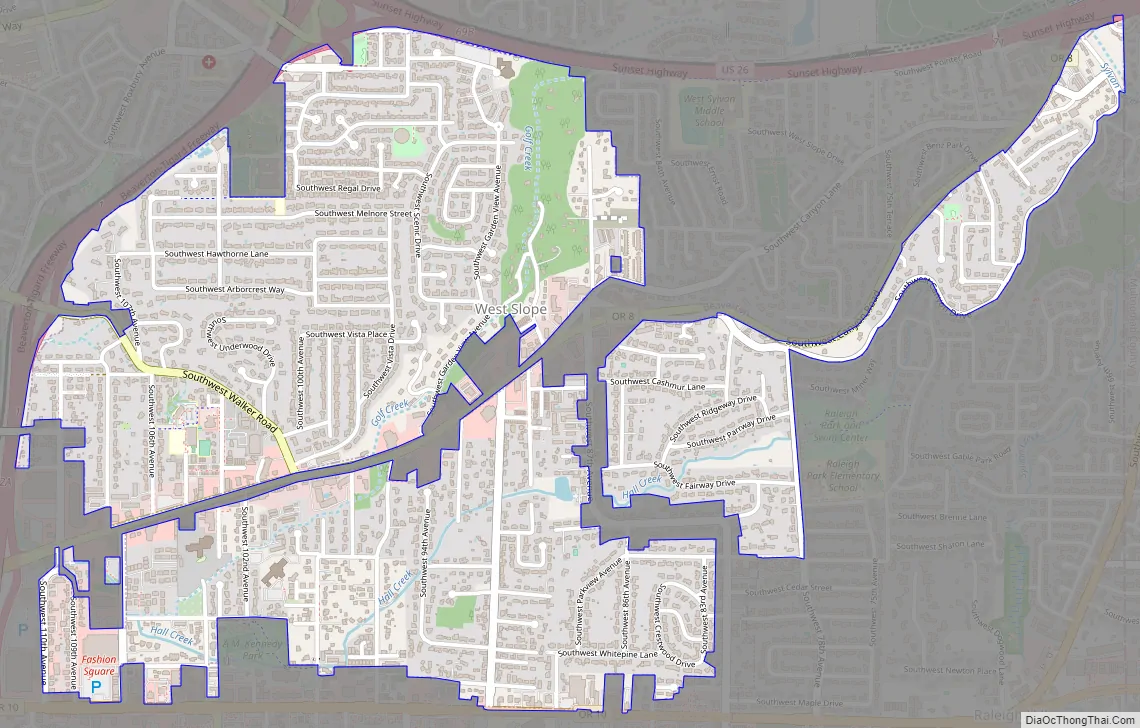
West Slope Road Map
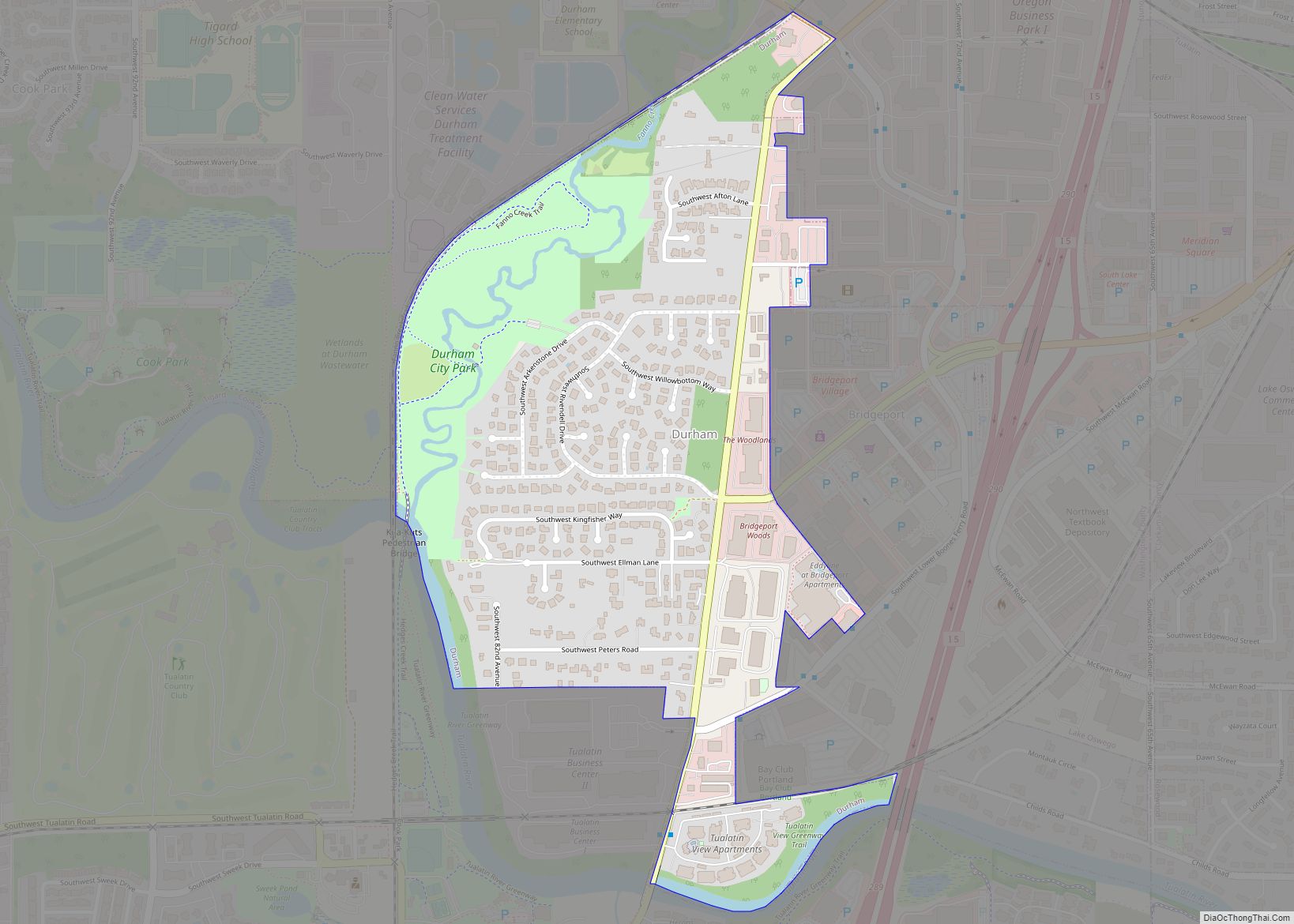
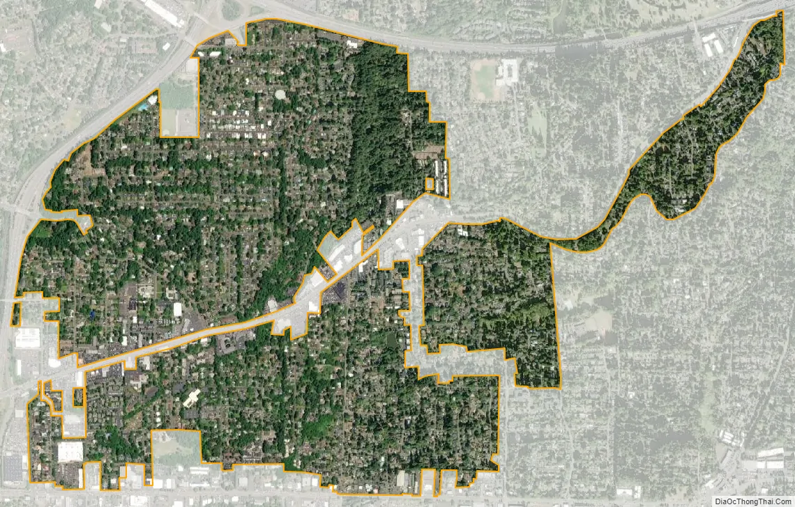
West Slope city Satellite Map
Geography
According to the United States Census Bureau, the neighborhood has a total area of 1.7 square miles (4.4 km), all land.
See also
Map of Oregon State and its subdivision: Map of other states:- Alabama
- Alaska
- Arizona
- Arkansas
- California
- Colorado
- Connecticut
- Delaware
- District of Columbia
- Florida
- Georgia
- Hawaii
- Idaho
- Illinois
- Indiana
- Iowa
- Kansas
- Kentucky
- Louisiana
- Maine
- Maryland
- Massachusetts
- Michigan
- Minnesota
- Mississippi
- Missouri
- Montana
- Nebraska
- Nevada
- New Hampshire
- New Jersey
- New Mexico
- New York
- North Carolina
- North Dakota
- Ohio
- Oklahoma
- Oregon
- Pennsylvania
- Rhode Island
- South Carolina
- South Dakota
- Tennessee
- Texas
- Utah
- Vermont
- Virginia
- Washington
- West Virginia
- Wisconsin
- Wyoming