Map of Tar Heel town
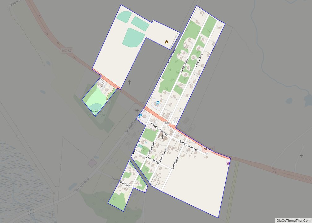
Tar Heel is a town located in Bladen County, North Carolina, United States. As of the 2010 census, the town population was 117. Tar Heel is home to the largest pig processing plant in the world, which opened in 1992, operated by Smithfield Foods and is located just north of the town limits. Tar Heel ... Read more
Map of Tar Heel town
Map of Tabor City town
Tabor City is a town in Columbus County, North Carolina, United States. It is the southernmost town in the county. It is located just north of the North Carolina/South Carolina line, about 39 miles (63 km) north of Myrtle Beach, South Carolina, and is just north of Loris, South Carolina. The population was 2,511 as of ... Read more
Map of Tabor City town
Map of Sylva town
Sylva is an incorporated town located in central Jackson County, in the Plott Balsam Mountains of Western North Carolina, United States. As of the 2010 census, the town had a total population of 2,588. It is the county seat, taking over the role from nearby Webster in 1913. Sylva town overview: Name: Sylva town LSAD ... Read more
Map of Sylva town
Map of Swepsonville town
Swepsonville is a town in Alamance County, North Carolina, United States. It is part of the Burlington, North Carolina Metropolitan Statistical Area. The population at the 2010 census was 1,154. Swepsonville town overview: Name: Swepsonville town LSAD Code: 43 LSAD Description: town (suffix) State: North Carolina County: Alamance County Elevation: 525 ft (160 m) Total Area: 1.52 sq mi ... Read more
Map of Swepsonville town
Map of Swansboro town
Swansboro is a town in Onslow County, North Carolina, United States, located along the Atlantic Ocean. In 2010, the population was 2,663. Swansboro town overview: Name: Swansboro town LSAD Code: 43 LSAD Description: town (suffix) State: North Carolina County: Onslow County Elevation: 16 ft (5 m) Total Area: 2.38 sq mi (6.16 km²) Land Area: 2.23 sq mi (5.79 km²) Water Area: 0.14 sq mi ... Read more
Map of Swansboro town
Map of Trent Woods town
Trent Woods is a town in Craven County, North Carolina, United States. The population was 4,155 in 2010. It is part of the New Bern, North Carolina Metropolitan Statistical Area. Trent Woods town overview: Name: Trent Woods town LSAD Code: 43 LSAD Description: town (suffix) State: North Carolina County: Craven County Elevation: 13 ft (4 m) Total ... Read more
Map of Trent Woods town
Map of Topsail Beach town
Topsail Beach is a town in Pender County, North Carolina, United States. The population was 383 at the 2012 census. It is part of the Wilmington Metropolitan Statistical Area. Topsail Beach town overview: Name: Topsail Beach town LSAD Code: 43 LSAD Description: town (suffix) State: North Carolina County: Pender County Elevation: 7 ft (2 m) Total Area: ... Read more
Map of Topsail Beach town
Map of Tobaccoville village
Tobaccoville is a village in Forsyth and Stokes counties in the U.S. state of North Carolina. The population was 2,209 at the 2020 census. While a Tobaccoville post office was established in 1887, the village was not incorporated until 1991, as a defense against forced annexation of the area by the nearby city of King. ... Read more
Map of Tobaccoville village
Map of Toast CDP
Toast is a census-designated place (CDP) in Surry County, North Carolina, United States, just west of Mount Airy. The population was 1,922 at the 2000 census. A post office called Toast has been in operation since 1929. The name “Toast” was supplied by the Post Office Department. E. P. McLeod, the school principal, supposedly came ... Read more
Map of Toast CDP
Map of Turkey town, North Carolina
Turkey is a town in Sampson County, North Carolina, United States. The population was 292 at the 2010 census. Turkey town overview: Name: Turkey town LSAD Code: 43 LSAD Description: town (suffix) State: North Carolina County: Sampson County Elevation: 144 ft (44 m) Total Area: 0.40 sq mi (1.03 km²) Land Area: 0.40 sq mi (1.03 km²) Water Area: 0.00 sq mi (0.00 km²) Total Population: ... Read more
Map of Turkey town, North Carolina
Map of Tryon town, North Carolina
Tryon is a town in Polk County, on the southwestern border of North Carolina, United States. As of the 2020 census, the city population was 1,562. Located in the escarpment of the Blue Ridge Mountains, today the area is affluent and a center for outdoor pursuits, equestrian activity, and fine arts. Tryon Peak and the ... Read more
Map of Tryon town, North Carolina
Map of Troy town, North Carolina
Troy is a town in Montgomery County, North Carolina, United States. The population was 3,188 at the 2010 census. It is the county seat of Montgomery County. A short story by Charles W. Chesnutt, The Sheriff’s Children, is set in Troy. Troy town overview: Name: Troy town LSAD Code: 43 LSAD Description: town (suffix) State: ... Read more
Map of Troy town, North Carolina