Swansboro is a town in Onslow County, North Carolina, United States, located along the Atlantic Ocean. In 2010, the population was 2,663.
| Name: | Swansboro town |
|---|---|
| LSAD Code: | 43 |
| LSAD Description: | town (suffix) |
| State: | North Carolina |
| County: | Onslow County |
| Elevation: | 16 ft (5 m) |
| Total Area: | 2.38 sq mi (6.16 km²) |
| Land Area: | 2.23 sq mi (5.79 km²) |
| Water Area: | 0.14 sq mi (0.37 km²) |
| Total Population: | 3,744 |
| Population Density: | 1,675.17/sq mi (646.90/km²) |
| ZIP code: | 28584 |
| FIPS code: | 3766360 |
| GNISfeature ID: | 1022865 |
| Website: | http://swansboro-nc.org/ |
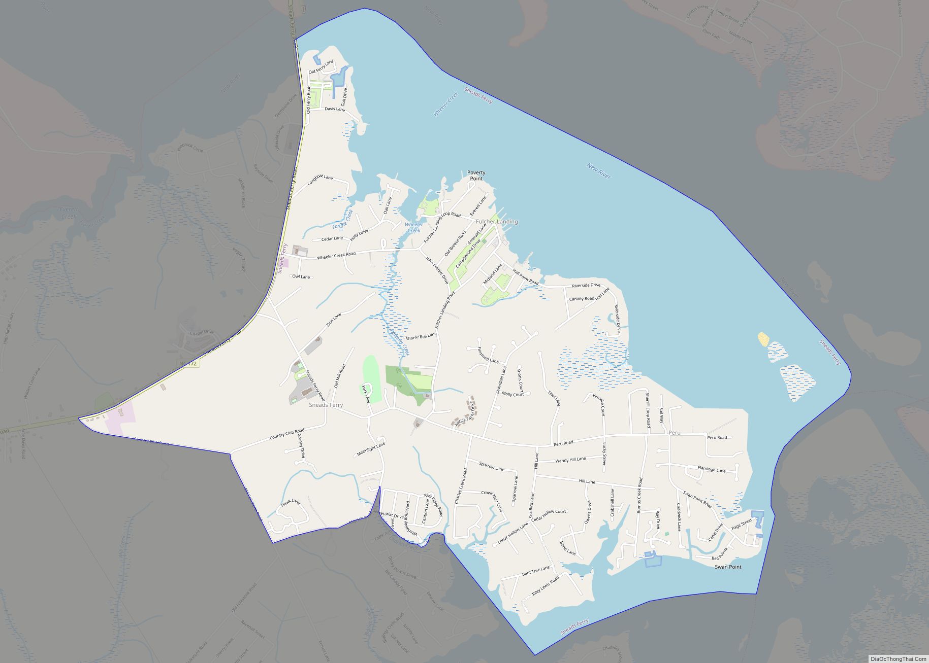
Online Interactive Map
Click on ![]() to view map in "full screen" mode.
to view map in "full screen" mode.
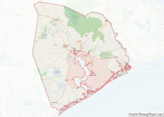
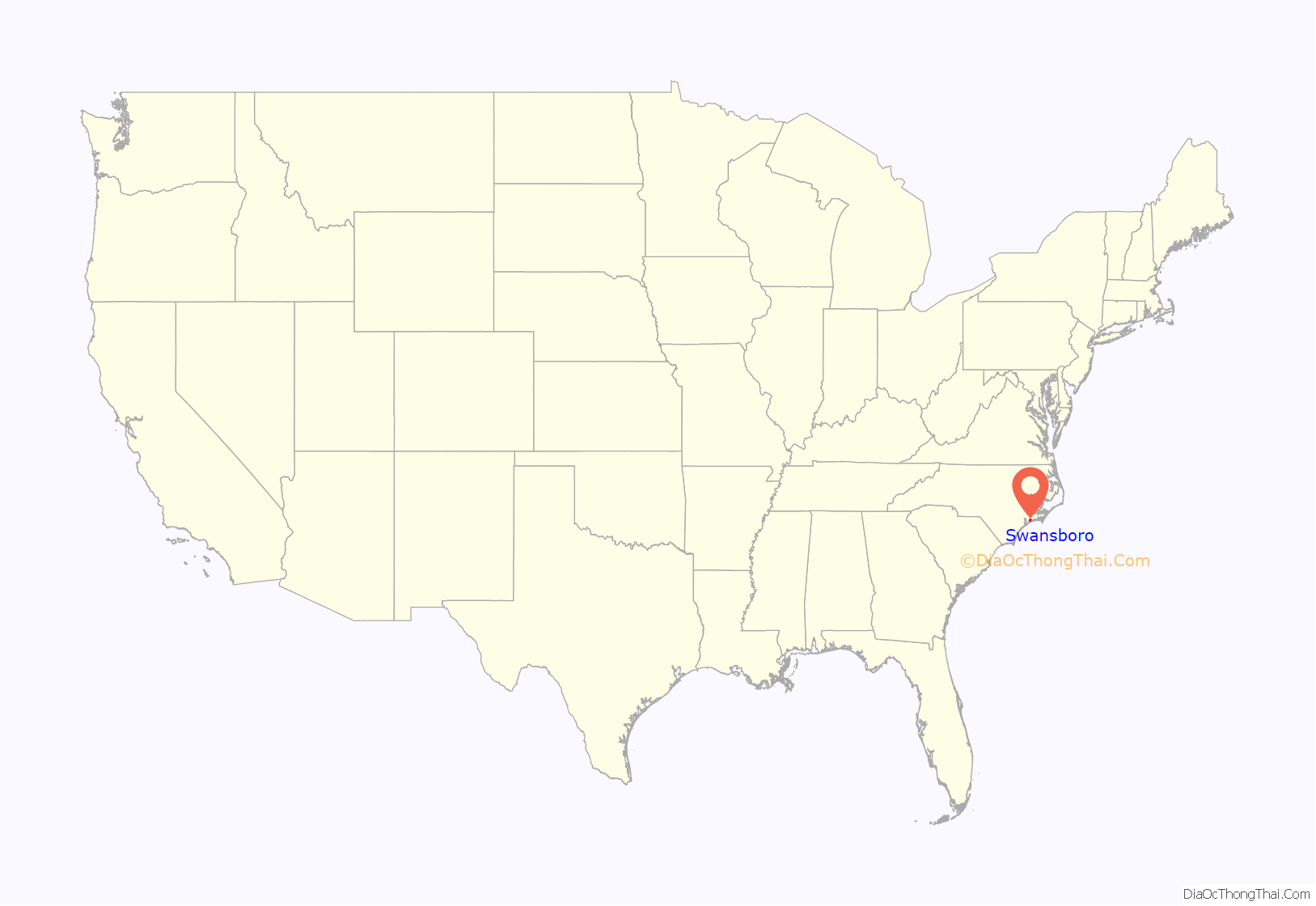
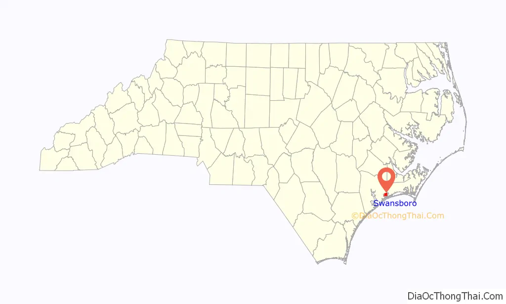
Swansboro location map. Where is Swansboro town?
History
Swansboro started as a settlement around the plantation of Theophilus Weeks. In 1783, Swansboro was incorporated as a town, taking its name from Samuel Swann, a Speaker in the North Carolina House of Commons and a resident of Onslow County. In 1818, Otway Burns built the Prometheus, the first river steamboat constructed in North Carolina.
The town, originally spelled Swannsborough, is sometimes called “The Friendly City by the Sea”. M.N. Lisk, a popular Swansboro mayor, initiated the annual Mullet Festival, one of the first coastal seafood festivals in North Carolina.
The town is featured as the setting of Nicholas Sparks’ novel The Guardian.
The Swansboro Historic District was listed on the National Register of Historic Places in 1990.
In 2018, Swansboro was among the hardest hit cities by Hurricane Florence. A record 30.58 inches (77 cm) of rain fell at Swansboro, North Carolina, breaking the previous state record of 24.06 inches (61 cm).
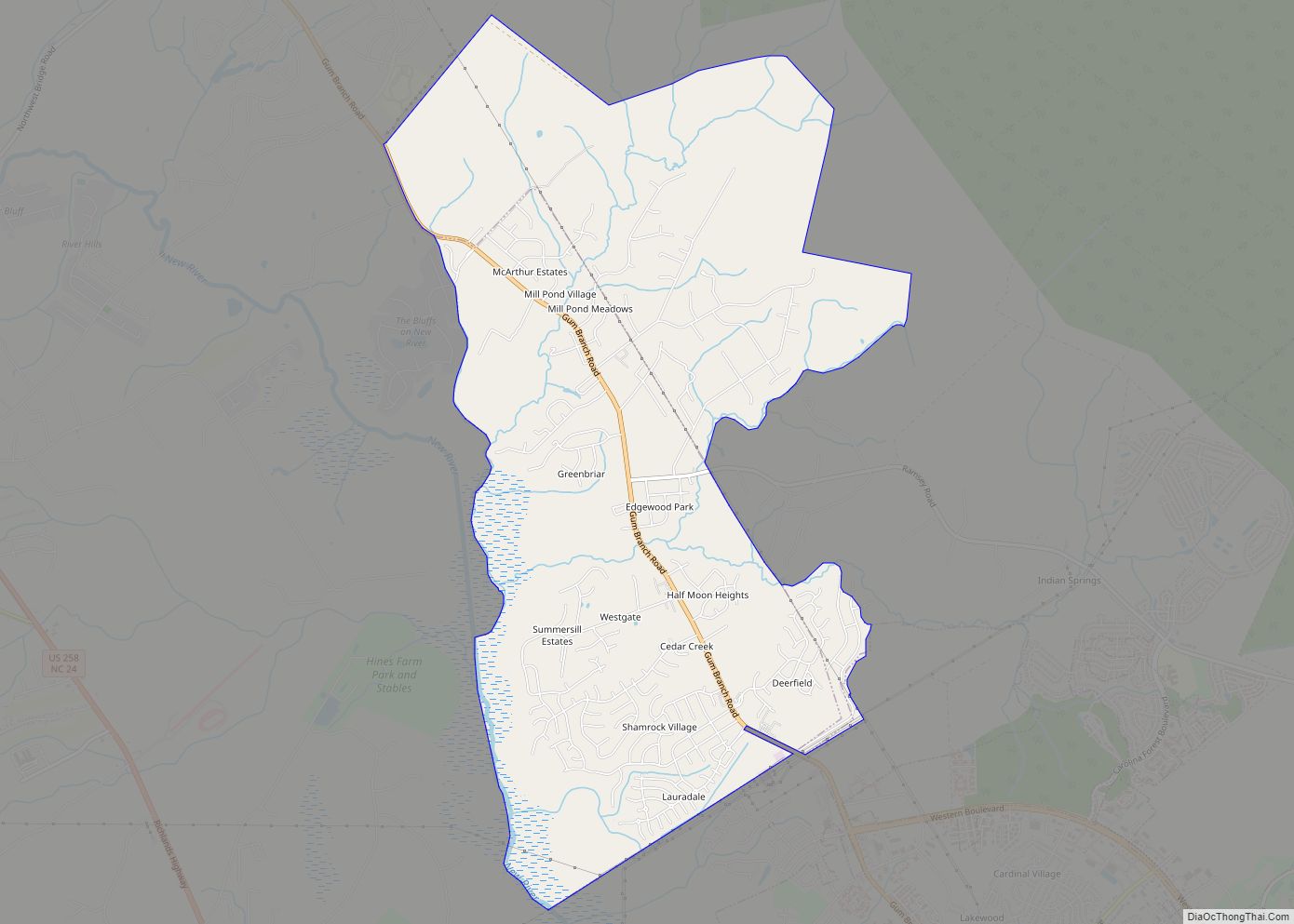
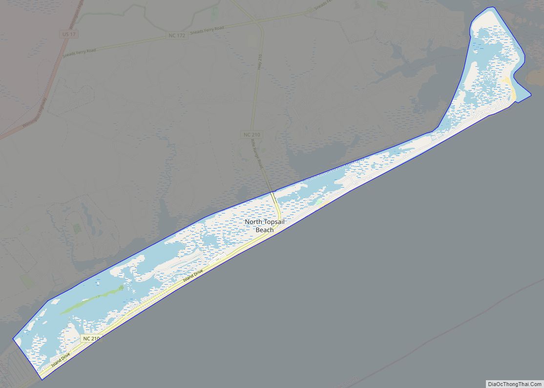
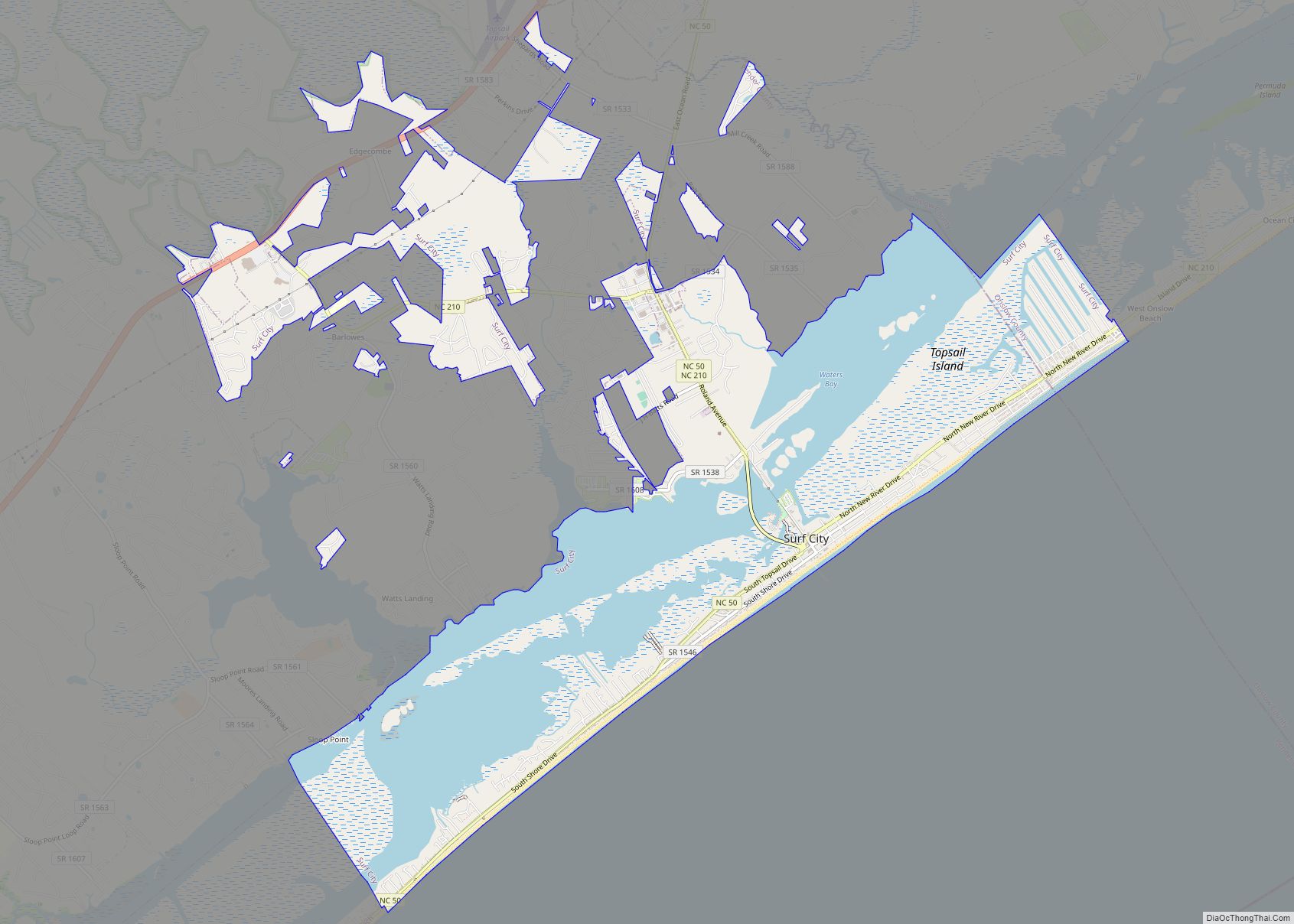
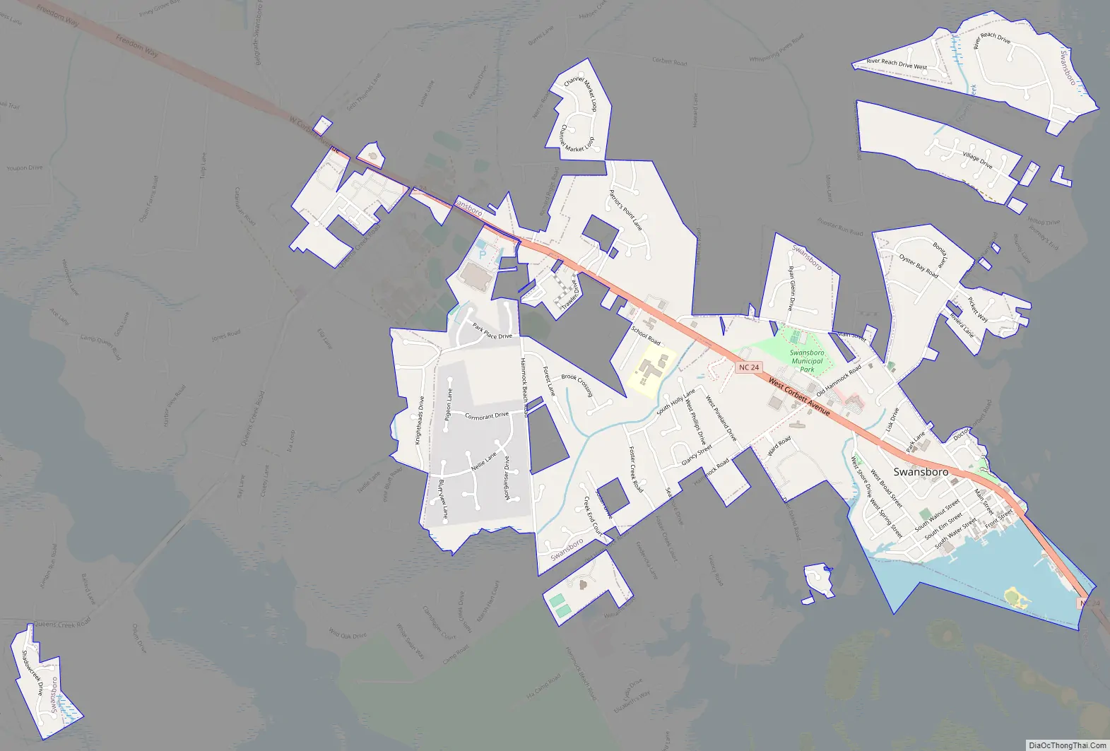
Swansboro Road Map
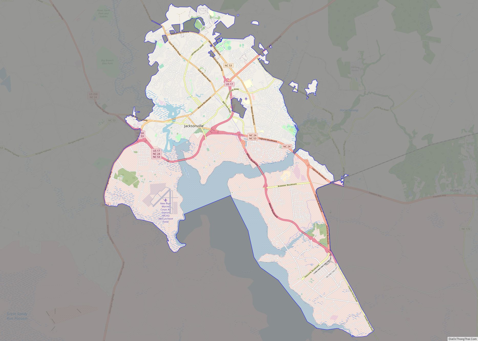
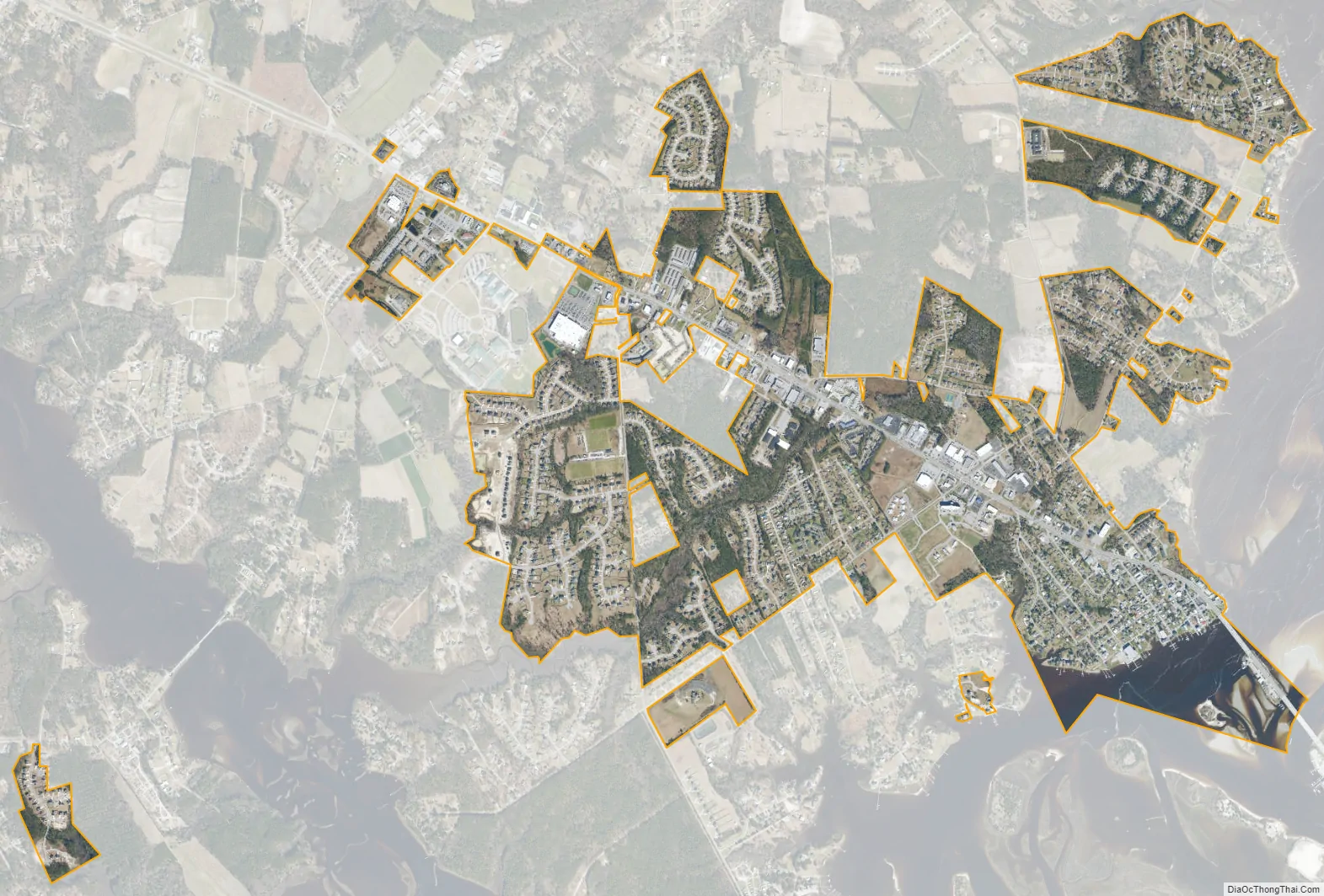
Swansboro city Satellite Map
Geography
Swansboro is located at 34°41′36″N 77°7′38″W / 34.69333°N 77.12722°W / 34.69333; -77.12722 (34.693327, -77.127327).
According to the United States Census Bureau, the town has a total area of 1.3 square miles (3.4 km), of which 1.2 square miles (3.1 km) is land and 0.1 square miles (0.26 km) (8.96%) is water.
See also
Map of North Carolina State and its subdivision:- Alamance
- Alexander
- Alleghany
- Anson
- Ashe
- Avery
- Beaufort
- Bertie
- Bladen
- Brunswick
- Buncombe
- Burke
- Cabarrus
- Caldwell
- Camden
- Carteret
- Caswell
- Catawba
- Chatham
- Cherokee
- Chowan
- Clay
- Cleveland
- Columbus
- Craven
- Cumberland
- Currituck
- Dare
- Davidson
- Davie
- Duplin
- Durham
- Edgecombe
- Forsyth
- Franklin
- Gaston
- Gates
- Graham
- Granville
- Greene
- Guilford
- Halifax
- Harnett
- Haywood
- Henderson
- Hertford
- Hoke
- Hyde
- Iredell
- Jackson
- Johnston
- Jones
- Lee
- Lenoir
- Lincoln
- Macon
- Madison
- Martin
- McDowell
- Mecklenburg
- Mitchell
- Montgomery
- Moore
- Nash
- New Hanover
- Northampton
- Onslow
- Orange
- Pamlico
- Pasquotank
- Pender
- Perquimans
- Person
- Pitt
- Polk
- Randolph
- Richmond
- Robeson
- Rockingham
- Rowan
- Rutherford
- Sampson
- Scotland
- Stanly
- Stokes
- Surry
- Swain
- Transylvania
- Tyrrell
- Union
- Vance
- Wake
- Warren
- Washington
- Watauga
- Wayne
- Wilkes
- Wilson
- Yadkin
- Yancey
- Alabama
- Alaska
- Arizona
- Arkansas
- California
- Colorado
- Connecticut
- Delaware
- District of Columbia
- Florida
- Georgia
- Hawaii
- Idaho
- Illinois
- Indiana
- Iowa
- Kansas
- Kentucky
- Louisiana
- Maine
- Maryland
- Massachusetts
- Michigan
- Minnesota
- Mississippi
- Missouri
- Montana
- Nebraska
- Nevada
- New Hampshire
- New Jersey
- New Mexico
- New York
- North Carolina
- North Dakota
- Ohio
- Oklahoma
- Oregon
- Pennsylvania
- Rhode Island
- South Carolina
- South Dakota
- Tennessee
- Texas
- Utah
- Vermont
- Virginia
- Washington
- West Virginia
- Wisconsin
- Wyoming