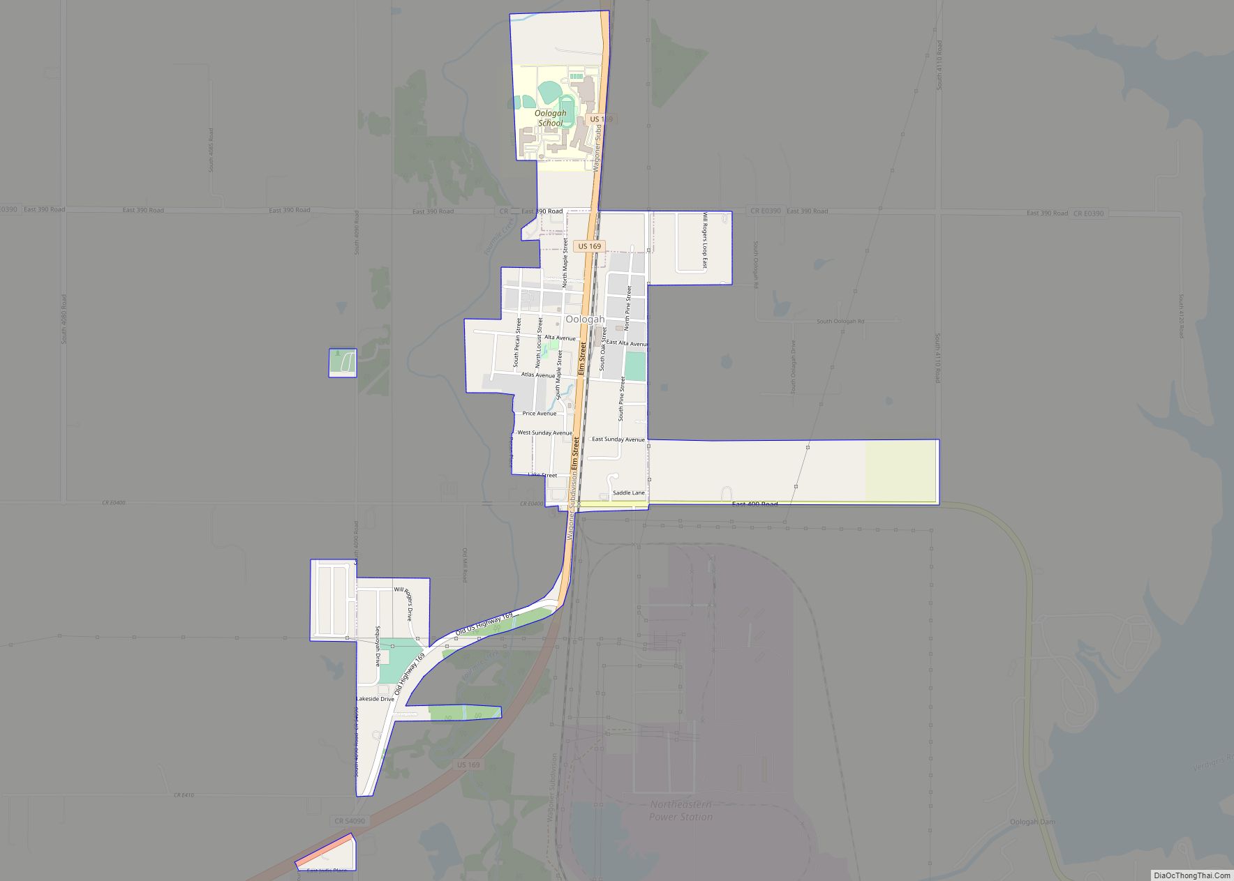
Oologah is a town in Rogers County, Oklahoma, United States. The renowned humorist Will Rogers was born on a ranch two miles east of Oologah, although he usually claimed Claremore as his birthplace “because nobody but an Indian can pronounce ‘Oologah.'” There has been disagreement about the proper spelling for the town name, but, nowadays, ... Read more
Map of US Cities and Places
Olustee is a town in Jackson County, Oklahoma, United States. “Olustee” is said to be a Seminole word meaning “pond” or from the Creek (Muscogee) language ue-lvste (/oy-lást-i/) meaning “black water”, and being taken from the Battle of Olustee in Florida. The population was 607 at the 2010 census. Olustee town overview: Name: Olustee town ... Read more
Old Green is a census-designated place (CDP) in Adair County, Oklahoma, United States. The population was 315 at the 2010 census. Old Green CDP overview: Name: Old Green CDP LSAD Code: 57 LSAD Description: CDP (suffix) State: Oklahoma County: Adair County Elevation: 1,093 ft (333 m) Total Area: 3.16 sq mi (8.18 km²) Land Area: 3.14 sq mi (8.14 km²) Water Area: 0.02 sq mi ... Read more
Old Eucha is a census-designated place (CDP) in Delaware County, Oklahoma, United States. The population was 52 at the 2010 census. Old Eucha CDP overview: Name: Old Eucha CDP LSAD Code: 57 LSAD Description: CDP (suffix) State: Oklahoma County: Delaware County Elevation: 940 ft (290 m) Total Area: 3.10 sq mi (8.03 km²) Land Area: 3.10 sq mi (8.03 km²) Water Area: 0.00 sq mi ... Read more
Oktaha is a town in Muskogee County, Oklahoma, United States. Oktaha town overview: Name: Oktaha town LSAD Code: 43 LSAD Description: town (suffix) State: Oklahoma County: Muskogee County Elevation: 604 ft (184 m) Total Area: 0.27 sq mi (0.71 km²) Land Area: 0.27 sq mi (0.71 km²) Water Area: 0.00 sq mi (0.00 km²) Total Population: 343 Population Density: 1,256.41/sq mi (485.17/km²) ZIP code: 74450 Area code: ... Read more
Okmulgee is a city in, and the county seat of, Okmulgee County, Oklahoma. The name is from the Mvskoke word okimulgee, which means “boiling waters”. The site was chosen because of the nearby rivers and springs. Okmulgee is 38 miles south of Tulsa and 13 miles north of Henryetta via US-75. Okmulgee is part of ... Read more
Park Hill is an unincorporated community and census-designated place (CDP) in southwestern Cherokee County, Oklahoma, United States. The population was 3,909 at the 2010 census. It lies near Tahlequah, east of the junction of U.S. Route 62 and State Highway 82. Founded in 1838, Park Hill became the home of many important Cherokee leaders, including ... Read more
Paradise Hill is a town in the northwest corner of Sequoyah County, Oklahoma, United States. It is part of the Fort Smith, Arkansas-Oklahoma Metropolitan Statistical Area. The population was 85 at the 2010 census, a decline from the figure of 100 recorded in 2000. Paradise Hill town overview: Name: Paradise Hill town LSAD Code: 43 ... Read more
Paoli (/peɪˈoʊlʌ/ pay-OH-luh) is a town in Garvin County, Oklahoma, United States. The population was 610 at the 2010 census. It was named after Paoli, Pennsylvania, an unincorporated community near Philadelphia from which many of the railroad workers who built the town came. Paoli town overview: Name: Paoli town LSAD Code: 43 LSAD Description: town ... Read more
Panola CDP overview: Name: Panola CDP LSAD Code: 57 LSAD Description: CDP (suffix) State: Oklahoma FIPS code: 4056950 Online Interactive Map Panola online map. Source: Basemap layers from Google Map, Open Street Map (OSM), Arcgisonline, Wmflabs. Boundary Data from Database of Global Administrative Areas. Panola location map. Where is Panola CDP? Panola Road Map Panola ... Read more
Panama is a town in Le Flore County, Oklahoma, United States. It is part of the Fort Smith, Arkansas-Oklahoma Metropolitan Statistical Area. The population was 1,413 at the 2010 census. Panama town overview: Name: Panama town LSAD Code: 43 LSAD Description: town (suffix) State: Oklahoma County: Le Flore County Elevation: 453 ft (138 m) Total Area: 2.28 sq mi ... Read more
Paden is a town in Okfuskee County, Oklahoma, United States. The population was 461 at the 2010 census. It is named for Paden Tolbert, a U.S. Deputy Marshal who served the area in the early 1900s. Paden town overview: Name: Paden town LSAD Code: 43 LSAD Description: town (suffix) State: Oklahoma County: Okfuskee County Elevation: ... Read more