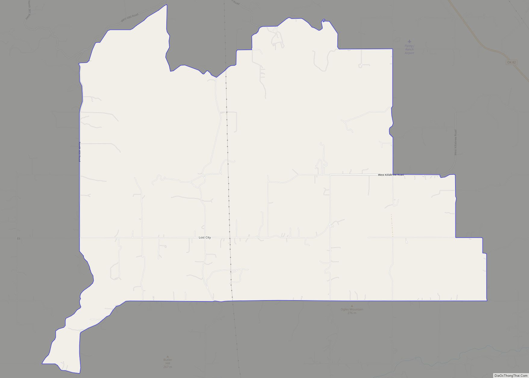
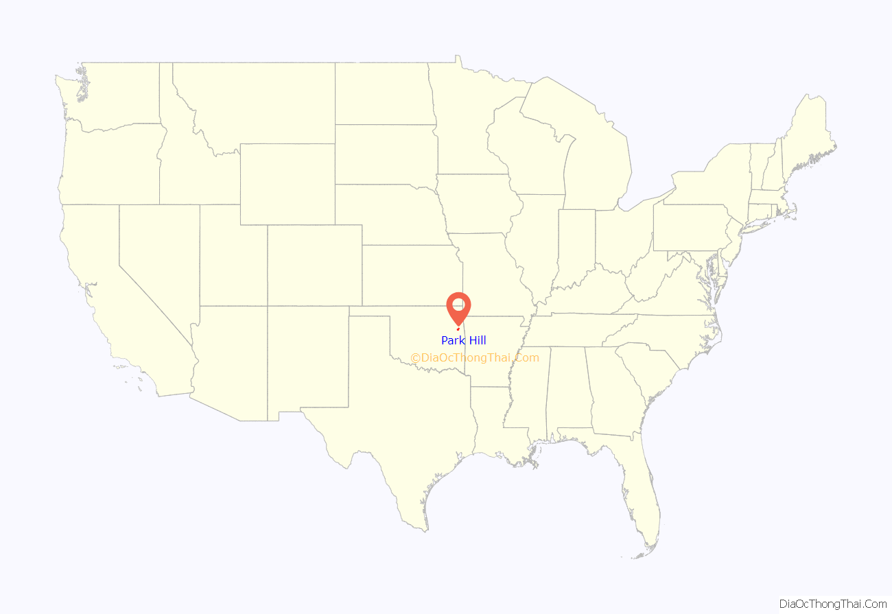
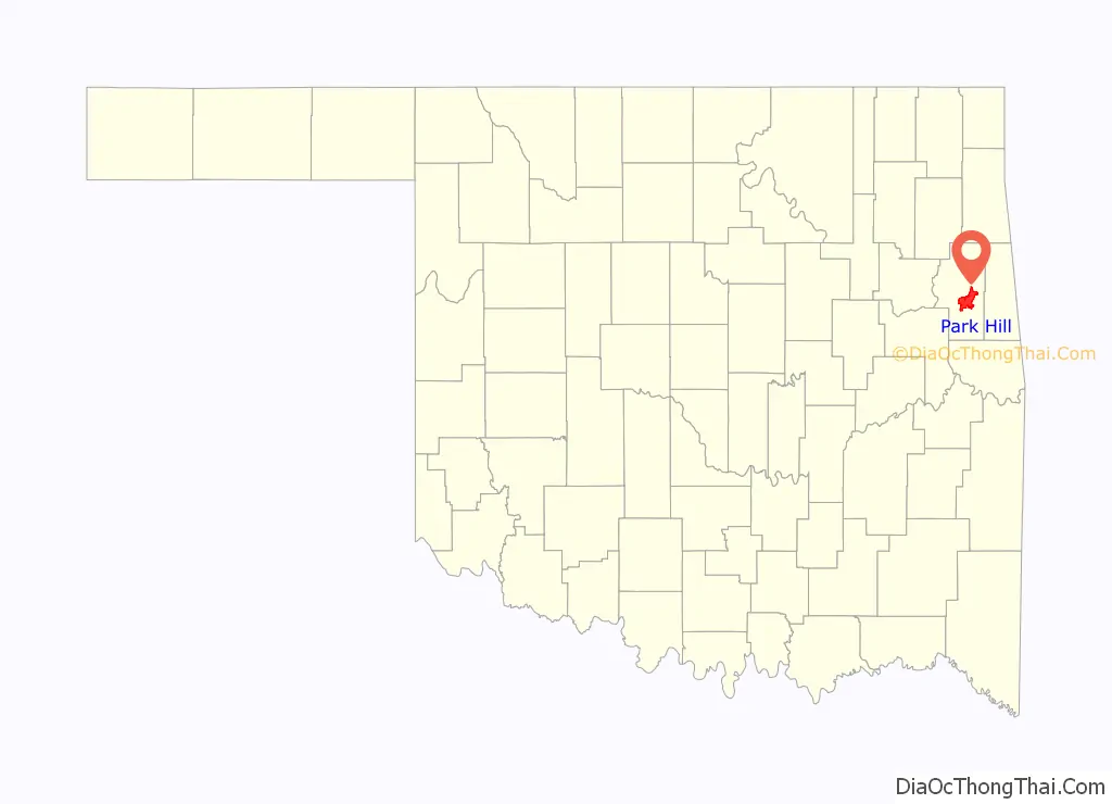
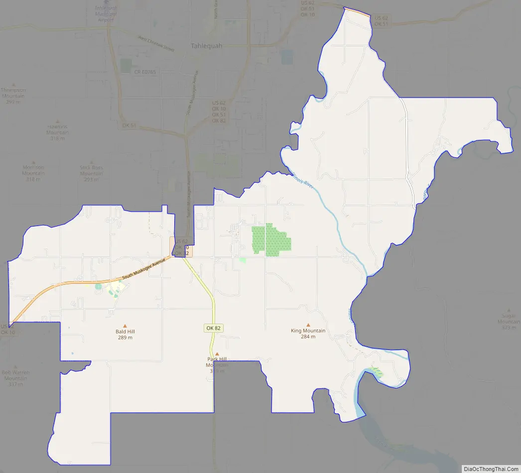
Park Hill is an unincorporated community and census-designated place (CDP) in southwestern Cherokee County, Oklahoma, United States. The population was 3,909 at the 2010 census. It lies near Tahlequah, east of the junction of U.S. Route 62 and State Highway 82.
Founded in 1838, Park Hill became the home of many important Cherokee leaders, including John Ross after their removal from the southeastern U.S. It has been called “the center of Cherokee culture.”
| Name: | Park Hill CDP |
|---|---|
| LSAD Code: | 57 |
| LSAD Description: | CDP (suffix) |
| State: | Oklahoma |
| County: | Cherokee County |
| Elevation: | 748 ft (228 m) |
| Total Area: | 25.16 sq mi (65.17 km²) |
| Land Area: | 24.83 sq mi (64.32 km²) |
| Water Area: | 0.33 sq mi (0.85 km²) |
| Total Population: | 3,193 |
| Population Density: | 128.58/sq mi (49.65/km²) |
| ZIP code: | 74451 |
| Area code: | 539/918 |
| FIPS code: | 4057300 |
| GNISfeature ID: | U.S. Geological Survey Geographic Names Information System: Park Hill, Oklahoma |
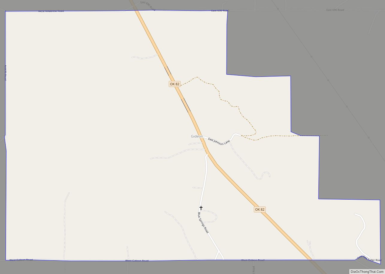
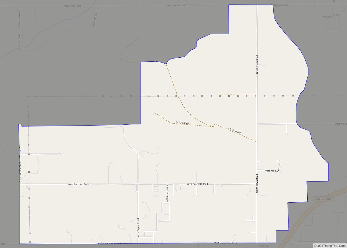
Online Interactive Map
Click on ![]() to view map in "full screen" mode.
to view map in "full screen" mode.
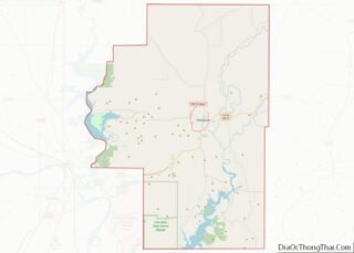
Park Hill location map. Where is Park Hill CDP?
History
Park Hill was a pre-established hamlet that became the home for many of the Cherokee after coming from the East on the “Trail of Tears”. In 1829 the Park Hill Mission was established. The mission had one of the earliest presses in Oklahoma, the Park Hill Mission Press. The first post office was established at Park Hill on May 18, 1838. It was in Park Hill that Chief John Ross made his home in 1839, as well as his nephew-in-law George Murrell, whose home still stands. On May 6, 1847, the post office was moved to Tahlequah. The Cherokee Female Seminary was built here in 1849.
Park Hill was the center of culture for the Cherokees for many years, and as such in 1940 the National Society of the Colonial Dames of America in Oklahoma erected a marker at Park Hill declaring it the “Center of Cherokee culture”.
The post office at Park Hill was re-established April 22, 1892.
In and around Park Hill are several important sites listed on the National Register of Historic Places, including the Murrell Home, the Park Hill Mission Cemetery (also known as the Worcester cemetery), the Ross Cemetery, and the original Cherokee Female Seminary. The Cherokee Heritage Center in Park Hill, was built on the former grounds of the Female Seminary. The Echota Ceremonial Ground has been located in Park Hill since 2001, on the north side of town.
Park Hill Mission, which antedated the community, was founded in 1829. The first person buried in Park Hill Mission Cemetery was Elias Boudinot, founder of the Cherokee Phoenix newspaper, who was assassinated in Park Hill on June 23, 1839. Samuel Worcester and his two wives were also interred here. The last burial in this cemetery was a Worcester daughter, Ann Eliza Worcester Robertson. in 1905. This cemetery was listed on the National Register of Historic Places on December 6, 2006.
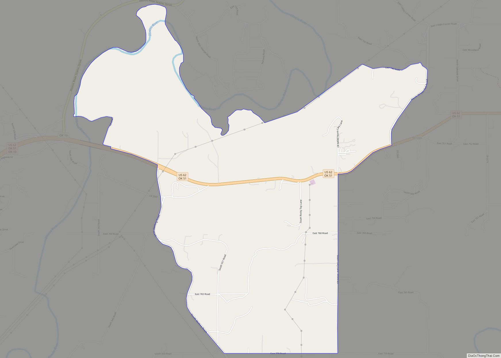
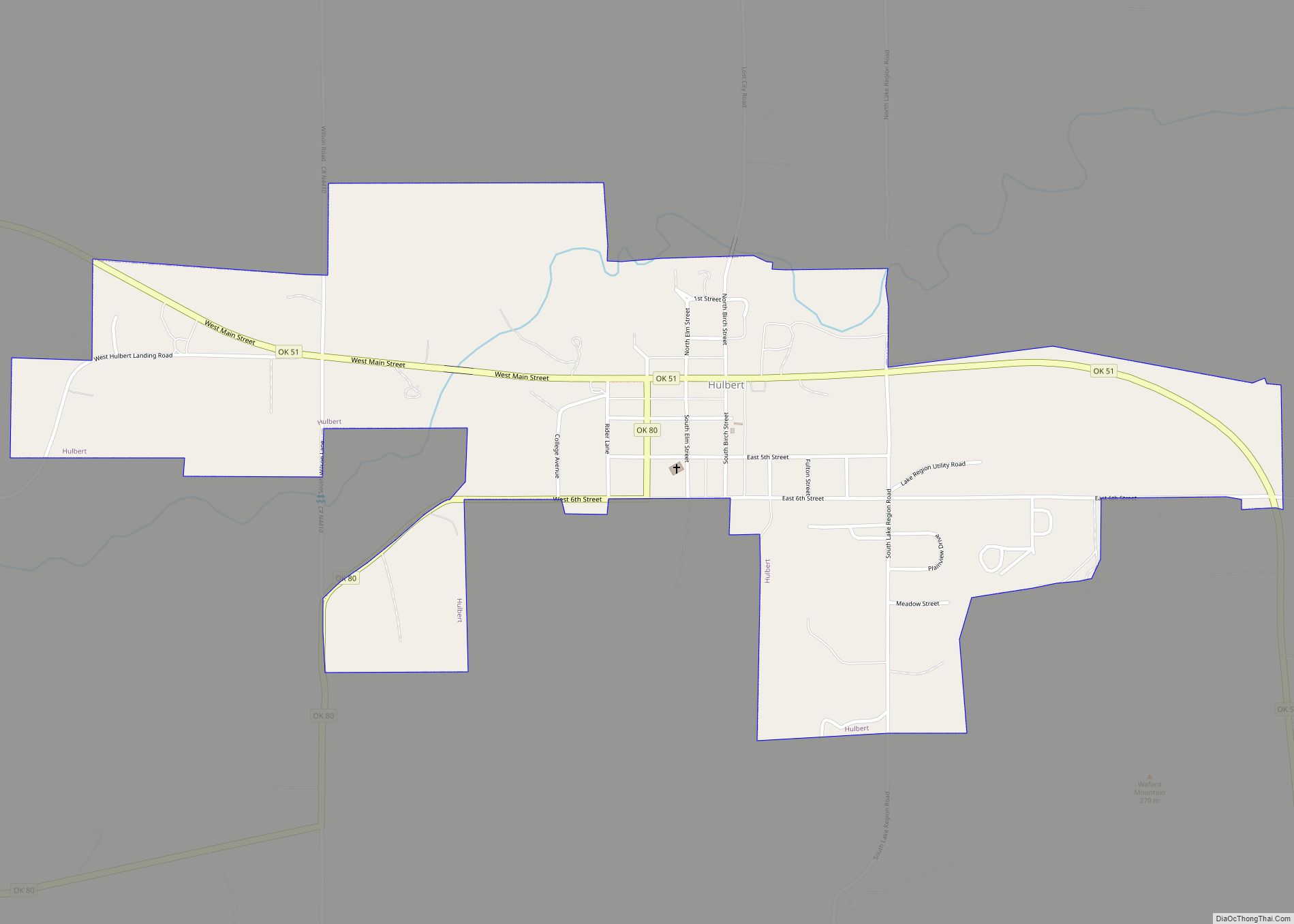
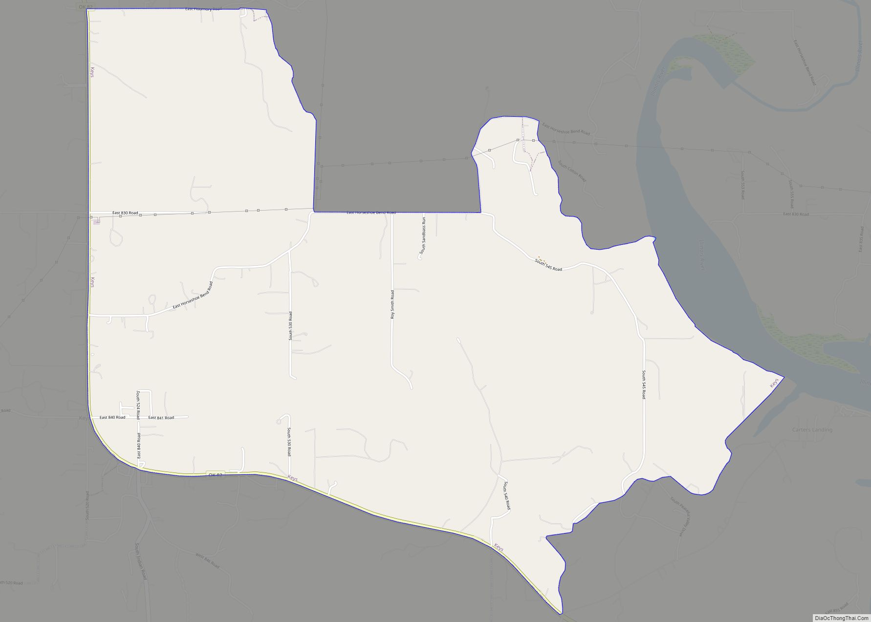
Park Hill Road Map
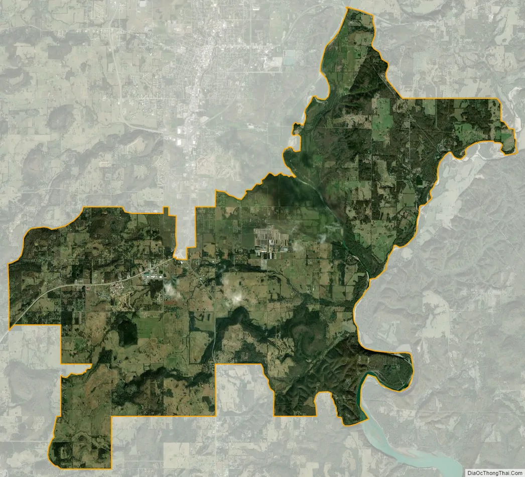
Park Hill city Satellite Map
Geography
Park Hill is located south of the center of Cherokee County at 35°51′49″N 94°56′52″W / 35.86361°N 94.94778°W / 35.86361; -94.94778 (35.863727, -94.947829). It is bordered to the north by Tahlequah, the county seat. U.S. Route 62 leads north to Tahlequah and southwest 25 miles (40 km) to Muskogee, while Oklahoma State Highway 82 leads south 31 miles (50 km) to Vian.
According to the United States Census Bureau, the Park Hills CDP has a total area of 34.9 square miles (90.4 km), of which 34.4 square miles (89.1 km) is land and 0.50 square miles (1.3 km), or 1.48%, is water.
See also
Map of Oklahoma State and its subdivision:- Adair
- Alfalfa
- Atoka
- Beaver
- Beckham
- Blaine
- Bryan
- Caddo
- Canadian
- Carter
- Cherokee
- Choctaw
- Cimarron
- Cleveland
- Coal
- Comanche
- Cotton
- Craig
- Creek
- Custer
- Delaware
- Dewey
- Ellis
- Garfield
- Garvin
- Grady
- Grant
- Greer
- Harmon
- Harper
- Haskell
- Hughes
- Jackson
- Jefferson
- Johnston
- Kay
- Kingfisher
- Kiowa
- Latimer
- Le Flore
- Lincoln
- Logan
- Love
- Major
- Marshall
- Mayes
- McClain
- McCurtain
- McIntosh
- Murray
- Muskogee
- Noble
- Nowata
- Okfuskee
- Oklahoma
- Okmulgee
- Osage
- Ottawa
- Pawnee
- Payne
- Pittsburg
- Pontotoc
- Pottawatomie
- Pushmataha
- Roger Mills
- Rogers
- Seminole
- Sequoyah
- Stephens
- Texas
- Tillman
- Tulsa
- Wagoner
- Washington
- Washita
- Woods
- Woodward
- Alabama
- Alaska
- Arizona
- Arkansas
- California
- Colorado
- Connecticut
- Delaware
- District of Columbia
- Florida
- Georgia
- Hawaii
- Idaho
- Illinois
- Indiana
- Iowa
- Kansas
- Kentucky
- Louisiana
- Maine
- Maryland
- Massachusetts
- Michigan
- Minnesota
- Mississippi
- Missouri
- Montana
- Nebraska
- Nevada
- New Hampshire
- New Jersey
- New Mexico
- New York
- North Carolina
- North Dakota
- Ohio
- Oklahoma
- Oregon
- Pennsylvania
- Rhode Island
- South Carolina
- South Dakota
- Tennessee
- Texas
- Utah
- Vermont
- Virginia
- Washington
- West Virginia
- Wisconsin
- Wyoming