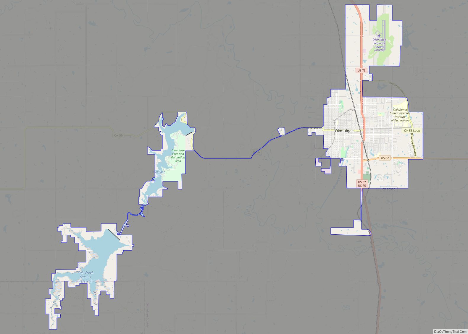
Okmulgee is a city in, and the county seat of, Okmulgee County, Oklahoma. The name is from the Mvskoke word okimulgee, which means “boiling waters”. The site was chosen because of the nearby rivers and springs. Okmulgee is 38 miles south of Tulsa and 13 miles north of Henryetta via US-75. Okmulgee is part of the Tulsa Metropolitan Area.
| Name: | Okmulgee city |
|---|---|
| LSAD Code: | 25 |
| LSAD Description: | city (suffix) |
| State: | Oklahoma |
| County: | Okmulgee County |
| Elevation: | 686 ft (209 m) |
| Total Area: | 19.98 sq mi (51.76 km²) |
| Land Area: | 17.22 sq mi (44.59 km²) |
| Water Area: | 2.77 sq mi (7.17 km²) |
| Total Population: | 11,322 |
| Population Density: | 657.61/sq mi (253.90/km²) |
| ZIP code: | 74447 |
| Area code: | 539/918 |
| FIPS code: | 4055150 |
| GNISfeature ID: | 1096218 |
| Website: | okmulgeeonline.com |
Online Interactive Map
Click on ![]() to view map in "full screen" mode.
to view map in "full screen" mode.
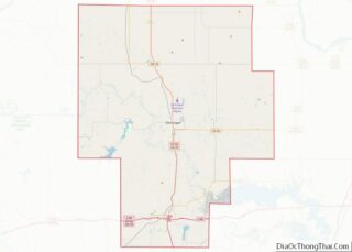
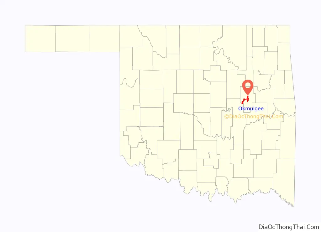
Okmulgee location map. Where is Okmulgee city?

History
Okmulgee has been the capital of the Muscogee (Creek) Nation since 1868, when it was founded following the Civil War. The Creek Nation began restoring order after that conflict. They had allied with the Confederacy during the war and needed to make a new peace treaty with the United States afterward as a result. They passed a new constitution and elected Samuel Checote as their first principal chief after the war.
In 1869, a post office (originally spelled Okmulkee) was established in the town, with Captain Frederick B. Severs appointed as the first postmaster. The name of the post office was officially changed to the present spelling on November 15, 1883. For seven years, beginning December 20, 1870, Okmulgee was the seat of government of all of what would become the State of Oklahoma, except for the Panhandle.
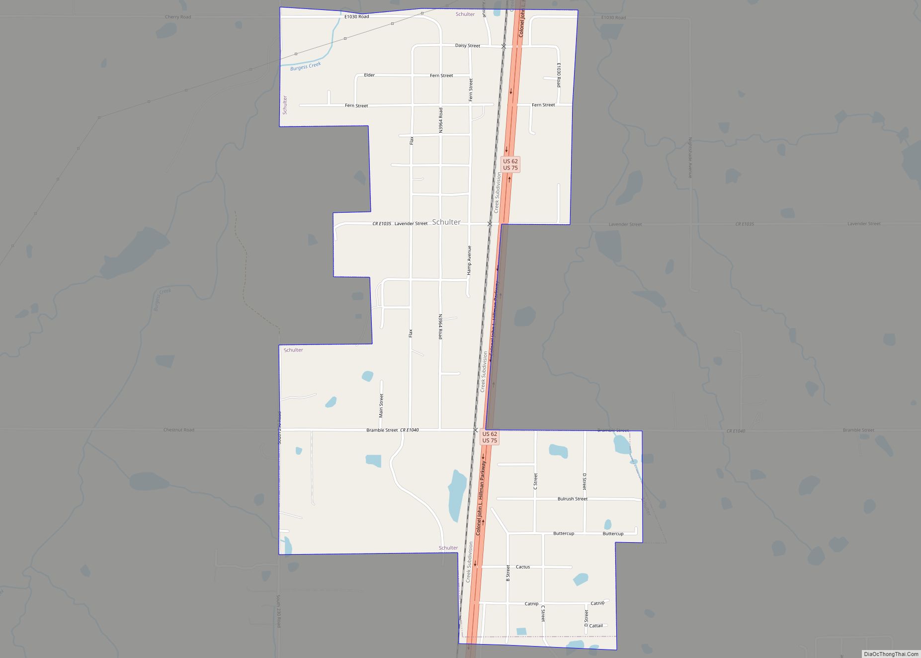
Okmulgee became a transportation center. The St. Louis, Oklahoma and Southern Railway (later absorbed by the St. Louis – San Francisco Railway or “Frisco”) reached Okmulgee in 1900; this route still remains and is now operated by the BNSF Railway. The Shawnee, Oklahoma and Missouri Coal and Railway (also later acquired by the Frisco) was built from Muskogee to Okmulgee in 1902-03, and lasted until abandoned in 1973. And, the shortline Coalton Railway, later called the Okmulgee Northern Railway, operated between Okmulgee and Deep Fork carrying coal from the producing areas around Schulter, Coalton and Dewar from 1916 to 1964. Railroad projects which tried unsuccessfully to reach Okmulgee include the Oklahoma-Southwestern Railway, which planned to build from Bristow to Okmulgee but only made it to Nuyaka; and, the Kansas, Okmulgee and Gulf Railroad, which planned a line from Kansas City through Okmulgee to a point on the Red River, but never got off the ground.
The arrival of the railways triggered a building boom. By the time of Oklahoma statehood in 1907, the town had 2,322 residents and was named as the seat of Okmulgee County.
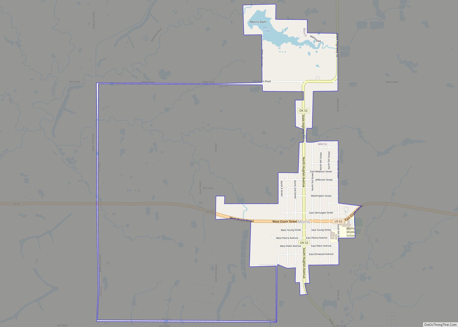
Coal mined in the Henryetta area and agriculture were the basis of the early economy. Discovery of oil at nearby Morris in 1907 stimulated expansion of Okmulgee, and attracted several new industries to town. These included three glass factories, a bottle factory, and foundry and machine shops. Five local refineries were operational by the early 1920s.
These industries were a catalyst for growth: The population was 4,176 in the 1910 census, but the city boomed to approximately 35,000 people during the 1920s. A newspaper article from this era claimed Okmulgee had more millionaires per capita than anyplace else in Oklahoma. The Okmulgee Chamber of Commerce has said the town had more millionaires per capita than any other place in the entire country.
But decreasing oil production and lower prices, the coming of the Great Depression, and other factors caused the population to shrink to 17,097 by the 1930 census. The population then remained relatively stable for a time, increasing slightly to 18,317 by the 1950 census. In the postwar period, there was an urbanization shift of population toward larger cities and their suburbs because of job opportunities, and the city’s population declined again. The population at the 2020 census was 11,332, a loss of about 8% percent from the 2010 census figure of 12,321.
Okmulgee Road Map
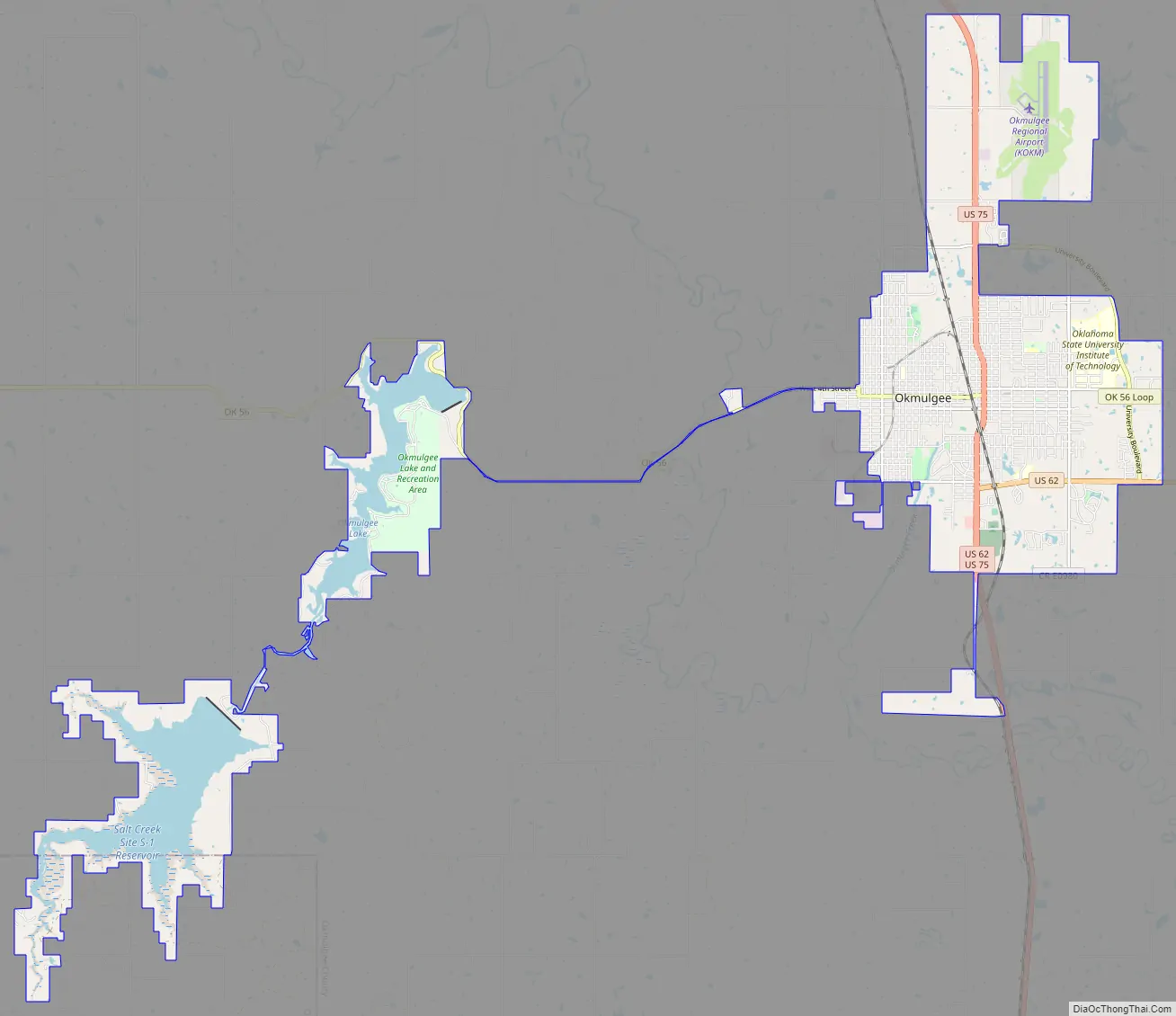
Okmulgee city Satellite Map

Geography
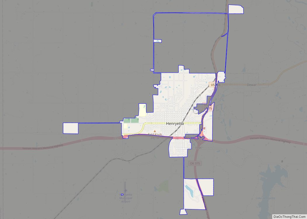
Okmulgee is located at 35°37′28″N 95°57′48″W / 35.62444°N 95.96333°W / 35.62444; -95.96333 (35.624558, -95.963254). According to the United States Census Bureau, the city has a total area of 33.8 square miles (33.2 km), all of its land. It is located in the heart of Oklahoma’s “Green Country”, in the North East Quadrant of Oklahoma. Okmulgee is 38 miles south of Tulsa and 13 miles north of Henryetta via US-75.
See also
Map of Oklahoma State and its subdivision:- Adair
- Alfalfa
- Atoka
- Beaver
- Beckham
- Blaine
- Bryan
- Caddo
- Canadian
- Carter
- Cherokee
- Choctaw
- Cimarron
- Cleveland
- Coal
- Comanche
- Cotton
- Craig
- Creek
- Custer
- Delaware
- Dewey
- Ellis
- Garfield
- Garvin
- Grady
- Grant
- Greer
- Harmon
- Harper
- Haskell
- Hughes
- Jackson
- Jefferson
- Johnston
- Kay
- Kingfisher
- Kiowa
- Latimer
- Le Flore
- Lincoln
- Logan
- Love
- Major
- Marshall
- Mayes
- McClain
- McCurtain
- McIntosh
- Murray
- Muskogee
- Noble
- Nowata
- Okfuskee
- Oklahoma
- Okmulgee
- Osage
- Ottawa
- Pawnee
- Payne
- Pittsburg
- Pontotoc
- Pottawatomie
- Pushmataha
- Roger Mills
- Rogers
- Seminole
- Sequoyah
- Stephens
- Texas
- Tillman
- Tulsa
- Wagoner
- Washington
- Washita
- Woods
- Woodward
- Alabama
- Alaska
- Arizona
- Arkansas
- California
- Colorado
- Connecticut
- Delaware
- District of Columbia
- Florida
- Georgia
- Hawaii
- Idaho
- Illinois
- Indiana
- Iowa
- Kansas
- Kentucky
- Louisiana
- Maine
- Maryland
- Massachusetts
- Michigan
- Minnesota
- Mississippi
- Missouri
- Montana
- Nebraska
- Nevada
- New Hampshire
- New Jersey
- New Mexico
- New York
- North Carolina
- North Dakota
- Ohio
- Oklahoma
- Oregon
- Pennsylvania
- Rhode Island
- South Carolina
- South Dakota
- Tennessee
- Texas
- Utah
- Vermont
- Virginia
- Washington
- West Virginia
- Wisconsin
- Wyoming