Oologah is a town in Rogers County, Oklahoma, United States. The renowned humorist Will Rogers was born on a ranch two miles east of Oologah, although he usually claimed Claremore as his birthplace “because nobody but an Indian can pronounce ‘Oologah.'” There has been disagreement about the proper spelling for the town name, but, nowadays, the official spelling is consider to be Oologah. It was often spelled Oolagah before statehood, and this spelling appears on some old buildings.
| Name: | Oologah town |
|---|---|
| LSAD Code: | 43 |
| LSAD Description: | town (suffix) |
| State: | Oklahoma |
| County: | Rogers County |
| Elevation: | 640 ft (200 m) |
| Total Area: | 1.66 sq mi (4.31 km²) |
| Land Area: | 1.66 sq mi (4.31 km²) |
| Water Area: | 0.00 sq mi (0.00 km²) |
| Total Population: | 1,305 |
| Population Density: | 785.20/sq mi (303.13/km²) |
| ZIP code: | 74053 |
| Area code: | 539/918 |
| FIPS code: | 4055750 |
| GNISfeature ID: | 2413081 |
| Website: | https://www.townofoologah.org/ |
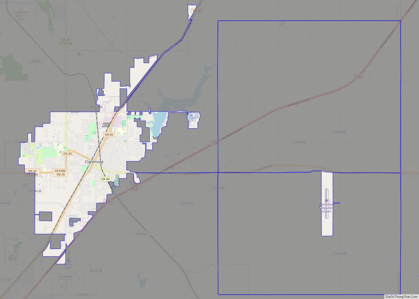
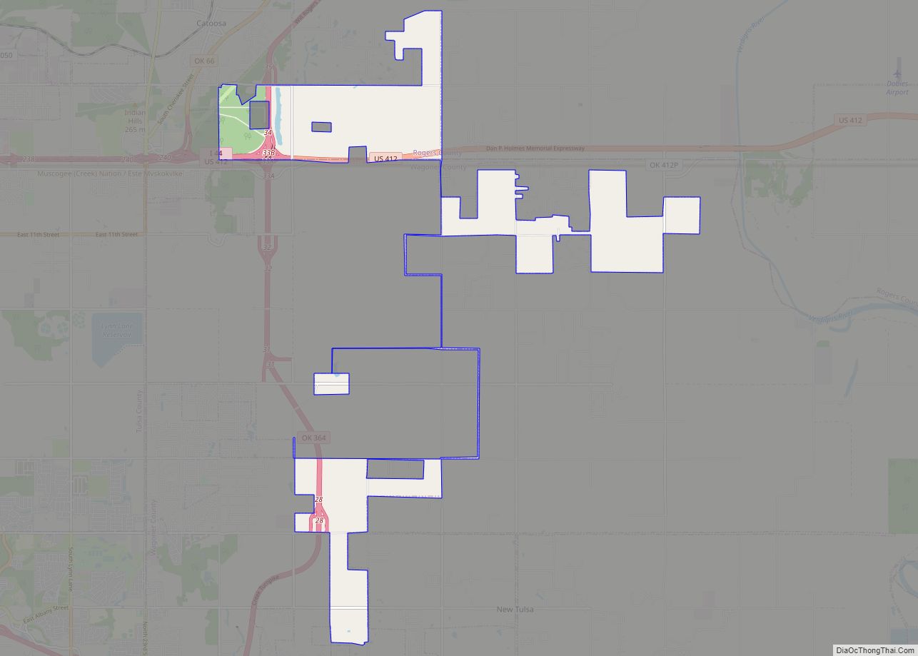
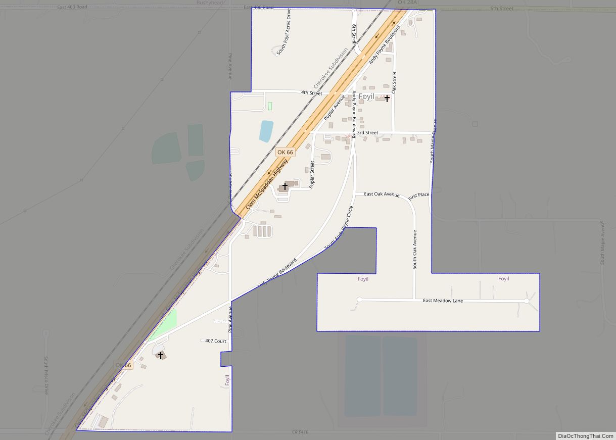
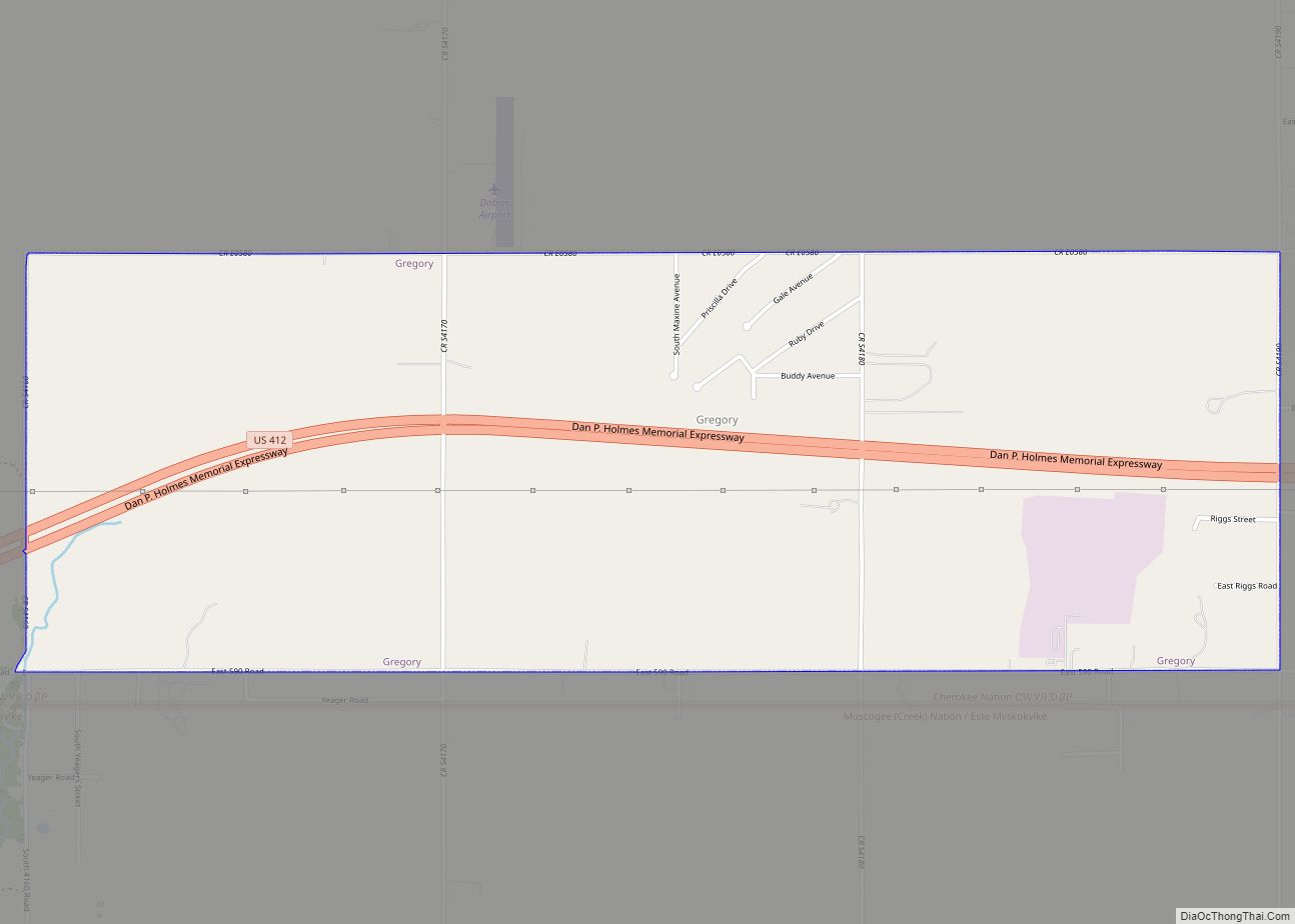
Online Interactive Map
Click on ![]() to view map in "full screen" mode.
to view map in "full screen" mode.
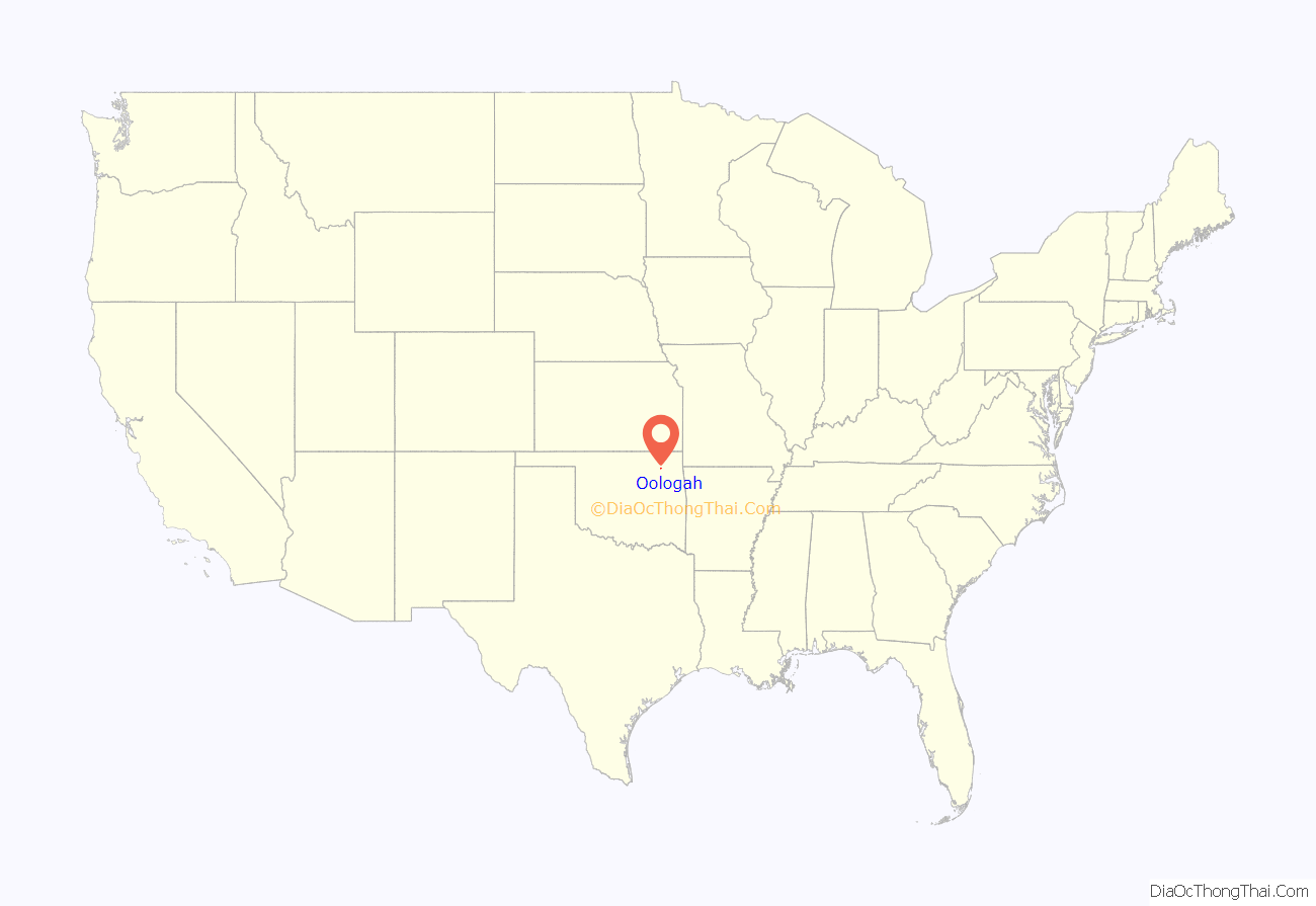
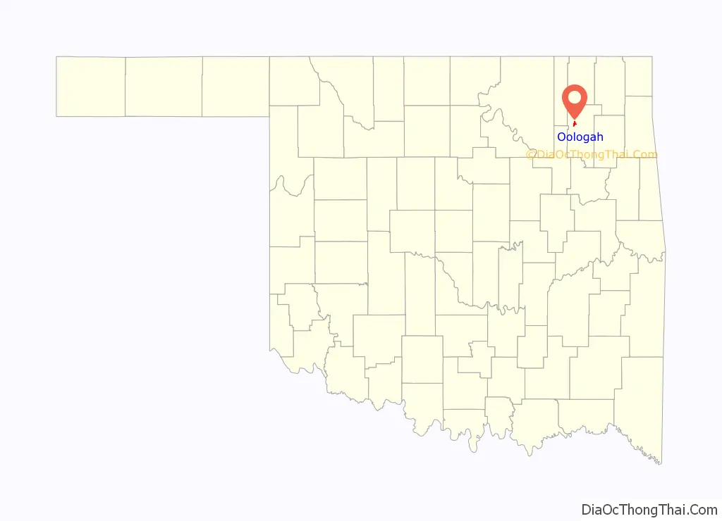
Oologah location map. Where is Oologah town?
History
In 1889, the Kansas and Arkansas Valley Railway (later, the St. Louis, Iron Mountain and Southern Railway, subsequently a part of the Missouri Pacific Railroad, and currently, the Union Pacific Railroad) laid tracks through the area and established a townsite named Oologah, Indian Territory. Oologah was named for Oologah (Dark Cloud), a Cherokee chief. The Encyclopedia of Oklahoma History and Culture says that the Oklahoma Federal Writers’ Project claimed the name translates from the Cherokee as “red horse fish,” while some other sources say that the name means “cloudy weather” or just “clouds.”The post office was opened May 25, 1891.
Early in the 20th century, the town flourished because of agriculture, coal mining, and oil and gas production. However, these were hard hit during the Great Depression. The town’s population declined from 324 in 1910 to 236 in 1940. The population had recovered to 299 in 1960. Construction of Oologah dam and lake in 1963, east of town, revitalized the town, which has continued to grow.
In 1963, the Army Corps of Engineers completed the first phase of Oologah Lake.
In 1991, an F4 tornado which was part of the Andover, Kansas tornado outbreak destroyed the north side of Oologah, including the town’s school.
Oologah Road Map
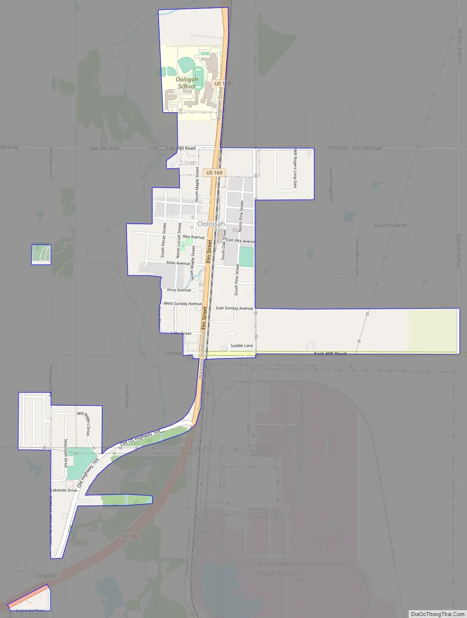
Oologah city Satellite Map

Geography
Oologah is located at 36°26′36″N 95°42′34″W / 36.44333°N 95.70944°W / 36.44333; -95.70944 (36.443268, -95.709399). According to the United States Census Bureau, the town has a total area of 1.25 square miles (3.2 km), all land.
See also
Map of Oklahoma State and its subdivision:- Adair
- Alfalfa
- Atoka
- Beaver
- Beckham
- Blaine
- Bryan
- Caddo
- Canadian
- Carter
- Cherokee
- Choctaw
- Cimarron
- Cleveland
- Coal
- Comanche
- Cotton
- Craig
- Creek
- Custer
- Delaware
- Dewey
- Ellis
- Garfield
- Garvin
- Grady
- Grant
- Greer
- Harmon
- Harper
- Haskell
- Hughes
- Jackson
- Jefferson
- Johnston
- Kay
- Kingfisher
- Kiowa
- Latimer
- Le Flore
- Lincoln
- Logan
- Love
- Major
- Marshall
- Mayes
- McClain
- McCurtain
- McIntosh
- Murray
- Muskogee
- Noble
- Nowata
- Okfuskee
- Oklahoma
- Okmulgee
- Osage
- Ottawa
- Pawnee
- Payne
- Pittsburg
- Pontotoc
- Pottawatomie
- Pushmataha
- Roger Mills
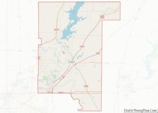
- Rogers
- Seminole
- Sequoyah
- Stephens
- Texas
- Tillman
- Tulsa
- Wagoner
- Washington
- Washita
- Woods
- Woodward
- Alabama
- Alaska
- Arizona
- Arkansas
- California
- Colorado
- Connecticut
- Delaware
- District of Columbia
- Florida
- Georgia
- Hawaii
- Idaho
- Illinois
- Indiana
- Iowa
- Kansas
- Kentucky
- Louisiana
- Maine
- Maryland
- Massachusetts
- Michigan
- Minnesota
- Mississippi
- Missouri
- Montana
- Nebraska
- Nevada
- New Hampshire
- New Jersey
- New Mexico
- New York
- North Carolina
- North Dakota
- Ohio
- Oklahoma
- Oregon
- Pennsylvania
- Rhode Island
- South Carolina
- South Dakota
- Tennessee
- Texas
- Utah
- Vermont
- Virginia
- Washington
- West Virginia
- Wisconsin
- Wyoming