Map of Zarate CDP
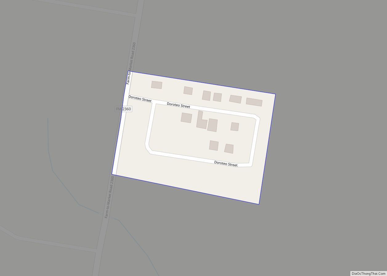
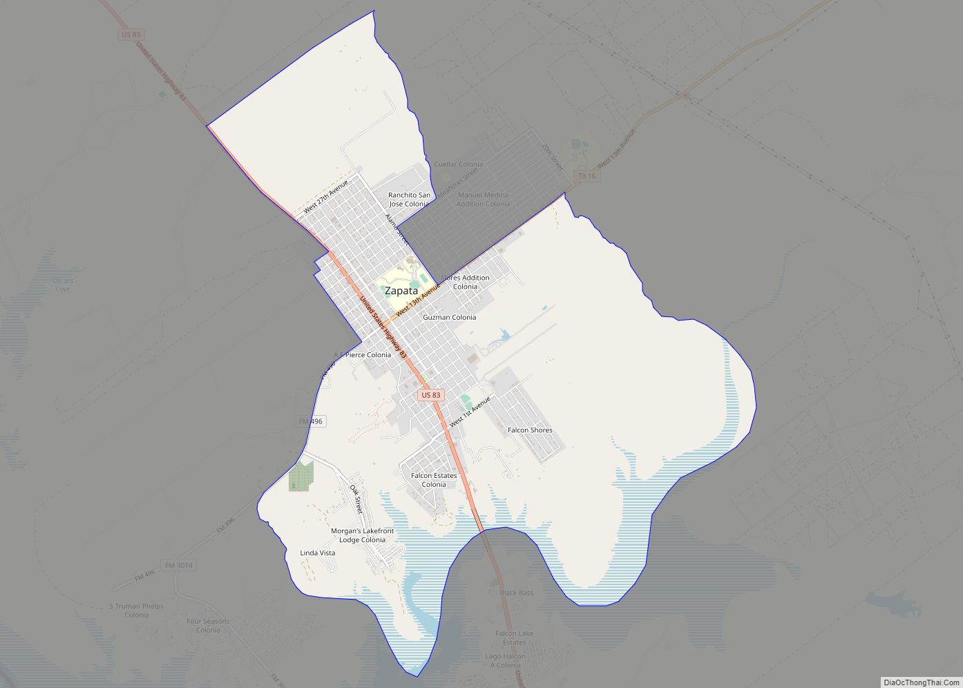
Zarate is a census-designated place (CDP) in Starr County, Texas, United States. This was a new CDP for the 2010 census with a population of 59. Zarate CDP overview: Name: Zarate CDP LSAD Code: 57 LSAD Description: CDP (suffix) State: Texas County: Starr County Total Area: 59 FIPS code: 4880724 Online Interactive Map Zarate online ... Read more
Map of Zarate CDP
Map of Zapata CDP
Zapata is a census-designated place (CDP) in and the county seat of Zapata County, Texas, United States. The population was 5,089 at the 2010 census. As an unincorporated community, Zapata has no municipal government but like all 254 Texas counties has four elected county commissioners chosen by single-member districts and a countywide elected administrative judge. ... Read more
Map of Zapata CDP
Map of Zapata Ranch CDP
Zapata Ranch is a census-designated place (CDP) in Willacy County, Texas, United States. The population was 108 at the 2010 census. Zapata Ranch CDP overview: Name: Zapata Ranch CDP LSAD Code: 57 LSAD Description: CDP (suffix) State: Texas County: Willacy County Elevation: 39 ft (12 m) Total Area: 1.4 sq mi (3.6 km²) Land Area: 1.4 sq mi (3.6 km²) Water Area: 0.0 sq mi ... Read more
Map of Zapata Ranch CDP
Map of Yznaga CDP
Yznaga is a census-designated place (CDP) in Cameron County, Texas, United States. The population was 91 at the 2010 census. It is part of the Brownsville–Harlingen Metropolitan Statistical Area. Yznaga CDP overview: Name: Yznaga CDP LSAD Code: 57 LSAD Description: CDP (suffix) State: Texas County: Cameron County Elevation: 43 ft (13 m) Total Area: 5.46 sq mi (14.15 km²) Land ... Read more
Map of Yznaga CDP
Map of Yorktown city, Texas
Yorktown is a city in DeWitt County, Texas, United States. The population was 1,810 at the 2020 census. Yorktown city overview: Name: Yorktown city LSAD Code: 25 LSAD Description: city (suffix) State: Texas County: DeWitt County Elevation: 276 ft (84 m) Total Area: 1.73 sq mi (4.47 km²) Land Area: 1.73 sq mi (4.47 km²) Water Area: 0.00 sq mi (0.00 km²) Total Population: 1,810 Population ... Read more
Map of Yorktown city, Texas
Map of Alton town, Utah
Alton is a town in northwest Kane County, Utah, United States. The population was 119 at the 2010 census, a decrease from the 2000 figure of 134. Alton town overview: Name: Alton town LSAD Code: 43 LSAD Description: town (suffix) State: Utah County: Kane County Founded: 1907 Incorporated: 1935 Elevation: 7,041 ft (2,146 m) Total Area: 2.33 sq mi ... Read more
Map of Alton town, Utah
Map of Ballard town, Utah
Ballard (/ˈbælərd/ BAL-ərd) is a city in Uintah County, Utah, United States. The population was 801 at the 2010 census, an increase from the 2000 population of 566. Ballard town overview: Name: Ballard town LSAD Code: 43 LSAD Description: town (suffix) State: Utah County: Uintah County Elevation: 5,049 ft (1,539 m) Total Area: 13.98 sq mi (36.21 km²) Land Area: ... Read more
Map of Ballard town, Utah
Map of Aurora city, Utah
Aurora is a city in north-central Sevier County, Utah, United States. The population was 1,016 at the 2010 census. Aurora is predominantly supported by agriculture, coal mining, and the service sector. Most residents commute to one of the neighboring communities to work. Children are schooled in Salina at one of the three public schools. The ... Read more
Map of Aurora city, Utah
Map of Apple Valley town, Utah
Apple Valley is a town in Washington County, Utah, United States, located 12 miles (19 km) east of Hurricane along SR-59. The population was 701 at the 2010 census. Apple Valley was incorporated on October 15, 2004, and a 2007 population estimate by the US Census Bureau placed its population at 427. In 2006, some town ... Read more
Map of Apple Valley town, Utah
Map of Antimony town
Antimony is a town in Garfield County, Utah, United States. The population was 122 at the 2010 census, the same as the 2000 census. Antimony town overview: Name: Antimony town LSAD Code: 43 LSAD Description: town (suffix) State: Utah County: Garfield County Incorporated: 1934 Elevation: 6,453 ft (1,967 m) Total Area: 9.82 sq mi (25.44 km²) Land Area: 9.82 sq mi (25.44 km²) ... Read more
Map of Antimony town
Map of Annabella town
Annabella is a town in Sevier County, Utah, United States. The population was 795 at the 2010 census, an increase over the 2000 figure of 603. Annabella town overview: Name: Annabella town LSAD Code: 43 LSAD Description: town (suffix) State: Utah County: Sevier County Elevation: 5,292 ft (1,613 m) Total Area: 0.65 sq mi (1.69 km²) Land Area: 0.65 sq mi (1.69 km²) ... Read more
Map of Annabella town
Map of Aneth CDP
Aneth (Navajo: Tʼáá Bííchʼį́įdii) is a census-designated place (CDP) in San Juan County, Utah, United States. The population was 598 at the 2000 census. The origin of the name Aneth is obscure. Aneth CDP overview: Name: Aneth CDP LSAD Code: 57 LSAD Description: CDP (suffix) State: Utah County: San Juan County Elevation: 4,511 ft (1,375 m) Total ... Read more
Map of Aneth CDP