Annabella is a town in Sevier County, Utah, United States. The population was 795 at the 2010 census, an increase over the 2000 figure of 603.
| Name: | Annabella town |
|---|---|
| LSAD Code: | 43 |
| LSAD Description: | town (suffix) |
| State: | Utah |
| County: | Sevier County |
| Elevation: | 5,292 ft (1,613 m) |
| Total Area: | 0.65 sq mi (1.69 km²) |
| Land Area: | 0.65 sq mi (1.69 km²) |
| Water Area: | 0.00 sq mi (0.00 km²) |
| Total Population: | 795 |
| Population Density: | 1,242.33/sq mi (479.76/km²) |
| ZIP code: | 84711 |
| Area code: | 435 |
| FIPS code: | 4901750 |
| GNISfeature ID: | 1438228 |
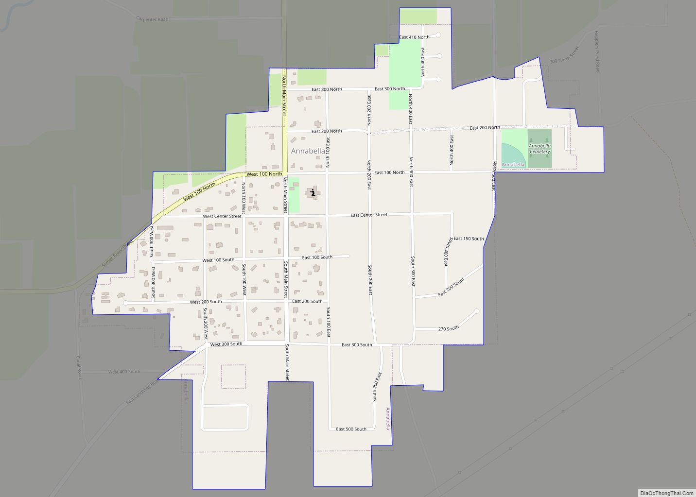
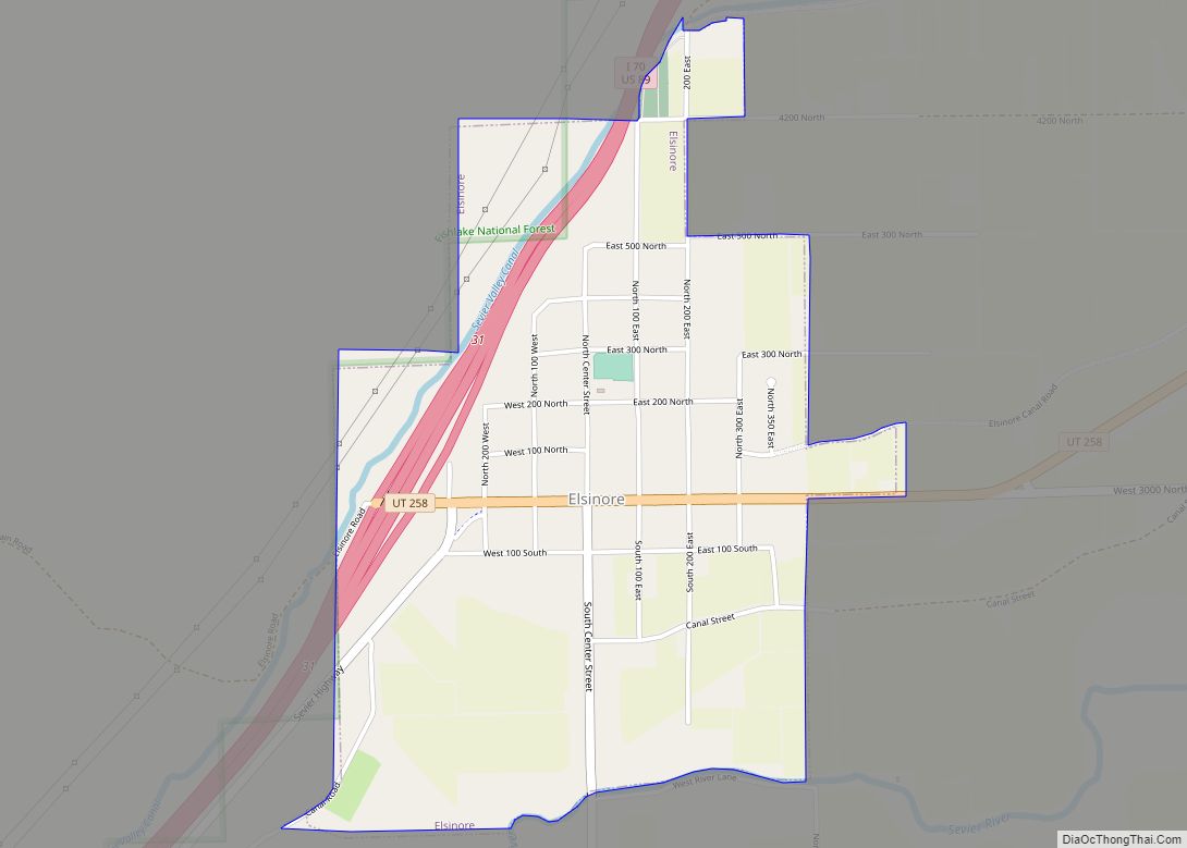
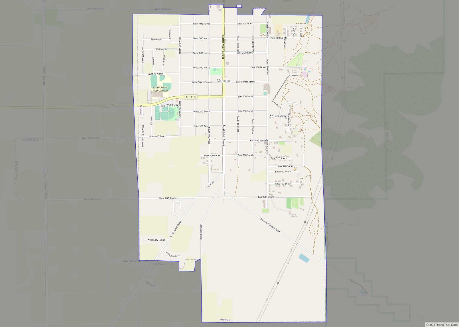
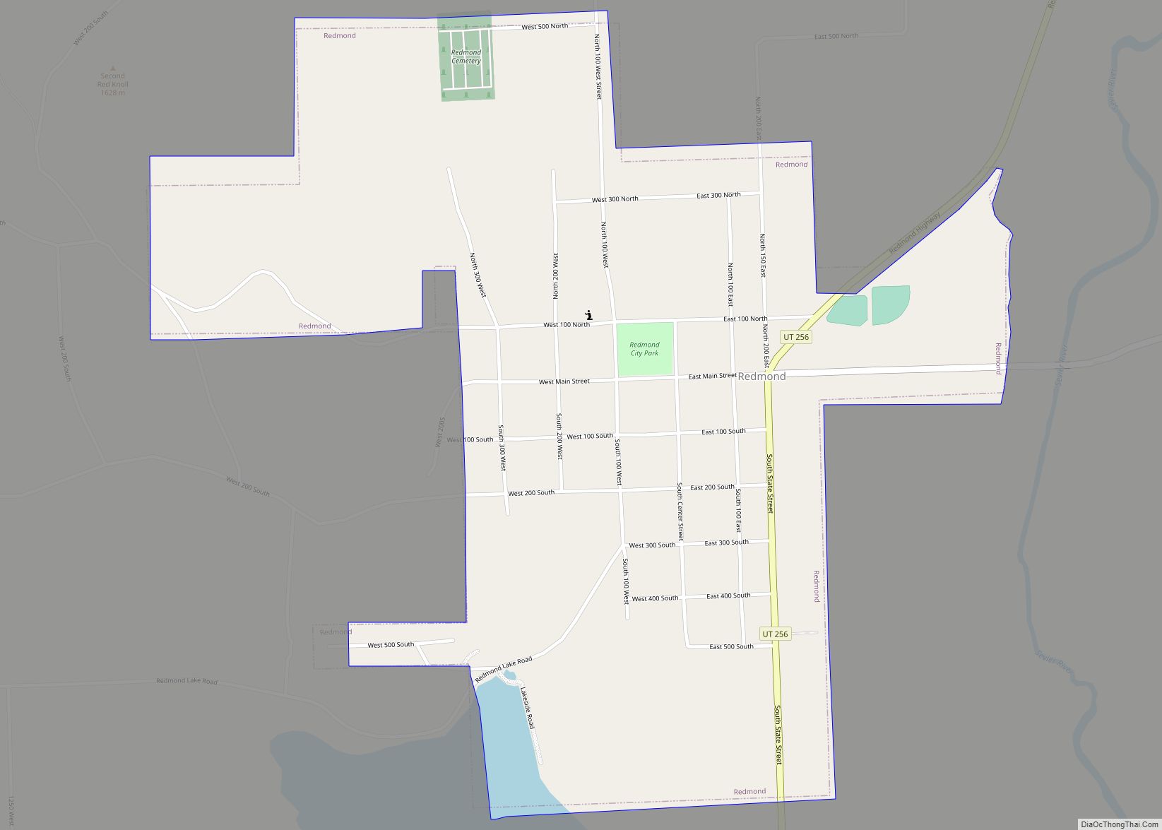
Online Interactive Map
Click on ![]() to view map in "full screen" mode.
to view map in "full screen" mode.
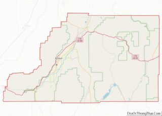
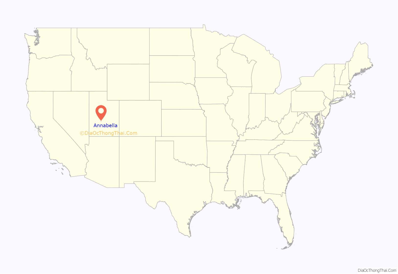
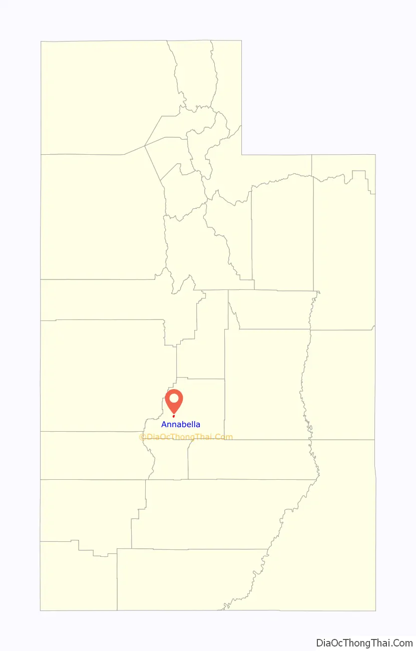
Annabella location map. Where is Annabella town?
History
The first two families to settle Omni Point in 1871 were Henry Dalton, a member of the Mormon Battalion, and Joseph Powell. Joseph Powell is undocumented and has been copied through time. The first name given to the settlement was Omni Point, because Richfield was called Omni. The “Point” was a high rise in the terrain, five miles directly south of Richfield. The town of Annabella was settled shortly after that, three miles to the North East of Omni Point by John Gleave and Edward Killick Roberts, along two creeks, which were named Cottonwood Creek and Annabella Springs. The town name was “Annabella”, after two of the first women who settled there: Ann S. Roberts and Isabella Dalton. Isabella Dalton lived at Omni Point and died in 1873, two years after settlement. There is no memorial to her burial. She was likely buried at the Omni Point homestead. Henry Dalton moved his family shortly after that to Kanosh. Several married Daltons had settled and remained in Annabella.
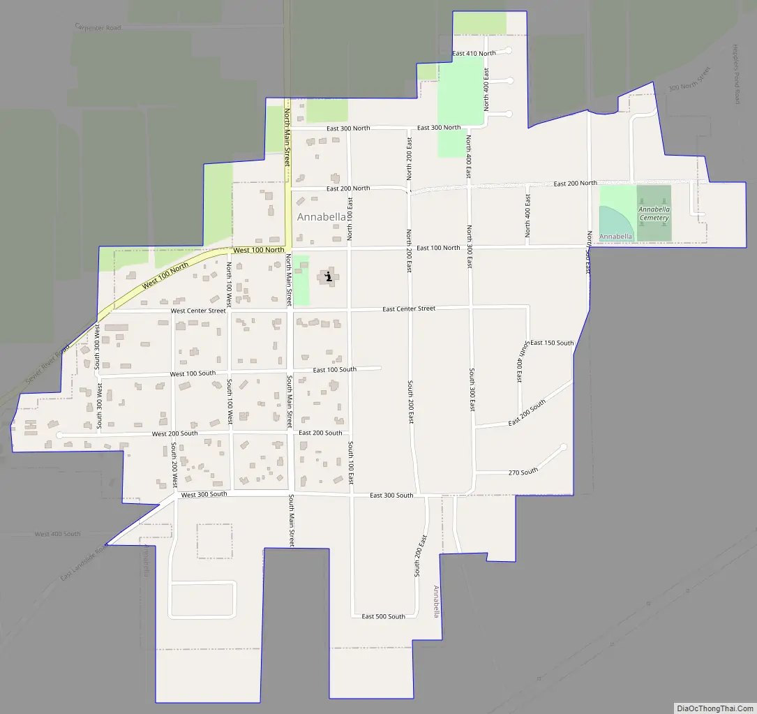
Annabella Road Map
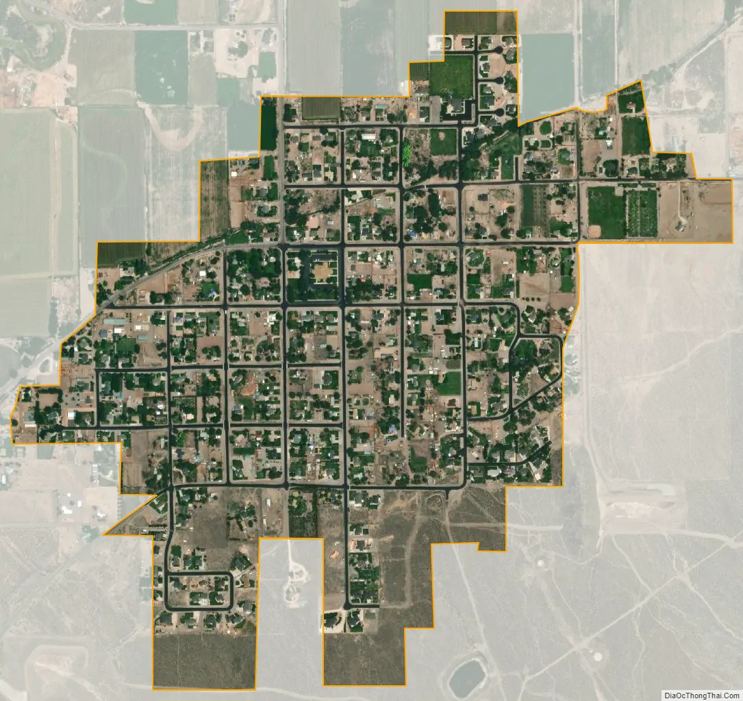
Annabella city Satellite Map
Geography
According to the United States Census Bureau, the town has a total area of 0.6 square miles (1.5 km), all land.
See also
Map of Utah State and its subdivision: Map of other states:- Alabama
- Alaska
- Arizona
- Arkansas
- California
- Colorado
- Connecticut
- Delaware
- District of Columbia
- Florida
- Georgia
- Hawaii
- Idaho
- Illinois
- Indiana
- Iowa
- Kansas
- Kentucky
- Louisiana
- Maine
- Maryland
- Massachusetts
- Michigan
- Minnesota
- Mississippi
- Missouri
- Montana
- Nebraska
- Nevada
- New Hampshire
- New Jersey
- New Mexico
- New York
- North Carolina
- North Dakota
- Ohio
- Oklahoma
- Oregon
- Pennsylvania
- Rhode Island
- South Carolina
- South Dakota
- Tennessee
- Texas
- Utah
- Vermont
- Virginia
- Washington
- West Virginia
- Wisconsin
- Wyoming