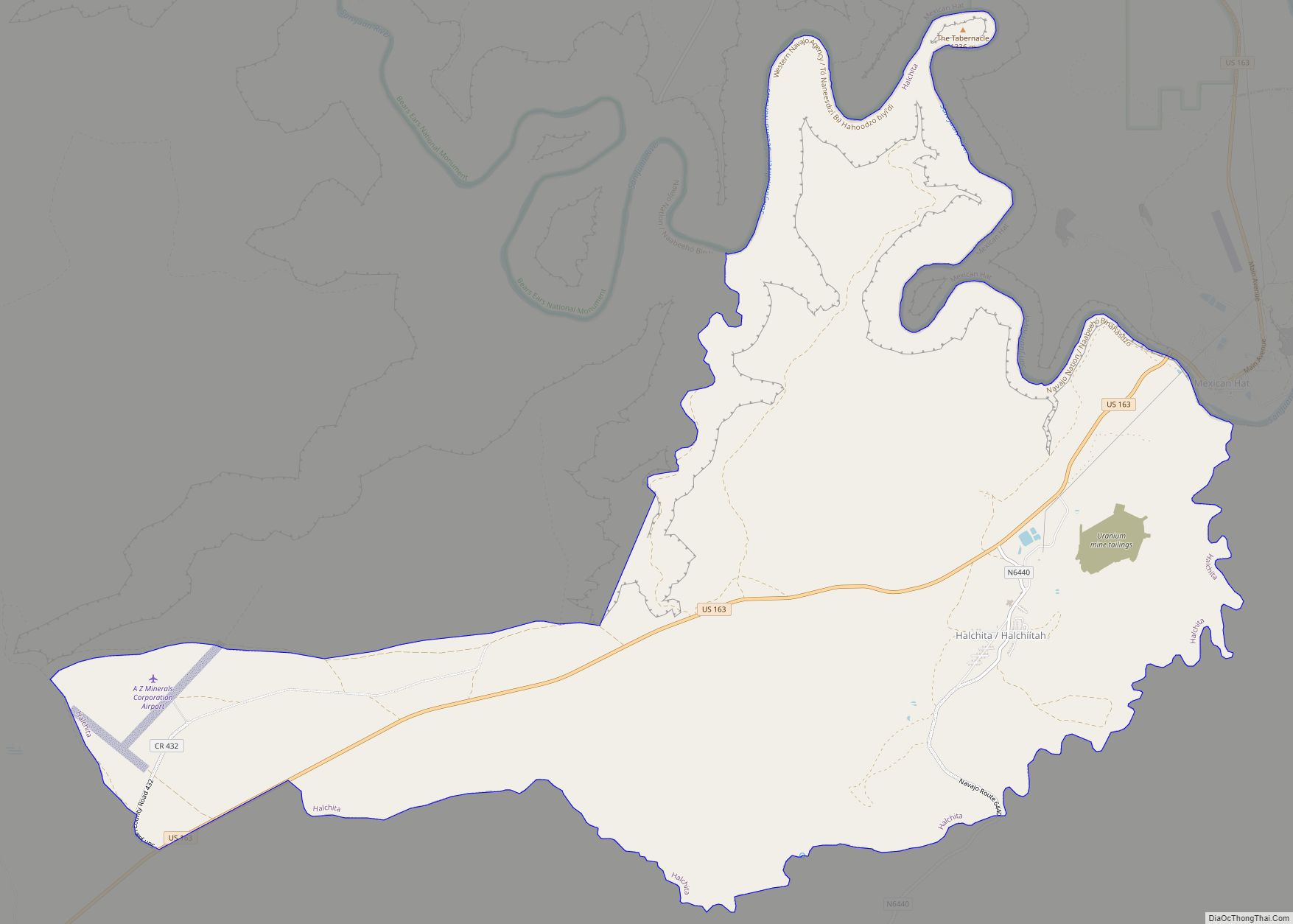
Aneth (Navajo: Tʼáá Bííchʼį́įdii) is a census-designated place (CDP) in San Juan County, Utah, United States. The population was 598 at the 2000 census. The origin of the name Aneth is obscure.
| Name: | Aneth CDP |
|---|---|
| LSAD Code: | 57 |
| LSAD Description: | CDP (suffix) |
| State: | Utah |
| County: | San Juan County |
| Elevation: | 4,511 ft (1,375 m) |
| Total Area: | 11.7 sq mi (30.4 km²) |
| Land Area: | 11.4 sq mi (29.5 km²) |
| Water Area: | 0.3 sq mi (0.8 km²) |
| Total Population: | 598 |
| Population Density: | 52.4/sq mi (20.2/km²) |
| ZIP code: | 84510 |
| Area code: | 435 |
| FIPS code: | 4901530 |
| GNISfeature ID: | 1437486 |
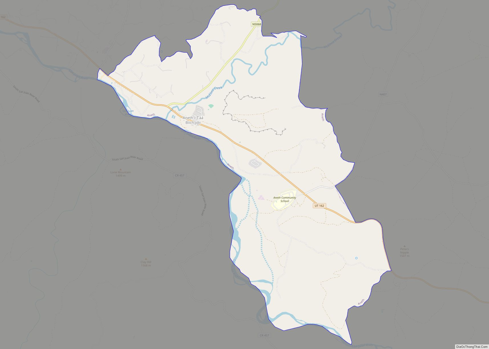
Online Interactive Map
Click on ![]() to view map in "full screen" mode.
to view map in "full screen" mode.
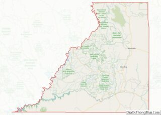
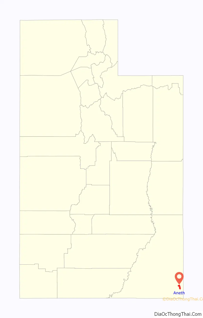
Aneth location map. Where is Aneth CDP?

History
The name Tʼáá Bííchʼį́įdii was the nickname of an Anglo storekeeper named J.B. Tanner who worked at a trading post in Aneth. The nickname means “just like a devil” in Navajo and was given to him by the local community due to his greedy business practices. He also worked in Yah-ta-hey, New Mexico, leading the Navajo to use the same name for both towns.
Aneth Road Map
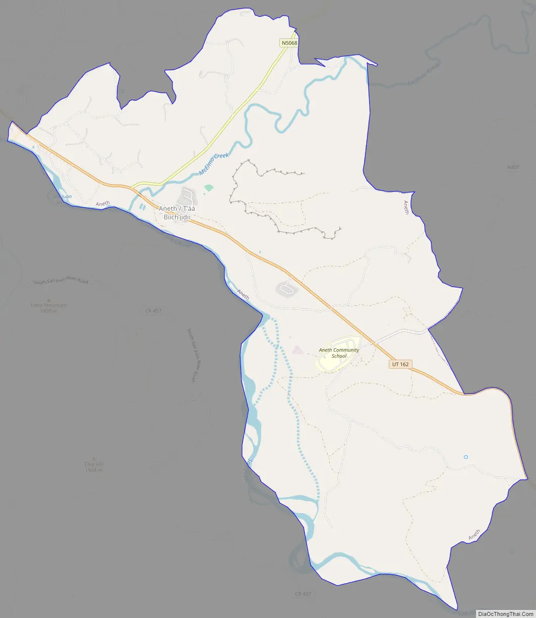
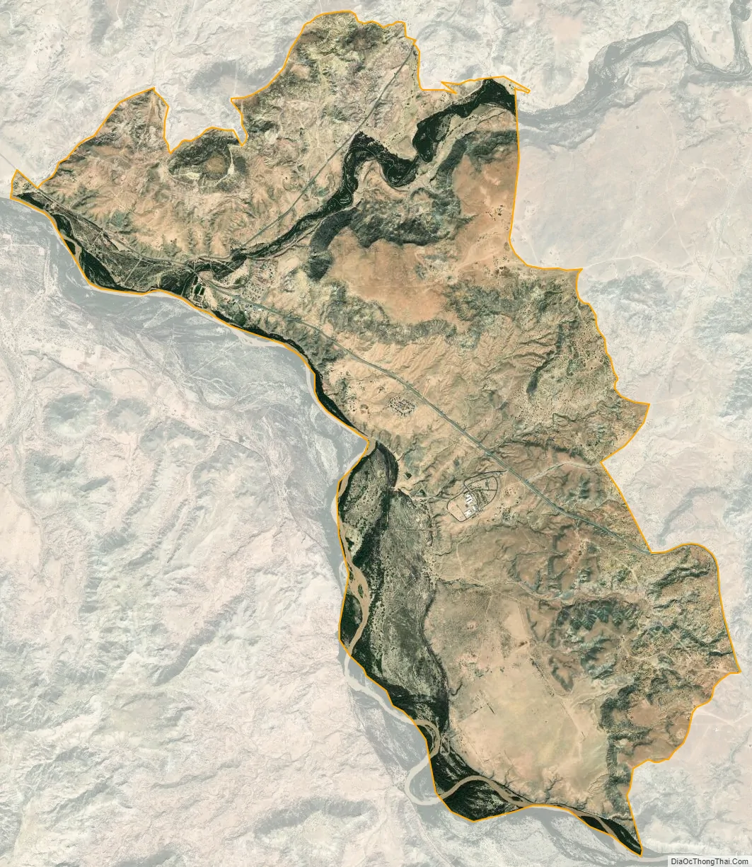
Aneth city Satellite Map
Geography
Aneth is located at 37°12′20″N 109°9′52″W / 37.20556°N 109.16444°W / 37.20556; -109.16444 (37.205595, -109.164379).
According to the United States Census Bureau, the CDP has a total area of 11.7 square miles (30.4 km), of which 11.4 square miles (29.5 km) is land and 0.3 square mile (0.8 km) (2.73%) is water.
See also
Map of Utah State and its subdivision: Map of other states:- Alabama
- Alaska
- Arizona
- Arkansas
- California
- Colorado
- Connecticut
- Delaware
- District of Columbia
- Florida
- Georgia
- Hawaii
- Idaho
- Illinois
- Indiana
- Iowa
- Kansas
- Kentucky
- Louisiana
- Maine
- Maryland
- Massachusetts
- Michigan
- Minnesota
- Mississippi
- Missouri
- Montana
- Nebraska
- Nevada
- New Hampshire
- New Jersey
- New Mexico
- New York
- North Carolina
- North Dakota
- Ohio
- Oklahoma
- Oregon
- Pennsylvania
- Rhode Island
- South Carolina
- South Dakota
- Tennessee
- Texas
- Utah
- Vermont
- Virginia
- Washington
- West Virginia
- Wisconsin
- Wyoming