Apple Valley is a town in Washington County, Utah, United States, located 12 miles (19 km) east of Hurricane along SR-59. The population was 701 at the 2010 census.
Apple Valley was incorporated on October 15, 2004, and a 2007 population estimate by the US Census Bureau placed its population at 427. In 2006, some town residents signed a petition calling for disincorporation, saying its incorporation was premature. They obtained enough signatures to call for a vote of dis-incorporation, but the attempt was unsuccessful. Another dis-incorporation vote took place on June 19, 2012, but was also unsuccessful.
| Name: | Apple Valley town |
|---|---|
| LSAD Code: | 43 |
| LSAD Description: | town (suffix) |
| State: | Utah |
| County: | Washington County |
| Incorporated: | October 15, 2004 |
| Elevation: | 4,961 ft (1,512 m) |
| Total Area: | 39.74 sq mi (102.93 km²) |
| Land Area: | 39.74 sq mi (102.93 km²) |
| Water Area: | 0.00 sq mi (0.00 km²) |
| Total Population: | 701 |
| Population Density: | 21.24/sq mi (8.20/km²) |
| ZIP code: | 84737 |
| Area code: | 435 |
| FIPS code: | 4901905 |
| GNISfeature ID: | 2412373 |
| Website: | www.applevalleyut.org |
Online Interactive Map
Click on ![]() to view map in "full screen" mode.
to view map in "full screen" mode.
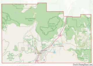
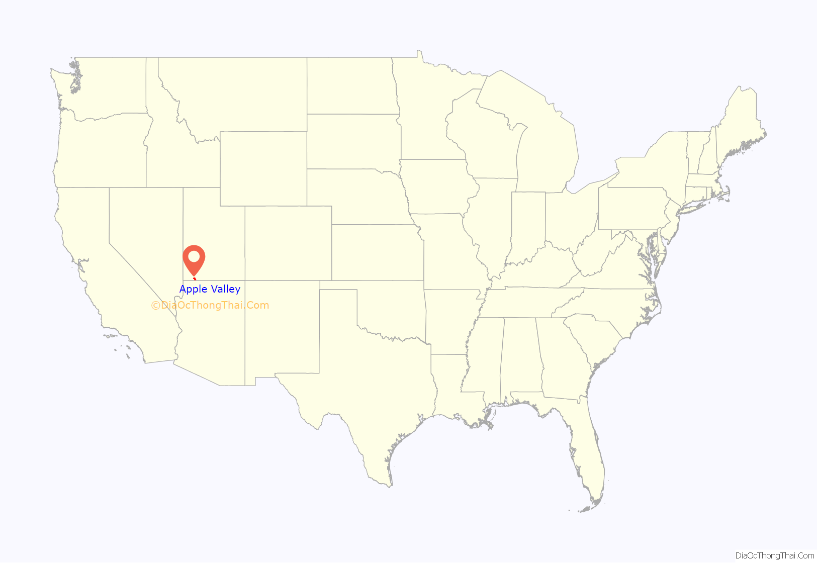
Apple Valley location map. Where is Apple Valley town?

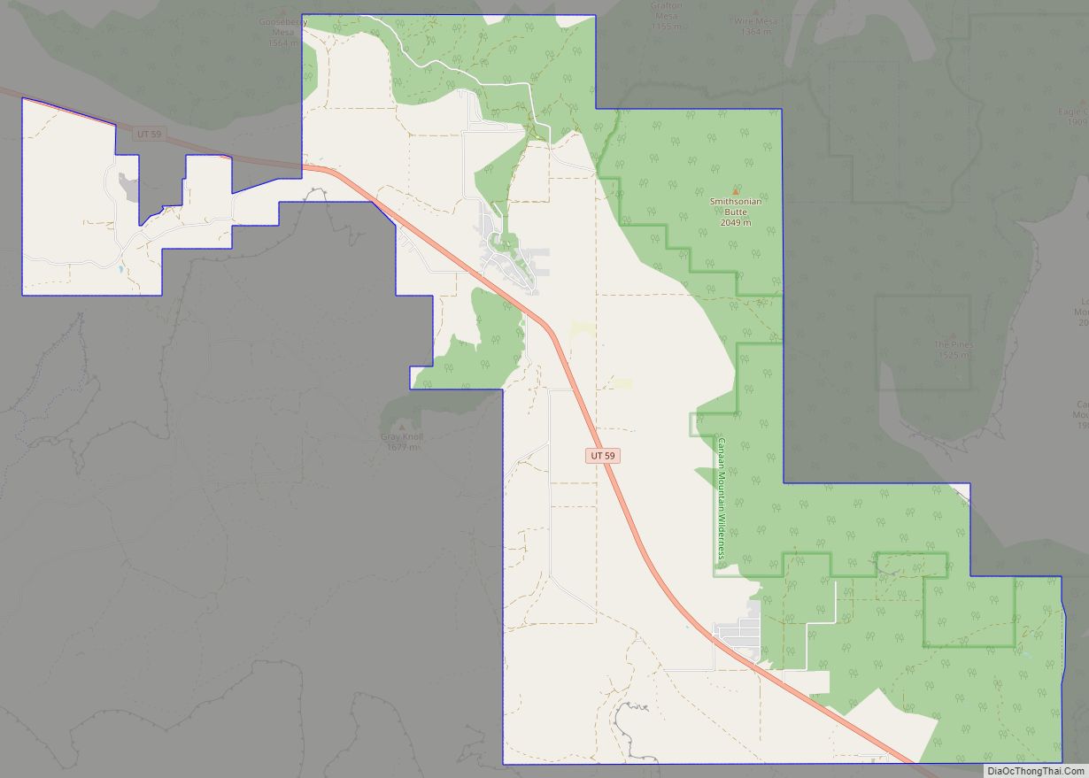
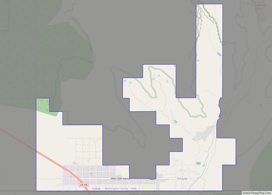
Apple Valley Road Map
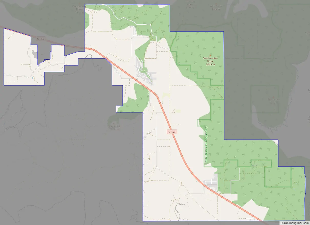
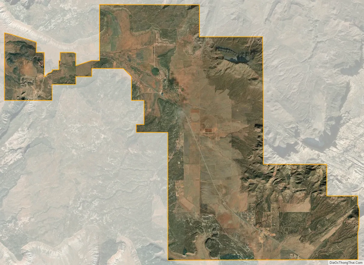
Apple Valley city Satellite Map
See also
Map of Utah State and its subdivision: Map of other states:- Alabama
- Alaska
- Arizona
- Arkansas
- California
- Colorado
- Connecticut
- Delaware
- District of Columbia
- Florida
- Georgia
- Hawaii
- Idaho
- Illinois
- Indiana
- Iowa
- Kansas
- Kentucky
- Louisiana
- Maine
- Maryland
- Massachusetts
- Michigan
- Minnesota
- Mississippi
- Missouri
- Montana
- Nebraska
- Nevada
- New Hampshire
- New Jersey
- New Mexico
- New York
- North Carolina
- North Dakota
- Ohio
- Oklahoma
- Oregon
- Pennsylvania
- Rhode Island
- South Carolina
- South Dakota
- Tennessee
- Texas
- Utah
- Vermont
- Virginia
- Washington
- West Virginia
- Wisconsin
- Wyoming