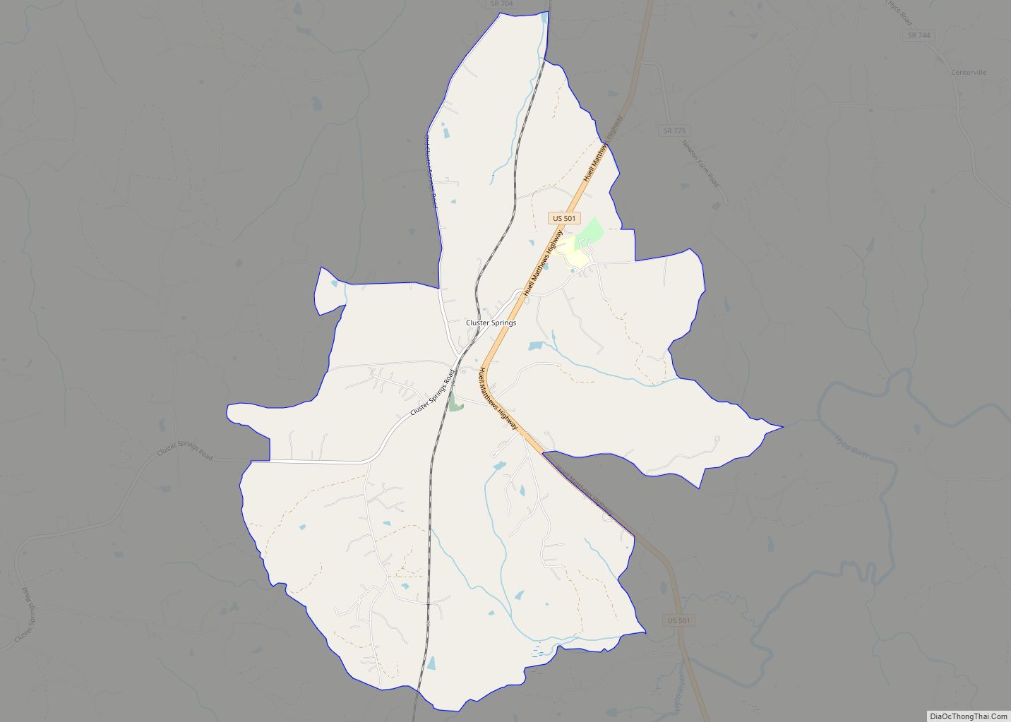
Cluster Springs is an unincorporated community and census-designated place (CDP) in Halifax County, Virginia, United States. The population as of the 2010 census was 811. Cluster Springs CDP overview: Name: Cluster Springs CDP LSAD Code: 57 LSAD Description: CDP (suffix) State: Virginia County: Halifax County Elevation: 495 ft (151 m) Total Area: 8.6 sq mi (22.3 km²) Land Area: 8.6 sq mi ... Read more
Map of US Cities and Places
Cloverdale is a census-designated place (CDP) in southern Botetourt County, Virginia, United States. The population was 3,410 at the 2020 census. The community is located along State Route 654. It is part of the Roanoke Metropolitan Statistical Area. Cloverdale CDP overview: Name: Cloverdale CDP LSAD Code: 57 LSAD Description: CDP (suffix) State: Virginia County: Botetourt ... Read more
Clover is an unincorporated community and census-designated place (CDP) in rural Halifax County, Virginia, United States. The population as of the 2010 census was 438. Clover was an incorporated town from 1895 until 1998, when it reverted to unincorporated status. Clover was the site of a Rosenwald school, built around 1921 or 1922, with a ... Read more
Clintwood is a town in Dickenson County, Virginia, United States. The population was 1,414 at the 2010 census, with an estimated population of 1,304 in 2018. It is the county seat of Dickenson County. Although originally called “Holly Creek” after a small stream that runs through the town, it was later named “Clintwood” after Major ... Read more
Clinchport is a town in Scott County, Virginia, United States. The population was 64 at the 2020 census. Clinchport is the least-populated municipality in Virginia. It is part of the Kingsport–Bristol (TN)–Bristol (VA) Metropolitan Statistical Area, which is a component of the Johnson City–Kingsport–Bristol, TN-VA Combined Statistical Area – commonly known as the “Tri-Cities” region. ... Read more
Clinchco is a town in Dickenson County, Virginia, United States. The town, formerly known as Moss, was named for both the Clinchfield Railroad and the Clinchfield Coal Corporation. The population was 337 at the 2010 census, down from 424 at the 2000 census. The Clinchco post office was established in 1917. Clinchco town overview: Name: ... Read more
Columbia CDP overview: Name: Columbia CDP LSAD Code: 57 LSAD Description: CDP (suffix) State: Virginia County: Fluvanna County FIPS code: 5118624 Online Interactive Map Columbia online map. Source: Basemap layers from Google Map, Open Street Map (OSM), Arcgisonline, Wmflabs. Boundary Data from Database of Global Administrative Areas. Columbia location map. Where is Columbia CDP? Columbia ... Read more
Culpeper (formerly Culpeper Courthouse, earlier Fairfax) is an incorporated town in Culpeper County, Virginia, United States. The population was 20,062 at the 2020 census, up from 16,379 at the 2010 census. It is the county seat of Culpeper County. Culpeper town overview: Name: Culpeper town LSAD Code: 43 LSAD Description: town (suffix) State: Virginia County: ... Read more
Crozet /ˌkroʊˈzeɪ/ is a census-designated place (CDP) in Albemarle County in the Commonwealth of Virginia, United States. It sits along the I-64 corridor, about 12 miles (19 km) west of Charlottesville and 21 miles (34 km) east of Staunton. Originally called “Wayland’s Crossing,” it was renamed in 1870 in honor of Colonel Claudius Crozet, the French-born civil ... Read more
Crewe is a town in Nottoway County, Virginia, United States. The population was 2,326 at the 2010 census. Crewe town overview: Name: Crewe town LSAD Code: 43 LSAD Description: town (suffix) State: Virginia County: Nottoway County Elevation: 531 ft (162 m) Total Area: 2.02 sq mi (5.22 km²) Land Area: 2.01 sq mi (5.22 km²) Water Area: 0.00 sq mi (0.01 km²) Total Population: 2,326 Population ... Read more
Courtland is an incorporated town in Southampton County, Virginia, United States. It is the county seat of Southampton County. Courtland town overview: Name: Courtland town LSAD Code: 43 LSAD Description: town (suffix) State: Virginia County: Southampton County Elevation: 23 ft (7 m) Total Area: 0.92 sq mi (2.37 km²) Land Area: 0.92 sq mi (2.37 km²) Water Area: 0.00 sq mi (0.00 km²) Total Population: 1,679 ... Read more
Countryside CDP overview: Name: Countryside CDP LSAD Code: 57 LSAD Description: CDP (suffix) State: Virginia County: Loudoun County FIPS code: 5119560 Online Interactive Map Countryside online map. Source: Basemap layers from Google Map, Open Street Map (OSM), Arcgisonline, Wmflabs. Boundary Data from Database of Global Administrative Areas. Countryside location map. Where is Countryside CDP? Countryside ... Read more