Clintwood is a town in Dickenson County, Virginia, United States. The population was 1,414 at the 2010 census, with an estimated population of 1,304 in 2018. It is the county seat of Dickenson County.
Although originally called “Holly Creek” after a small stream that runs through the town, it was later named “Clintwood” after Major Henry Clinton Wood, a Confederate officer in the 37th Virginia Infantry Regiment.
| Name: | Clintwood town |
|---|---|
| LSAD Code: | 43 |
| LSAD Description: | town (suffix) |
| State: | Virginia |
| County: | Dickenson County |
| Elevation: | 1,755 ft (535 m) |
| Total Area: | 2.08 sq mi (5.39 km²) |
| Land Area: | 2.08 sq mi (5.39 km²) |
| Water Area: | 0.00 sq mi (0.01 km²) |
| Total Population: | 1,414 |
| Population Density: | 617.31/sq mi (238.37/km²) |
| ZIP code: | 24228 |
| Area code: | 276 |
| FIPS code: | 5117552 |
| GNISfeature ID: | 1498468 |
| Website: | www.townofclintwood.com |
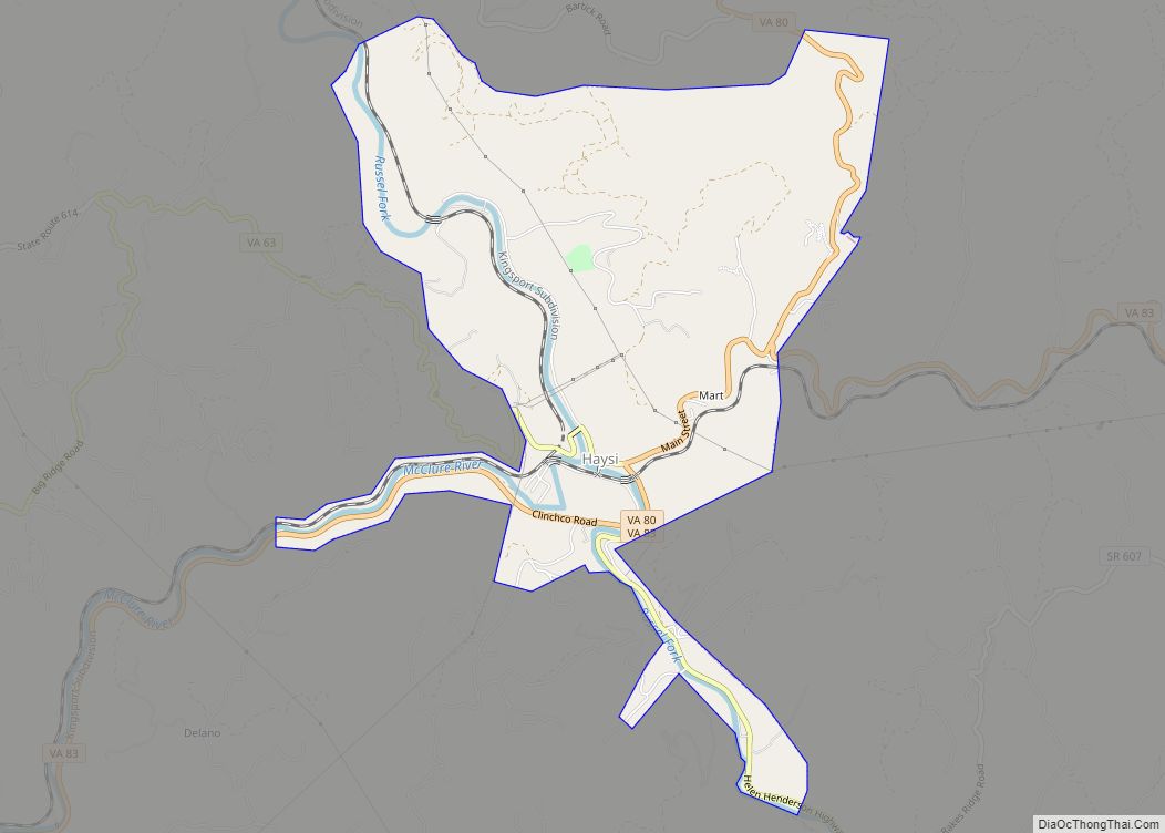
Online Interactive Map
Click on ![]() to view map in "full screen" mode.
to view map in "full screen" mode.
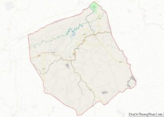
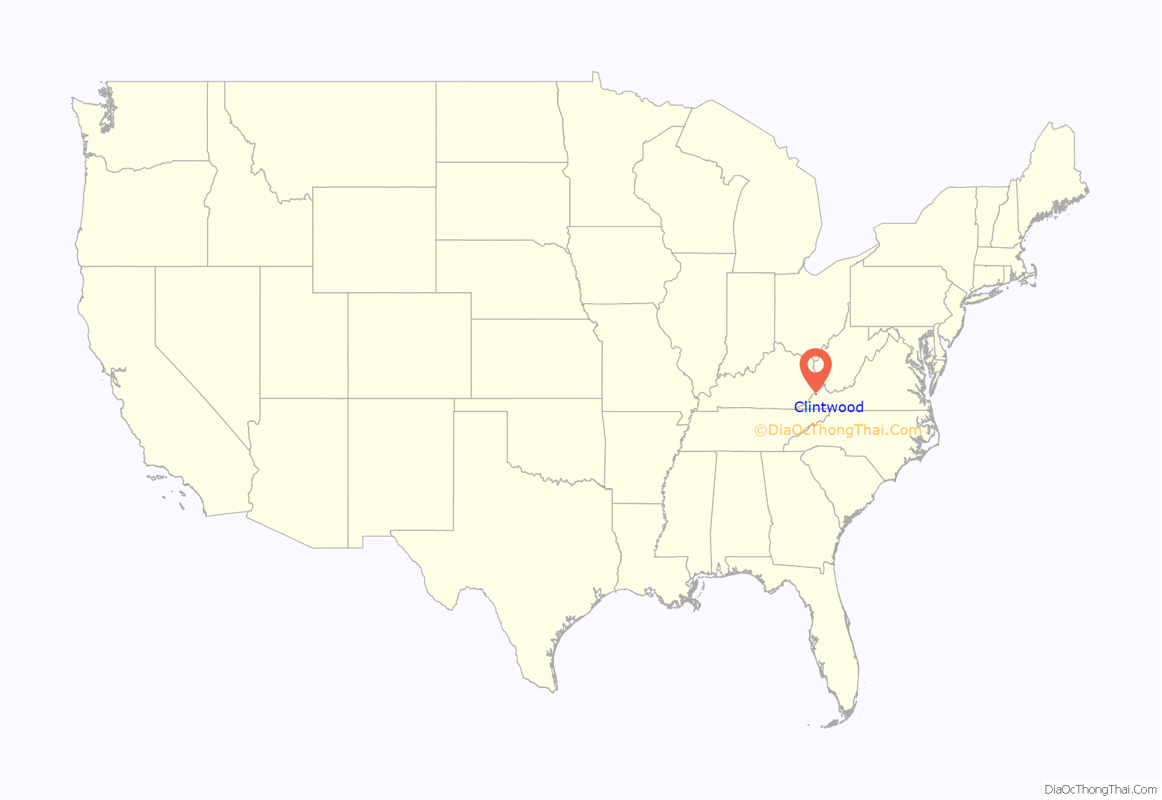
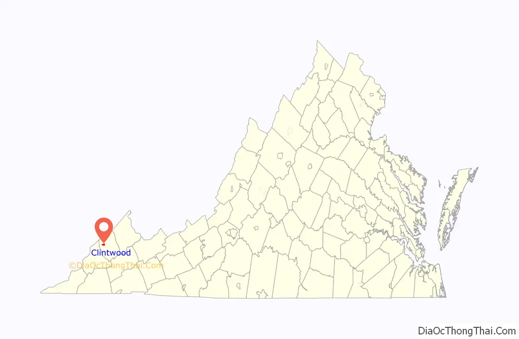
Clintwood location map. Where is Clintwood town?
History
Clintwood, Virginia was founded in 1829 by John “Holly Creek John” Mullins. In June 1948, the town of Clintwood elected an all-female town council for the period from 1948 to 1950. The “Petticoat Government”, as it was nicknamed, implemented change in many areas, including cleanup of the town, eliminating parking problems, organizing a systematic garbage disposal system, eliminating several traffic hazards, organizing the town’s fire department, and purchasing a fire truck. The “Petticoat Government” received the attention of Lady Astor, a member of the British Parliament who expressed a desire to visit Clintwood to see how the experiment was going. The town was also featured in broadcasts by the Voice of America.
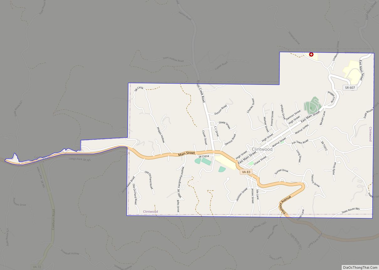
Clintwood Road Map
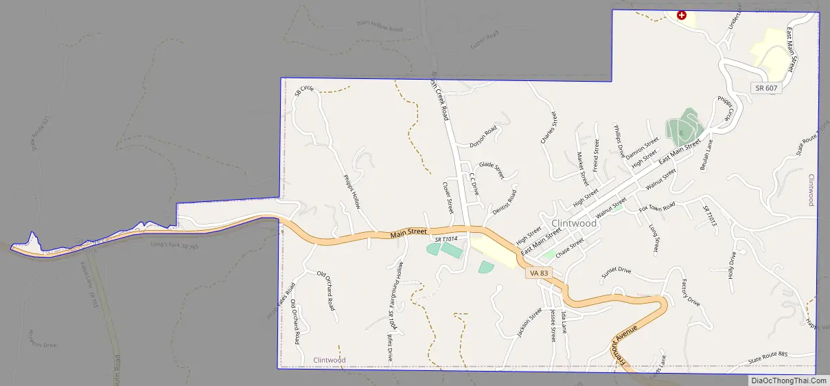
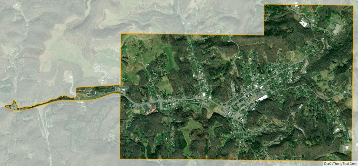
Clintwood city Satellite Map
Geography
Clintwood is located in northwestern Dickenson County at 37°9′0″N 82°27′24″W / 37.15000°N 82.45667°W / 37.15000; -82.45667 (37.150054, −82.456698). Virginia State Route 83 passes through the town, leading east 11 miles (18 km) to Clinchco and west 9 miles (14 km) to Pound.
According to the United States Census Bureau, Clintwood has a total area of 1.9 square miles (4.9 km), all of it land.
Climate
Owing to its altitude, Clintwood has an oceanic climate (Köppen climate classification Cfb).
See also
Map of Virginia State and its subdivision:- Accomack
- Albemarle
- Alexandria
- Alleghany
- Amelia
- Amherst
- Appomattox
- Arlington
- Augusta
- Bath
- Bedford
- Bedford City
- Bland
- Botetourt
- Bristol
- Brunswick
- Buchanan
- Buckingham
- Buena Vista
- Campbell
- Caroline
- Carroll
- Charles City
- Charlotte
- Charlottesville
- Chesapeake
- Chesterfield
- Clarke
- Clifton Forge City
- Colonial Heights
- Covington
- Craig
- Culpeper
- Cumberland
- Danville
- Dickenson
- Dinwiddie
- Emporia
- Essex
- Fairfax
- Fairfax City
- Falls Church
- Fauquier
- Floyd
- Fluvanna
- Franklin
- Frederick
- Fredericksburg
- Galax
- Giles
- Gloucester
- Goochland
- Grayson
- Greene
- Greensville
- Halifax
- Hampton
- Hanover
- Harrisonburg
- Henrico
- Henry
- Highland
- Hopewell
- Isle of Wight
- James City
- King and Queen
- King George
- King William
- Lancaster
- Lee
- Lexington
- Loudoun
- Louisa
- Lunenburg
- Lynchburg
- Madison
- Manassas
- Manassas Park
- Martinsville
- Mathews
- Mecklenburg
- Middlesex
- Montgomery
- Nelson
- New Kent
- Newport News
- Norfolk
- Northampton
- Northumberland
- Norton
- Nottoway
- Orange
- Page
- Patrick
- Petersburg
- Pittsylvania
- Poquoson
- Portsmouth
- Powhatan
- Prince Edward
- Prince George
- Prince William
- Pulaski
- Radford
- Rappahannock
- Richmond
- Roanoke
- Roanoke City
- Rockbridge
- Rockingham
- Russell
- Salem
- Scott
- Shenandoah
- Smyth
- Southampton
- Spotsylvania
- Stafford
- Staunton
- Suffolk
- Surry
- Sussex
- Tazewell
- Virginia Beach
- Warren
- Washington
- Waynesboro
- Westmoreland
- Williamsburg
- Winchester
- Wise
- Wythe
- York
- Alabama
- Alaska
- Arizona
- Arkansas
- California
- Colorado
- Connecticut
- Delaware
- District of Columbia
- Florida
- Georgia
- Hawaii
- Idaho
- Illinois
- Indiana
- Iowa
- Kansas
- Kentucky
- Louisiana
- Maine
- Maryland
- Massachusetts
- Michigan
- Minnesota
- Mississippi
- Missouri
- Montana
- Nebraska
- Nevada
- New Hampshire
- New Jersey
- New Mexico
- New York
- North Carolina
- North Dakota
- Ohio
- Oklahoma
- Oregon
- Pennsylvania
- Rhode Island
- South Carolina
- South Dakota
- Tennessee
- Texas
- Utah
- Vermont
- Virginia
- Washington
- West Virginia
- Wisconsin
- Wyoming