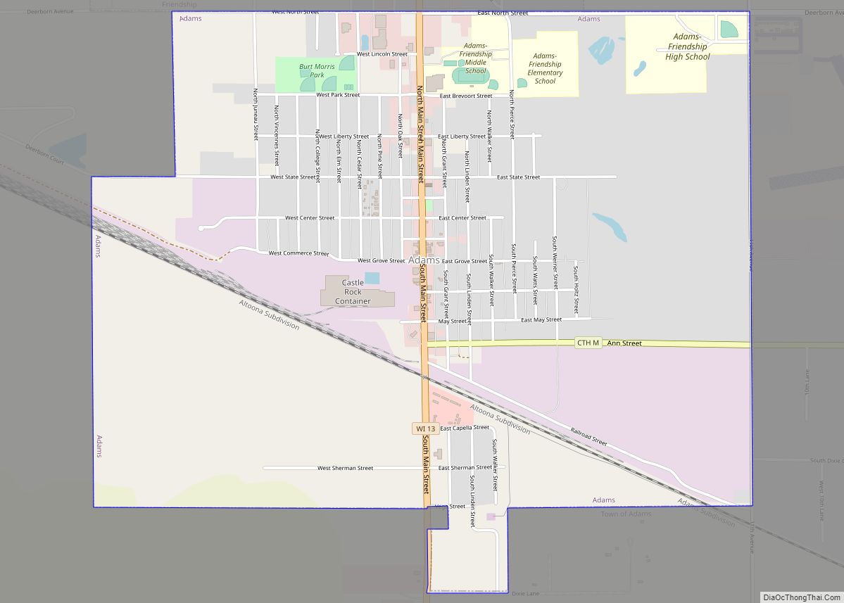
Map of Adams city, Wisconsin
Adams is a city in Adams County in the U.S. state of Wisconsin. The population was 1,967 at the 2010 census. The city is located within the Town of Adams. Adams city overview: Name: Adams city LSAD Code: 25 LSAD Description: city (suffix) State: Wisconsin County: Adams County Elevation: 965 ft (294 m) Total Area: 2.95 sq mi (7.63 km²) ... Read more
Map of Adams city, Wisconsin
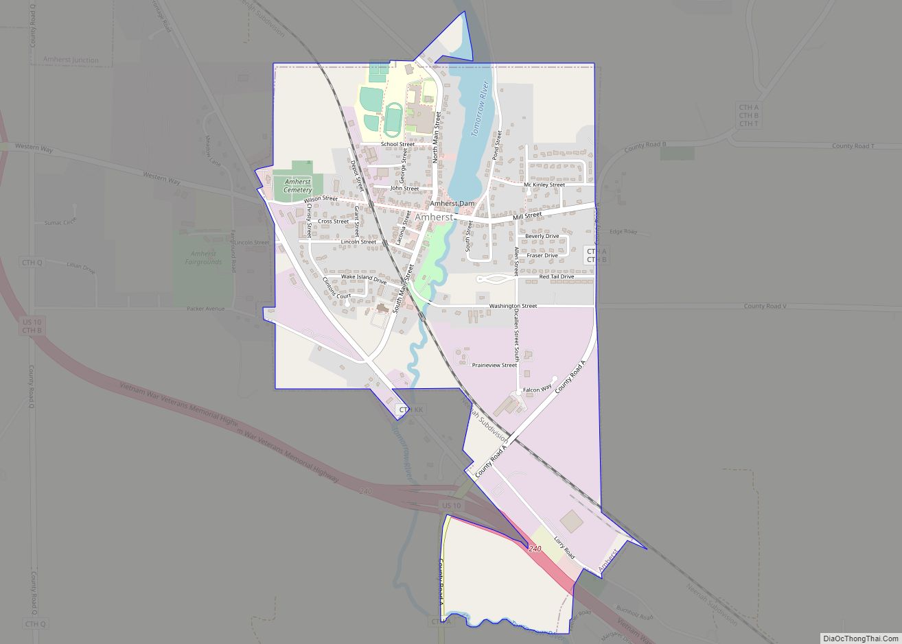
Map of Amherst village, Wisconsin
Amherst is a town in Portage County, Wisconsin, United States. The population was 1,435 at the 2000 census. The ghost town of Lake Emily was located in the town. The Town of Amherst was established in 1851. Amherst village overview: Name: Amherst village LSAD Code: 47 LSAD Description: village (suffix) State: Wisconsin County: Portage County ... Read more
Map of Amherst village, Wisconsin
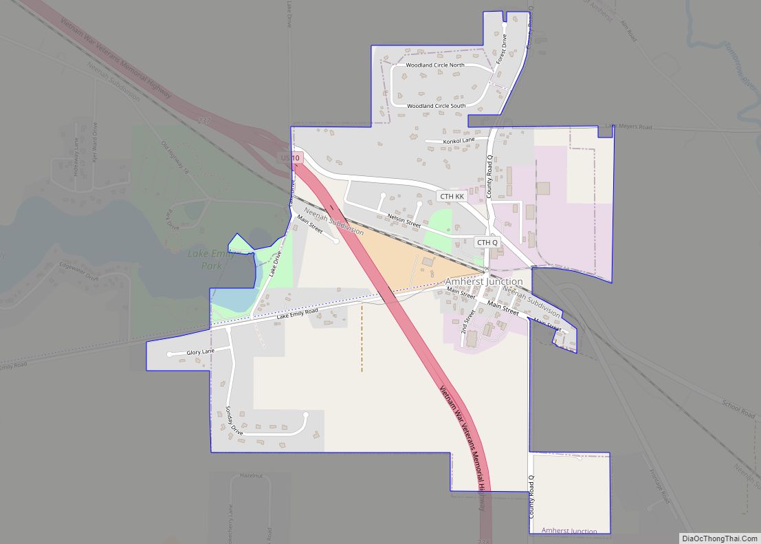
Map of Amherst Junction village
Amherst Junction is a village in Portage County, Wisconsin, United States. The population was 377 at the 2010 census. Amherst Junction village overview: Name: Amherst Junction village LSAD Code: 47 LSAD Description: village (suffix) State: Wisconsin County: Portage County Elevation: 1,109 ft (338 m) Total Area: 1.24 sq mi (3.22 km²) Land Area: 1.24 sq mi (3.20 km²) Water Area: 0.01 sq mi (0.02 km²) Total ... Read more
Map of Amherst Junction village
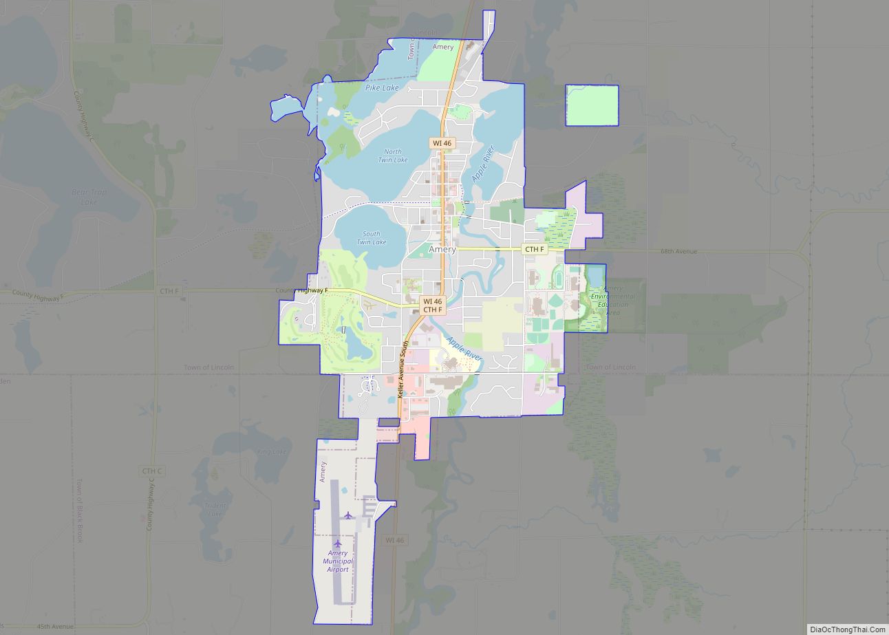
Map of Amery city
Amery is a city in Polk County, Wisconsin, United States, along the Apple River. It is a part of Wisconsin’s 7th congressional district. The population was 2,902 at the 2010 census. The city was named in honor of William Amery, a carpenter who held several local offices in the 1870s. Amery city overview: Name: Amery ... Read more
Map of Amery city
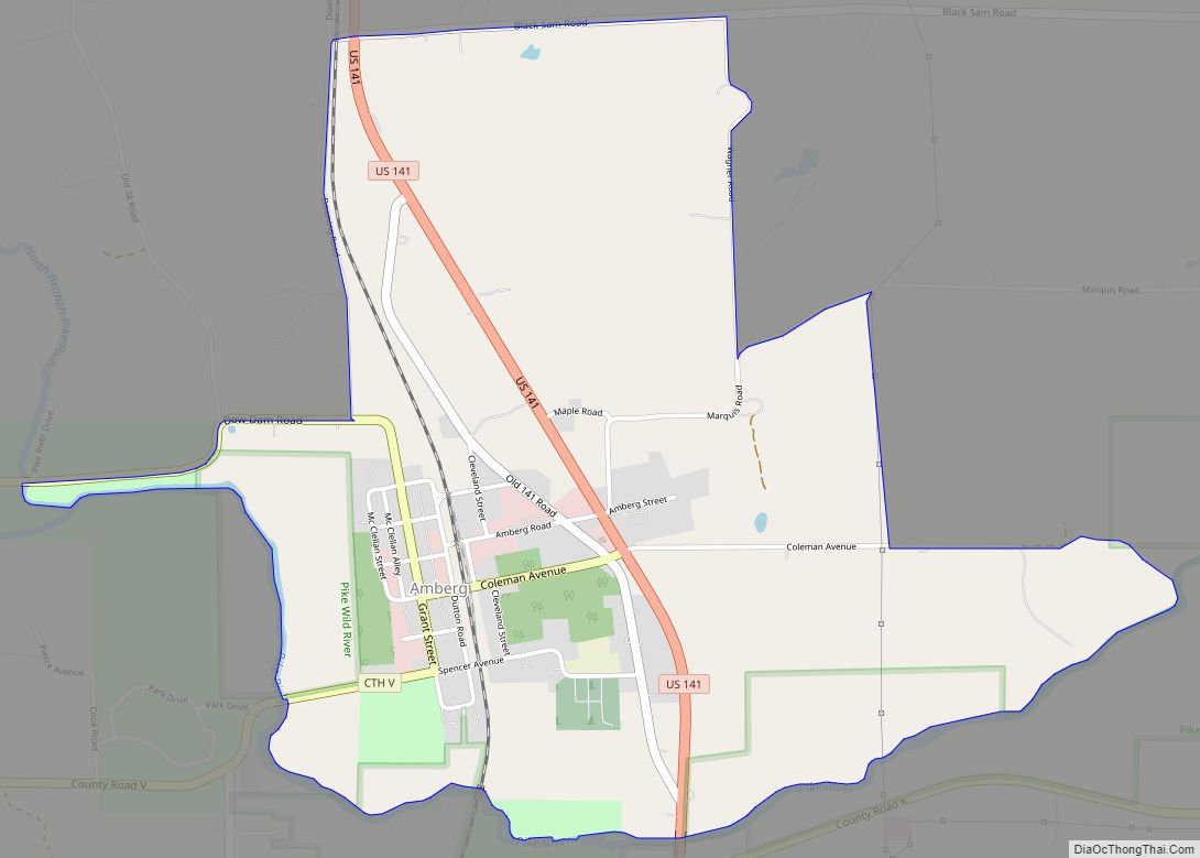
Map of Amberg CDP
Amberg is an unincorporated census-designated place in Marinette County, Wisconsin, United States, in the town of Amberg. It is located on U.S. Highway 141. As of the 2010 census, its population was 180. The Amberg Historical Society operates the Amberg Historical Museum Complex which consists of the historic town hall that is on the National ... Read more
Map of Amberg CDP
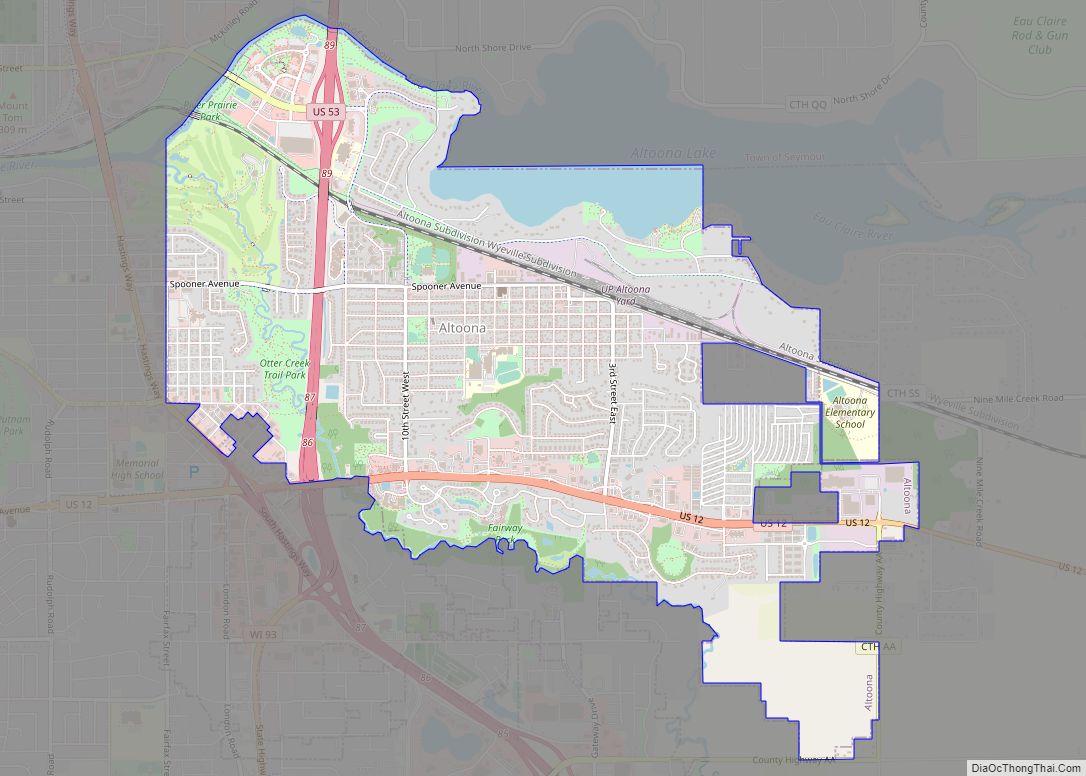
Map of Altoona city, Wisconsin
Altoona is a city in Eau Claire County, Wisconsin, United States. The population was 8,292 at the 2020 census with an estimated population in 2021 of 8,817. The city is a railroad terminal on the Union Pacific Railroad. Altoona city overview: Name: Altoona city LSAD Code: 25 LSAD Description: city (suffix) State: Wisconsin County: Eau ... Read more
Map of Altoona city, Wisconsin
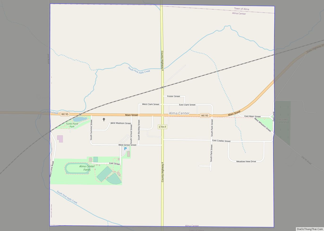
Map of Alma Center village
Alma Center is a village in Jackson County, Wisconsin, United States. The population was 503 at the 2010 census. The village is located within the Town of Alma. Alma Center village overview: Name: Alma Center village LSAD Code: 47 LSAD Description: village (suffix) State: Wisconsin County: Jackson County Elevation: 981 ft (299 m) Total Area: 1.00 sq mi (2.60 km²) ... Read more
Map of Alma Center village
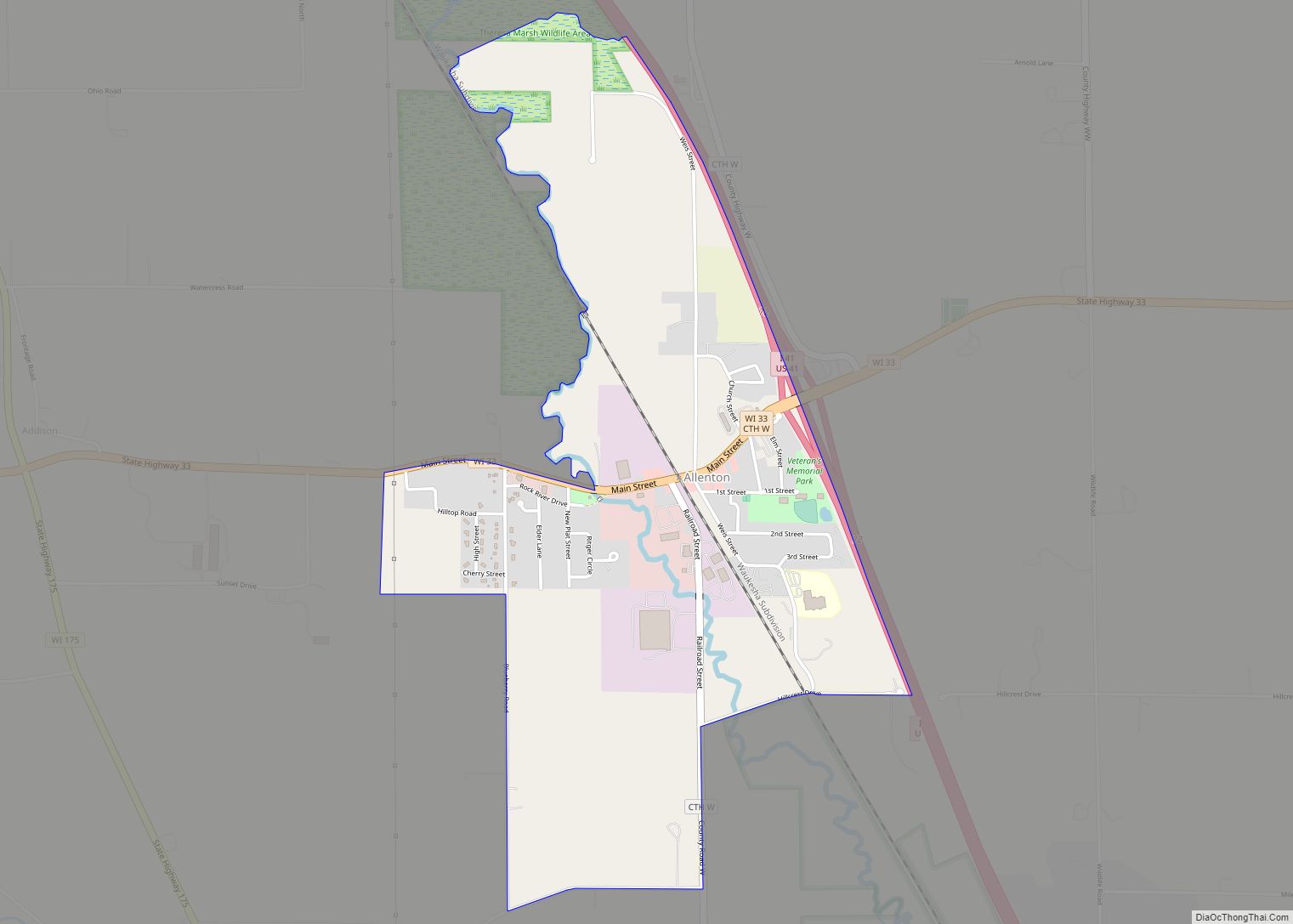
Map of Allenton CDP
Allenton, Wisconsin is an unincorporated census-designated place in the town of Addison, Wisconsin in Washington County, Wisconsin. It is located near the intersection of Wisconsin Highway 33 and Interstate 41. It is on a line of the Canadian National Railway, parent company of the Wisconsin Central Ltd. railroad company. Allenton has a post office with ... Read more
Map of Allenton CDP
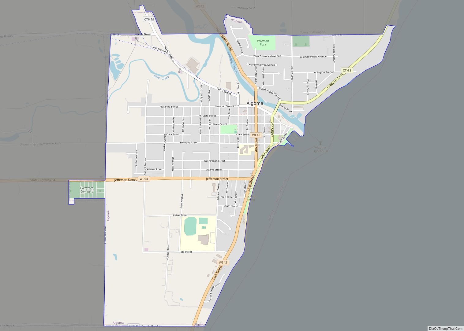
Map of Algoma city, Wisconsin
Algoma is a city in Kewaunee County in the U.S. state of Wisconsin. The population was 3,167 at the 2010 census. Algoma is part of the Green Bay Metropolitan Statistical Area. Algoma city overview: Name: Algoma city LSAD Code: 25 LSAD Description: city (suffix) State: Wisconsin County: Kewaunee County Elevation: 581 ft (177 m) Total Area: 2.50 sq mi ... Read more
Map of Algoma city, Wisconsin
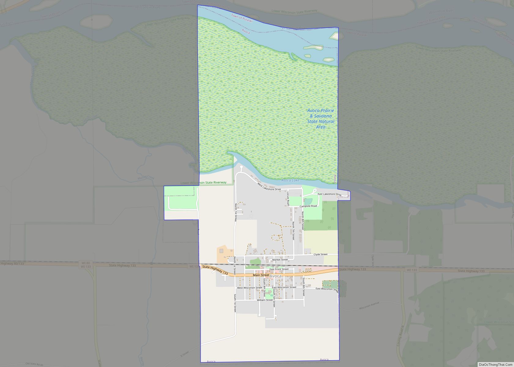
Map of Avoca village, Wisconsin
Avoca is a village in Iowa County, Wisconsin, United States. The population was 637 at the 2010 census. It is part of the Madison Metropolitan Statistical Area. It is named after Avoca in Ireland. Avoca village overview: Name: Avoca village LSAD Code: 47 LSAD Description: village (suffix) State: Wisconsin County: Iowa County Elevation: 699 ft (213 m) ... Read more
Map of Avoca village, Wisconsin
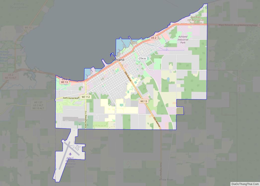
Map of Ashland city, Wisconsin
Ashland is a city in Ashland and Bayfield counties in the U.S. state of Wisconsin. It is the county seat of Ashland County. The city is a port on Lake Superior, near the head of Chequamegon Bay. The population was 7,908 at the 2020 census, all of whom resided in the Ashland County portion of ... Read more
Map of Ashland city, Wisconsin
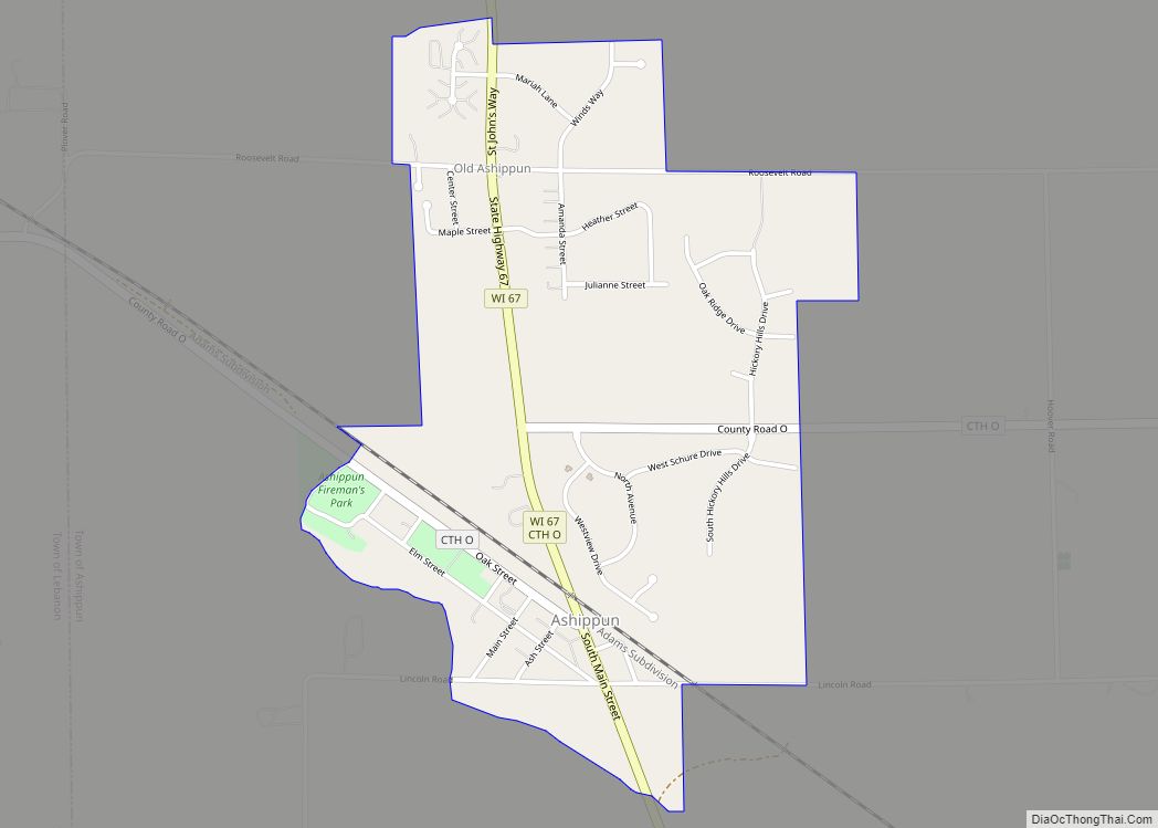
Map of Ashippun CDP
Ashippun is an unincorporated census-designated place located in the town of Ashippun, Dodge County, Wisconsin, United States. Ashippun is located on Wisconsin Highway 67 7 miles (11 km) south of Neosho. Ashippun has a post office with ZIP code 53003. At the 2020 census, its population was 1,166, more than triple the population of 333 in ... Read more
Map of Ashippun CDP