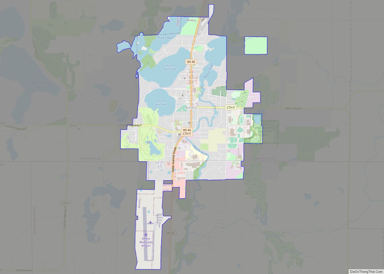
Amery is a city in Polk County, Wisconsin, United States, along the Apple River. It is a part of Wisconsin’s 7th congressional district. The population was 2,902 at the 2010 census. The city was named in honor of William Amery, a carpenter who held several local offices in the 1870s.
| Name: | Amery city |
|---|---|
| LSAD Code: | 25 |
| LSAD Description: | city (suffix) |
| State: | Wisconsin |
| County: | Polk County |
| Elevation: | 1,070 ft (326 m) |
| Total Area: | 3.84 sq mi (9.94 km²) |
| Land Area: | 3.10 sq mi (8.02 km²) |
| Water Area: | 0.74 sq mi (1.92 km²) |
| Total Population: | 2,962 |
| Population Density: | 907.98/sq mi (350.54/km²) |
| FIPS code: | 5501725 |
| GNISfeature ID: | 1560828 |
| Website: | http://www.amerywisconsin.org |
Online Interactive Map
Click on ![]() to view map in "full screen" mode.
to view map in "full screen" mode.
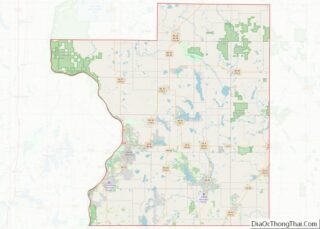
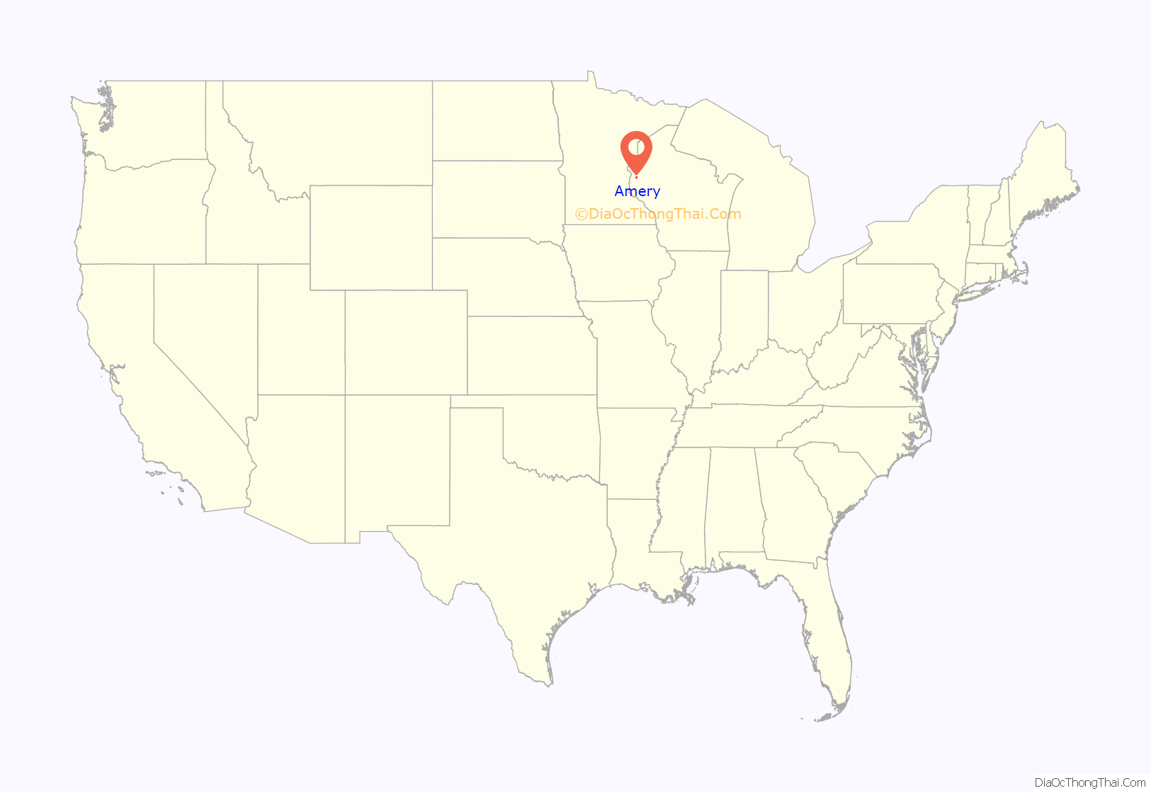
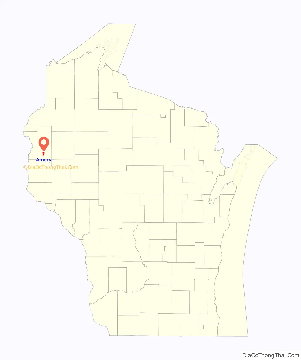
Amery location map. Where is Amery city?
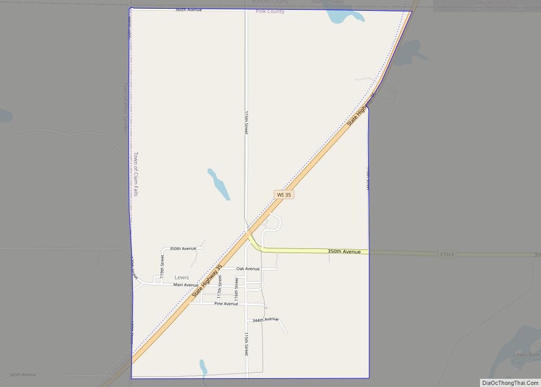
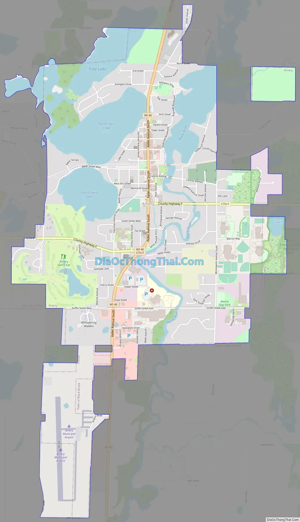
Amery Road Map
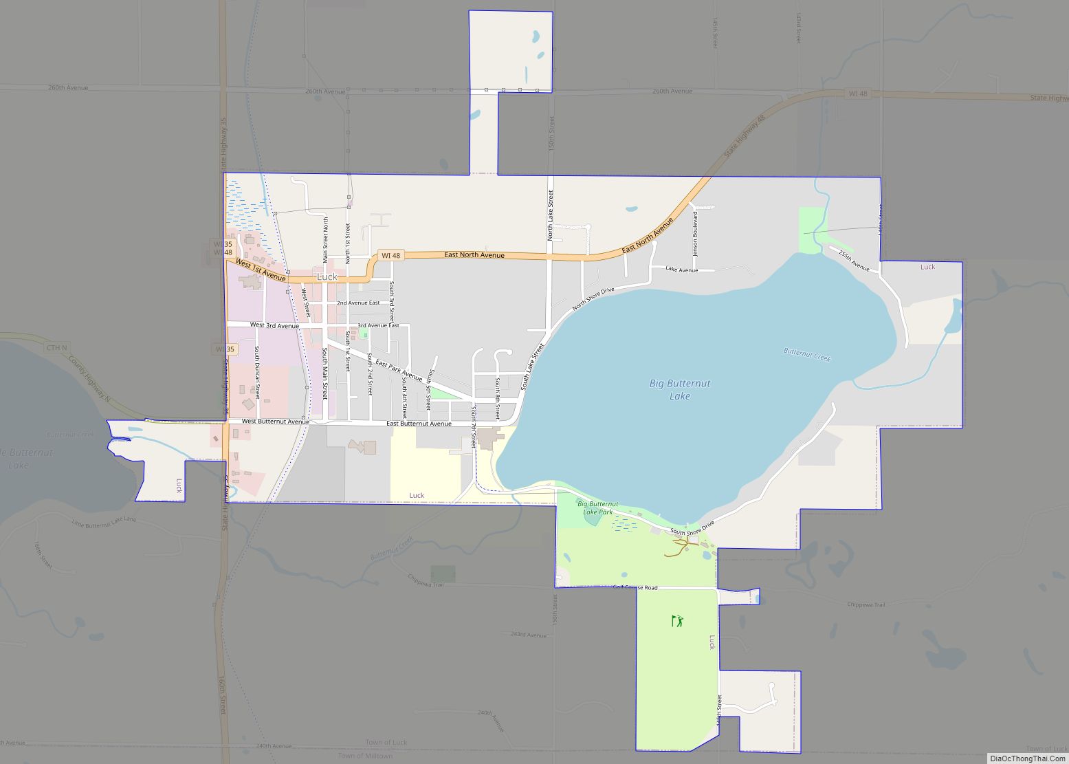
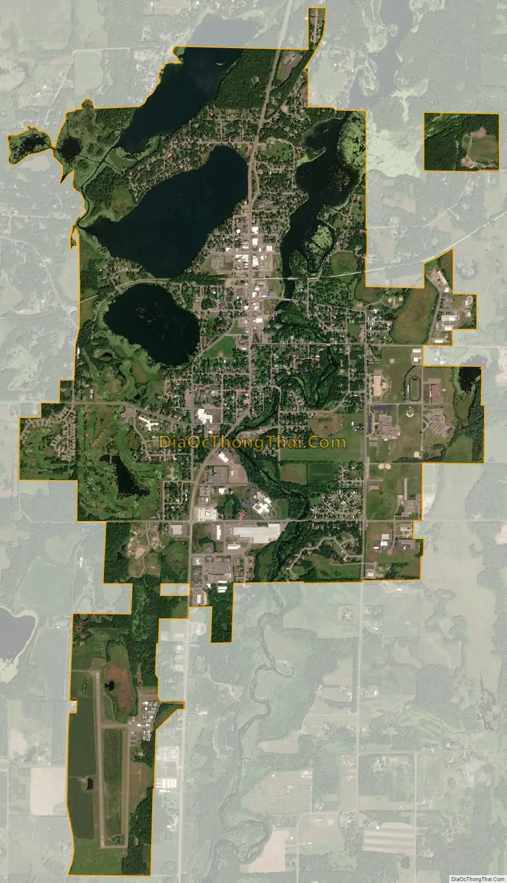
Amery city Satellite Map
Geography
Amery is located at 45°18′35″N 92°21′46″W / 45.30972°N 92.36278°W / 45.30972; -92.36278 (45.309747, -92.362782).
According to the United States Census Bureau, the city has a total area of 3.61 square miles (9.35 km), of which, 2.96 square miles (7.67 km) is land and 0.65 square miles (1.68 km) is water.
Wisconsin Highway 46 and Polk County Road F are the main routes in the community.
See also
Map of Wisconsin State and its subdivision:- Adams
- Ashland
- Barron
- Bayfield
- Brown
- Buffalo
- Burnett
- Calumet
- Chippewa
- Clark
- Columbia
- Crawford
- Dane
- Dodge
- Door
- Douglas
- Dunn
- Eau Claire
- Florence
- Fond du Lac
- Forest
- Grant
- Green
- Green Lake
- Iowa
- Iron
- Jackson
- Jefferson
- Juneau
- Kenosha
- Kewaunee
- La Crosse
- Lafayette
- Lake Michigan
- Lake Superior
- Langlade
- Lincoln
- Manitowoc
- Marathon
- Marinette
- Marquette
- Menominee
- Milwaukee
- Monroe
- Oconto
- Oneida
- Outagamie
- Ozaukee
- Pepin
- Pierce
- Polk
- Portage
- Price
- Racine
- Richland
- Rock
- Rusk
- Saint Croix
- Sauk
- Sawyer
- Shawano
- Sheboygan
- Taylor
- Trempealeau
- Vernon
- Vilas
- Walworth
- Washburn
- Washington
- Waukesha
- Waupaca
- Waushara
- Winnebago
- Wood
- Alabama
- Alaska
- Arizona
- Arkansas
- California
- Colorado
- Connecticut
- Delaware
- District of Columbia
- Florida
- Georgia
- Hawaii
- Idaho
- Illinois
- Indiana
- Iowa
- Kansas
- Kentucky
- Louisiana
- Maine
- Maryland
- Massachusetts
- Michigan
- Minnesota
- Mississippi
- Missouri
- Montana
- Nebraska
- Nevada
- New Hampshire
- New Jersey
- New Mexico
- New York
- North Carolina
- North Dakota
- Ohio
- Oklahoma
- Oregon
- Pennsylvania
- Rhode Island
- South Carolina
- South Dakota
- Tennessee
- Texas
- Utah
- Vermont
- Virginia
- Washington
- West Virginia
- Wisconsin
- Wyoming