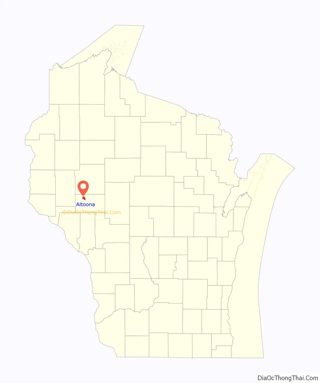
Altoona is a city in Eau Claire County, Wisconsin, United States. The population was 8,292 at the 2020 census with an estimated population in 2021 of 8,817. The city is a railroad terminal on the Union Pacific Railroad.
| Name: | Altoona city |
|---|---|
| LSAD Code: | 25 |
| LSAD Description: | city (suffix) |
| State: | Wisconsin |
| County: | Eau Claire County |
| Elevation: | 896 ft (273 m) |
| Total Area: | 4.98 sq mi (12.90 km²) |
| Land Area: | 4.73 sq mi (12.26 km²) |
| Water Area: | 0.25 sq mi (0.65 km²) |
| Total Population: | 8,292 |
| Population Density: | 1,662.79/sq mi (642.06/km²) |
| ZIP code: | 54720 |
| FIPS code: | 5501550 |
| GNISfeature ID: | 1560807 |
| Website: | www.ci.altoona.wi.us |
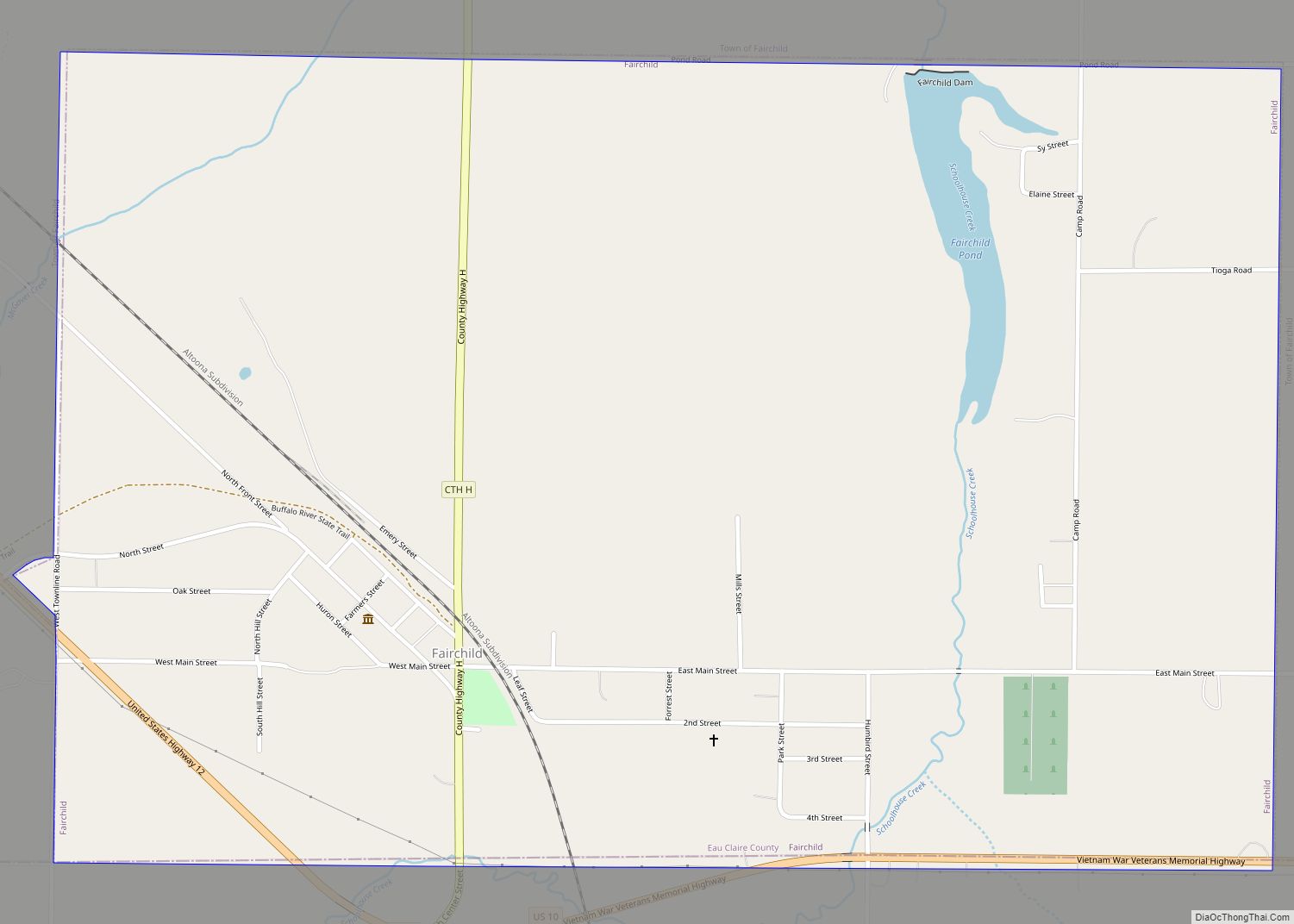
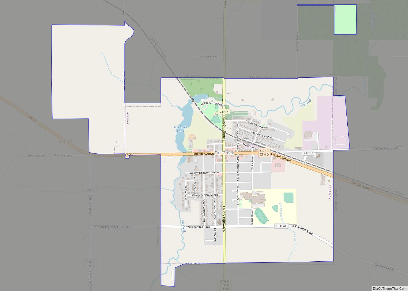
Online Interactive Map
Click on ![]() to view map in "full screen" mode.
to view map in "full screen" mode.
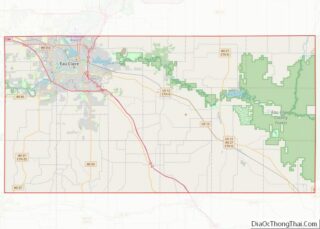
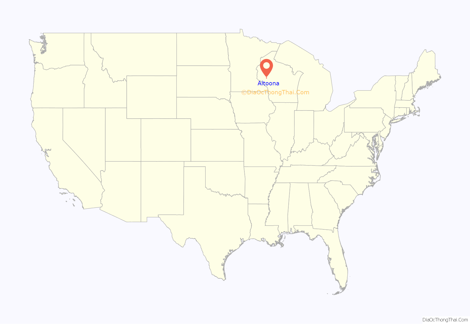
Altoona location map. Where is Altoona city?
History
The settlement of Altoona began in 1881 when the Chicago, St. Paul, Minneapolis and Omaha Railway selected the site for a new terminal to replace the overcrowded existing terminal in Eau Claire. The railroad had originally planned to put the new terminal in Fall Creek, but the city of Eau Claire lobbied for a site closer to the existing one, and representatives from Eau Claire and the railroad walked the tracks from Fall Creek to Eau Claire to determine a suitable site. When the location of present-day Altoona – approximately three miles east of the existing Eau Claire terminal – was found to have sufficient flat land and access to water (via the Eau Claire River), the railroad began construction of the new terminal and the community of “East Eau Claire” was platted in October.
Residents began moving into the community in early 1882 and the railroad terminal became operational in May of that year. However, confusion between the “Eau Claire” and “East Eau Claire” stations quickly caused the railroad to rename the new terminal “Altoona” on October 14, 1882. The name Altoona was based on Altoona, Pennsylvania, which in turn was named after Allatoona, Georgia. The name choice may also have been influenced by the presence of immigrants from Altona, Germany. Altoona was incorporated as a city on April 5, 1887.
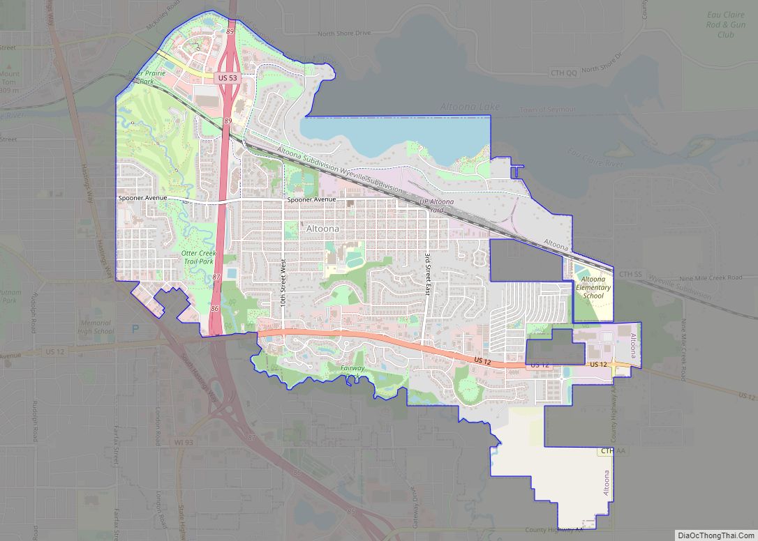
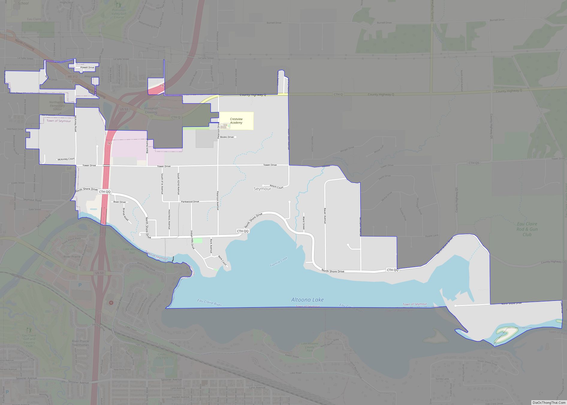
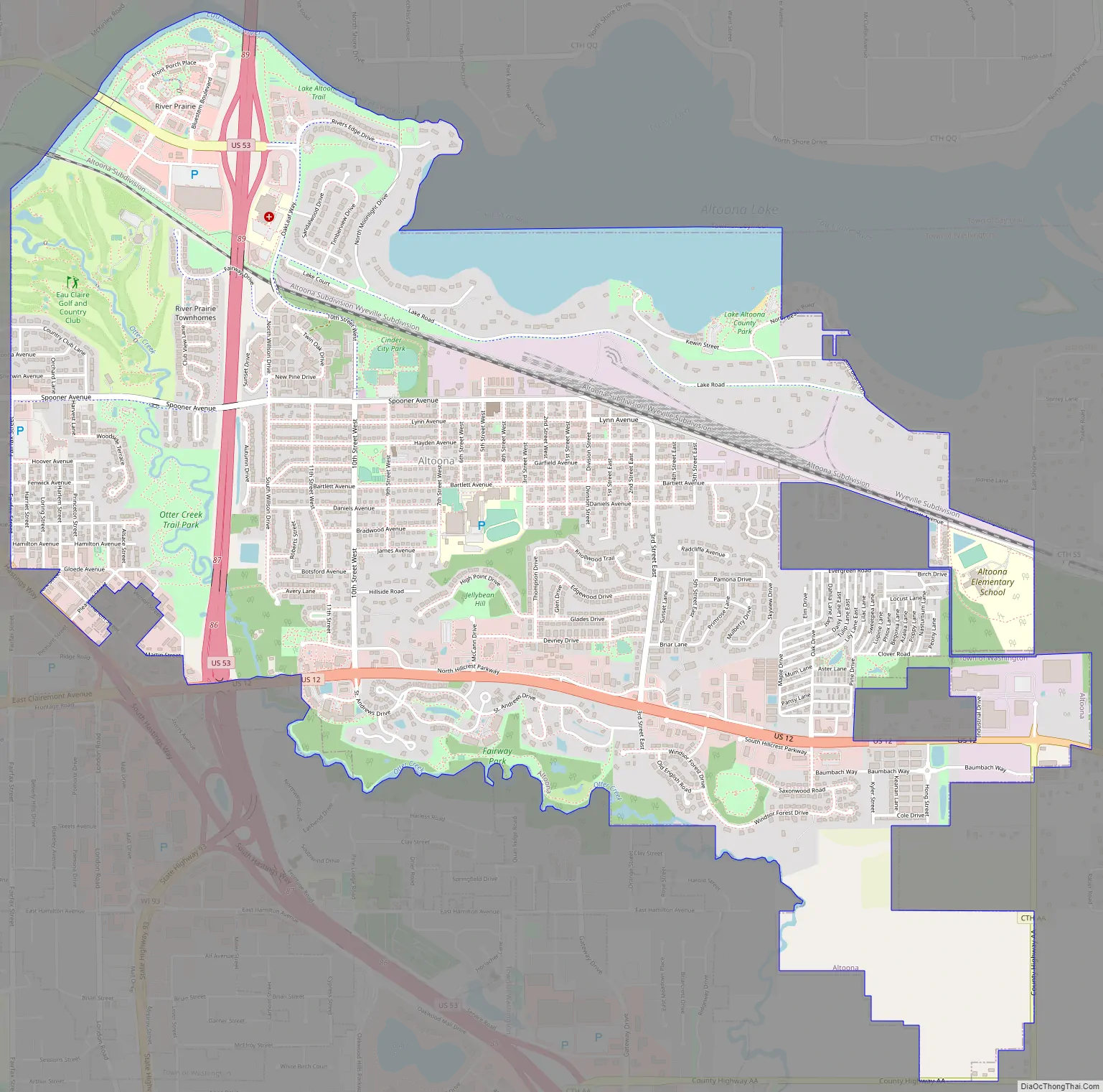
Continued growth in both Altoona and Eau Claire over the past century has left the two cities adjacent to one another, with Fairfax St. and Bus. 53 providing a general boundary between the two, although the actual border is irregular. County Highway AA generally forms the eastern limits of the city. Altoona is bounded on the north by Lake Altoona and the Eau Claire River. To the south, the city limits generally follow Otter Creek.
Altoona Road Map
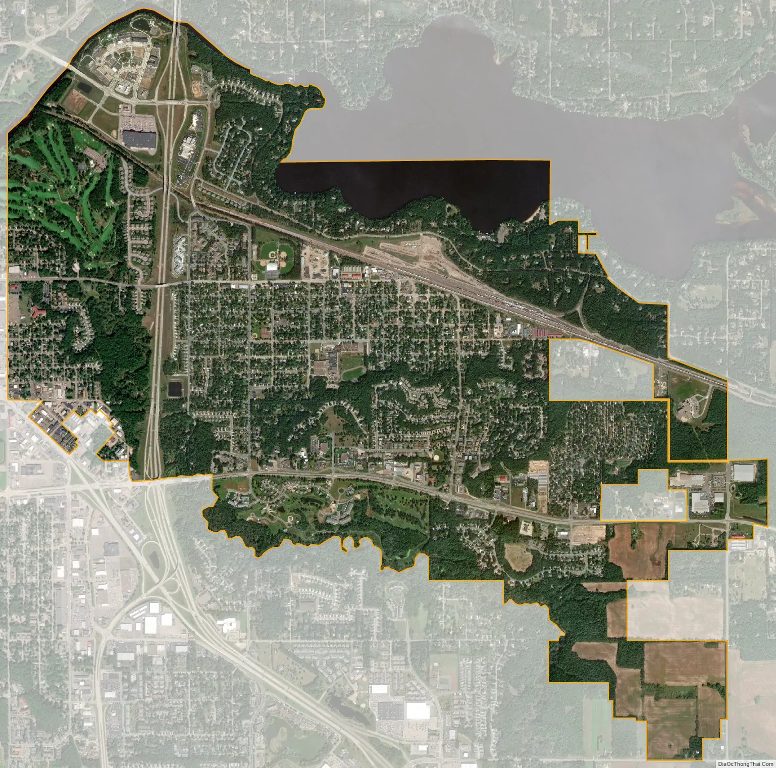
Altoona city Satellite Map
Geography
Altoona is located at 44°48′15″N 91°26′32″W / 44.80417°N 91.44222°W / 44.80417; -91.44222 (44.804110, -91.442183).
According to the United States Census Bureau, the city has a total area of 4.86 square miles (12.59 km), of which, 4.65 square miles (12.04 km) is land and 0.21 square miles (0.54 km) is water.
Altoona is situated near Lake Altoona, a man-made lake, with water provided by the Eau Claire River.
See also
Map of Wisconsin State and its subdivision:- Adams
- Ashland
- Barron
- Bayfield
- Brown
- Buffalo
- Burnett
- Calumet
- Chippewa
- Clark
- Columbia
- Crawford
- Dane
- Dodge
- Door
- Douglas
- Dunn
- Eau Claire
- Florence
- Fond du Lac
- Forest
- Grant
- Green
- Green Lake
- Iowa
- Iron
- Jackson
- Jefferson
- Juneau
- Kenosha
- Kewaunee
- La Crosse
- Lafayette
- Lake Michigan
- Lake Superior
- Langlade
- Lincoln
- Manitowoc
- Marathon
- Marinette
- Marquette
- Menominee
- Milwaukee
- Monroe
- Oconto
- Oneida
- Outagamie
- Ozaukee
- Pepin
- Pierce
- Polk
- Portage
- Price
- Racine
- Richland
- Rock
- Rusk
- Saint Croix
- Sauk
- Sawyer
- Shawano
- Sheboygan
- Taylor
- Trempealeau
- Vernon
- Vilas
- Walworth
- Washburn
- Washington
- Waukesha
- Waupaca
- Waushara
- Winnebago
- Wood
- Alabama
- Alaska
- Arizona
- Arkansas
- California
- Colorado
- Connecticut
- Delaware
- District of Columbia
- Florida
- Georgia
- Hawaii
- Idaho
- Illinois
- Indiana
- Iowa
- Kansas
- Kentucky
- Louisiana
- Maine
- Maryland
- Massachusetts
- Michigan
- Minnesota
- Mississippi
- Missouri
- Montana
- Nebraska
- Nevada
- New Hampshire
- New Jersey
- New Mexico
- New York
- North Carolina
- North Dakota
- Ohio
- Oklahoma
- Oregon
- Pennsylvania
- Rhode Island
- South Carolina
- South Dakota
- Tennessee
- Texas
- Utah
- Vermont
- Virginia
- Washington
- West Virginia
- Wisconsin
- Wyoming