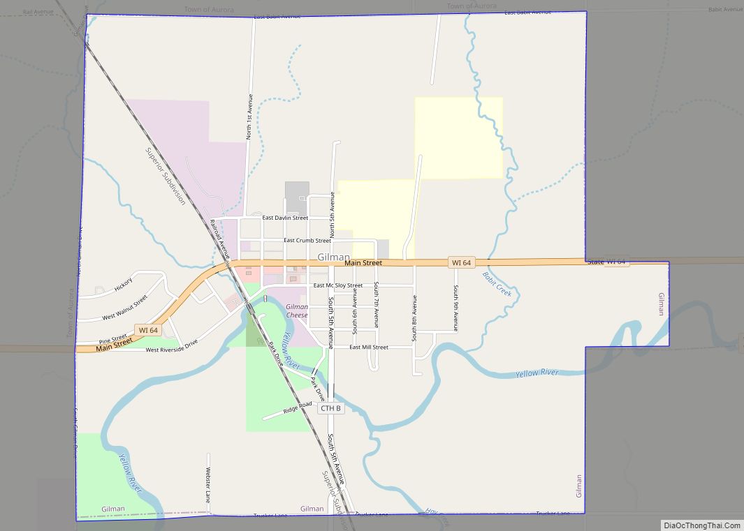
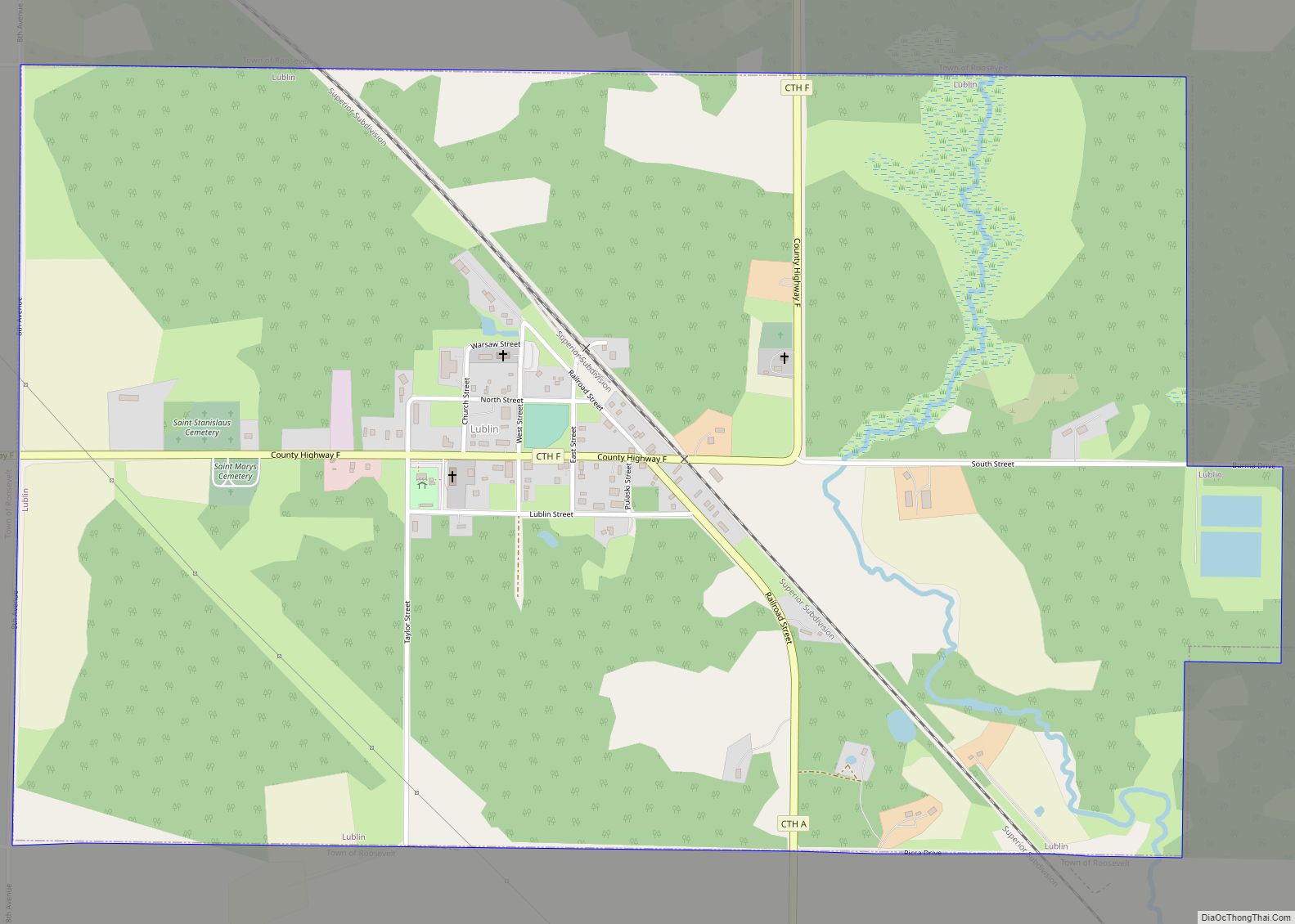
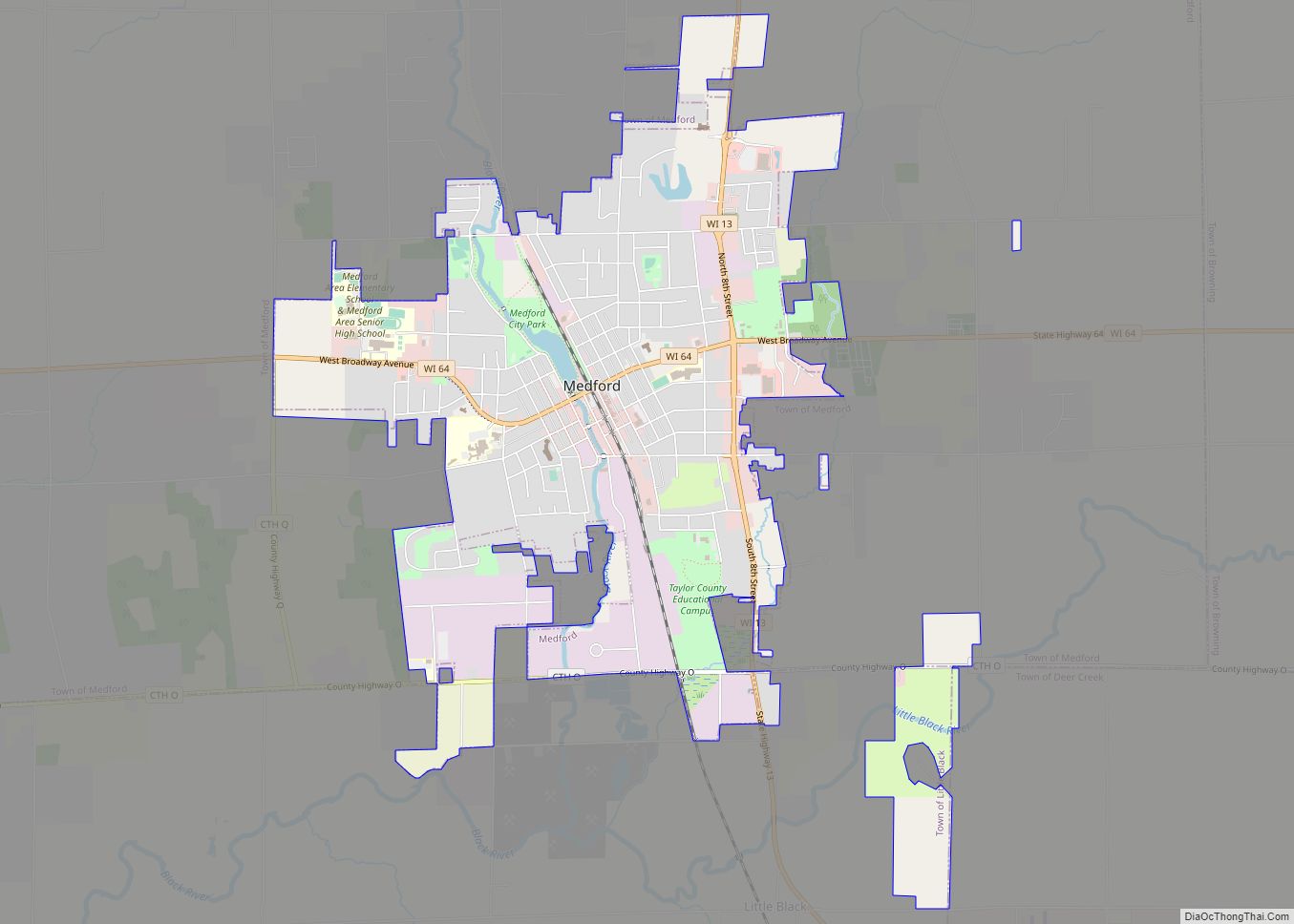
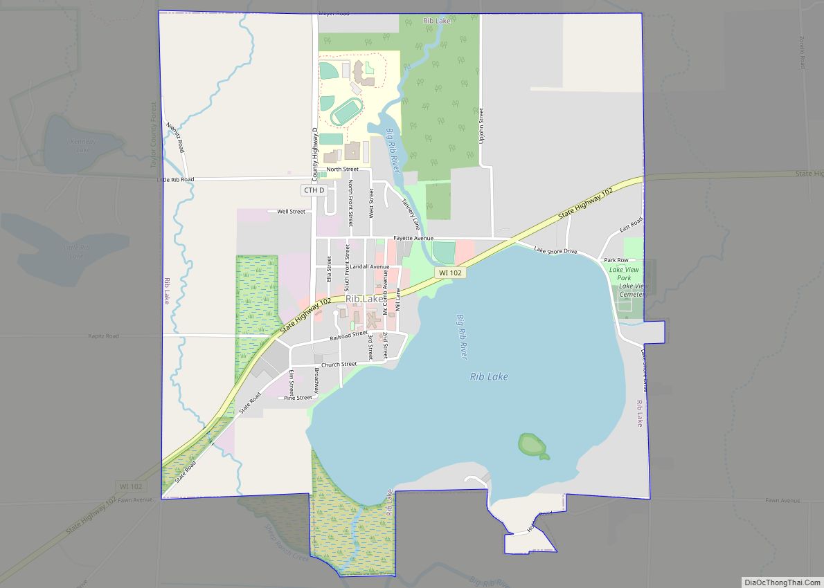
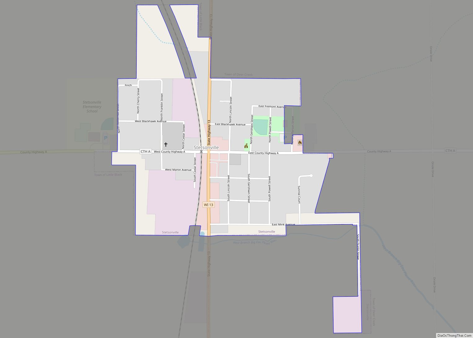
Gilman is a village in Taylor County, Wisconsin, United States. The population was 410 at the 2010 census. The village is located between the towns of Aurora and Ford.
| Name: | Gilman village |
|---|---|
| LSAD Code: | 47 |
| LSAD Description: | village (suffix) |
| State: | Wisconsin |
| County: | Taylor County |
| Elevation: | 1,224 ft (373 m) |
| Total Area: | 2.34 sq mi (6.06 km²) |
| Land Area: | 2.34 sq mi (6.06 km²) |
| Water Area: | 0.00 sq mi (0.00 km²) |
| Total Population: | 410 |
| Population Density: | 167.52/sq mi (64.67/km²) |
| ZIP code: | 54433 |
| Area code: | 715 & 534 |
| FIPS code: | 5529175 |
| GNISfeature ID: | 1583276 |
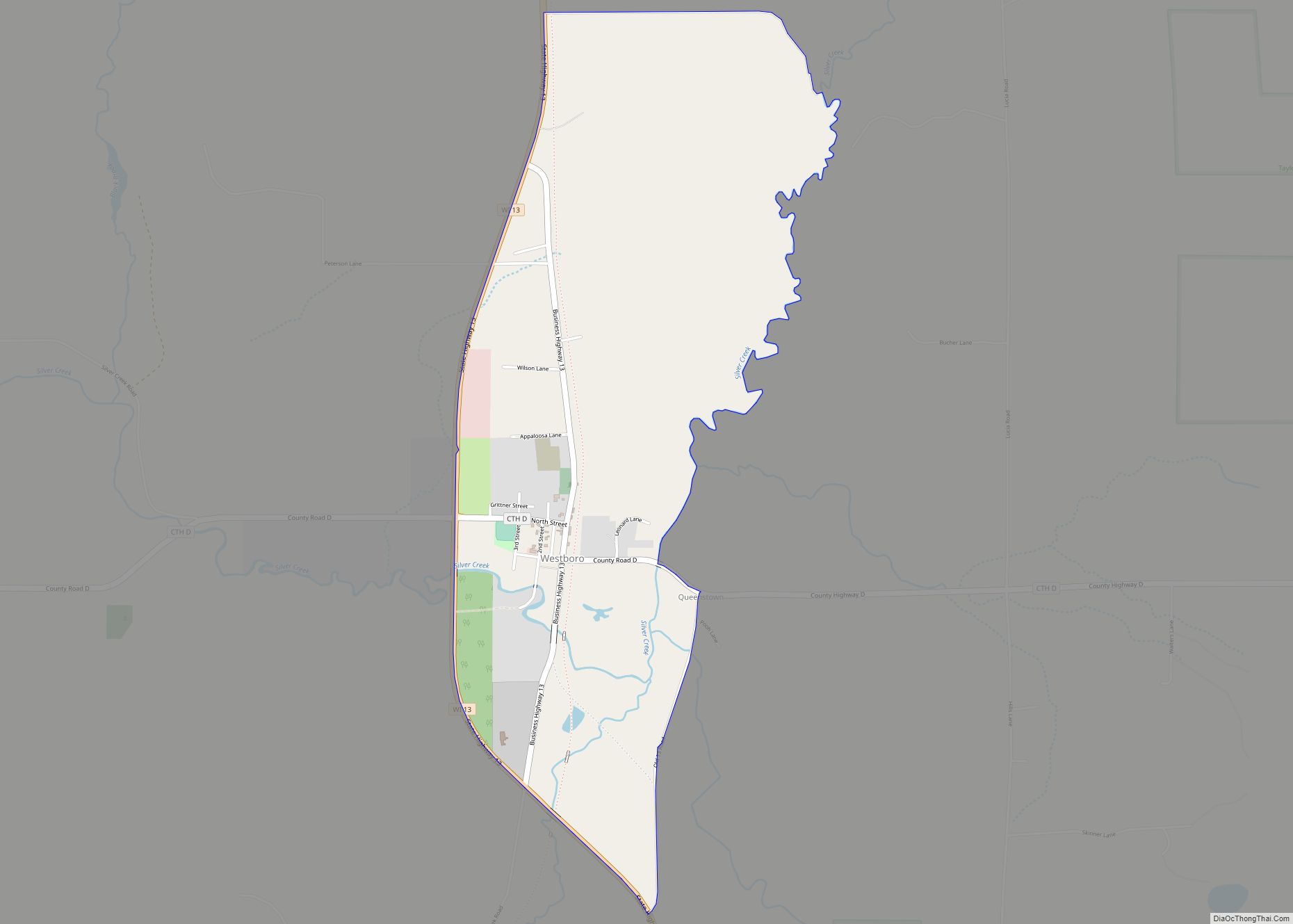
Online Interactive Map
Click on ![]() to view map in "full screen" mode.
to view map in "full screen" mode.
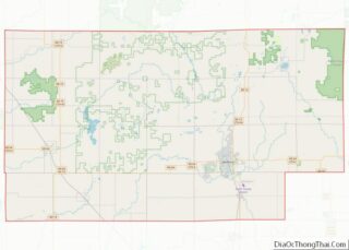
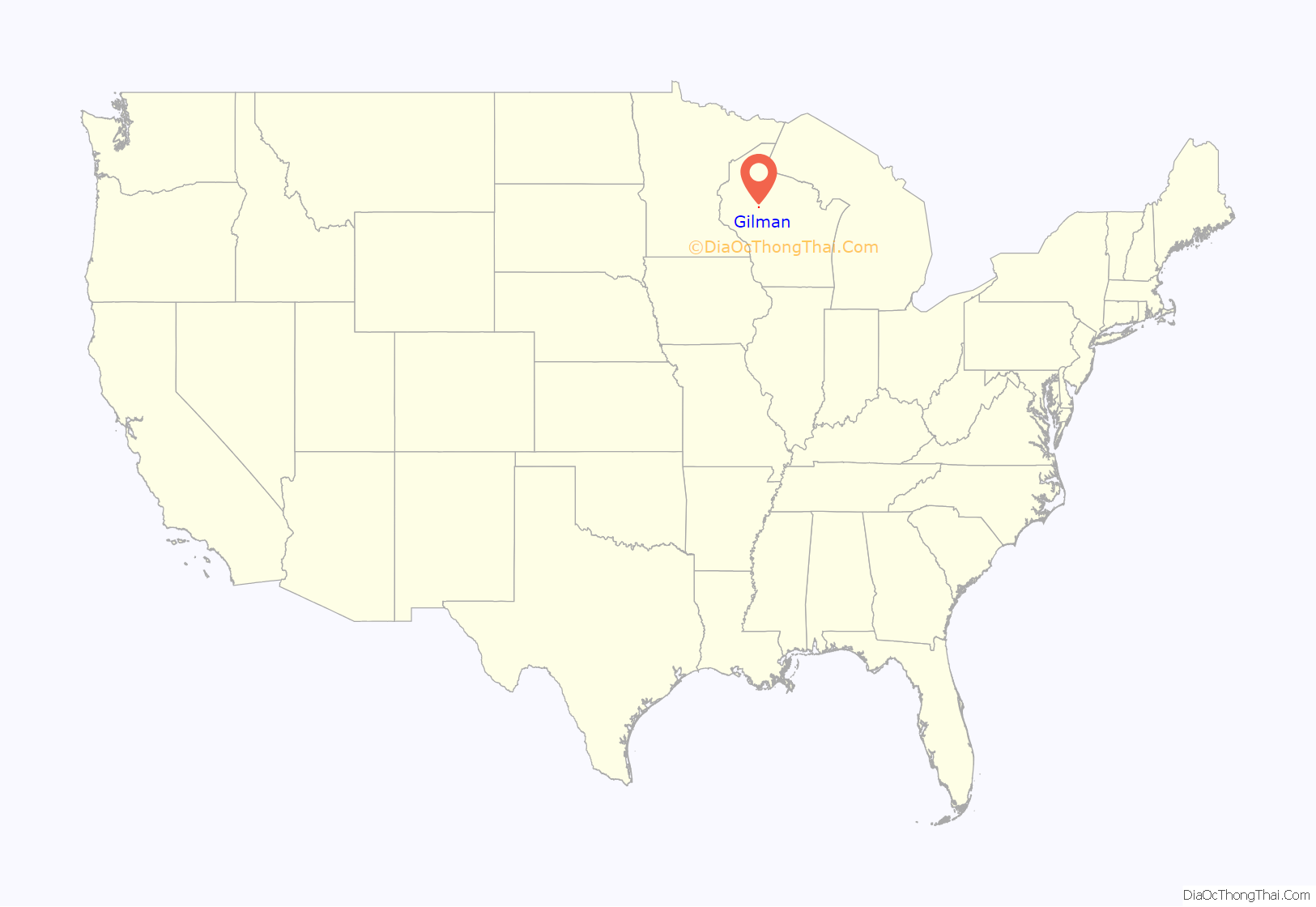
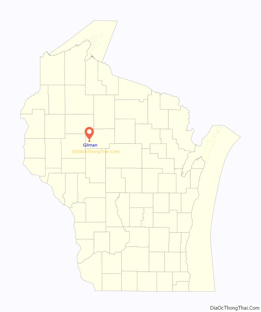
Gilman location map. Where is Gilman village?
History
Gilman was not settled until 1902 or 1903, though people had settled along the Yellow River in the west end of what is now the town of Aurora by 1900. The article on Aurora contains a description of the area from 1854, before logging or settlers. By 1880 a “Winter Road” followed the Yellow River through the vicinity of what would become Gilman, heading for logging operations further up the Yellow.
In 1902 and 1903 the Stanley, Merrill and Phillips Railway crossed the Yellow River into the woods that would become Gilman, heading for Jump River and beyond. It built a section house where the line crossed the river and named the stop for Sally Gilman, the wife of the president of the Northwestern Lumber Company. That was the start of Gilman. The SM&P ran generally north through town, passing just east of the current school. Around 1905, the Wisconsin Central Railway built its line northwest through town, heading from Owen to Ladysmith and eventually Superior. This line later became the Soo Line Railroad and eventually the Canadian National Railway line which still runs through town.
The village grew fast. A school was started in 1904 and the village was platted in 1905. Hotels, saloons, a general store, a barber and a post office soon followed. In 1907 Roy Heagle and others started a stave and heading mill called Gilman Manufacturing Company on the south side of town near the river. It made barrels from local basswood and by 1912 it employed as many as sixty men. During World War I the mill ran around the clock making barrels for ammunition. This mill operated until 1935. Heagle also ran a planing mill and a lath mill in Gilman.
Gilman was incorporated as a village in 1914. In 1915 three gas lights lit the streets at night – the only street lights between Owen and Ladysmith at the time. That same year the Catholic Church was organized. Other denominations followed shortly. A high school started in 1917. A fire destroyed much of Gilman’s business district in 1922, but it rebuilt.
During the same period, the village of Polley had grown two miles to the south, also on the SM&P line. It had a school, a hotel-saloon, a general store, a forty-man sawmill, a barber, a cheese factory, a millinery shop, and a newspaper. But the SM&P shut down in the 1930s and Polley declined until today only a bar and some homes and farms remain, while Gilman survives.
In the 1950s a central high school was started at Gilman for all of western Taylor County. Since then the primary schools have been centralized there too.
Today Gilman is smaller than it once was, but it has a hardware store, a few cafes, a bank, and other services. Major employers in town are the school, the nursing home, and Gilman Cheese. The major events each year are the Fall Fest and Snieg (Polish for snow) Fest in February, which features snow sculpting and a frying pan toss.
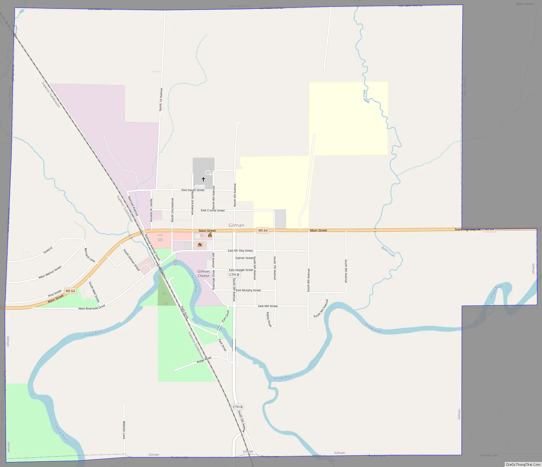
Gilman Road Map
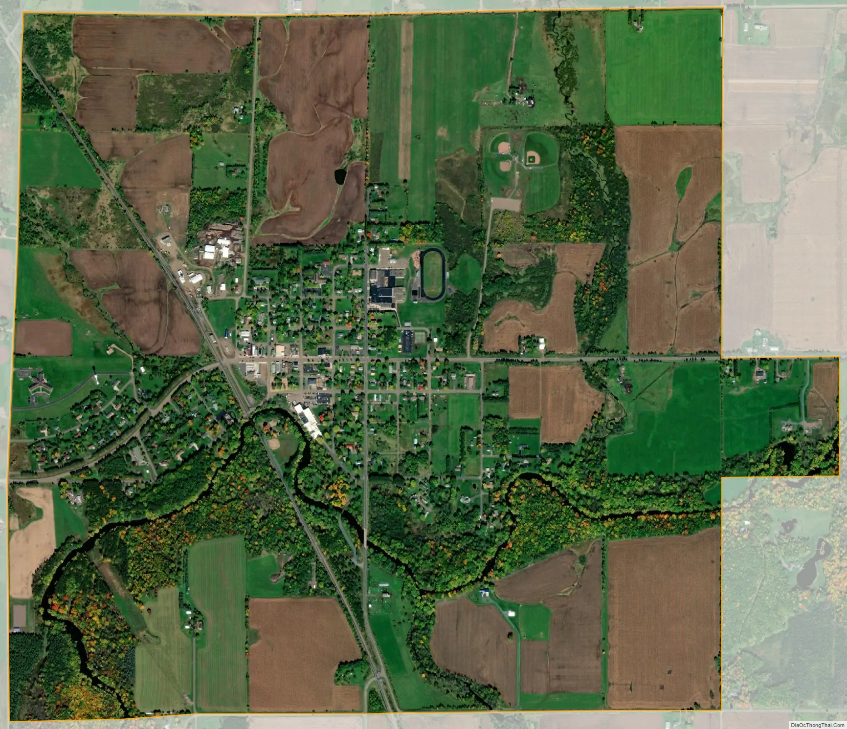
Gilman city Satellite Map
Geography
The community is in southwest Taylor County adjacent to the intersection of highways 64 and 73. The Chequamegon–Nicolet National Forest lies three miles to the east.
According to the United States Census Bureau, the village has a total area of 2.34 square miles (6.06 km), all of it land.
See also
Map of Wisconsin State and its subdivision:- Adams
- Ashland
- Barron
- Bayfield
- Brown
- Buffalo
- Burnett
- Calumet
- Chippewa
- Clark
- Columbia
- Crawford
- Dane
- Dodge
- Door
- Douglas
- Dunn
- Eau Claire
- Florence
- Fond du Lac
- Forest
- Grant
- Green
- Green Lake
- Iowa
- Iron
- Jackson
- Jefferson
- Juneau
- Kenosha
- Kewaunee
- La Crosse
- Lafayette
- Lake Michigan
- Lake Superior
- Langlade
- Lincoln
- Manitowoc
- Marathon
- Marinette
- Marquette
- Menominee
- Milwaukee
- Monroe
- Oconto
- Oneida
- Outagamie
- Ozaukee
- Pepin
- Pierce
- Polk
- Portage
- Price
- Racine
- Richland
- Rock
- Rusk
- Saint Croix
- Sauk
- Sawyer
- Shawano
- Sheboygan
- Taylor
- Trempealeau
- Vernon
- Vilas
- Walworth
- Washburn
- Washington
- Waukesha
- Waupaca
- Waushara
- Winnebago
- Wood
- Alabama
- Alaska
- Arizona
- Arkansas
- California
- Colorado
- Connecticut
- Delaware
- District of Columbia
- Florida
- Georgia
- Hawaii
- Idaho
- Illinois
- Indiana
- Iowa
- Kansas
- Kentucky
- Louisiana
- Maine
- Maryland
- Massachusetts
- Michigan
- Minnesota
- Mississippi
- Missouri
- Montana
- Nebraska
- Nevada
- New Hampshire
- New Jersey
- New Mexico
- New York
- North Carolina
- North Dakota
- Ohio
- Oklahoma
- Oregon
- Pennsylvania
- Rhode Island
- South Carolina
- South Dakota
- Tennessee
- Texas
- Utah
- Vermont
- Virginia
- Washington
- West Virginia
- Wisconsin
- Wyoming