Map of Fairchild village
Fairchild is a town in Eau Claire County, Wisconsin, United States. The population was 351 at the 2000 census. The Village of Fairchild is located within the town. Fairchild village overview: Name: Fairchild village LSAD Code: 47 LSAD Description: village (suffix) State: Wisconsin County: Eau Claire County FIPS code: 5524825 Online Interactive Map Fairchild online ... Read more
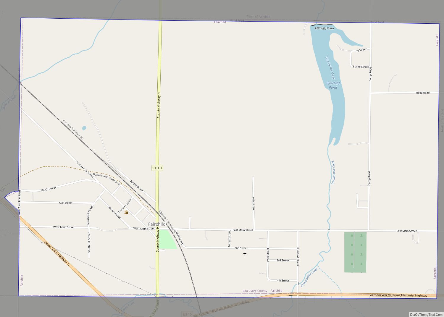
Map of Fairchild village
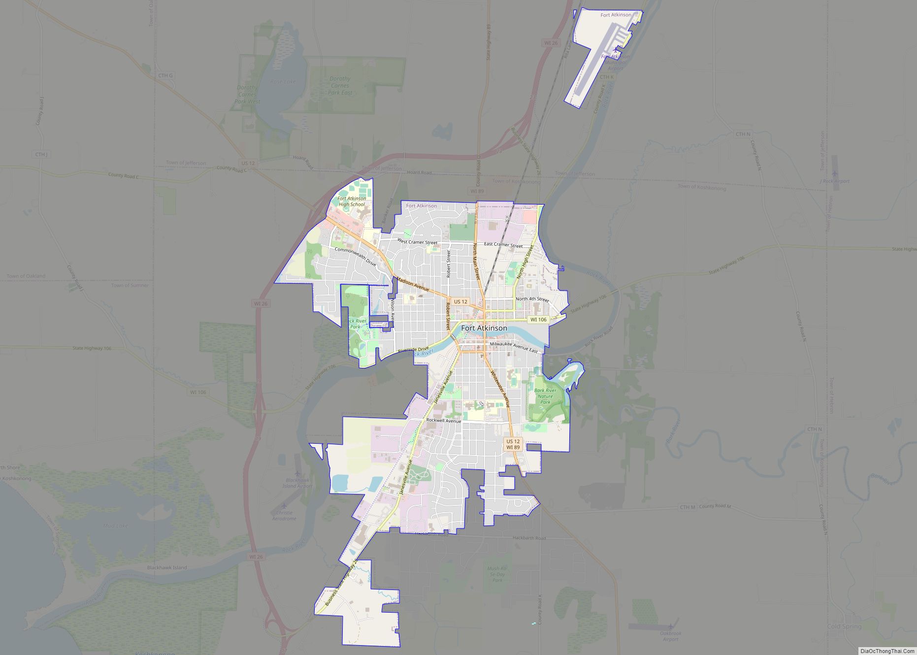
Map of Fort Atkinson city, Wisconsin
Fort Atkinson is a city in Jefferson County, Wisconsin, United States. It is on the Rock River, a few miles upstream from Lake Koshkonong. The population was 12,579 at the 2020 census. Fort Atkinson is the largest city located entirely in Jefferson County, as Watertown is split between Jefferson and Dodge counties. Fort Atkinson is ... Read more
Map of Fort Atkinson city, Wisconsin
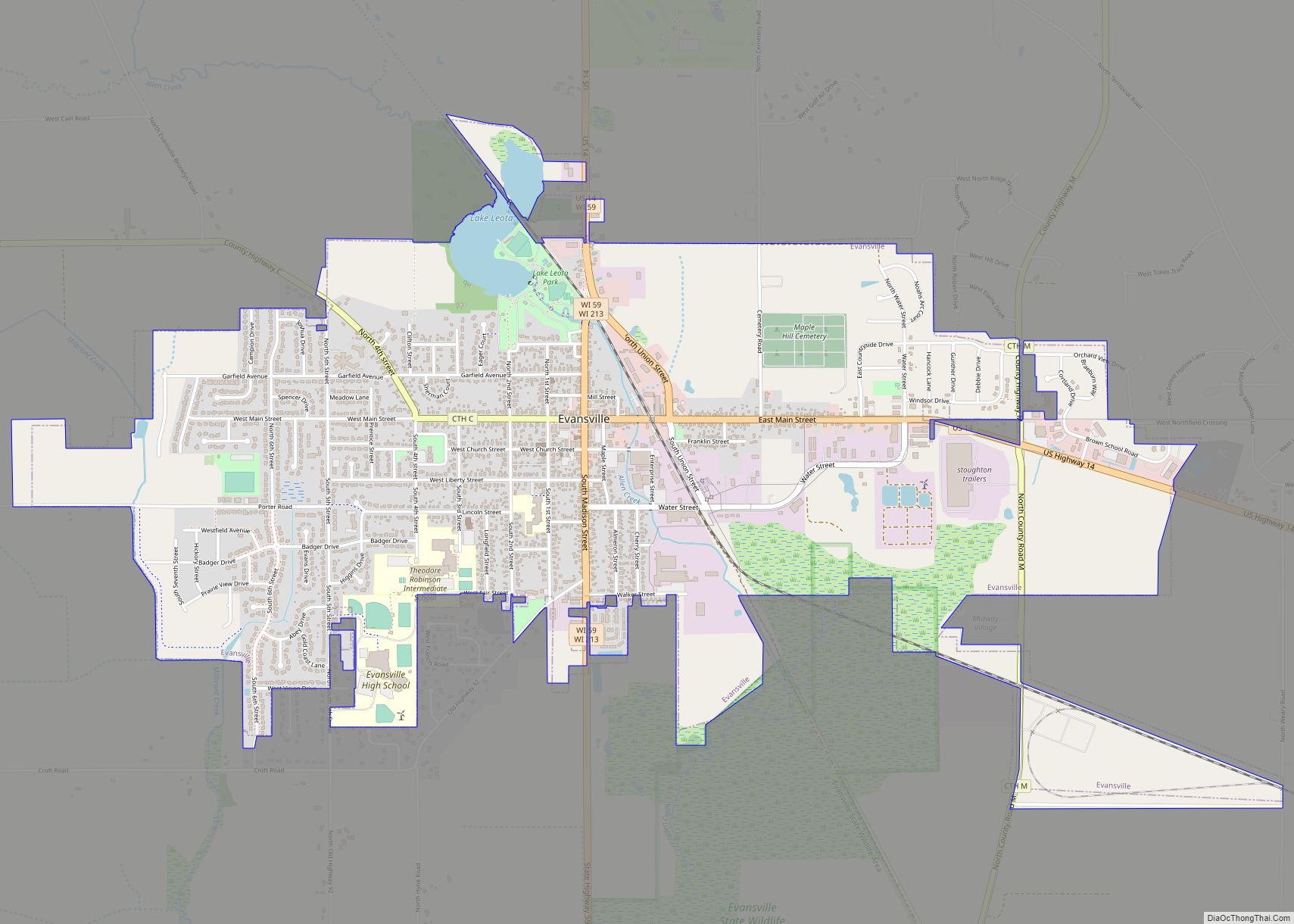
Map of Evansville city, Wisconsin
Evansville is a city in Rock County, Wisconsin, United States. The population was 5,703 at the 2020 census. Evansville is a part of the Janesville-Beloit Metropolitan Statistical Area and the Madison-Janesville-Beloit CSA. Evansville city overview: Name: Evansville city LSAD Code: 25 LSAD Description: city (suffix) State: Wisconsin County: Rock County Elevation: 912 ft (278 m) Total Area: ... Read more
Map of Evansville city, Wisconsin
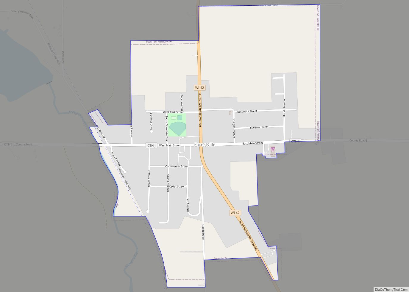
Map of Forestville village, Wisconsin
Forestville is a village in Door County, Wisconsin, United States, along the Ahnapee River. The population was 430 at the 2010 census. The village is located within the Town of Forestville. The village uses the 54213 ZIP code. The Ahnapee State Trail passes through the village on the southwest. Forestville village overview: Name: Forestville village ... Read more
Map of Forestville village, Wisconsin
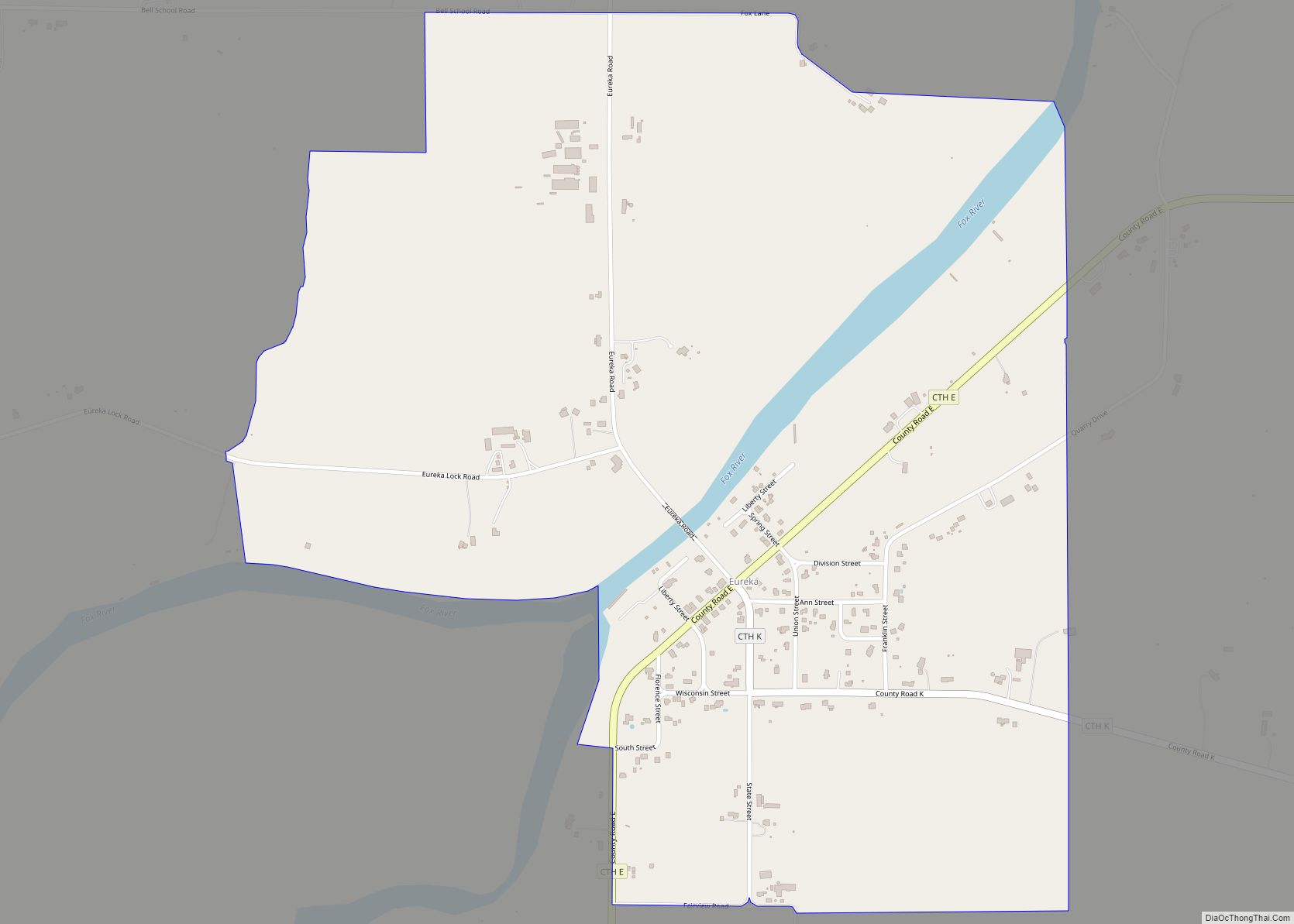
Map of Eureka CDP, Wisconsin
Eureka is an unincorporated census-designated place in the town of Rushford, in Winnebago County, Wisconsin, United States. It is located on the Fox River at the intersection of county highways K & E southwest of Omro. At the 2020 census, its population was 247. Eureka CDP overview: Name: Eureka CDP LSAD Code: 57 LSAD Description: ... Read more
Map of Eureka CDP, Wisconsin
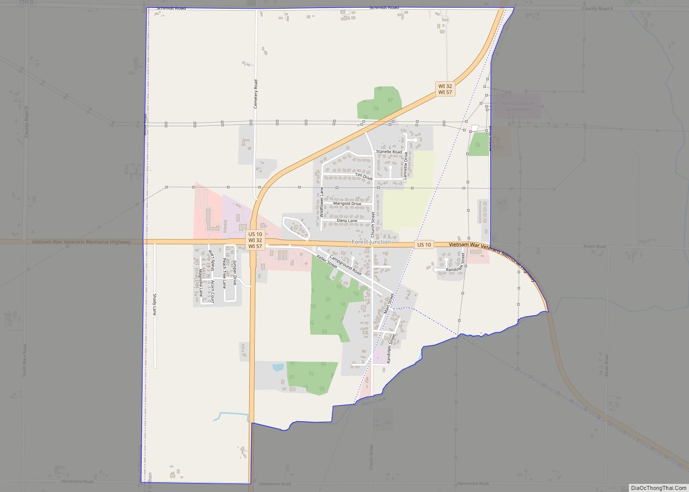
Map of Forest Junction CDP
Forest Junction is an unincorporated census-designated place in the town of Brillion, Calumet County, Wisconsin, United States. As of the 2010 census, its population was 616. The community has its own water tower and utilities. Its ZIP code is 54123. Forest Junction CDP overview: Name: Forest Junction CDP LSAD Code: 57 LSAD Description: CDP (suffix) ... Read more
Map of Forest Junction CDP
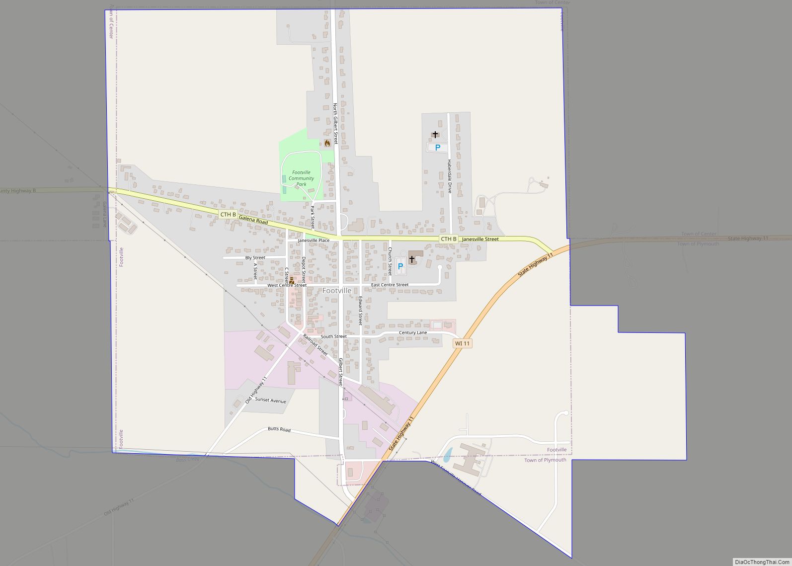
Map of Footville village
Footville is a village in Rock County, Wisconsin, United States. The population was 772 at the 2020 census. Footville village overview: Name: Footville village LSAD Code: 47 LSAD Description: village (suffix) State: Wisconsin County: Rock County Elevation: 830 ft (253 m) Total Area: 1.12 sq mi (2.91 km²) Land Area: 1.12 sq mi (2.91 km²) Water Area: 0.00 sq mi (0.00 km²) Total Population: 772 Population ... Read more
Map of Footville village
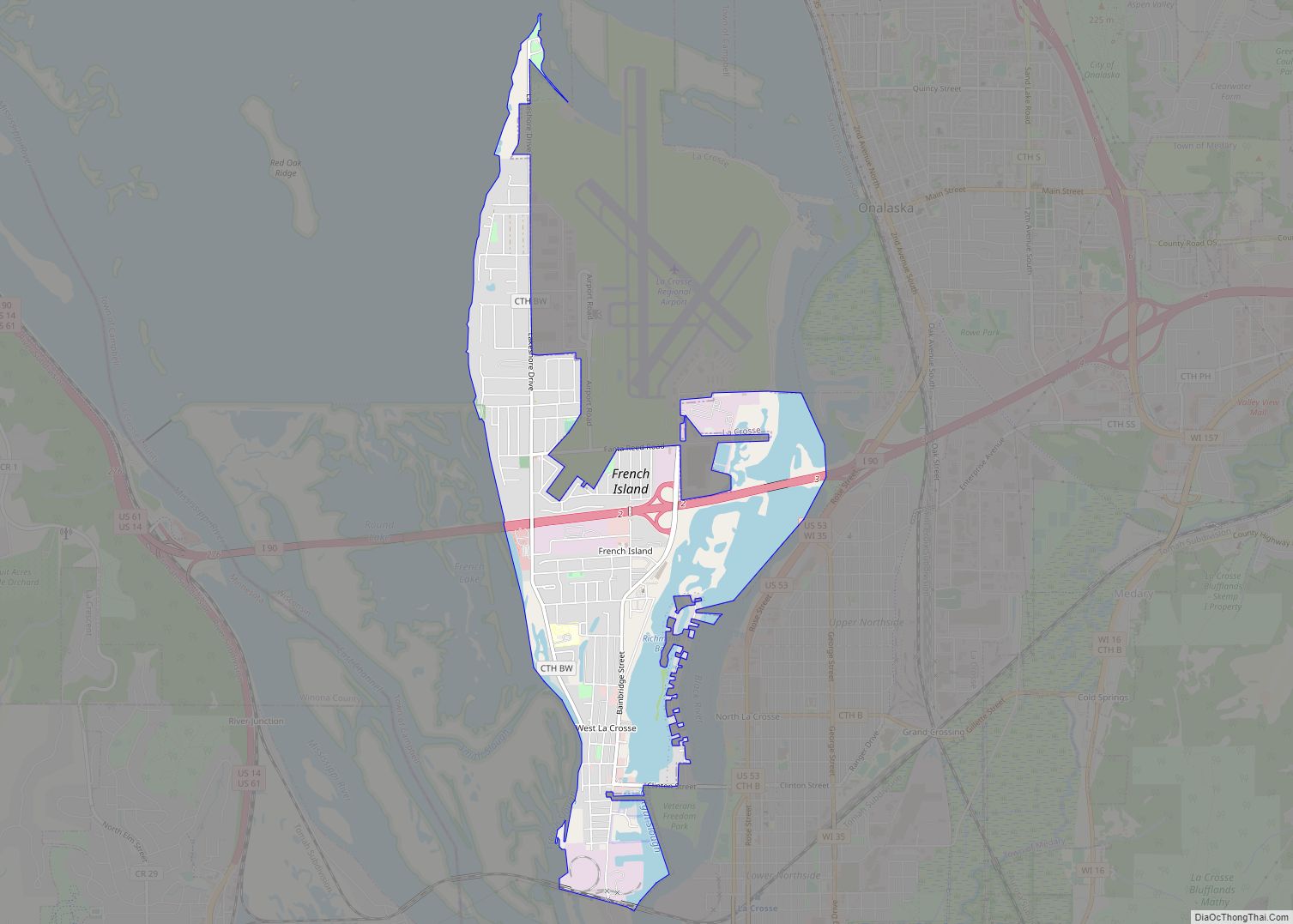
Map of French Island CDP
French Island is a census-designated place (CDP) in La Crosse County, Wisconsin, United States. The population was 4,207 at the 2010 census. It lies on an island of the same name, though they are not coextensive; a portion of the island is part of the city of La Crosse. All of the island is part ... Read more
Map of French Island CDP
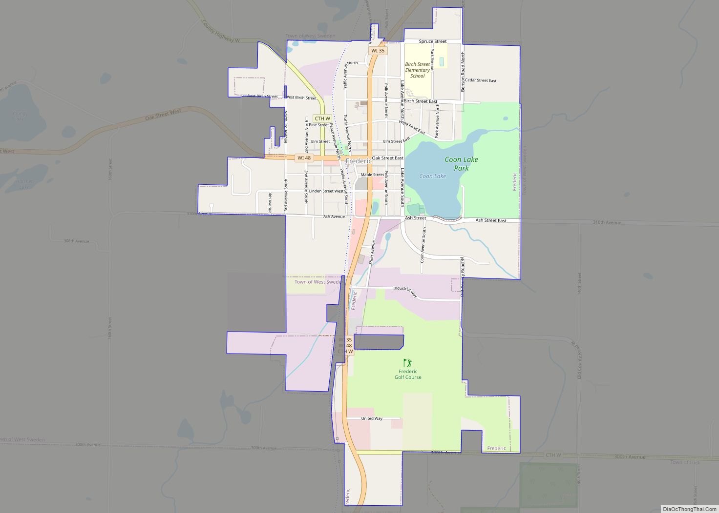
Map of Frederic village
Frederic is a village in Polk County, Wisconsin, United States. The population was 1,137 at the 2010 census. Frederic village overview: Name: Frederic village LSAD Code: 47 LSAD Description: village (suffix) State: Wisconsin County: Polk County Elevation: 1,214 ft (370 m) Total Area: 1.76 sq mi (4.56 km²) Land Area: 1.69 sq mi (4.38 km²) Water Area: 0.07 sq mi (0.18 km²) Total Population: 1,137 Population ... Read more
Map of Frederic village
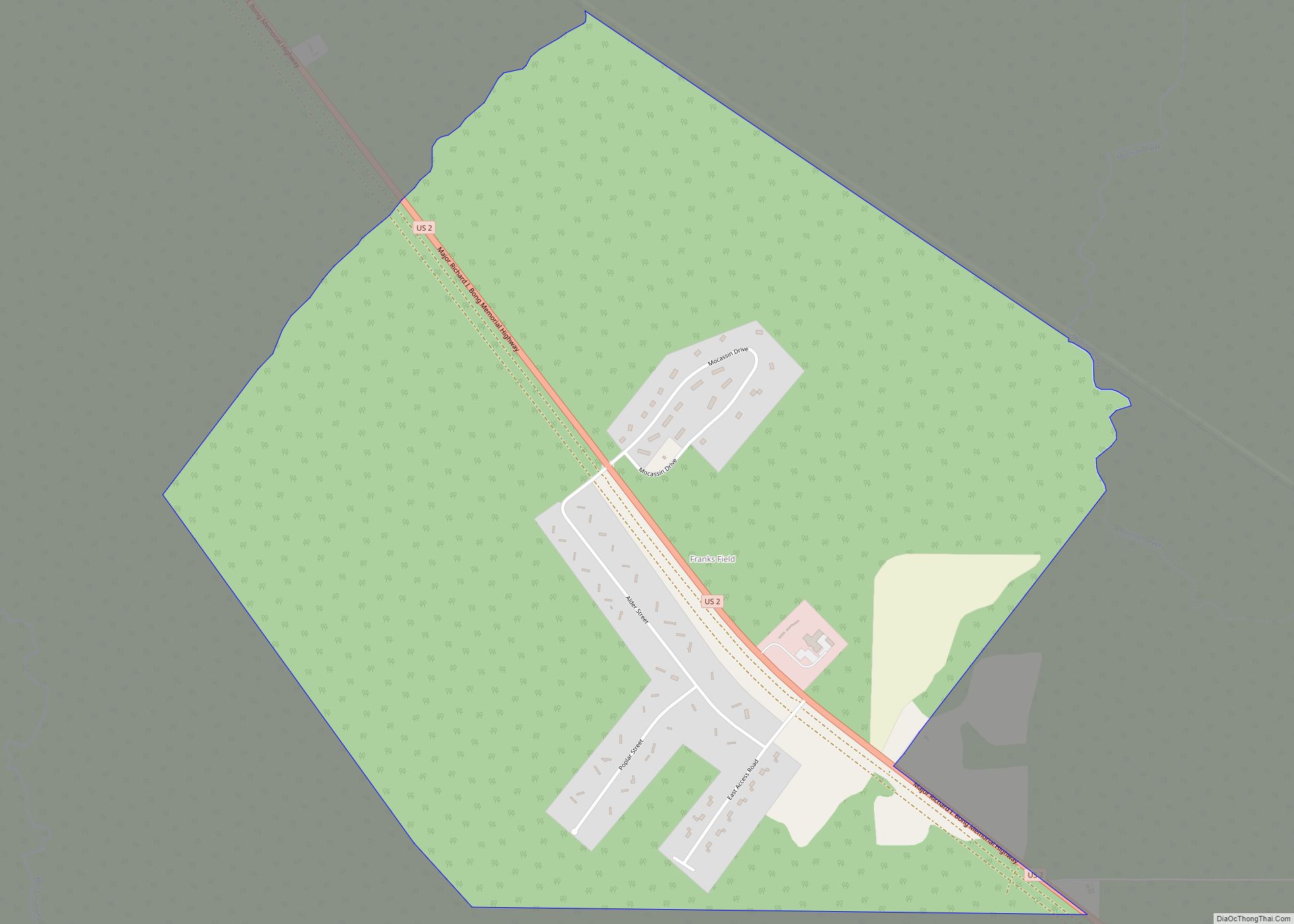
Map of Franks Field CDP
Franks Field is a census-designated place in the town of Sanborn, Ashland County, Wisconsin, United States. Its population was 154 as of the 2010 census. Franks Field is located on the Bad River Indian Reservation. Franks Field CDP overview: Name: Franks Field CDP LSAD Code: 57 LSAD Description: CDP (suffix) State: Wisconsin County: Ashland County ... Read more
Map of Franks Field CDP
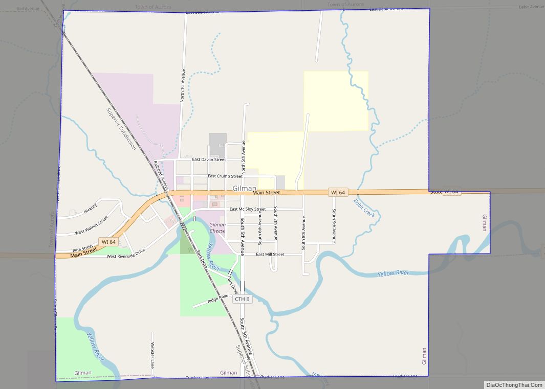
Map of Gilman village, Wisconsin
Gilman is a village in Taylor County, Wisconsin, United States. The population was 410 at the 2010 census. The village is located between the towns of Aurora and Ford. Gilman village overview: Name: Gilman village LSAD Code: 47 LSAD Description: village (suffix) State: Wisconsin County: Taylor County Elevation: 1,224 ft (373 m) Total Area: 2.34 sq mi (6.06 km²) Land ... Read more
Map of Gilman village, Wisconsin
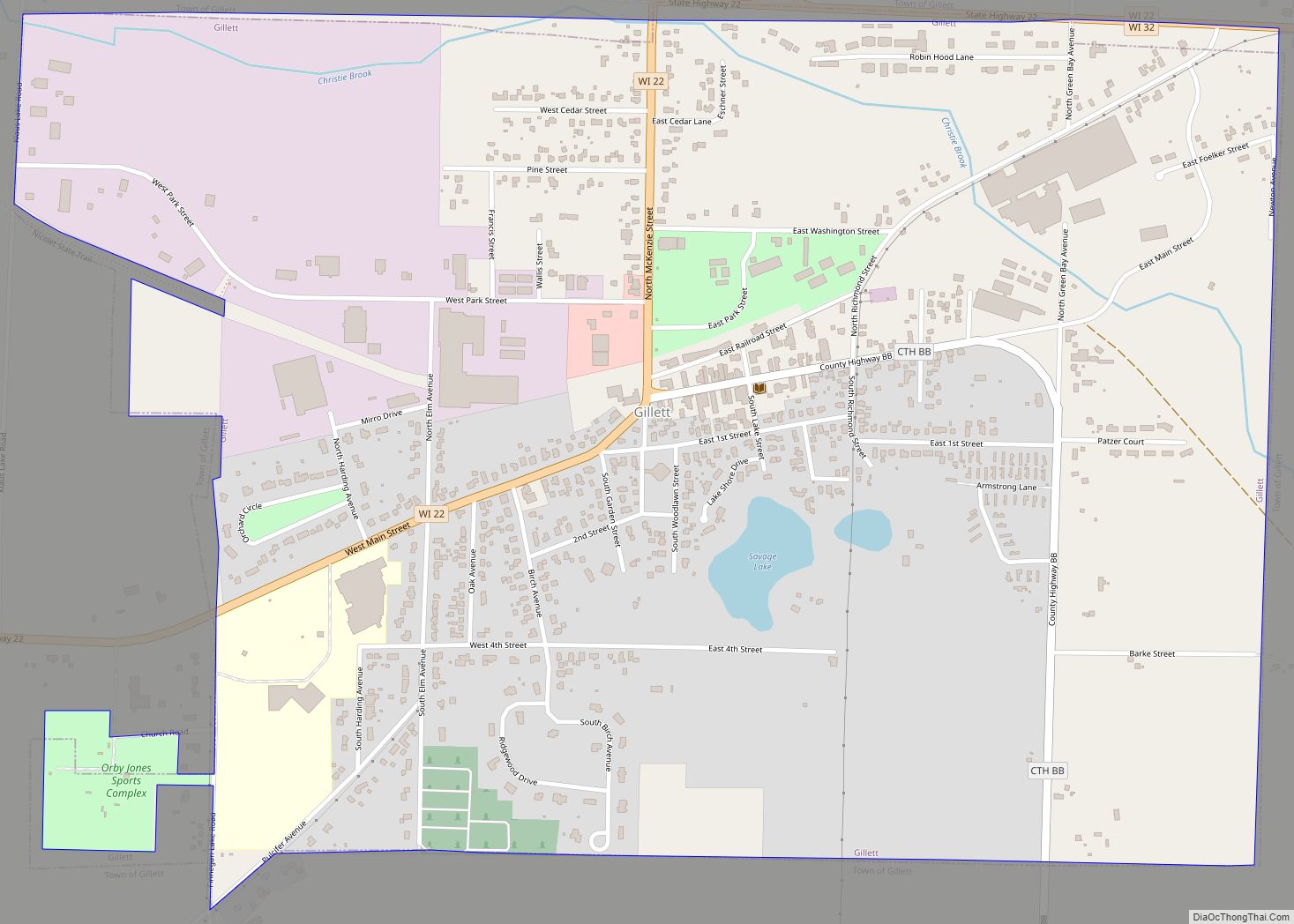
Map of Gillett city, Wisconsin
Gillett is a city in Oconto County, Wisconsin, United States. The population was 1,386 at the 2010 census. It is part of the Green Bay Metropolitan Statistical Area. The city is adjacent to the Town of Gillett. Gillett city overview: Name: Gillett city LSAD Code: 25 LSAD Description: city (suffix) State: Wisconsin County: Oconto County ... Read more
Map of Gillett city, Wisconsin