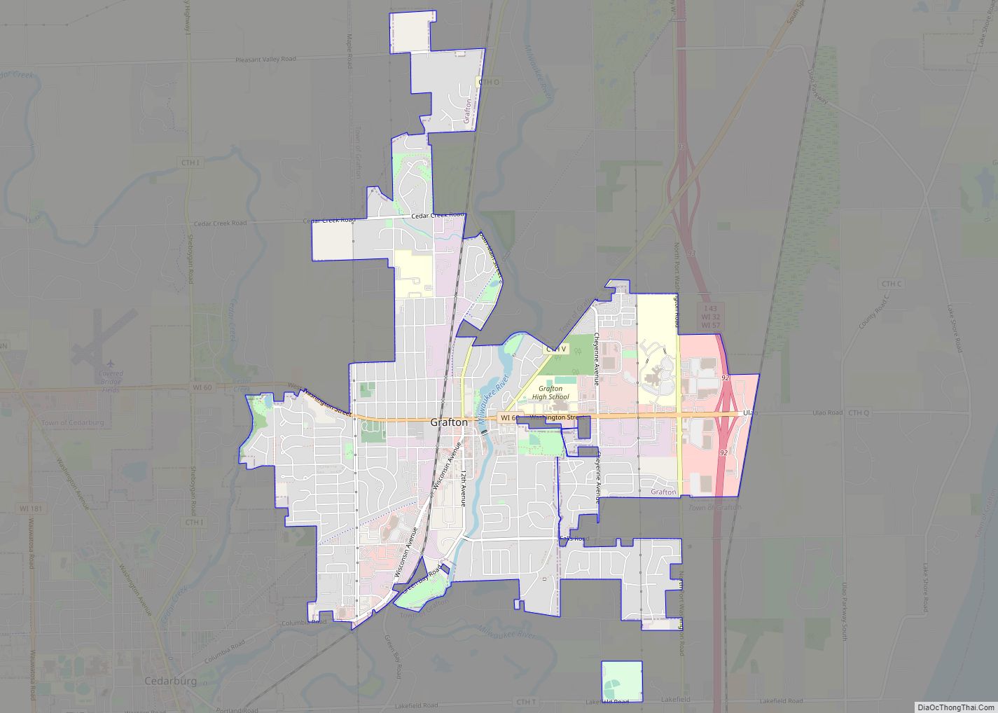
The Town of Grafton is a town located in Ozaukee County, Wisconsin, United States, and is in the Milwaukee metropolitan area. The town was created in 1846 and at the time of the 2020 Census had a population of 4,157.
Grafton is located on the western shore of Lake Michigan. German and Irish immigrants first settled in Grafton in the 1840s. Their centers of settlement became the unincorporated communities of Lakefield and Ulao, as well as the Village of Grafton, which is partially located in the town.
| Name: | Grafton village |
|---|---|
| LSAD Code: | 47 |
| LSAD Description: | village (suffix) |
| State: | Wisconsin |
| County: | Ozaukee County |
| Incorporated: | 1846; 177 years ago (1846) |
| Elevation: | 755 ft (230 m) |
| Total Area: | 21.4 sq mi (55.5 km²) |
| Land Area: | 19.8 sq mi (51.3 km²) |
| Water Area: | 1.6 sq mi (4.1 km²) |
| Total Population: | 4,157 |
| Population Density: | 208.5/sq mi (80.5/km²) |
| Area code: | 262 |
| FIPS code: | 5530000 |
| Website: | www.townofgrafton.org |
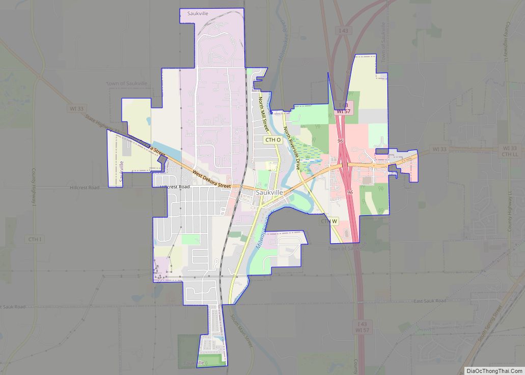
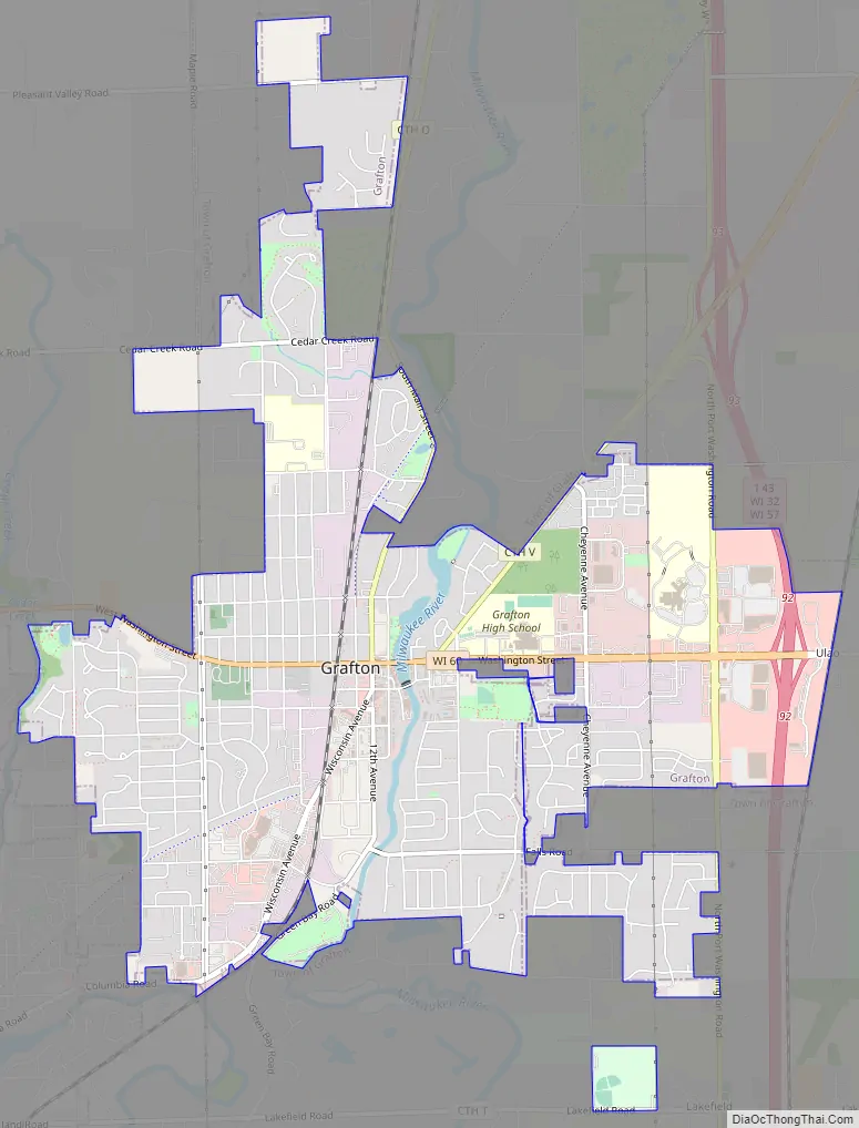
Online Interactive Map
Click on ![]() to view map in "full screen" mode.
to view map in "full screen" mode.
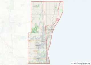
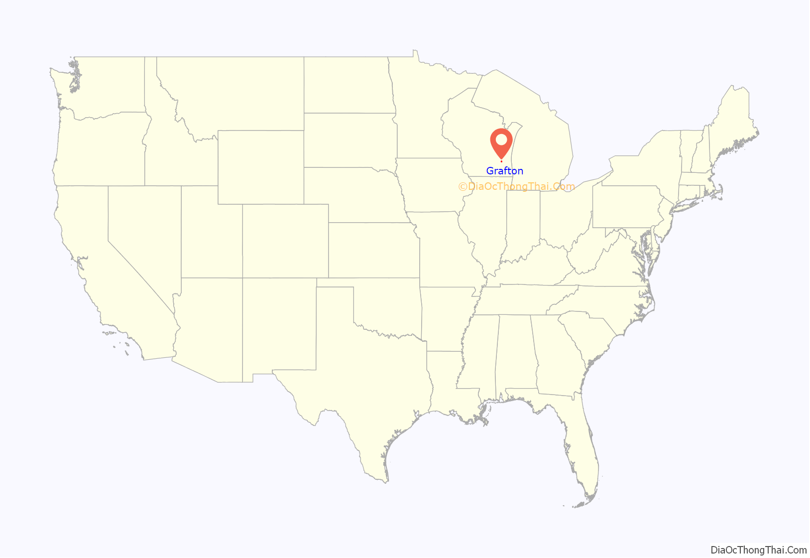
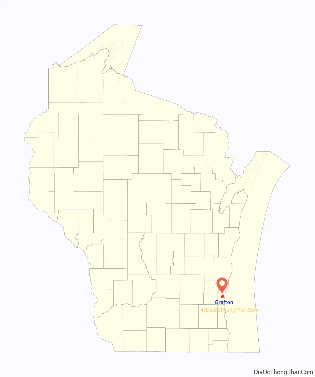
Grafton location map. Where is Grafton village?
History
The first Europeans to visit the area were the Jesuit missionaries Claude-Jean Allouez and Claude Bablon, who visited a Native American village on the Milwaukee River near the future site of Grafton around the year 1670.
Timothy Wooden, who arrived in 1839 from the eastern United States, is considered Grafton’s first permanent resident. The majority of the early residents were immigrants from Germany and Ireland. The Wisconsin territorial legislature officially created the Town of Grafton in 1846.
James T. Gifford, an investor who founded Elgin, Illinois, developed the community of Ulao in 1847 as a port on Lake Michigan. At the time, steamships were common on the Great Lakes and burned massive amounts of wood for fuel. A steamship could consume wood equivalent to several acres worth of forest on single journey. Much of Grafton was primeval beech-maple forest, which settlers were clearing for agriculture, and Gifford saw an opportunity for Ulao to prosper as a steamship refueling station. He built a sawmill, a warehouse, and a one-thousand-foot-long pier on the lake where ships docked to buy wood. The community prospered in the 1850s and 1860s, but by the end of the American Civil War, Ozaukee County’s forests had been largely depleted, and Ulao declined, with most of the land being converted to agriculture.
The Village of Grafton was incorporated from some of the town’s land in 1896.
In the late 1930s, a group of pro-Nazi German-Americans affiliated with the German American Bund purchased land on the Milwaukee River in the Town of Grafton. They ran a private camp called Camp Hindenburg, and hosted a speech by Nazi-supporter Fritz Julius Kuhn in 1939. The camp closed with the outbreak of World War II in 1941. George Froboese, a prominent member of the camp, committed suicide in 1942 while being escorted to New York to answer a Federal subpoena. Paul Knauer, another member of the camp, was stripped of his U.S. citizenship for having falsely taken the oath of allegiance and was deported back to Germany after the war.
In 1940, the pro-American, anti-Bund Wisconsin Federation of German-American Societies opened Camp Carl Schurz in the Town of Grafton to compete with the Nazi-sympathizers.
Grafton experienced significant population growth during the suburbanization that followed World War II, and the village annexed more farm land from the town of Grafton for residential subdivisions and commercial developments. The construction of Interstate 43 in the mid-1960s connected Grafton to other communities, such as Milwaukee and Sheboygan.
Grafton Road Map
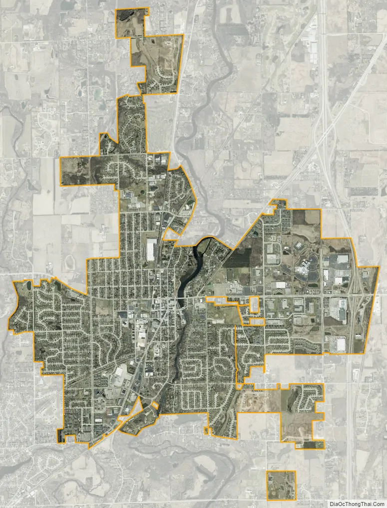
Grafton city Satellite Map
Geography
According to the United States Census Bureau, the town has a total area of 21.4 square miles (55 km), of which, 19.8 square miles (51 km) of it is land and 1.6 square miles (4.1 km) of it (7.47%) is water.
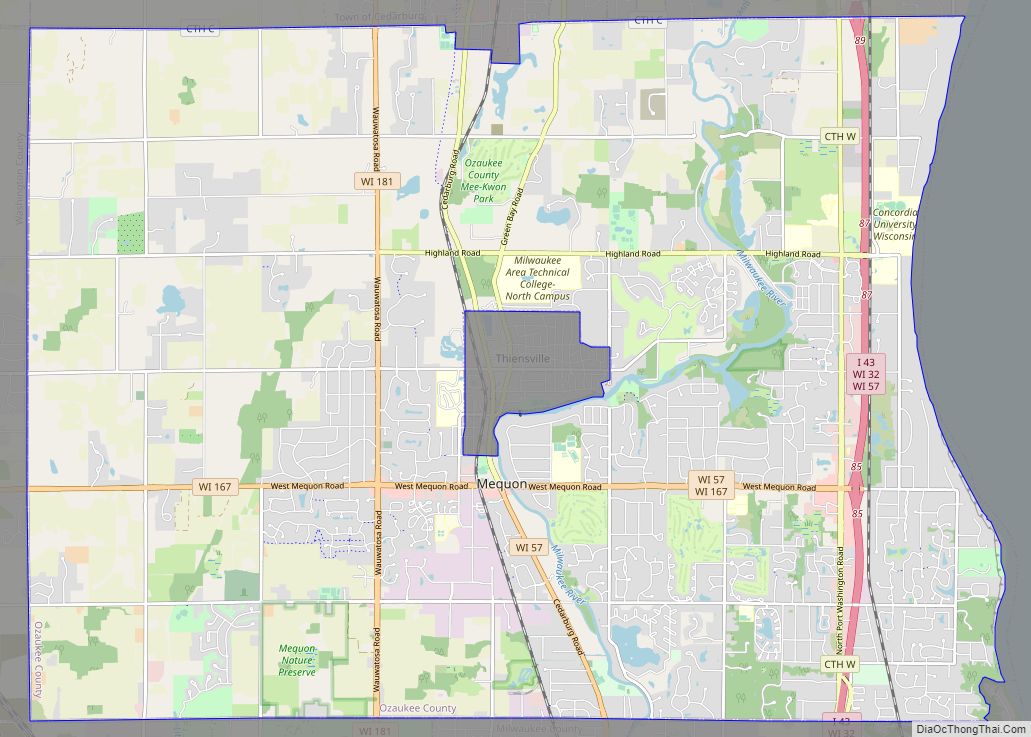
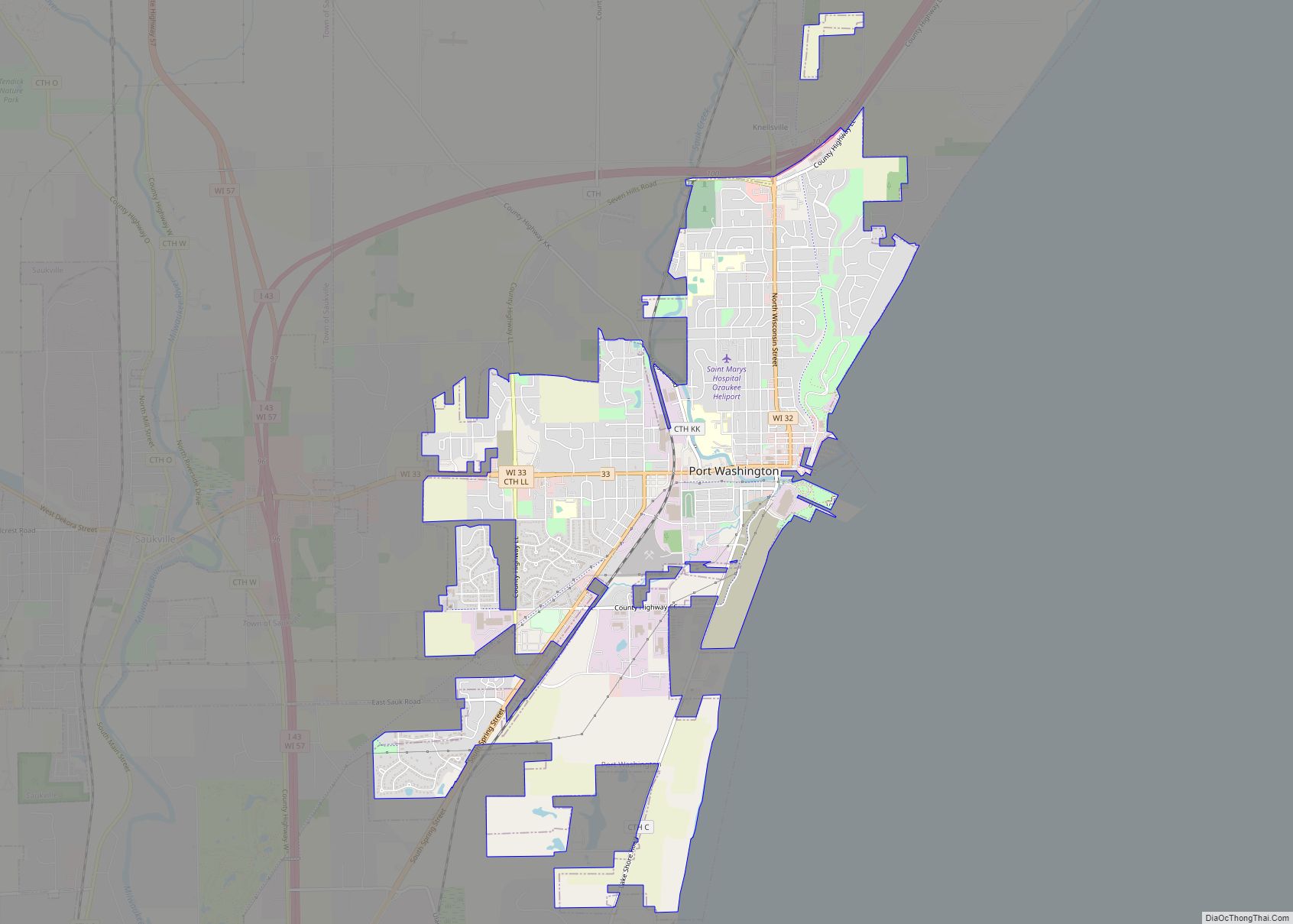
The Village of Grafton is mostly located in what was formerly the town’s western half. The town is also bordered by the City of Port Washington, Town of Port Washington, and Town of Saukville to the north; the City of Mequon to the south; the City of Cedarburg and the City of Cedarburg to the west; and Lake Michigan to the east. The unincorporated communities of Lakefield and Ulao are also located in the town.
The town is located on the western shore of Lake Michigan, and the coastline is characterized by clay bluffs ranging from 80 to 140 feet (24 to 43 meters) in height with deep ravines where streams flow into the lake. Clay bluffs are a geological formation are characteristic of the Lake Michigan shoreline, and are found in few other areas of the world. Much of the coast has mixed gravel and sand beaches. The Kevich Light, a privately owned lighthouse on the lake, is located in the town.
The town is located in the Southeastern Wisconsin glacial till plains that were created by the Wisconsin glaciation during the most recent ice age. The soil is clayey glacial till with a thin layer of loess on the surface. The Wisconsin Department of Natural Resources considers the eastern part of the town along the lake to be in the Central Lake Michigan Coastal ecological landscape, while the western part of the town is in the Southeast Glacial Plains ecological landscape.
Before white settlers arrived in the area, the Grafton area was an upland forest dominated by American beech and sugar maple trees. There were also white cedars growing along the Milwaukee River, which flows through Grafton. Much of the original forest was cleared to prepare the land for agriculture. The Bratt Woods nature preserve and the Kurtz Woods State Natural Area, which are both maintained by the Ozaukee Washington Land Trust, have old growth endemic trees and retain the character of the pre-settlement beech-maple forests.
As land development continues to reduce wild areas, wildlife is forced into closer proximity with human communities like Grafton. Large mammals, including white-tailed deer, coyotes, and red foxes can be seen in the town. Many birds, including great blue herons and wild turkeys are found in the town, and waterfowl including green herons and American bitterns breed in the town’s wetlands. The Bratt Woods nature preserve is a habitat for the American gromwell, a State-designated special concern plant species.
The region struggles with many invasive species, including the emerald ash borer, common carp, reed canary grass, the common reed, purple loosestrife, garlic mustard, Eurasian buckthorns, and honeysuckles.
See also
Map of Wisconsin State and its subdivision:- Adams
- Ashland
- Barron
- Bayfield
- Brown
- Buffalo
- Burnett
- Calumet
- Chippewa
- Clark
- Columbia
- Crawford
- Dane
- Dodge
- Door
- Douglas
- Dunn
- Eau Claire
- Florence
- Fond du Lac
- Forest
- Grant
- Green
- Green Lake
- Iowa
- Iron
- Jackson
- Jefferson
- Juneau
- Kenosha
- Kewaunee
- La Crosse
- Lafayette
- Lake Michigan
- Lake Superior
- Langlade
- Lincoln
- Manitowoc
- Marathon
- Marinette
- Marquette
- Menominee
- Milwaukee
- Monroe
- Oconto
- Oneida
- Outagamie
- Ozaukee
- Pepin
- Pierce
- Polk
- Portage
- Price
- Racine
- Richland
- Rock
- Rusk
- Saint Croix
- Sauk
- Sawyer
- Shawano
- Sheboygan
- Taylor
- Trempealeau
- Vernon
- Vilas
- Walworth
- Washburn
- Washington
- Waukesha
- Waupaca
- Waushara
- Winnebago
- Wood
- Alabama
- Alaska
- Arizona
- Arkansas
- California
- Colorado
- Connecticut
- Delaware
- District of Columbia
- Florida
- Georgia
- Hawaii
- Idaho
- Illinois
- Indiana
- Iowa
- Kansas
- Kentucky
- Louisiana
- Maine
- Maryland
- Massachusetts
- Michigan
- Minnesota
- Mississippi
- Missouri
- Montana
- Nebraska
- Nevada
- New Hampshire
- New Jersey
- New Mexico
- New York
- North Carolina
- North Dakota
- Ohio
- Oklahoma
- Oregon
- Pennsylvania
- Rhode Island
- South Carolina
- South Dakota
- Tennessee
- Texas
- Utah
- Vermont
- Virginia
- Washington
- West Virginia
- Wisconsin
- Wyoming