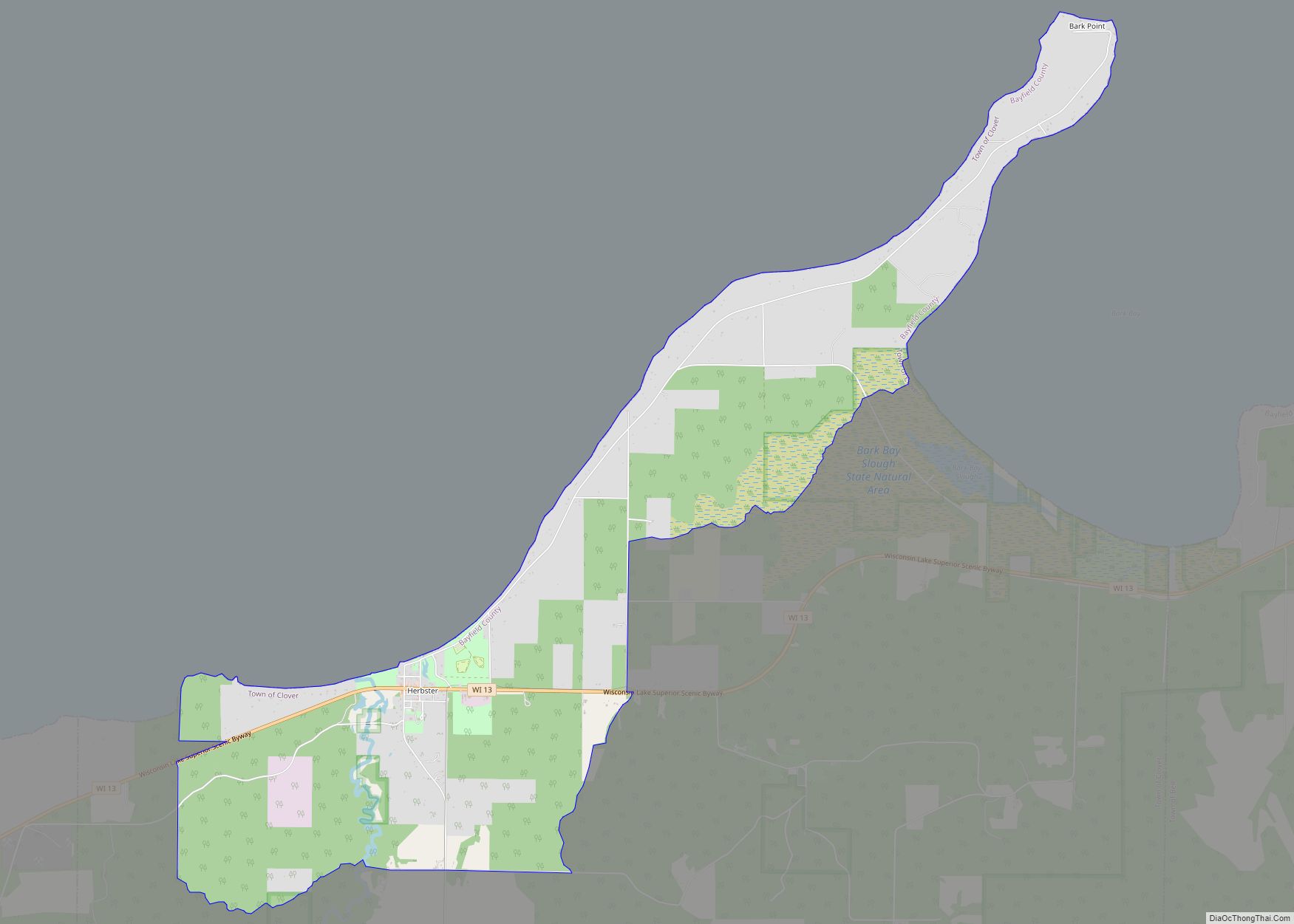
Map of Herbster CDP
Herbster is a census-designated place (CDP) in the Town of Clover in Bayfield County, Wisconsin, United States, located on the south shore of Lake Superior. Herbster is 7 miles (11 km) east of Port Wing and 8 miles (13 km) west of Cornucopia on Wisconsin Highway 13, the main route through the community. The primary north/south route ... Read more
Map of Herbster CDP
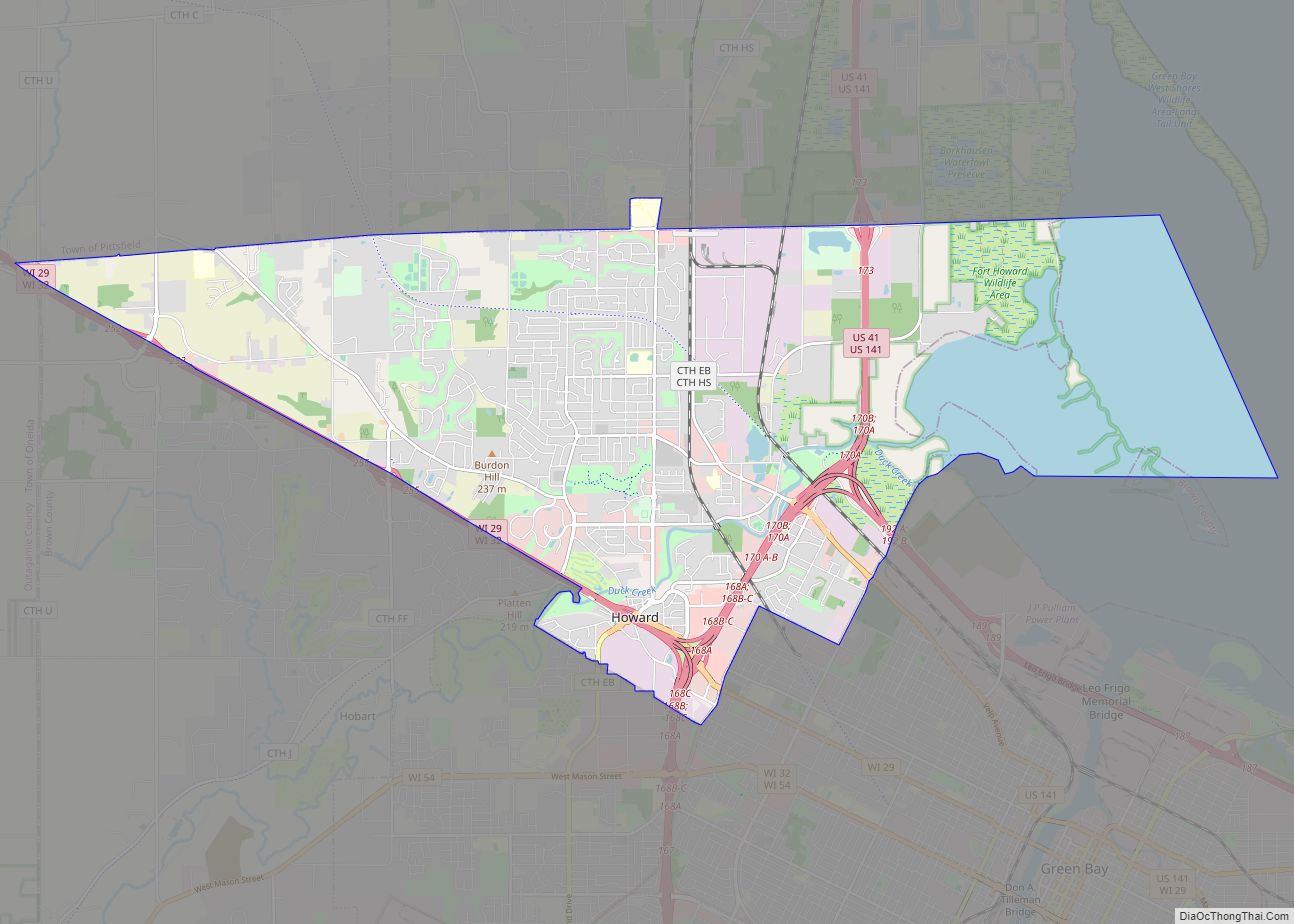
Map of Howard village, Wisconsin
Howard is a village in Brown and Outagamie counties in the U.S. state of Wisconsin. The population was 17,399 at the 2010 census. It is part of the Green Bay Metropolitan Statistical Area. The village is mostly within Brown County; a small portion extends west into Outagamie County. It is bordered to the east by ... Read more
Map of Howard village, Wisconsin
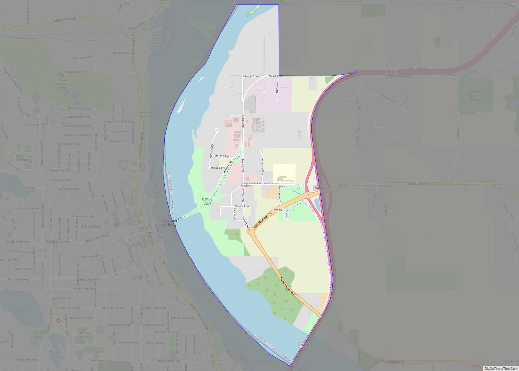
Map of Houlton CDP, Wisconsin
Houlton is an unincorporated census-designated place located in St. Croix County, Wisconsin, United States. Houlton is located across the St. Croix River from Stillwater, Minnesota, in the town of St. Joseph. Houlton has no post office but has been assigned the ZIP code 54082. As of the 2010 census, its population was 386. Houlton CDP ... Read more
Map of Houlton CDP, Wisconsin
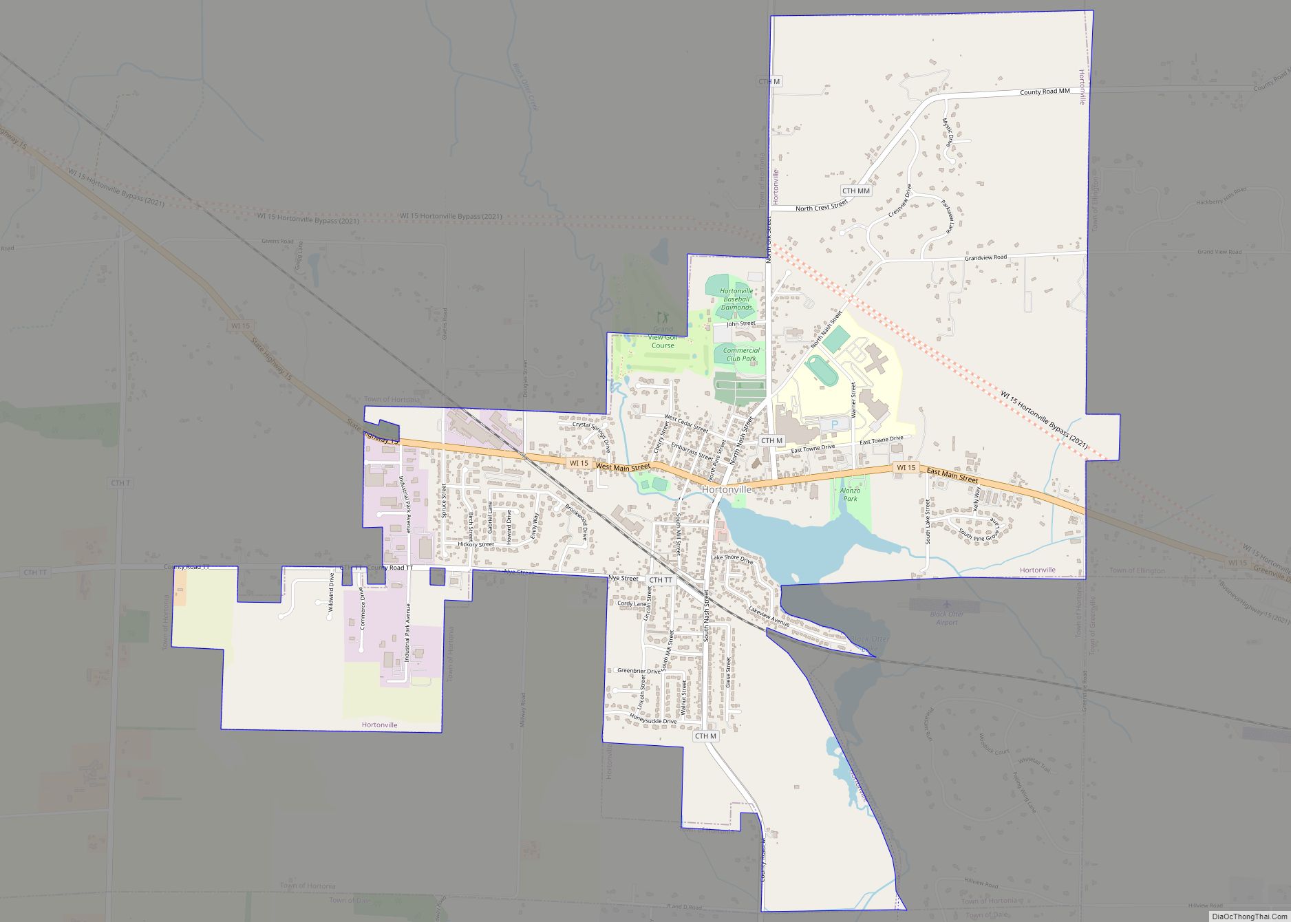
Map of Hortonville village, Wisconsin
Hortonville is a village in Outagamie County, Wisconsin, United States. The population was 2,711 at the 2010 census. Hortonville is located in the Fox Cities region and the Appleton-Oshkosh-Neenah, WI CSA, the third largest metropolitan area in Wisconsin. Hortonville village overview: Name: Hortonville village LSAD Code: 47 LSAD Description: village (suffix) State: Wisconsin County: Outagamie ... Read more
Map of Hortonville village, Wisconsin
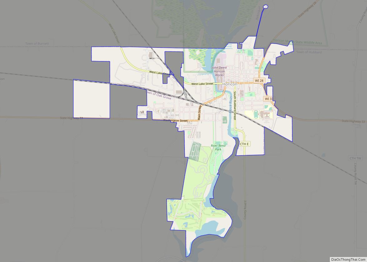
Map of Horicon city
Horicon is a city in Dodge County, Wisconsin, United States. The population was 3,655 at the 2010 census. Horicon city overview: Name: Horicon city LSAD Code: 25 LSAD Description: city (suffix) State: Wisconsin County: Dodge County Elevation: 879 ft (268 m) Total Area: 3.64 sq mi (9.42 km²) Land Area: 3.50 sq mi (9.05 km²) Water Area: 0.14 sq mi (0.37 km²) Total Population: 3,655 Population ... Read more
Map of Horicon city
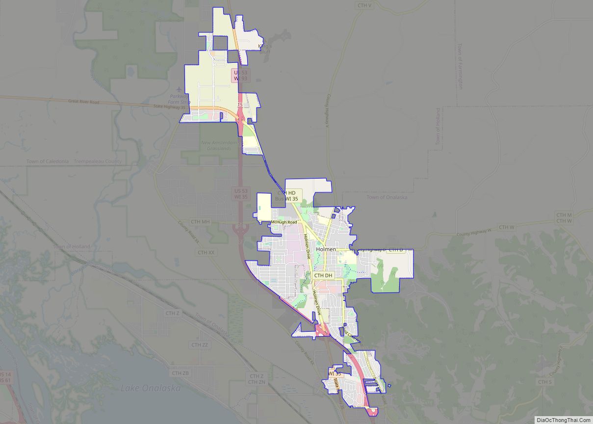
Map of Holmen village
Holmen is a village in La Crosse County, Wisconsin, United States. The population was 10,661 as of the census of 2020. It is part of the La Crosse-Onalaska, WI-MN Metropolitan Statistical Area. Holmen village overview: Name: Holmen village LSAD Code: 47 LSAD Description: village (suffix) State: Wisconsin County: La Crosse County Incorporated: May 7, 1946 ... Read more
Map of Holmen village
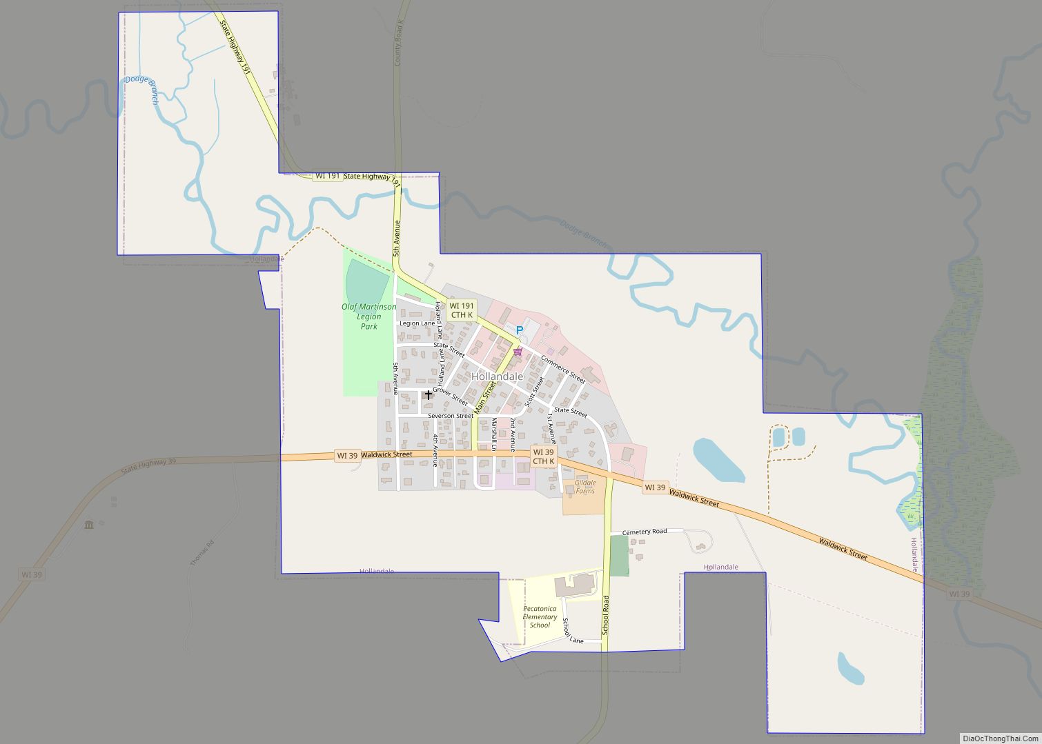
Map of Hollandale village, Wisconsin
Hollandale is a village in Iowa County, Wisconsin, United States. The population was 306 at the 2020 census. It is part of the Madison Metropolitan Statistical Area. Hollandale village overview: Name: Hollandale village LSAD Code: 47 LSAD Description: village (suffix) State: Wisconsin County: Iowa County Elevation: 889 ft (271 m) Total Area: 0.68 sq mi (1.75 km²) Land Area: 0.68 sq mi ... Read more
Map of Hollandale village, Wisconsin
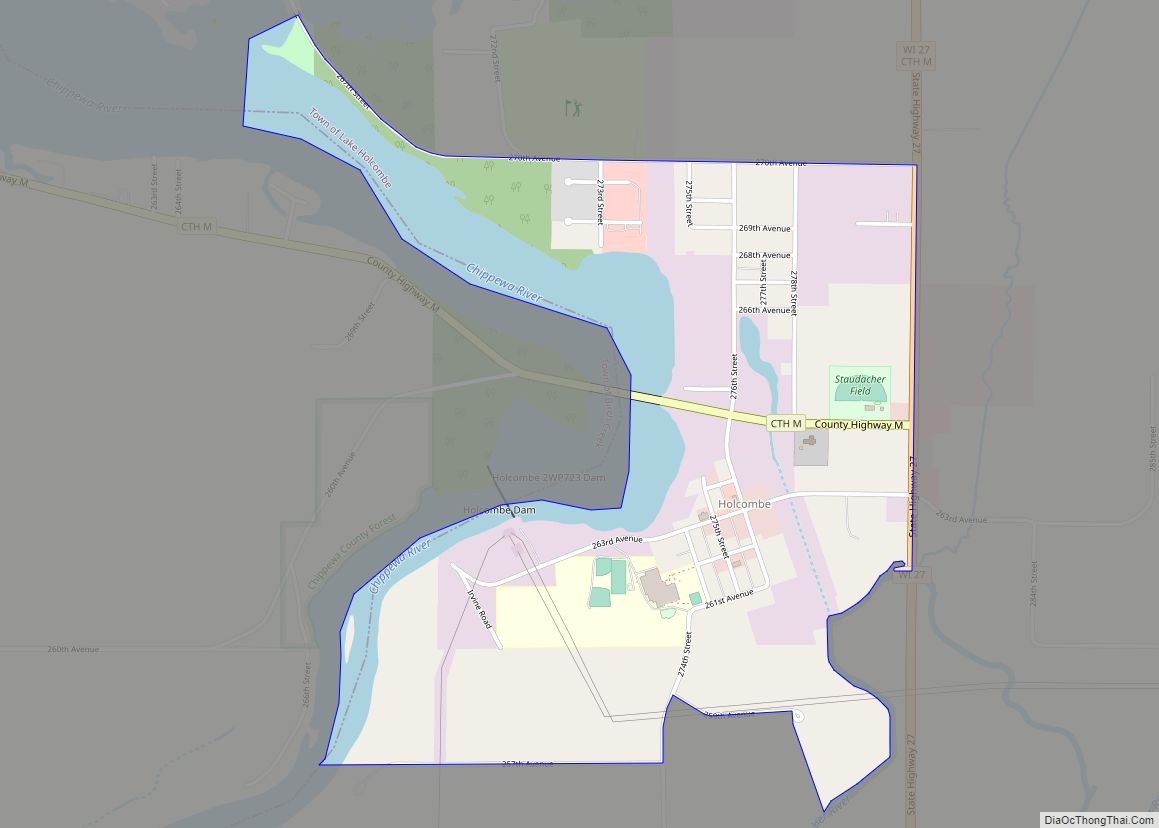
Map of Holcombe CDP
Holcombe is a census-designated place located in Chippewa County, Wisconsin, United States. Holcombe CDP overview: Name: Holcombe CDP LSAD Code: 57 LSAD Description: CDP (suffix) State: Wisconsin County: Chippewa County Elevation: 1,047 ft (319 m) Total Area: 0.967 sq mi (2.50 km²) Land Area: 0.967 sq mi (2.50 km²) Water Area: 0 sq mi (0 km²) Total Population: 267 Population Density: 280/sq mi (110/km²) ZIP code: 54745 ... Read more
Map of Holcombe CDP
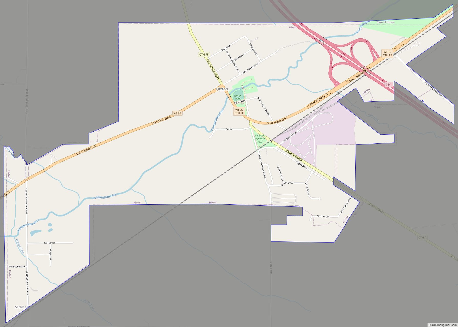
Map of Hixton village
Hixton is a town in Jackson County, Wisconsin, United States. The population was 611 at the 2000 census. The Village of Hixton is located within the town. The unincorporated community of Sechlerville is also located in the town. Hixton village overview: Name: Hixton village LSAD Code: 47 LSAD Description: village (suffix) State: Wisconsin County: Jackson ... Read more
Map of Hixton village
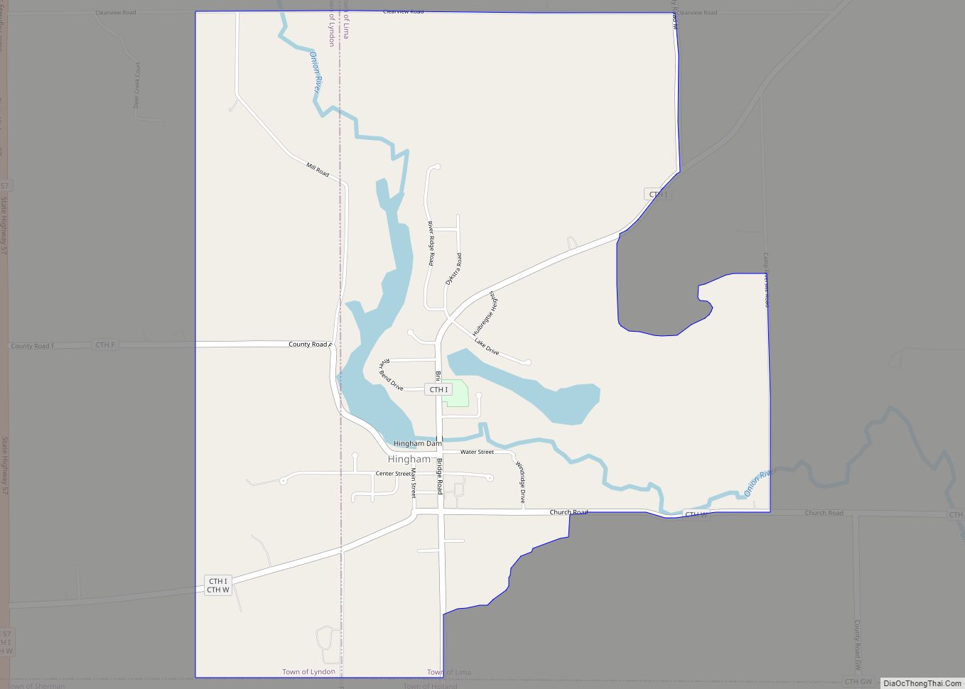
Map of Hingham CDP, Wisconsin
Hingham is an unincorporated census-designated place located in the town of Lima, in Sheboygan County, Wisconsin, United States, northeast of Adell and southeast of Waldo. It has a post office with ZIP code 53031. As of the 2010 census, its population was 886. Hingham CDP overview: Name: Hingham CDP LSAD Code: 57 LSAD Description: CDP ... Read more
Map of Hingham CDP, Wisconsin
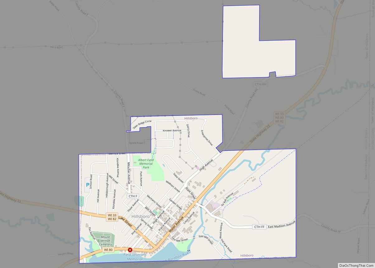
Map of Hillsboro city, Wisconsin
Hillsboro is a city in Vernon County, Wisconsin, United States. The population was 1,397 at the 2020 Census. The city is located within the Town of Hillsboro. Hillsboro is known as the Czech Capital of Wisconsin. Hillsboro city overview: Name: Hillsboro city LSAD Code: 25 LSAD Description: city (suffix) State: Wisconsin County: Vernon County Total ... Read more
Map of Hillsboro city, Wisconsin
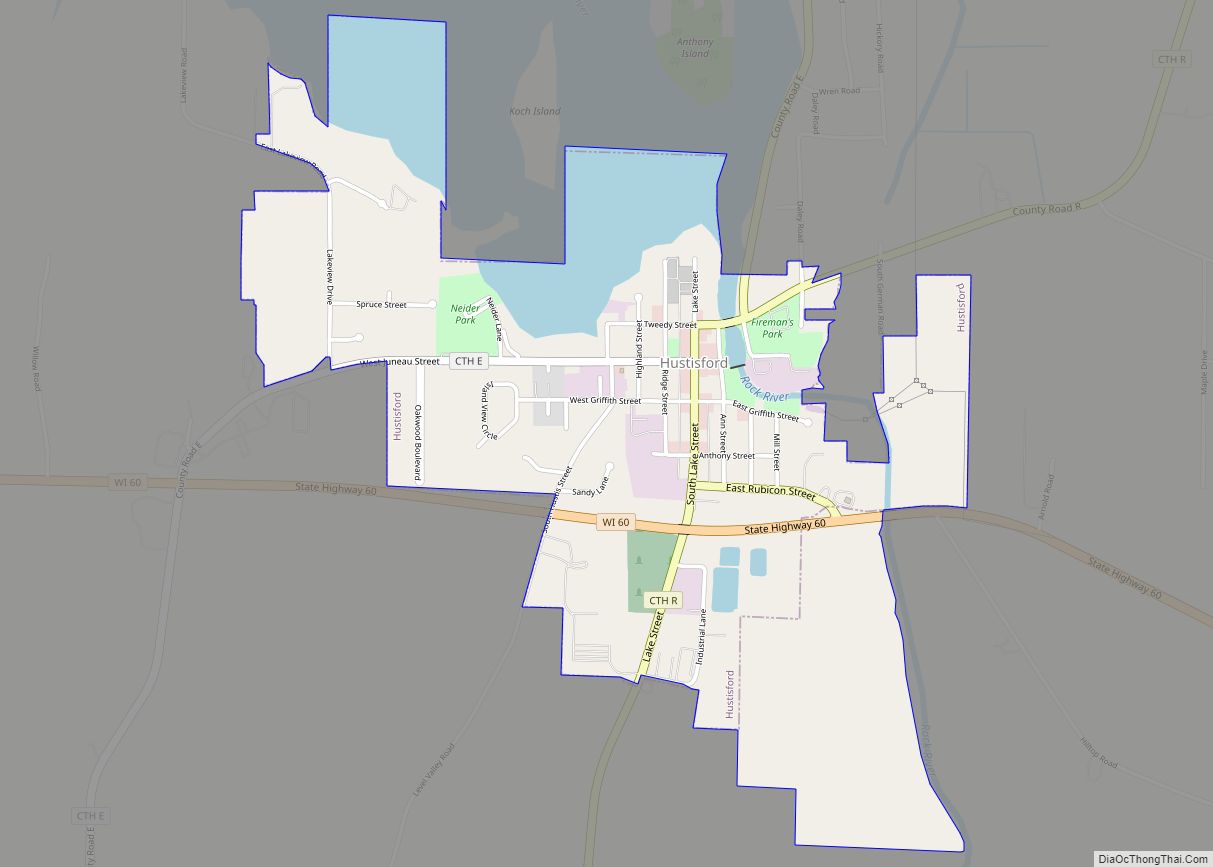
Map of Hustisford village
Hustisford is a town in Dodge County, Wisconsin, United States. The population was 1,379 at the 2000 census. Most of the town residents live in the village of Hustisford, within the town. Hustisford village overview: Name: Hustisford village LSAD Code: 47 LSAD Description: village (suffix) State: Wisconsin County: Dodge County Elevation: 846 ft (258 m) Total Area: ... Read more
Map of Hustisford village