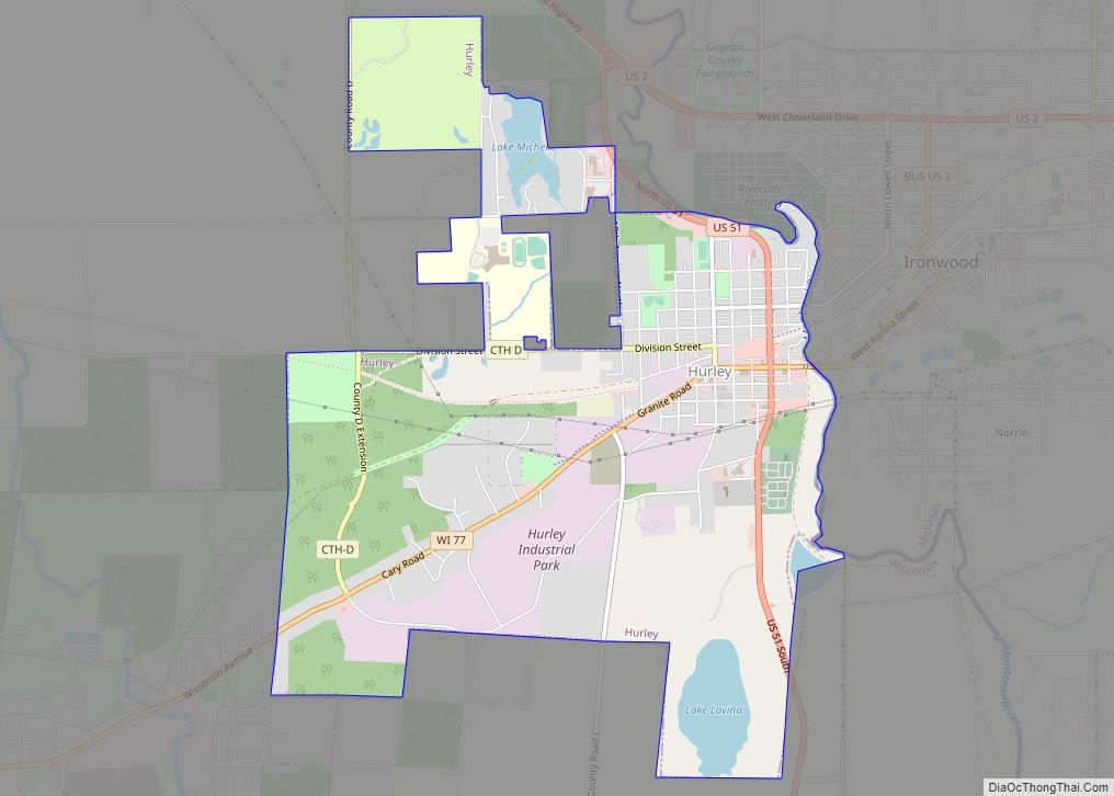
Hurley is a city in and the county seat of Iron County, Wisconsin, United States. The population was 1,547 at the 2010 census. It is located directly across the Montreal River from Ironwood, Michigan.
| Name: | Hurley city |
|---|---|
| LSAD Code: | 25 |
| LSAD Description: | city (suffix) |
| State: | Wisconsin |
| County: | Iron County |
| Elevation: | 1,496 ft (456 m) |
| Total Area: | 3.38 sq mi (8.76 km²) |
| Land Area: | 3.23 sq mi (8.37 km²) |
| Water Area: | 0.15 sq mi (0.39 km²) |
| Total Population: | 1,547 |
| Population Density: | 444.31/sq mi (171.56/km²) |
| Area code: | 715 & 534 |
| FIPS code: | 5536525 |
| GNISfeature ID: | 1566822 |
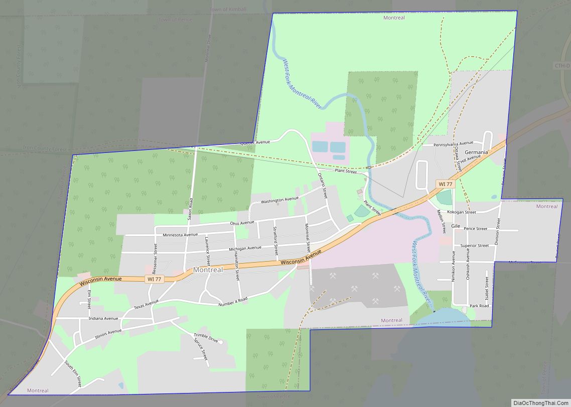
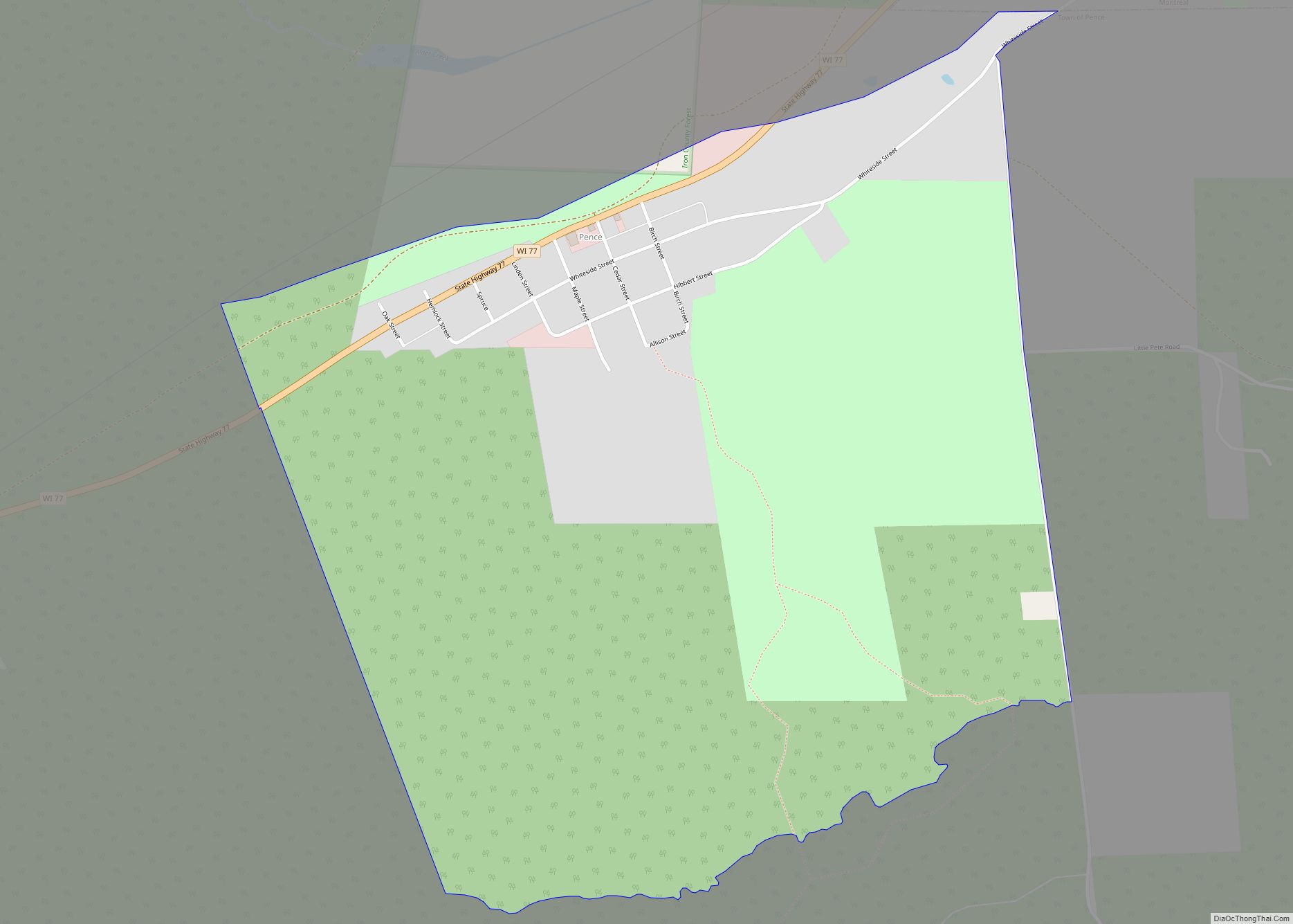
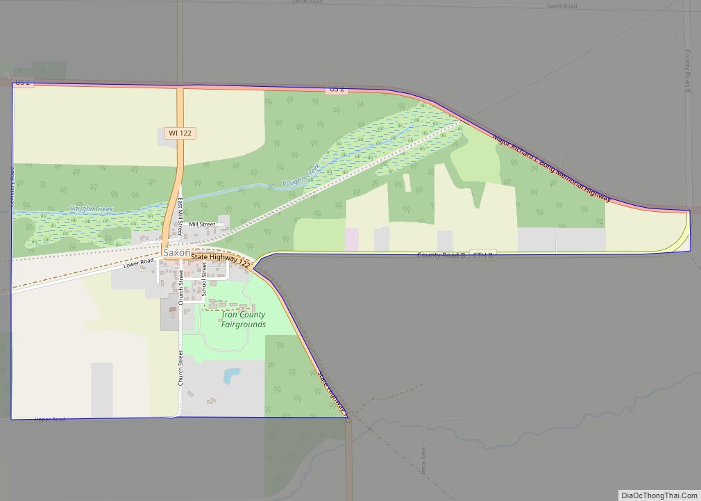
Online Interactive Map
Click on ![]() to view map in "full screen" mode.
to view map in "full screen" mode.
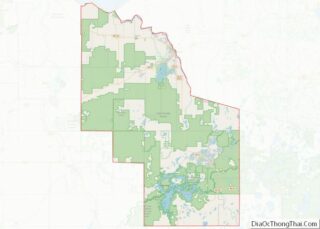
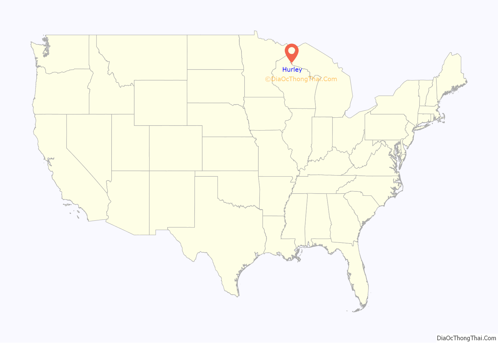
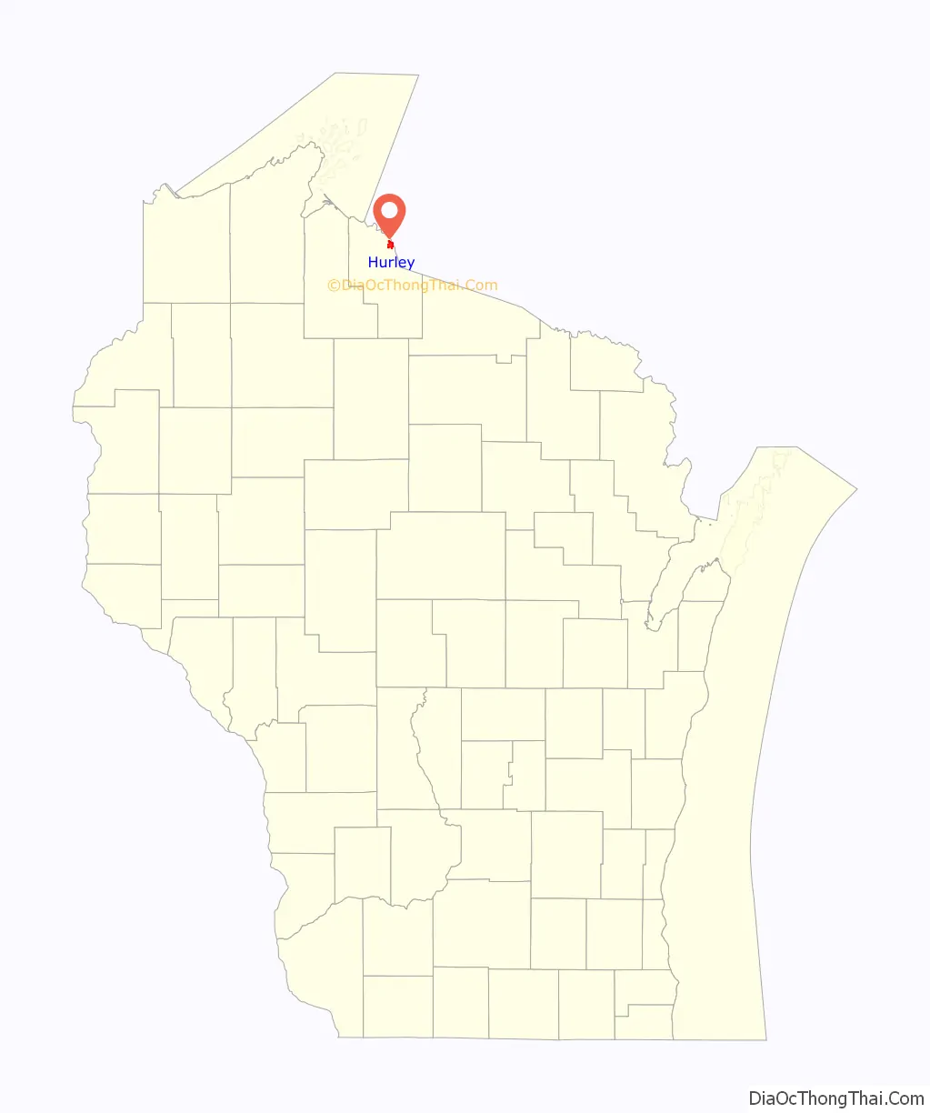
Hurley location map. Where is Hurley city?
History
Hurley is located on the Montreal River, the border between Wisconsin and the Upper Peninsula of Michigan. The city is on U.S. Highway 2 (US 2), and is the northern terminus of US 51, and is about 18 miles (29 km) south of Lake Superior. Hurley had its origins in the iron mining and lumbering booms of the 1880s. The city is located, along with adjacent Ironwood, Michigan, at the center of the Gogebic Range. The economy of Hurley, together with the city of Montreal in Wisconsin, and the cities of Ironwood, Bessemer and Wakefield in Michigan, was dependent upon the extraction of iron ore from the Gogebic (a/k/a Penokee) Range during the 19th and 20th centuries.
Hurley took its name from Canadian-born M. A. Hurley, a prominent attorney of Wausau who won a lawsuit for the Northern Chief Iron Company in 1884. The compensation for winning the lawsuit was that he asked for no fee, but only requested that the town involved in the case be named after him. M.A. Hurley held stock in the Northern Chief Iron Company. The full name “Glen Hurley” was used for one year, but in 1885, the first name was dropped and the community became known as Hurley. The first Plat Map of Glen Hurley was recorded in the Ashland County Register of Deeds by C.N. Nutter, surveyor for the Northern Chief Iron Company of Wausau, in December 1884.
Hurley did not become a city until April 1918. Previously, it was part of the town of Vaughn, named after Samuel S. Vaughn, pioneer resident of Ashland, for whom the Vaughn Public Library is named. When the city of Hurley was created, the town of Vaughn was dissolved and divided among the City of Hurley, the Town of Oma (Finnish for “Our Own”), the Town of Carey, and the Town of Kimball.
Henry Meade was the first mayor of Hurley.
John Ankers opened Hurley’s first saloon and served as the first clerk for the Town of Vaughn, first Justice of the Peace, and first fire chief.
In early November 1887, ten people were killed in a fire that started in a three-story theater and spread to other structures.
The Gogebic Range Directory of 1888 states: “During the past summer, Hurley was twice visited by terrible fires. The first occurred of June 28 and the second on July 9. These destroyed almost the entire business portion of the city, and at first it was thought that they would prove a crushing blow to its prosperity, but later events have proven that they were blessings in disguise. The wonderful pluck and energy of its businessmen were fully demonstrated when they at once began the erection of fine brick buildings in the place of the wooden ones destroyed. The result has been that the burned portion has been rebuilt with brick and stone, making them nearly fireproof. And Silver Street is one that a much larger city could well be proud of.”
Boundary dispute
Hurley was at the center of a boundary dispute between Michigan and Wisconsin, culminating in a United States Supreme Court case in 1926, confirming Hurley belonging to Wisconsin. The Montreal River was mapped in detail in 1841 by Lieutenant Thomas Jefferson Cram of the United States Land Office Department of Topography. Cram was assigned by Congress to survey the northeast boundary between Michigan and Wisconsin. This boundary had been originally outlined by Congress in 1834 on the basis of the faulty maps of the time which incorrectly showed both the Montreal and Menominee rivers originating from the Lac Vieux Desert in Vilas County. After a detailed survey, Cram located the headwaters of the Montreal 55 miles west of Lac Vieux Desert, and recommended the boundary line be run from the center of the lake to the headwaters of the Montreal. Michigan brought suit against Wisconsin to correct the boundary line between the two states. Michigan’s claim included the City of Hurley and its valuable mineral deposits. Michigan’s lawsuit, Michigan v. Wisconsin (270 U.S. 295, 1926), was dismissed by the US Supreme Court on the grounds that Wisconsin’s long continued possession of the disputed property was acquiesced in by Michigan (P. 270, U.S. 301).
Prohibition
Hurley was a known gangster resort haven for mobsters in the twenties and thirties. According to an article in The Wisconsin Magazine of History, Hurley was the most infamous town in Wisconsin during Prohibition. “Hurley: a notorious northern Wisconsin city with a long history of vice. Prohibition agents staged massive raids on Hurley, but each time the saloonkeepers paid their fines and went back to their usual business. On December 27, 1926, federal agents padlocked twenty-nine Hurley saloons in a single day. A 1931 raid closed forty-two saloons, resulting in the arrest of sixty people- or out of every forty Hurley residents. In an economy dependent on revenues from drinking, gambling, and prostitution, local officers looked the other way and the city continued its business with routine harassment by enforcement officials. By 1929 federal officials were afoot in Wisconsin to access changing conditions. Prohibition investigator Frank Buckley was most aghast at what he found during a visit to Hurley. He commented that Hurley ‘has the distinction of being the worst community in the State….Gambling, prostitution, bootlegging, and dope are about the chief occupations of the place. Saloons there function with barmaids who serve the dual capacity of soda dispenser and prostitute.'”
Historic locations
The Old Iron County Courthouse (now the Iron County Historical Museum) was designed in the Richardsonian-Romanesque style by architect L.H. Ruggles. The building was completed in 1893 by contractors Rinkle and Carroll at a cost of $27,303. The original clock in the tower was installed by Chicago jeweler J.J. Neuhavre. Lightning struck the clock tower in June 1922 and set the tower ablaze. The original clock was destroyed and was replaced by an electric Seth Thomas clock at a cost of $1,348. The building served as the county courthouse until 1975. In 1977, it was sold to the Iron County Historical Society for $1. It has been listed on the National Register for Historic Places since 1977. It was considered “architecturally significant in an area where there are few comparable buildings.” The building currently houses the Iron County Historical Museum, which features three floors of exhibits and a weaving room where volunteers use looms to make rag rugs.
The Iron Exchange Bank of Hurley, was the oldest bank of the Gogebic Range. It was organized on November 26, 1885. Dr. J.C. Reynolds, the bank’s first president, and his brother, W. S. Reynolds, the bank’s first cashier, were the prime movers in the organization of the institution. Associated with them in the organization were John E. Burton, Alvin E. Tyler, Edward Ryan, Nathaniel J. Moore, James A. Wood, and Shepherd Homans, all men prominent in the mining industry in the area in the early days.
The first newspaper in Hurley was the Montreal River Miner which was first published on October 8, 1885. After absorbing the Iron County News in 1950 the two papers names were merged to form the Iron County Miner, which is still published as a weekly. La Nostra Terra (“Our Land”), an Italian language newspaper, was published in Hurley from 1904 to 1913, when it merged into the Iron County News.
The first hotel was located at the corner of Second Avenue and Silver Street in a log building, with James Guest as the first landlord.
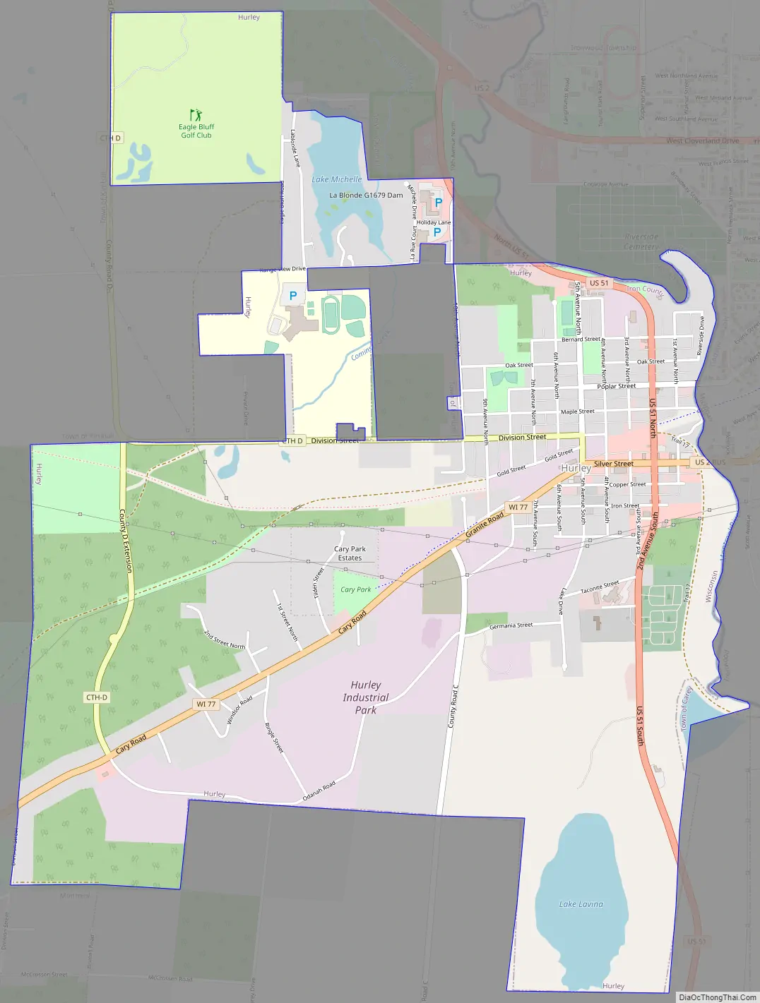
Hurley Road Map
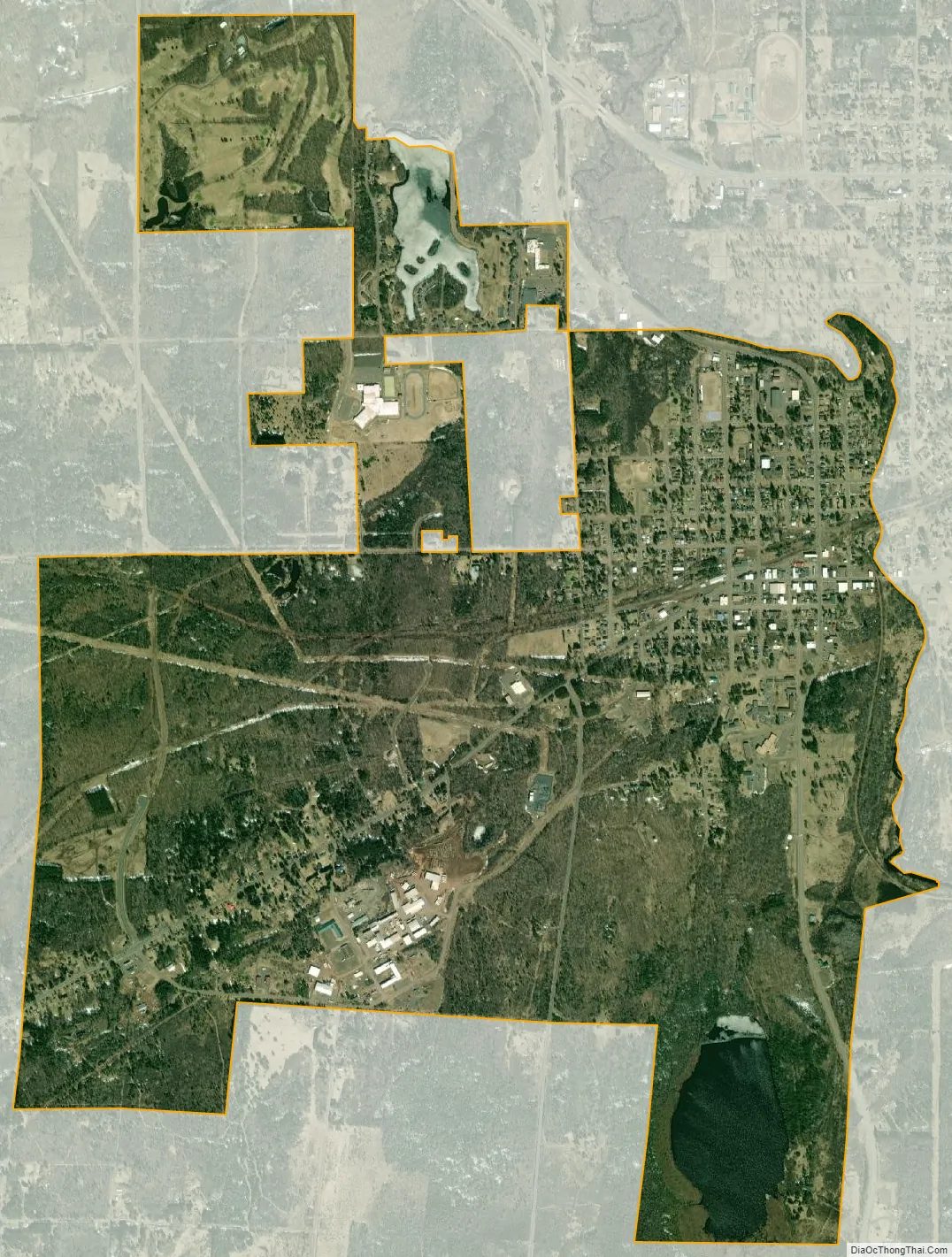
Hurley city Satellite Map
Geography
Hurley is located at 46°27′1″N 90°11′23″W / 46.45028°N 90.18972°W / 46.45028; -90.18972 (46.450361, -90.189802).
According to the United States Census Bureau, the city has a total area of 3.58 square miles (9.27 km), of which 3.42 square miles (8.86 km) is land and 0.16 square miles (0.41 km) is water.
It is across the state border and the Montreal River from Ironwood, Michigan, both cities located on the Gogebic Range.
See also
Map of Wisconsin State and its subdivision:- Adams
- Ashland
- Barron
- Bayfield
- Brown
- Buffalo
- Burnett
- Calumet
- Chippewa
- Clark
- Columbia
- Crawford
- Dane
- Dodge
- Door
- Douglas
- Dunn
- Eau Claire
- Florence
- Fond du Lac
- Forest
- Grant
- Green
- Green Lake
- Iowa
- Iron
- Jackson
- Jefferson
- Juneau
- Kenosha
- Kewaunee
- La Crosse
- Lafayette
- Lake Michigan
- Lake Superior
- Langlade
- Lincoln
- Manitowoc
- Marathon
- Marinette
- Marquette
- Menominee
- Milwaukee
- Monroe
- Oconto
- Oneida
- Outagamie
- Ozaukee
- Pepin
- Pierce
- Polk
- Portage
- Price
- Racine
- Richland
- Rock
- Rusk
- Saint Croix
- Sauk
- Sawyer
- Shawano
- Sheboygan
- Taylor
- Trempealeau
- Vernon
- Vilas
- Walworth
- Washburn
- Washington
- Waukesha
- Waupaca
- Waushara
- Winnebago
- Wood
- Alabama
- Alaska
- Arizona
- Arkansas
- California
- Colorado
- Connecticut
- Delaware
- District of Columbia
- Florida
- Georgia
- Hawaii
- Idaho
- Illinois
- Indiana
- Iowa
- Kansas
- Kentucky
- Louisiana
- Maine
- Maryland
- Massachusetts
- Michigan
- Minnesota
- Mississippi
- Missouri
- Montana
- Nebraska
- Nevada
- New Hampshire
- New Jersey
- New Mexico
- New York
- North Carolina
- North Dakota
- Ohio
- Oklahoma
- Oregon
- Pennsylvania
- Rhode Island
- South Carolina
- South Dakota
- Tennessee
- Texas
- Utah
- Vermont
- Virginia
- Washington
- West Virginia
- Wisconsin
- Wyoming