Map of Deep Water CDP
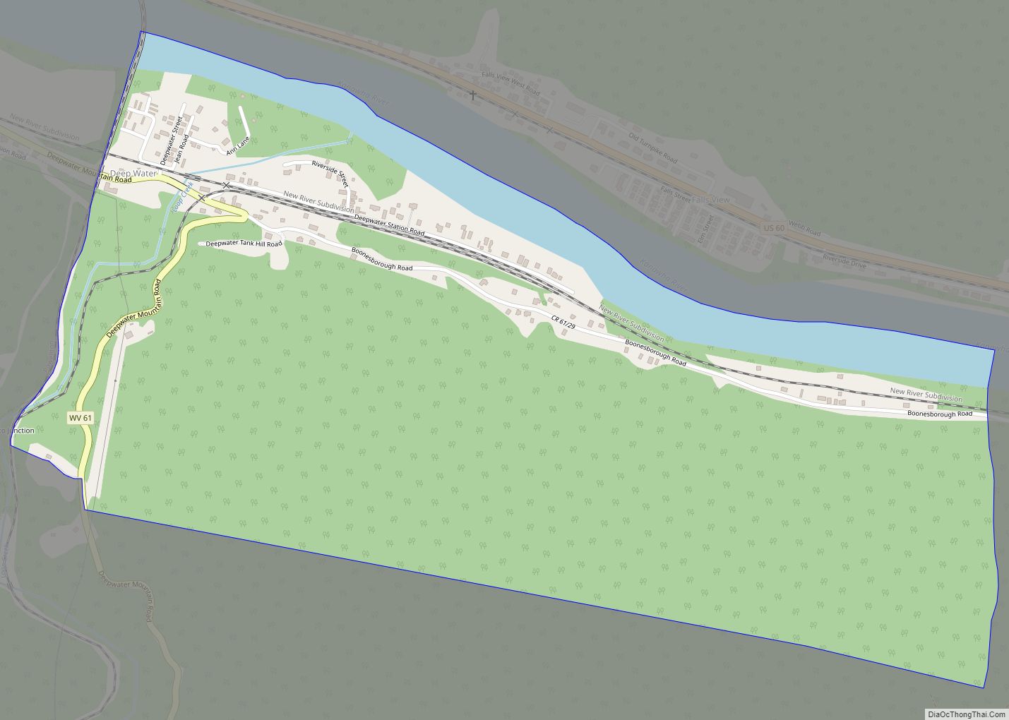
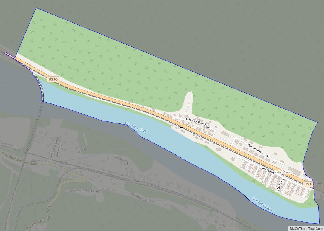
Deep Water, also known historically as Deepwater, is a census-designated place on the Kanawha River in Fayette County, West Virginia, United States. As of the 2010 census, its population was 280. It is best known as the starting point of the Deepwater Railway founded in 1898 by William N. Page, which was merged to create ... Read more
Map of Deep Water CDP
Map of Davis town, West Virginia
Davis is a town in Tucker County, West Virginia, United States, situated along the Blackwater River. The population was 595 at the 2020 census. Davis town overview: Name: Davis town LSAD Code: 43 LSAD Description: town (suffix) State: West Virginia County: Tucker County Elevation: 3,100 ft (945 m) Total Area: 1.83 sq mi (4.74 km²) Land Area: 1.83 sq mi (4.74 km²) Water ... Read more
Map of Davis town, West Virginia
Map of Elkview CDP
Elkview is a census-designated place (CDP) in Kanawha County, West Virginia, United States. The population was 1,222 at the 2010 census. It is named after the Elk River, which flows into the Kanawha River. Interstate 79, the “Jennings Randolph Expressway”, provides highway access to Elkview from exit 9. U.S. Route 119 also reaches Elkview. A ... Read more
Map of Elkview CDP
Map of Follansbee city
Follansbee is a city in Brooke County, West Virginia, United States, located along the Ohio River. The population was 2,853 at the 2020 census, a decrease from 2,986 at the 2010 census. It is part of the Weirton–Steubenville metropolitan area. The city was named after the Follansbee brothers, the proprietors of a local steel mill. ... Read more
Map of Follansbee city
Map of Flemington town, West Virginia
Flemington is a town in Taylor County, West Virginia, United States. The population was 311 at the 2020 census. Flemington was incorporated in 1922 by the West Virginia Circuit Court, and named for James Fleming, an early settler in the area originally from Hampshire County. Flemington town overview: Name: Flemington town LSAD Code: 43 LSAD ... Read more
Map of Flemington town, West Virginia
Map of Elizabeth town, West Virginia
Elizabeth is a town in and the county seat of Wirt County, West Virginia, United States, situated along the Little Kanawha River. The population was 724 as of the 2020 census. Elizabeth town overview: Name: Elizabeth town LSAD Code: 43 LSAD Description: town (suffix) State: West Virginia County: Wirt County Elevation: 646 ft (197 m) Total Area: ... Read more
Map of Elizabeth town, West Virginia
Map of Flatwoods town, West Virginia
Flatwoods is a town in Braxton County, West Virginia, United States, located approximately one mile from exit 67 of Interstate 79. The population of Flatwoods was 264 as of the 2020 census. Flatwoods town overview: Name: Flatwoods town LSAD Code: 43 LSAD Description: town (suffix) State: West Virginia County: Braxton County Incorporated: 1901; 122 years ago (1901) ... Read more
Map of Flatwoods town, West Virginia
Map of Eleanor town
Eleanor is a town in Putnam County, West Virginia, United States, along the Kanawha River. Its population was 1,548 at the 2020 census. It is part of the Huntington–Ashland metropolitan area. The town, named for Eleanor Roosevelt, was established as a New Deal project in the 1930s like other Franklin D. Roosevelt towns around the ... Read more
Map of Eleanor town
Map of Falls View CDP
Falls View is a census-designated place (CDP) in Fayette County, West Virginia, United States. Falls View is located 4 miles (6.4 km) southwest of Gauley Bridge, on the north bank of the Kanawha River. As of the 2010 census, its population was 238. Falls View was established in the early 20th century as a residential village ... Read more
Map of Falls View CDP
Map of Falling Waters CDP
Falling Waters is a census-designated place (CDP) on the Potomac River in Berkeley County, West Virginia, United States. It is located along Williamsport Pike (US 11) north of Martinsburg. According to the 2010 census, Falling Waters has a population of 876. An 1887 Scientific American article claimed that the first U.S. railroad was built in ... Read more
Map of Falling Waters CDP
Map of Fairlea CDP
Fairlea is a census-designated place (CDP) in Greenbrier County, West Virginia, United States. The population was 1,747 at the 2010 census. Fairlea is the location of the annual West Virginia State Fair, held in August. Fairlea CDP overview: Name: Fairlea CDP LSAD Code: 57 LSAD Description: CDP (suffix) State: West Virginia County: Greenbrier County Elevation: ... Read more
Map of Fairlea CDP
Map of Ellenboro town, West Virginia
Ellenboro is a town in Ritchie County, West Virginia, United States. The population was 222 at the 2020 census. The town is located at the junction of U.S. Route 50 and West Virginia Route 16; the North Bend Rail Trail also passes through the town. The town was named for Ellen Mariah Williamson, the eldest ... Read more
Map of Ellenboro town, West Virginia