Elkview is a census-designated place (CDP) in Kanawha County, West Virginia, United States. The population was 1,222 at the 2010 census. It is named after the Elk River, which flows into the Kanawha River.
Interstate 79, the “Jennings Randolph Expressway”, provides highway access to Elkview from exit 9. U.S. Route 119 also reaches Elkview. A shopping center was built off I-79, which includes a La Quinta Inns and Suites, Kroger,and several fast food restaurants. Hundreds of people were stranded at this shopping center during the 2016 West Virginia flood, as the bridge leading to it from the interstate was washed away.
This small town is nestled between the larger town of Clendenin, and the municipality of Kanawha County, Charleston.
| Name: | Elkview CDP |
|---|---|
| LSAD Code: | 57 |
| LSAD Description: | CDP (suffix) |
| State: | West Virginia |
| County: | Kanawha County |
| Elevation: | 604 ft (184 m) |
| Total Area: | 1.8 sq mi (4.6 km²) |
| Land Area: | 1.7 sq mi (4.4 km²) |
| Water Area: | 0.1 sq mi (0.2 km²) |
| Total Population: | 1,222 |
| Population Density: | 680/sq mi (270/km²) |
| ZIP code: | 25071 |
| Area code: | 304 |
| FIPS code: | 5424748 |
| GNISfeature ID: | 1554387 |
Online Interactive Map
Click on ![]() to view map in "full screen" mode.
to view map in "full screen" mode.
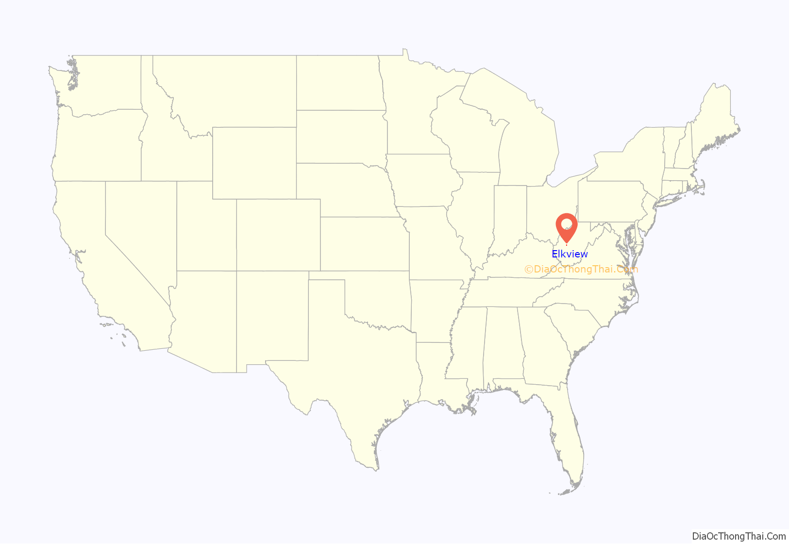
Elkview location map. Where is Elkview CDP?
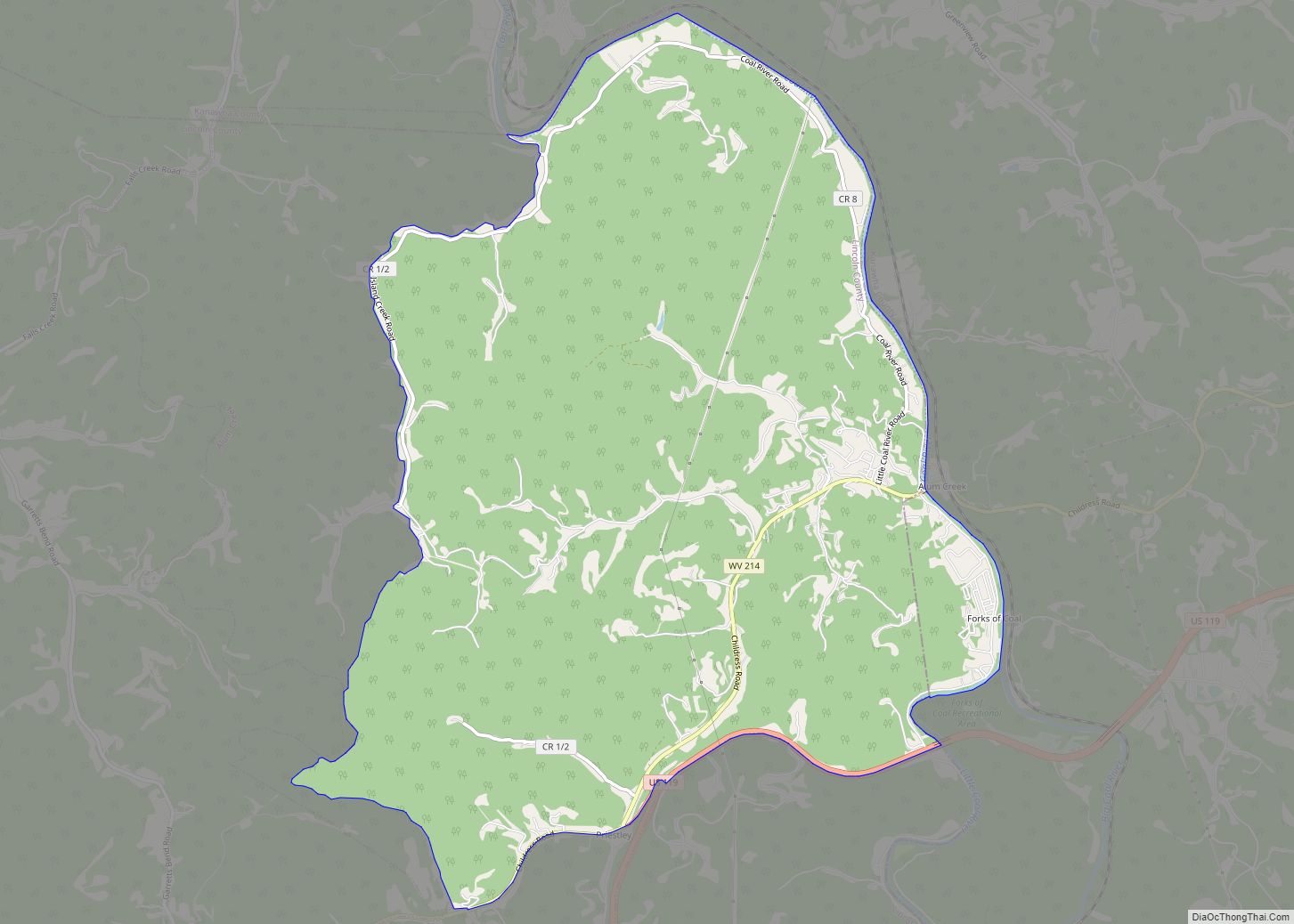
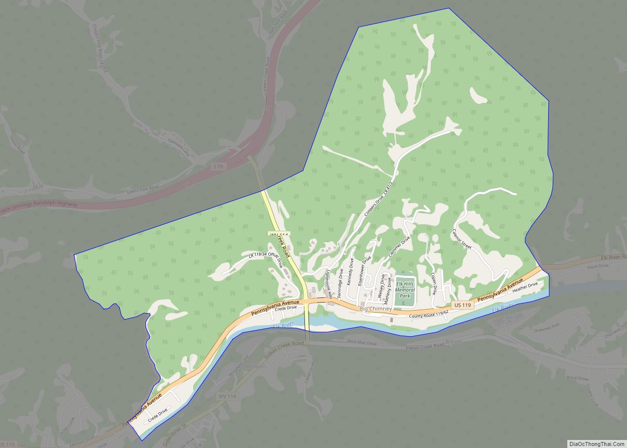
Elkview Road Map
Elkview city Satellite Map
Geography
Elkview is located at 38°26′16″N 81°28′55″W / 38.43778°N 81.48194°W / 38.43778; -81.48194 (38.437810, -81.482007), twelve miles east of Charleston.
According to the United States Census Bureau, the Elkview CDP has a total area of 1.8 square miles (4.6 km), of which 1.7 square miles (4.4 km) is land and 0.1 square mile (0.2 km) (4.49%) is water.
See also
Map of West Virginia State and its subdivision:- Barbour
- Berkeley
- Boone
- Braxton
- Brooke
- Cabell
- Calhoun
- Clay
- Doddridge
- Fayette
- Gilmer
- Grant
- Greenbrier
- Hampshire
- Hancock
- Hardy
- Harrison
- Jackson
- Jefferson
- Kanawha
- Lewis
- Lincoln
- Logan
- Marion
- Marshall
- Mason
- McDowell
- Mercer
- Mineral
- Mingo
- Monongalia
- Monroe
- Morgan
- Nicholas
- Ohio
- Pendleton
- Pleasants
- Pocahontas
- Preston
- Putnam
- Raleigh
- Randolph
- Ritchie
- Roane
- Summers
- Taylor
- Tucker
- Tyler
- Upshur
- Wayne
- Webster
- Wetzel
- Wirt
- Wood
- Wyoming
- Alabama
- Alaska
- Arizona
- Arkansas
- California
- Colorado
- Connecticut
- Delaware
- District of Columbia
- Florida
- Georgia
- Hawaii
- Idaho
- Illinois
- Indiana
- Iowa
- Kansas
- Kentucky
- Louisiana
- Maine
- Maryland
- Massachusetts
- Michigan
- Minnesota
- Mississippi
- Missouri
- Montana
- Nebraska
- Nevada
- New Hampshire
- New Jersey
- New Mexico
- New York
- North Carolina
- North Dakota
- Ohio
- Oklahoma
- Oregon
- Pennsylvania
- Rhode Island
- South Carolina
- South Dakota
- Tennessee
- Texas
- Utah
- Vermont
- Virginia
- Washington
- West Virginia
- Wisconsin
- Wyoming
