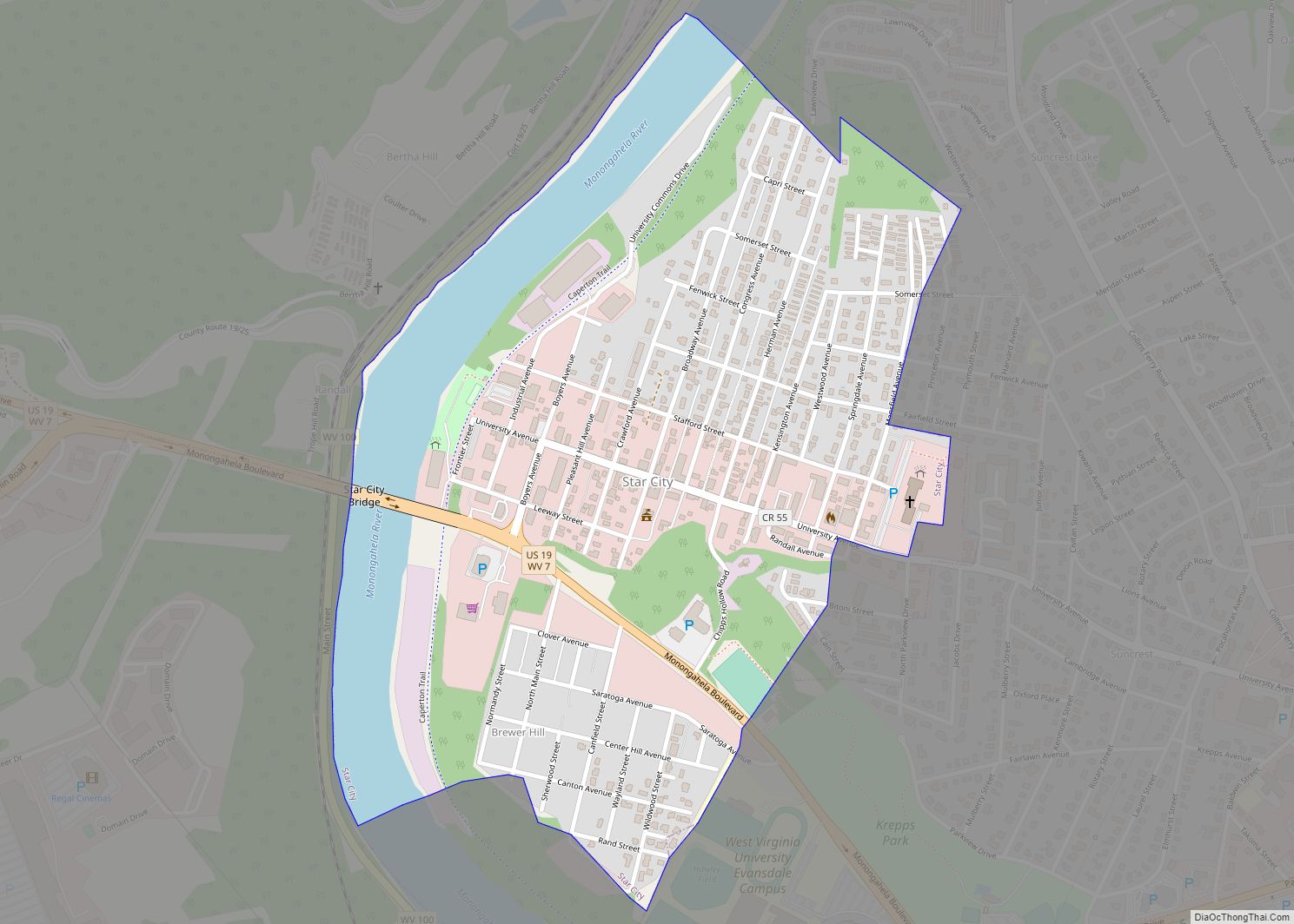
Star City is a town in Monongalia County, West Virginia, United States. The population was 1,779 at the 2020 census. It is included in the Morgantown, West Virginia Metropolitan Statistical Area. Star City town overview: Name: Star City town LSAD Code: 43 LSAD Description: town (suffix) State: West Virginia County: Monongalia County Elevation: 955 ft (291 m) ... Read more
Map of US Cities and Places
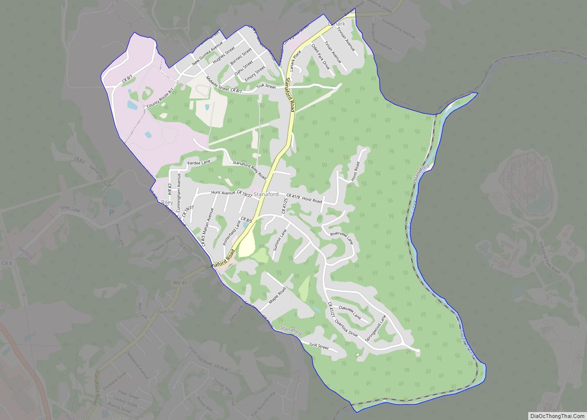
Stanaford is a census-designated place (CDP) and coal town in Raleigh County, West Virginia, United States. The population was 1,350 at the 2010 census. The community was named after nearby Stanaford Branch. Stanaford CDP overview: Name: Stanaford CDP LSAD Code: 57 LSAD Description: CDP (suffix) State: West Virginia County: Raleigh County Elevation: 2,402 ft (732 m) Total ... Read more
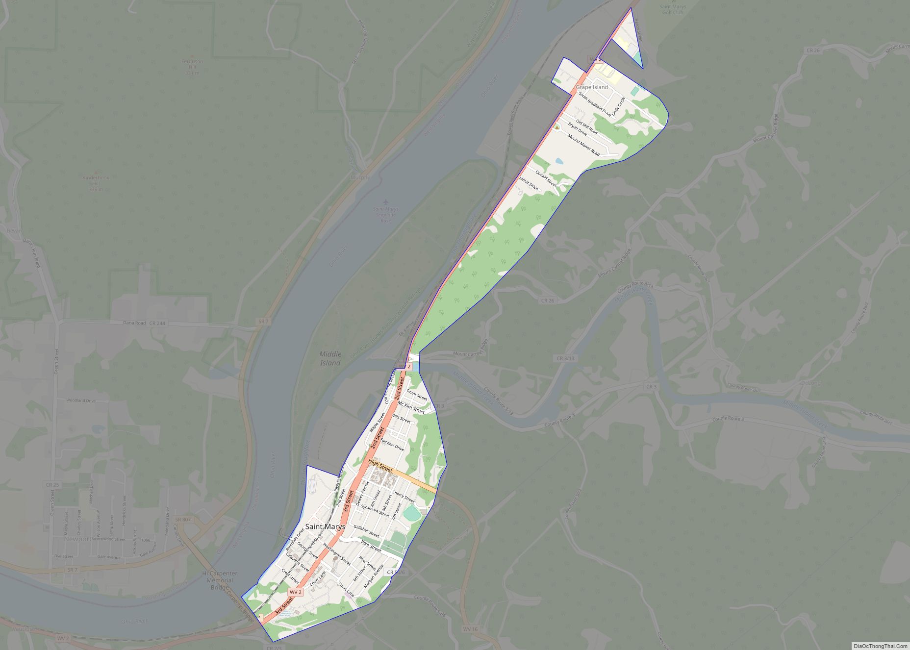
St. Marys is a city and the county seat of Pleasants County, West Virginia, United States. The population was 1,847 at the 2020 census. It is part of the Parkersburg–Vienna metropolitan area. St. Marys was established in 1849 by Alexander Creel, who is said to have had a vision of Mary while passing the townsite ... Read more
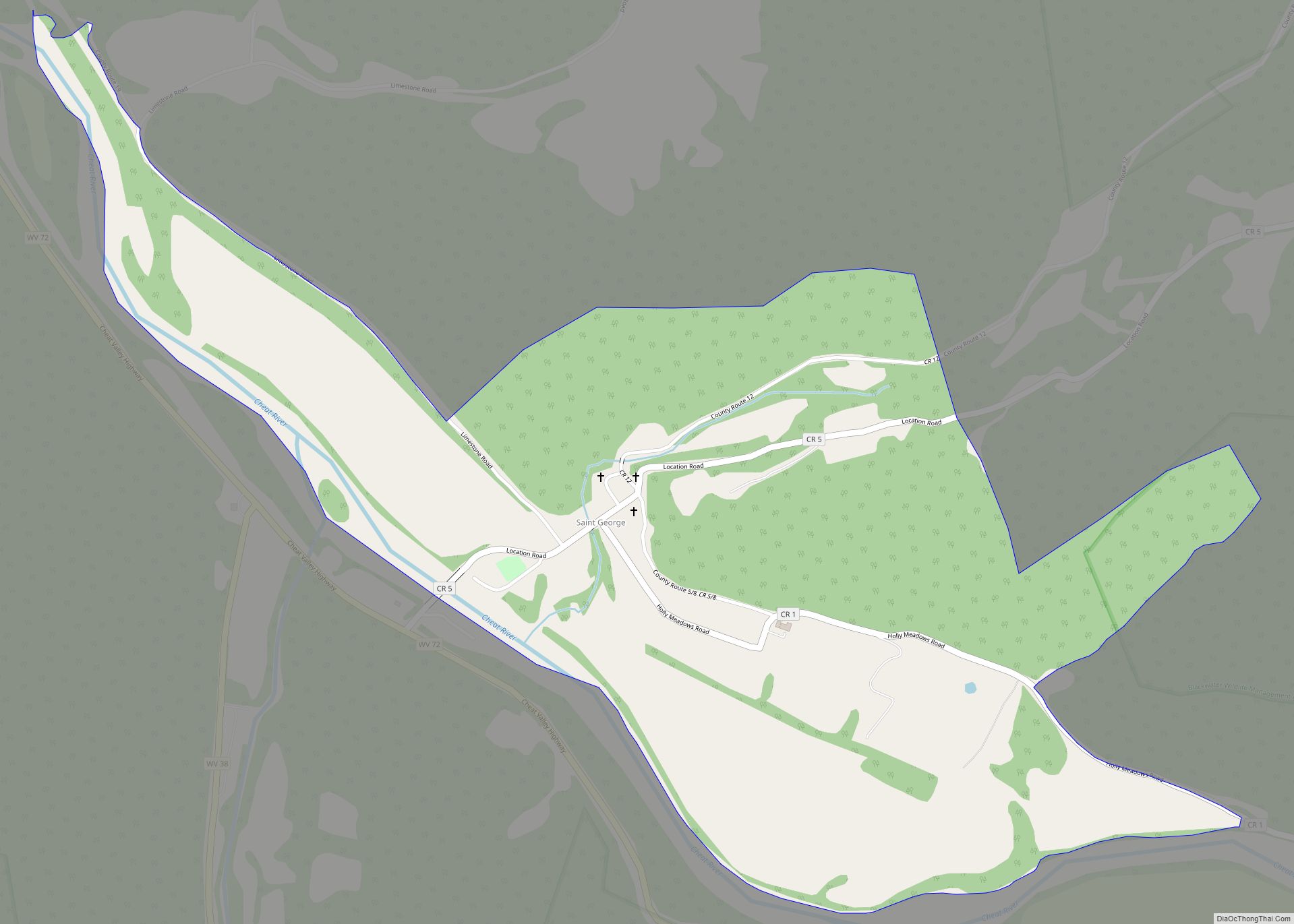
St. George CDP overview: Name: St. George CDP LSAD Code: 57 LSAD Description: CDP (suffix) State: West Virginia FIPS code: 5471284 Online Interactive Map St. George online map. Source: Basemap layers from Google Map, Open Street Map (OSM), Arcgisonline, Wmflabs. Boundary Data from Database of Global Administrative Areas. St. George location map. Where is St. ... Read more
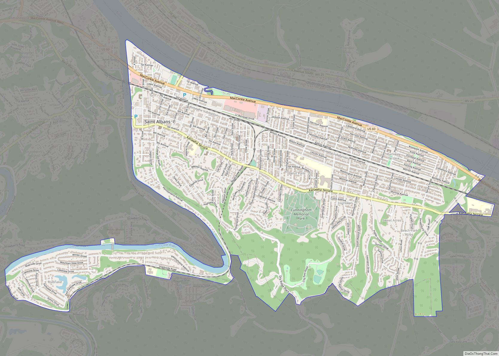
St. Albans is a city in western Kanawha County, West Virginia, United States, at the confluence of the Kanawha and Coal rivers. The population was 10,861 at the 2020 census. It is part of the Charleston metropolitan area. St. Albans city overview: Name: St. Albans city LSAD Code: 25 LSAD Description: city (suffix) State: West ... Read more
Springfield is a census-designated place (CDP) in northwestern Hampshire County in the U.S. state of West Virginia. As of the 2010 census, Springfield had a population of 477. Springfield is located north of Romney along West Virginia Route 28 at its junction with Green Spring Road (West Virginia Secondary Route 1) and Springfield Pike (West ... Read more
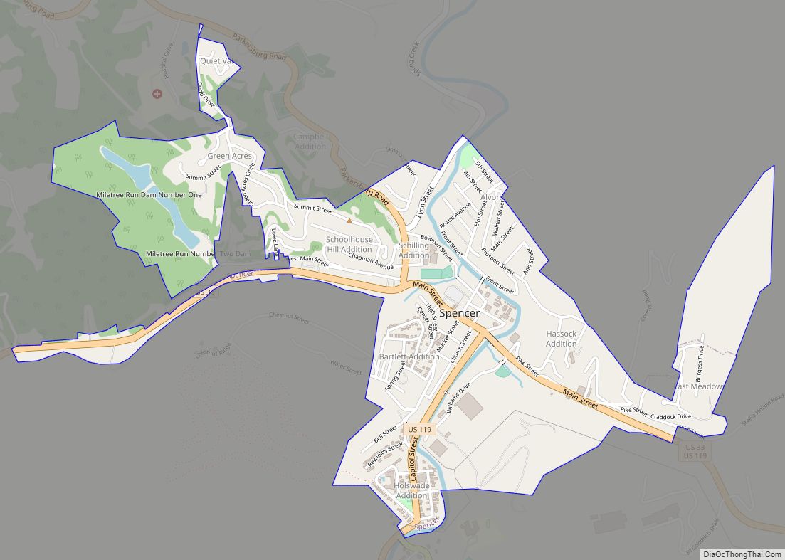
Spencer is a city in and the county seat of Roane County, West Virginia, United States. Originally known as “California,” Spencer was chartered in 1858, and named after Spencer Roane (1762–1822), a distinguished jurist from Virginia, who served on the Virginia Supreme Court of Appeals, and for whom Roane County was named. The population was ... Read more
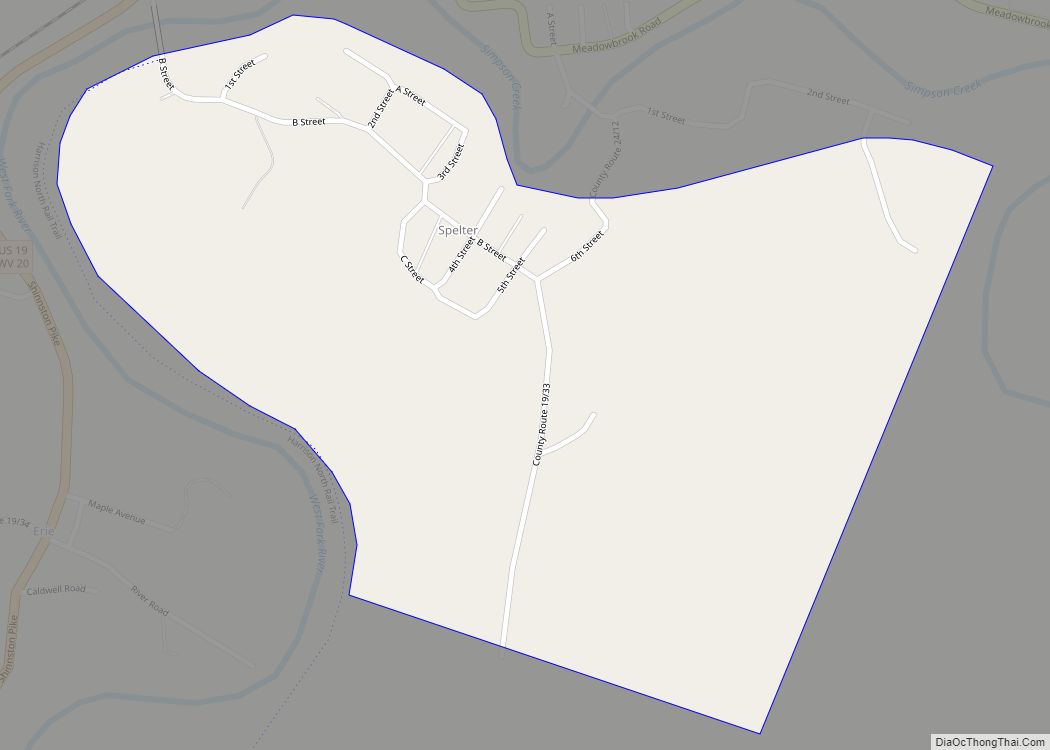
Spelter is a census-designated place (CDP) in Harrison County, West Virginia, United States. Spelter is 4.5 miles (7.2 km) north of Clarksburg. Spelter has a post office with ZIP code 26438. As of the 2010 census, its population was 346. An early variant name was Ziesing. Spelter CDP overview: Name: Spelter CDP LSAD Code: 57 LSAD ... Read more
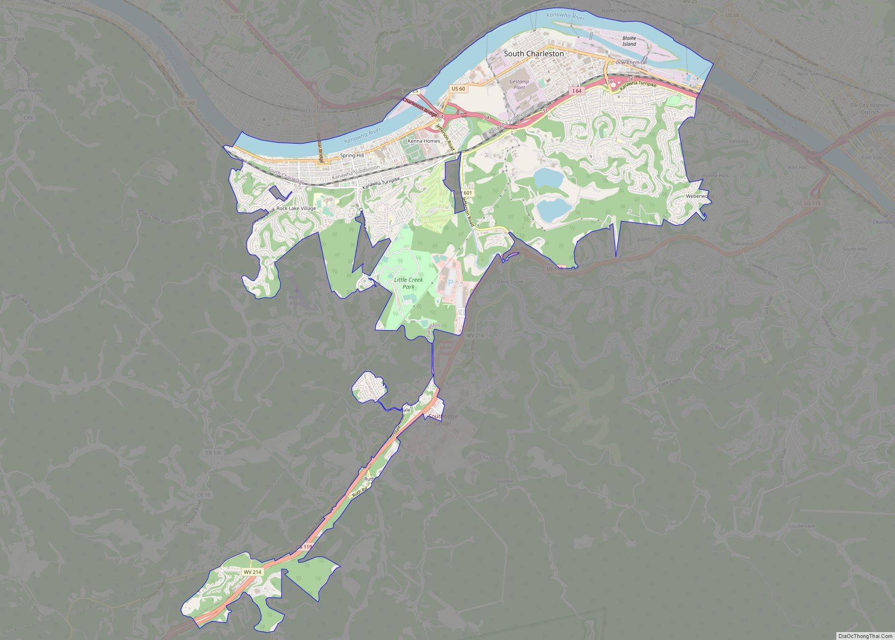
South Charleston is a city in Kanawha County, West Virginia, United States. It is located to the west of the state capital of Charleston. The population was 13,639 at the 2020 census. It was established in 1906, but not incorporated until 1917. The Criel Mound built circa 0 B.C. by the Adena culture is adjacent ... Read more
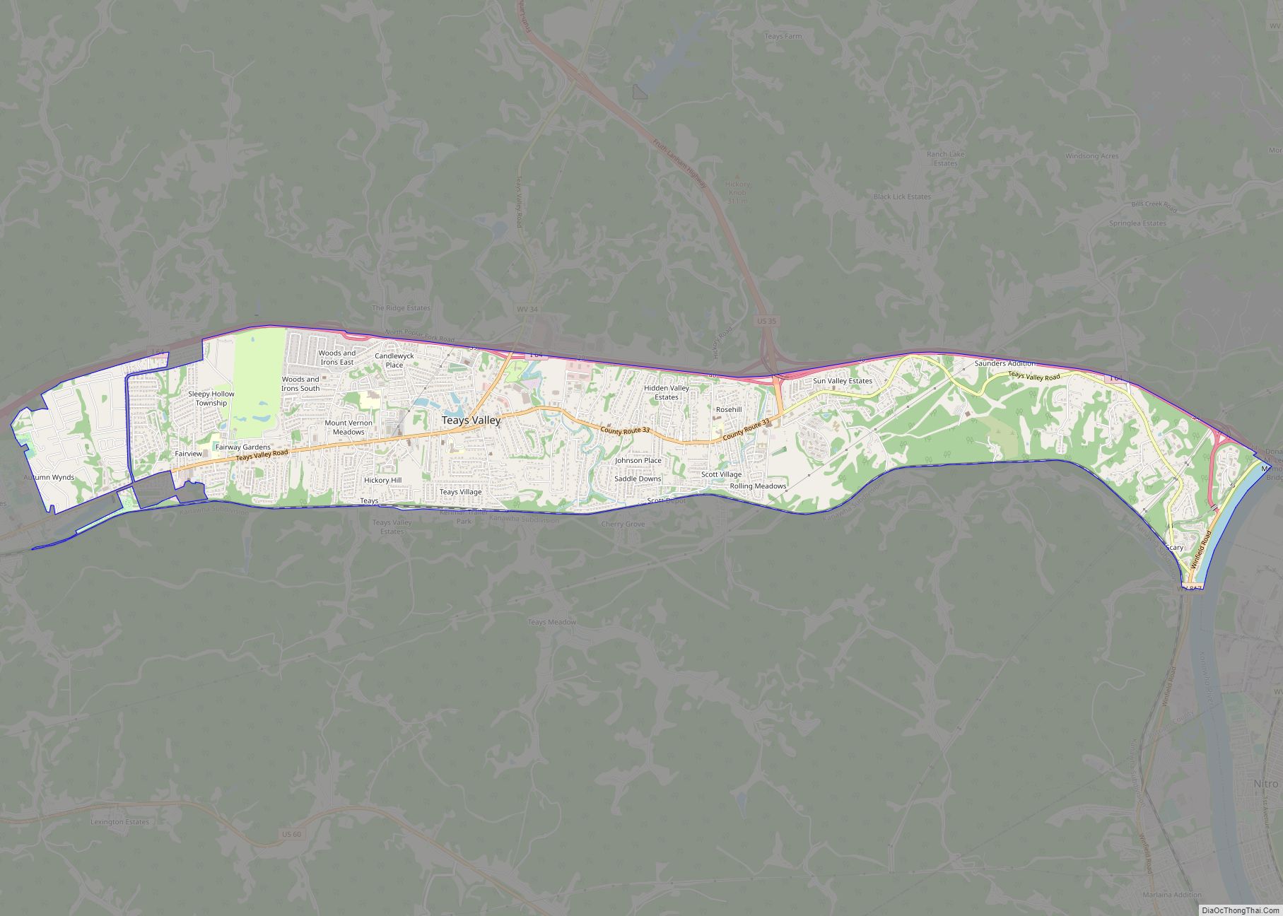
Teays Valley (/ˈteɪz/ TAYZ) is a census-designated place in Putnam County, West Virginia, United States. The population was 14,350 at the 2020 census. Located about 18 miles (29 km) west of Charleston and 28 miles (45 km) east of Huntington, it is part of the Huntington–Ashland metropolitan area. The community is divided by the two magisterial districts ... Read more
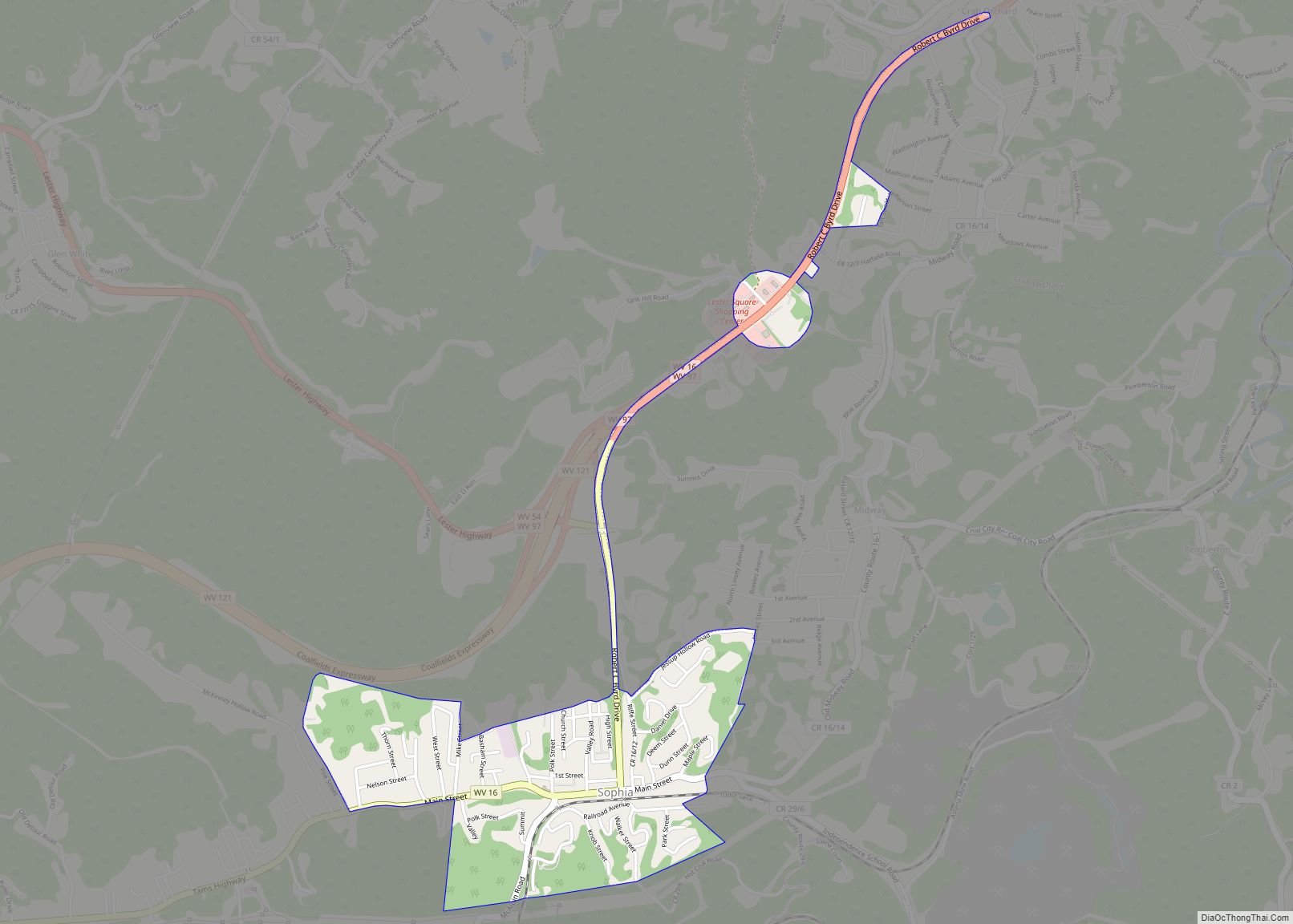
Sophia is a town in Raleigh County, West Virginia, United States. It was incorporated in 1912. The population was 1,124 at the 2020 census. Sophia town overview: Name: Sophia town LSAD Code: 43 LSAD Description: town (suffix) State: West Virginia County: Raleigh County Elevation: 2,320 ft (707 m) Total Area: 0.70 sq mi (1.81 km²) Land Area: 0.70 sq mi (1.81 km²) Water ... Read more
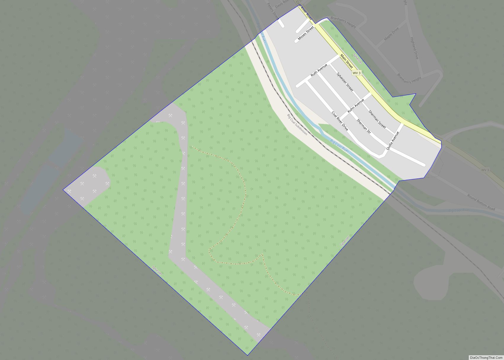
Sylvester is a town in Boone County, West Virginia, United States, along the Big Coal River. The population was 166 at the 2020 census. Sylvester was incorporated on April 11, 1952 by the Boone County Circuit Court. Sylvester bears the name of a family of settlers. Sylvester town overview: Name: Sylvester town LSAD Code: 43 ... Read more
