Teays Valley (/ˈteɪz/ TAYZ) is a census-designated place in Putnam County, West Virginia, United States. The population was 14,350 at the 2020 census. Located about 18 miles (29 km) west of Charleston and 28 miles (45 km) east of Huntington, it is part of the Huntington–Ashland metropolitan area.
The community is divided by the two magisterial districts of Teays and Scott. It was named for Thomas Teays, a hunter and trapper who once spent a considerable amount of time in the vicinity.
| Name: | Teays Valley CDP |
|---|---|
| LSAD Code: | 57 |
| LSAD Description: | CDP (suffix) |
| State: | West Virginia |
| County: | Putnam County |
| Elevation: | 714 ft (203 m) |
| Total Area: | 7.3 sq mi (18.8 km²) |
| Land Area: | 7.2 sq mi (18.6 km²) |
| Water Area: | 0.1 sq mi (0.3 km²) |
| Total Population: | 13,175 |
| Population Density: | 1,800/sq mi (700/km²) |
| Area code: | 304 |
| FIPS code: | 5479545 |
| GNISfeature ID: | 1867651 |
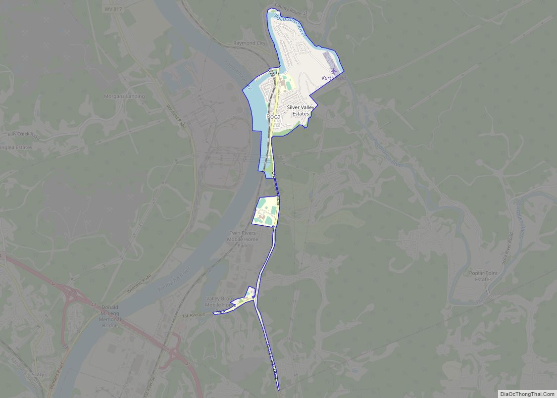
Online Interactive Map
Click on ![]() to view map in "full screen" mode.
to view map in "full screen" mode.
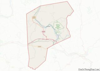
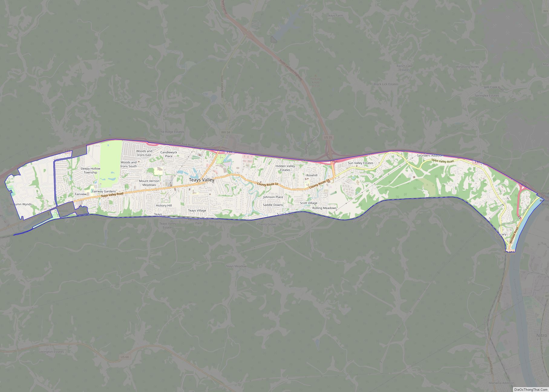
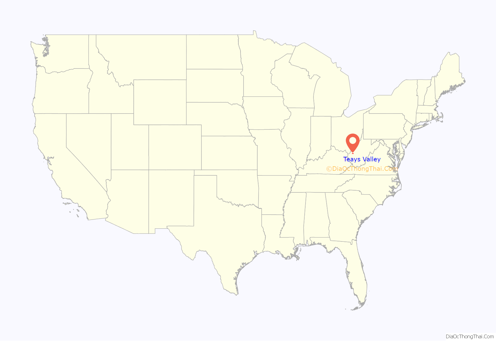
Teays Valley location map. Where is Teays Valley CDP?

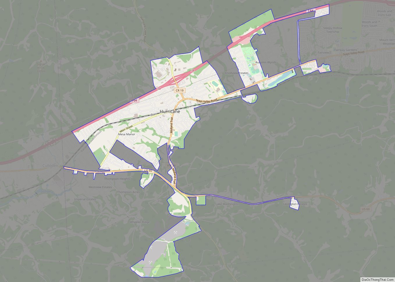
Teays Valley Road Map
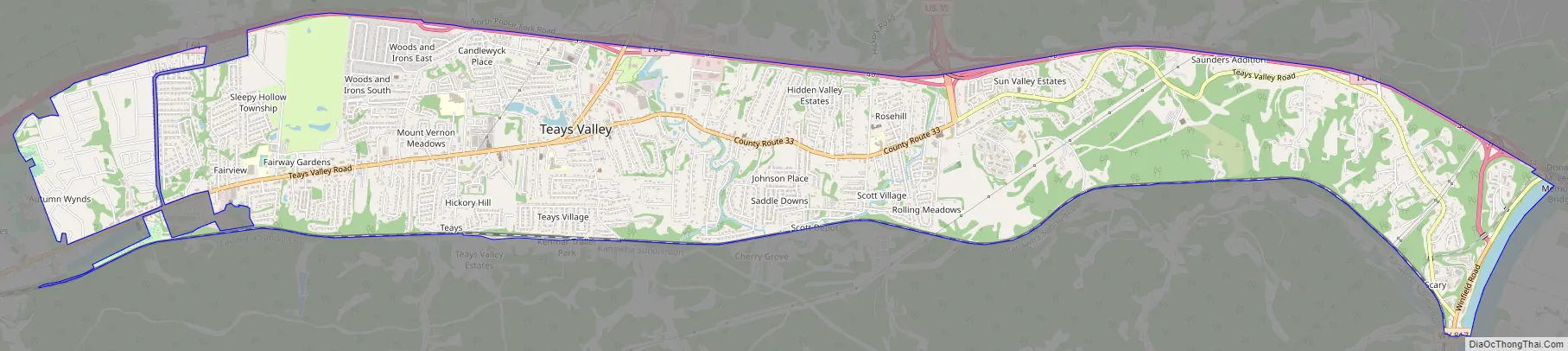
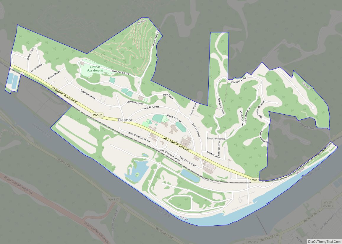
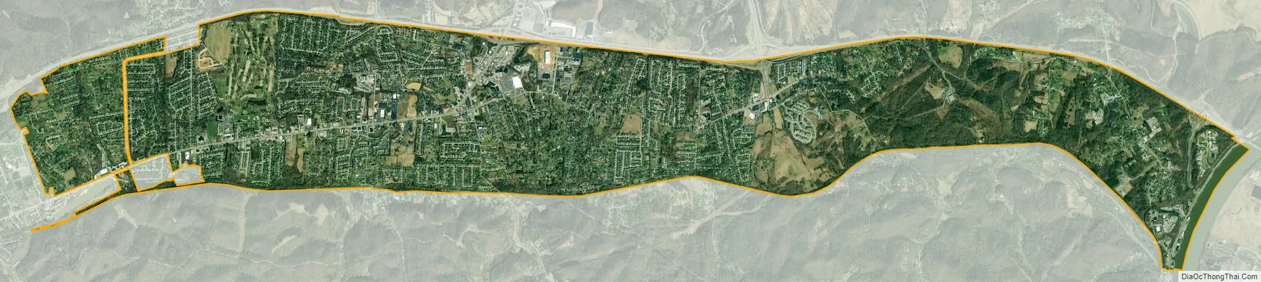
Teays Valley city Satellite Map
Geography
Teays Valley is located at 38°26′50″N 81°56′14″W / 38.44722°N 81.93722°W / 38.44722; -81.93722 (38.447204, -81.937324).
According to the United States Census Bureau, the CDP has a total area of 7.3 square miles (18.8 km), of which 7.2 square miles (18.6 km) is land and 0.1 square mile (0.3 km) (1.34%) is water.
The valley referred to by “Teays Valley” is a portion of the remains of the pre-glacial Teays River. Geologist William G. Tight (1865–1910) named the preglacial Teays River after Teays, which lies in the “riverless” Teays Valley that once was the bottom of the river. Today, the valley’s water is shed through a number of creeks which empty into the Kanawha and Mud rivers.
See also
Map of West Virginia State and its subdivision:- Barbour
- Berkeley
- Boone
- Braxton
- Brooke
- Cabell
- Calhoun
- Clay
- Doddridge
- Fayette
- Gilmer
- Grant
- Greenbrier
- Hampshire
- Hancock
- Hardy
- Harrison
- Jackson
- Jefferson
- Kanawha
- Lewis
- Lincoln
- Logan
- Marion
- Marshall
- Mason
- McDowell
- Mercer
- Mineral
- Mingo
- Monongalia
- Monroe
- Morgan
- Nicholas
- Ohio
- Pendleton
- Pleasants
- Pocahontas
- Preston
- Putnam
- Raleigh
- Randolph
- Ritchie
- Roane
- Summers
- Taylor
- Tucker
- Tyler
- Upshur
- Wayne
- Webster
- Wetzel
- Wirt
- Wood
- Wyoming
- Alabama
- Alaska
- Arizona
- Arkansas
- California
- Colorado
- Connecticut
- Delaware
- District of Columbia
- Florida
- Georgia
- Hawaii
- Idaho
- Illinois
- Indiana
- Iowa
- Kansas
- Kentucky
- Louisiana
- Maine
- Maryland
- Massachusetts
- Michigan
- Minnesota
- Mississippi
- Missouri
- Montana
- Nebraska
- Nevada
- New Hampshire
- New Jersey
- New Mexico
- New York
- North Carolina
- North Dakota
- Ohio
- Oklahoma
- Oregon
- Pennsylvania
- Rhode Island
- South Carolina
- South Dakota
- Tennessee
- Texas
- Utah
- Vermont
- Virginia
- Washington
- West Virginia
- Wisconsin
- Wyoming