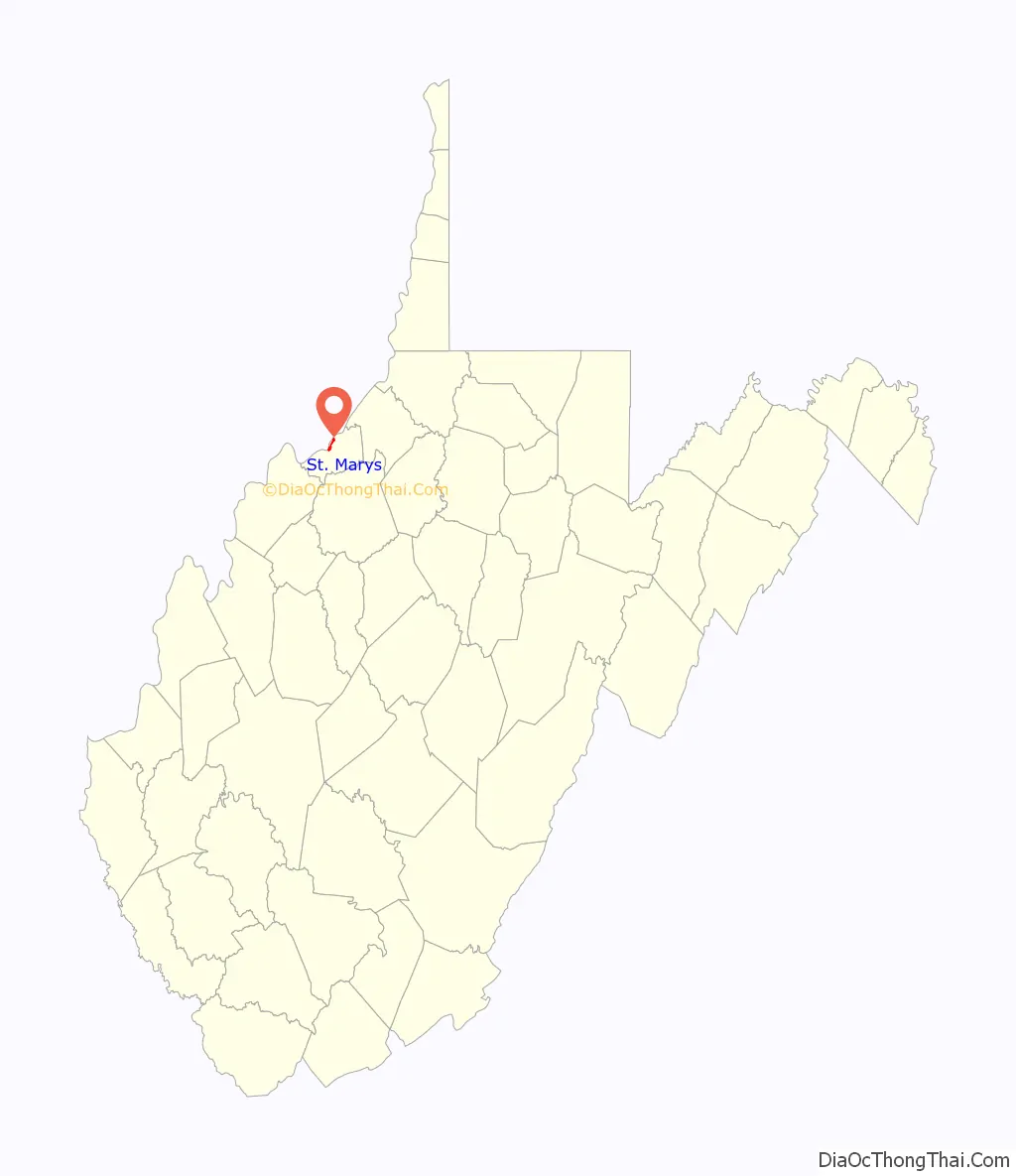
St. Marys is a city and the county seat of Pleasants County, West Virginia, United States. The population was 1,847 at the 2020 census. It is part of the Parkersburg–Vienna metropolitan area. St. Marys was established in 1849 by Alexander Creel, who is said to have had a vision of Mary while passing the townsite by boat on the Ohio River.
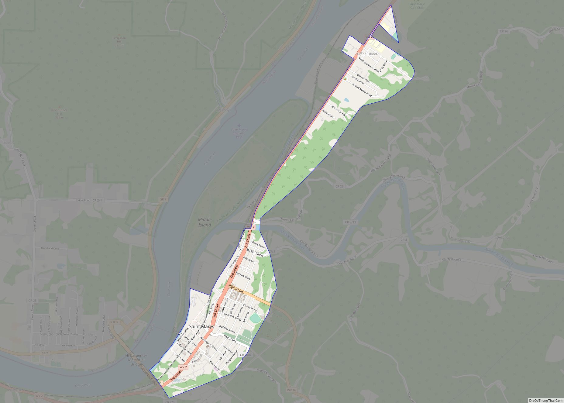
Train tracks run down the middle of 2nd Street in St. Marys, and freight trains running through the middle of downtown St. Marys are a common sight. It is one of the few remaining towns in the United States where freight trains actually share city streets with automotive traffic.
| Name: | St. Marys city |
|---|---|
| LSAD Code: | 25 |
| LSAD Description: | city (suffix) |
| State: | West Virginia |
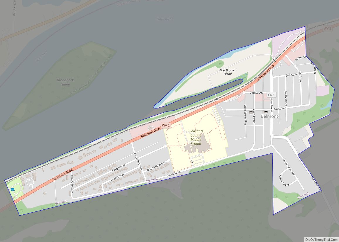
| County: | Pleasants County |
| Elevation: | 623 ft (190 m) |
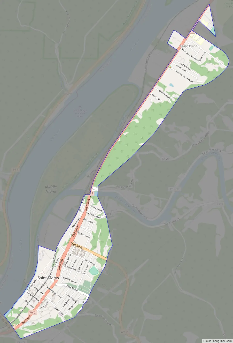
| Total Area: | 1.03 sq mi (2.66 km²) |
| Land Area: | 1.02 sq mi (2.65 km²) |
| Water Area: | 0.00 sq mi (0.01 km²) |
| Total Population: | 1,847 |
| Population Density: | 1,730.47/sq mi (668.12/km²) |
| ZIP code: | 26170 |
| Area code: | 304 |
| FIPS code: | 5471356 |
| GNISfeature ID: | 1552772 |
Online Interactive Map
Click on ![]() to view map in "full screen" mode.
to view map in "full screen" mode.
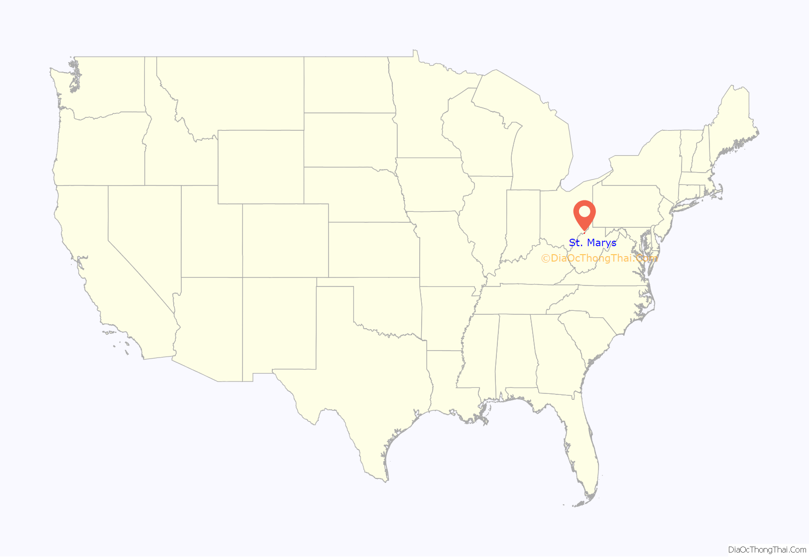
St. Marys location map. Where is St. Marys city?
St. Marys Road Map
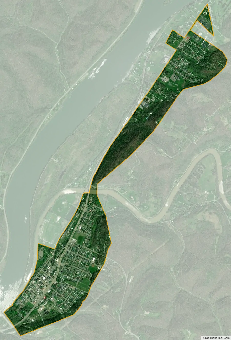
St. Marys city Satellite Map
Geography
St. Marys is located at 39°23′47″N 81°11′59″W / 39.39639°N 81.19972°W / 39.39639; -81.19972 (39.396393, -81.199701), along the Ohio River at the mouth of Middle Island Creek. Middle Island, which is part of the Ohio River Islands National Wildlife Refuge, is located in the Ohio River beside St. Marys; a bridge connects the city to the island.
According to the United States Census Bureau, the city has a total area of 1.02 square miles (2.64 km), all land.
See also
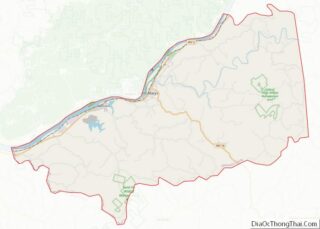
Map of West Virginia State and its subdivision:- Barbour
- Berkeley
- Boone
- Braxton
- Brooke
- Cabell
- Calhoun
- Clay
- Doddridge
- Fayette
- Gilmer
- Grant
- Greenbrier
- Hampshire
- Hancock
- Hardy
- Harrison
- Jackson
- Jefferson
- Kanawha
- Lewis
- Lincoln
- Logan
- Marion
- Marshall
- Mason
- McDowell
- Mercer
- Mineral
- Mingo
- Monongalia
- Monroe
- Morgan
- Nicholas
- Ohio
- Pendleton
- Pleasants
- Pocahontas
- Preston
- Putnam
- Raleigh
- Randolph
- Ritchie
- Roane
- Summers
- Taylor
- Tucker
- Tyler
- Upshur
- Wayne
- Webster
- Wetzel
- Wirt
- Wood
- Wyoming
- Alabama
- Alaska
- Arizona
- Arkansas
- California
- Colorado
- Connecticut
- Delaware
- District of Columbia
- Florida
- Georgia
- Hawaii
- Idaho
- Illinois
- Indiana
- Iowa
- Kansas
- Kentucky
- Louisiana
- Maine
- Maryland
- Massachusetts
- Michigan
- Minnesota
- Mississippi
- Missouri
- Montana
- Nebraska
- Nevada
- New Hampshire
- New Jersey
- New Mexico
- New York
- North Carolina
- North Dakota
- Ohio
- Oklahoma
- Oregon
- Pennsylvania
- Rhode Island
- South Carolina
- South Dakota
- Tennessee
- Texas
- Utah
- Vermont
- Virginia
- Washington
- West Virginia
- Wisconsin
- Wyoming