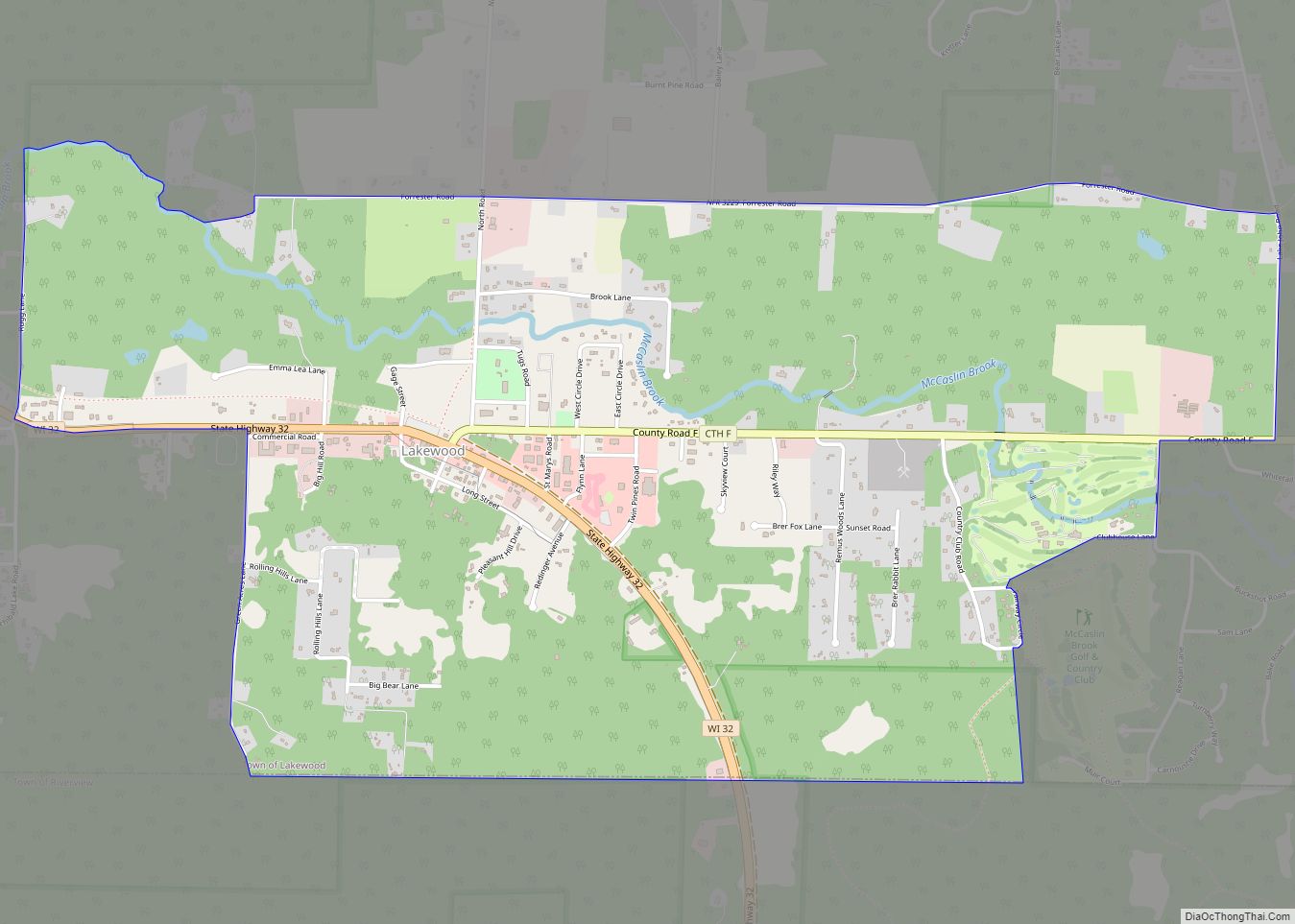
Lakewood is an unincorporated census-designated place located in the town of Lakewood, Oconto County, Wisconsin, United States. Lakewood is located on Wisconsin Highway 32 22 miles (35 km) north-northwest of Suring. Lakewood has a post office with ZIP code 54138. As of the 2010 census, its population was 323. Lakewood CDP overview: Name: Lakewood CDP LSAD ... Read more
Map of US Cities and Places
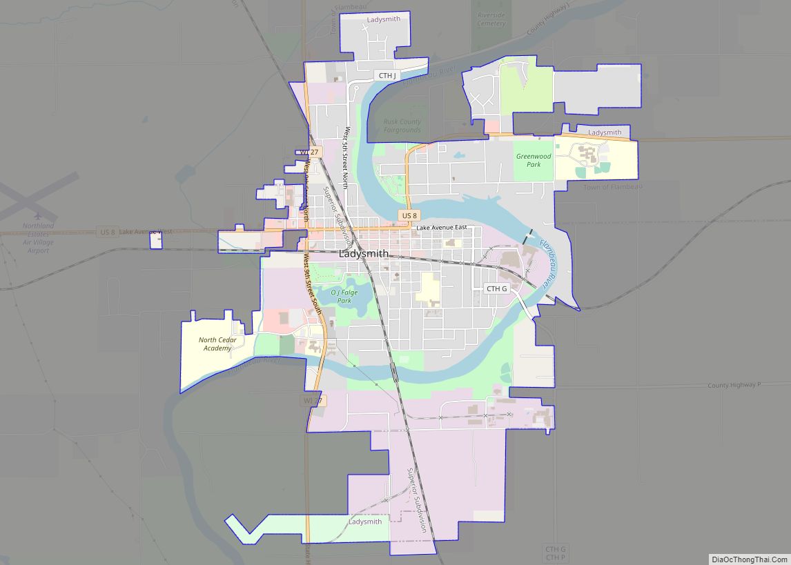
Ladysmith is a city and the county seat of Rusk County, Wisconsin, United States. The population was 3,414 at the 2010 census. Ladysmith city overview: Name: Ladysmith city LSAD Code: 25 LSAD Description: city (suffix) State: Wisconsin County: Rusk County Elevation: 1,145 ft (349 m) Total Area: 4.59 sq mi (11.90 km²) Land Area: 4.22 sq mi (10.93 km²) Water Area: 0.38 sq mi (0.97 km²) ... Read more
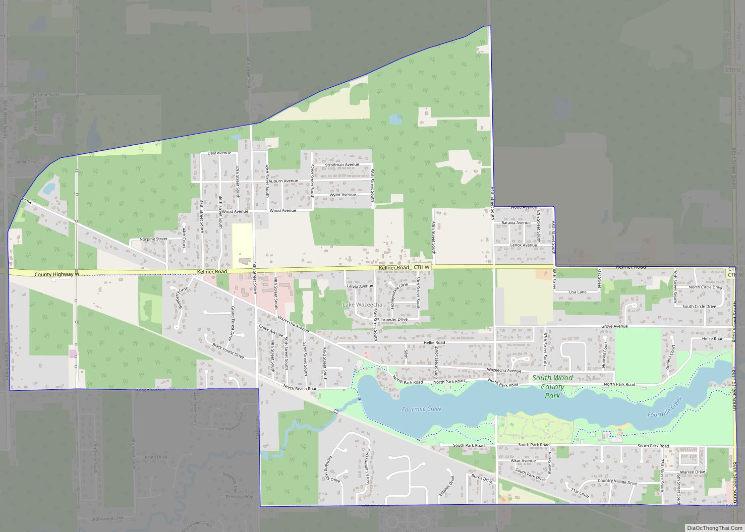
Lake Wazeecha is a census-designated place (CDP) in the town of Grand Rapids, Wood County, Wisconsin, United States. The population was 2,651 at the 2010 census. Lake Wazeecha CDP overview: Name: Lake Wazeecha CDP LSAD Code: 57 LSAD Description: CDP (suffix) State: Wisconsin County: Wood County Elevation: 1,033 ft (315 m) Total Area: 3.9 sq mi (10.2 km²) Land Area: ... Read more
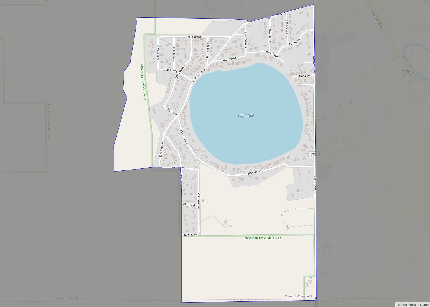
Lily Lake is a census-designated place in the town of Wheatland, Kenosha County, Wisconsin, United States. Its population was 508 as of the 2020 census. Lily Lake CDP overview: Name: Lily Lake CDP LSAD Code: 57 LSAD Description: CDP (suffix) State: Wisconsin County: Kenosha County Elevation: 791 ft (241 m) Total Area: 0.658 sq mi (1.70 km²) Land Area: 0.525 sq mi ... Read more
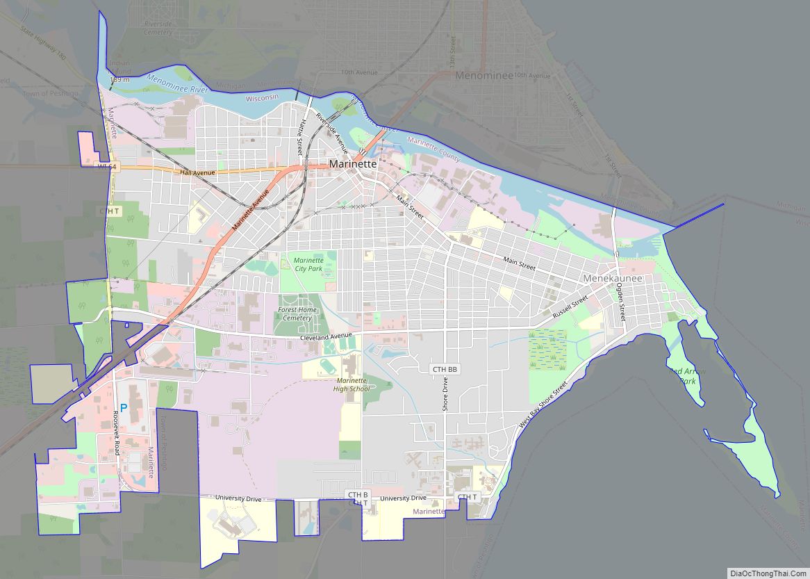
Marinette is a city in and the county seat of Marinette County, Wisconsin, United States. It is located on the south bank of the Menominee River, at its mouth at Green Bay, part of Lake Michigan; to the north is Stephenson Island, part of the city preserved as park. During the lumbering boom of the ... Read more
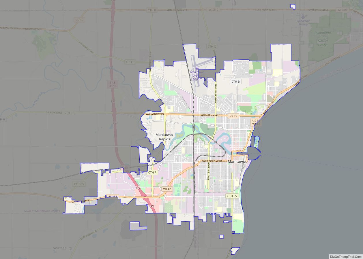
Manitowoc (/ˈmænɪtəwɔːk/) is a city in and the county seat of Manitowoc County, Wisconsin, United States. The city is located on Lake Michigan at the mouth of the Manitowoc River. According to the 2020 census, Manitowoc had a population of 34,626, with over 50,000 residents in the surrounding communities. Manitowoc city overview: Name: Manitowoc city ... Read more
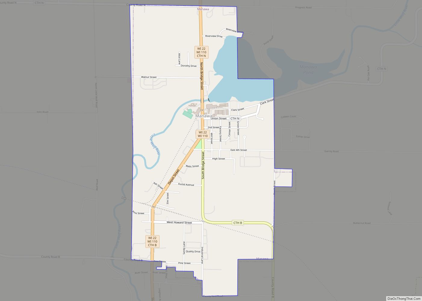
Manawa is a city in Waupaca County, Wisconsin, United States. The population was 1,441 at the 2020 census. Manawa city overview: Name: Manawa city LSAD Code: 25 LSAD Description: city (suffix) State: Wisconsin County: Waupaca County Elevation: 817 ft (249 m) Total Area: 1.77 sq mi (4.58 km²) Land Area: 1.63 sq mi (4.22 km²) Water Area: 0.14 sq mi (0.36 km²) Total Population: 1,441 Population ... Read more
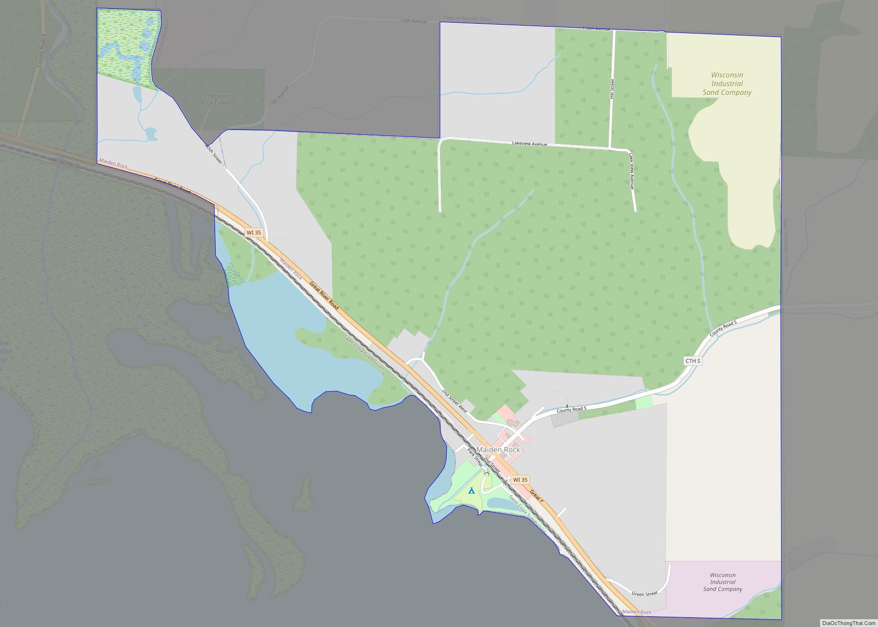
Maiden Rock is a town in Pierce County, Wisconsin, United States. The population was 589 at the 2000 census. The Village of Maiden Rock is located within the town. The unincorporated communities of Nerike and Warrentown are located in the town. The unincorporated community of Lund is also partially located within the town. Maiden Rock ... Read more
Marion is a city in Shawano and Waupaca counties in the U.S. state of Wisconsin. The population was 1,324 at the 2020 census. Marion city overview: Name: Marion city LSAD Code: 25 LSAD Description: city (suffix) State: Wisconsin County: Shawano County, Waupaca County Elevation: 850 ft (259 m) Total Area: 2.59 sq mi (6.71 km²) Land Area: 2.45 sq mi (6.35 km²) Water ... Read more
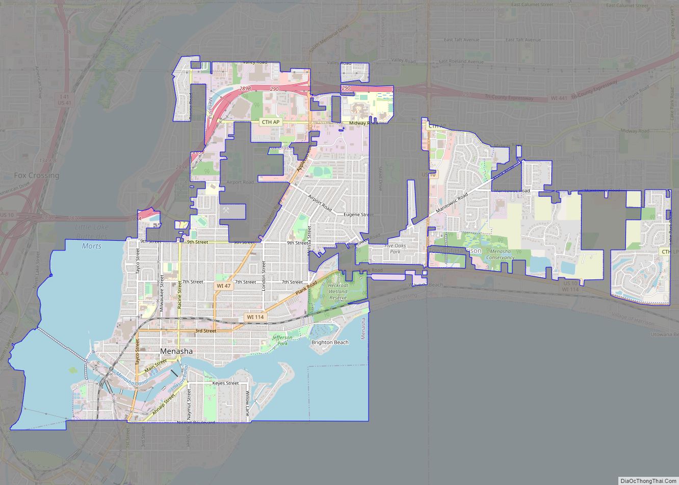
Menasha (/məˈnæʃə/) is a city in Calumet and Winnebago counties in the U.S. state of Wisconsin. The population was 18,268 at the 2020 census. Of this, 15,144 were in Winnebago County, and 2,209 were in Calumet County. The city is located mostly in Winnebago County; only a small portion is in the Town of Harrison ... Read more
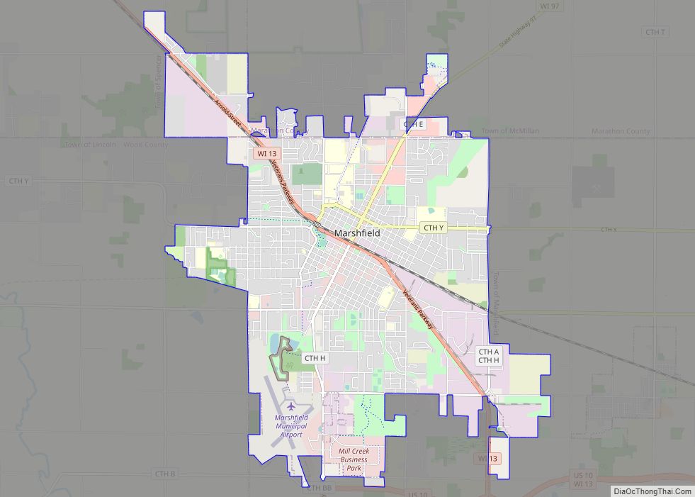
Marshfield is in Wood and Marathon counties in the state of Wisconsin. It is located at the intersection of U.S. Highway 10, Highway 13 and Highway 97. The largest city in Wood County, its population was 18,929 at the 2020 census. Of this, 18,119 were in Wood County, and 810 were in Marathon County. The ... Read more
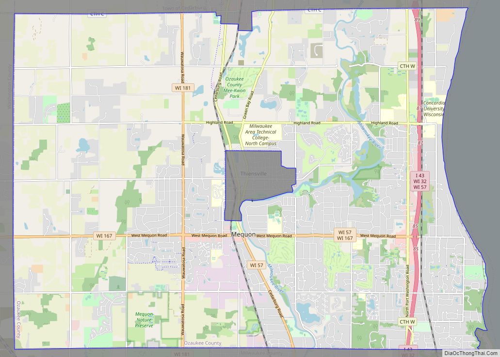
Mequon (/ˈmɛkwɒn/) is the largest city in Ozaukee County, in the U.S. state of Wisconsin, and the third-largest city in Wisconsin by land area. Located on Lake Michigan’s western shore with significant commercial developments along Interstate 43, the community is a suburb in the Milwaukee metropolitan area. Despite being an incorporated city, approximately half of ... Read more
