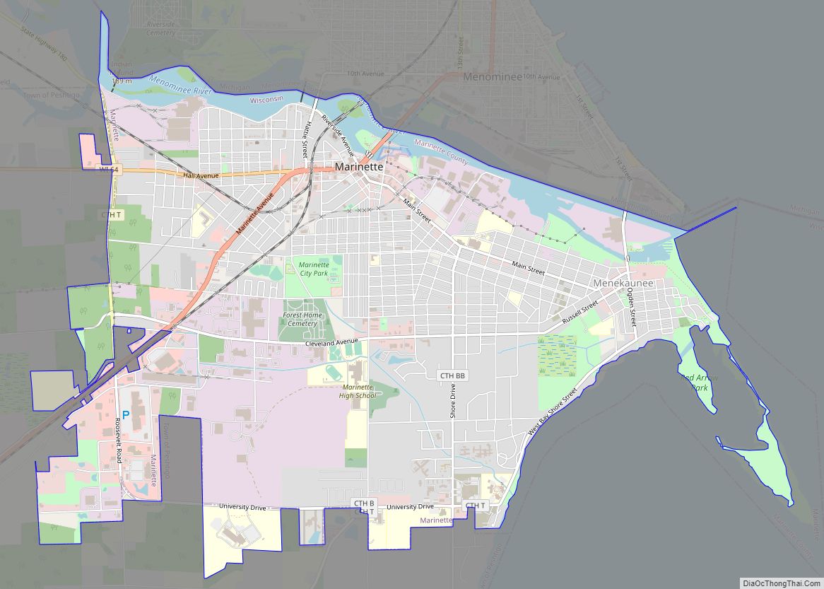
Marinette is a city in and the county seat of Marinette County, Wisconsin, United States. It is located on the south bank of the Menominee River, at its mouth at Green Bay, part of Lake Michigan; to the north is Stephenson Island, part of the city preserved as park. During the lumbering boom of the late 19th century, Marinette became the tenth-largest city in Wisconsin in 1900, reaching a peak population of 16,195.
Marinette is the principal city of the Marinette, Wisconsin–Michigan Micropolitan Statistical Area, which includes all of Marinette County, Wisconsin and Menominee County, Michigan. The population was 10,968 at the 2010 census. Menominee, Michigan is across the river to the north, and the cities are connected by three bridges. Menominee and Marinette are sometimes described as the “twin cities” of the Menominee River.
| Name: | Marinette city |
|---|---|
| LSAD Code: | 25 |
| LSAD Description: | city (suffix) |
| State: | Wisconsin |
| County: | Marinette County |
| Elevation: | 594 ft (181 m) |
| Total Area: | 7.55 sq mi (19.56 km²) |
| Land Area: | 7.01 sq mi (18.15 km²) |
| Water Area: | 0.55 sq mi (1.41 km²) |
| Total Population: | 10,968 |
| Population Density: | 1,504.28/sq mi (580.78/km²) |
| ZIP code: | 54143 |
| Area code: | 715 & 534 |
| FIPS code: | 5549300 |
| GNISfeature ID: | 1569039 |
| Website: | marinette.wi.us |
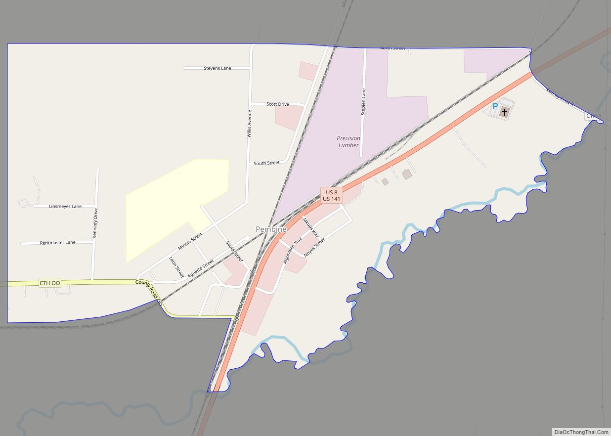
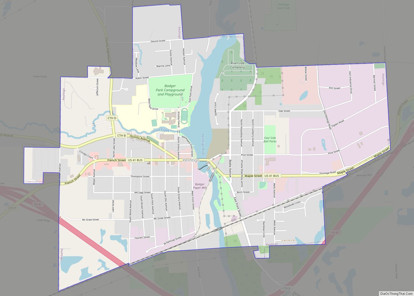
Online Interactive Map
Click on ![]() to view map in "full screen" mode.
to view map in "full screen" mode.
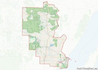
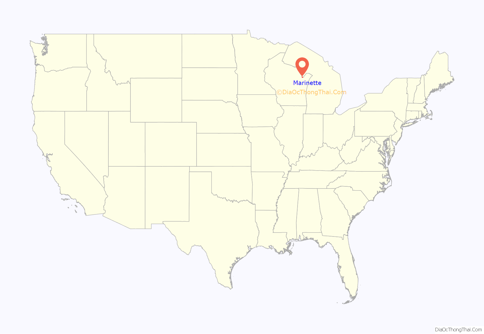
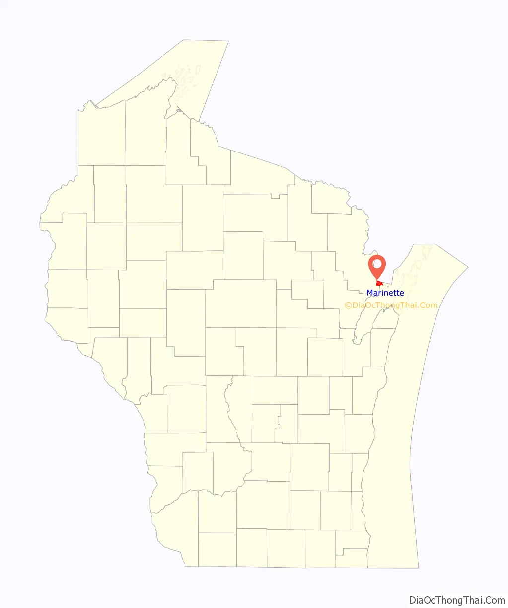
Marinette location map. Where is Marinette city?
History
The site of Marinette was first settled by a small Algonquin band of Menominee people, referred to by the neighboring Ojibwe as “the wild rice people” for their staple crop. The band consisted of 40 to 80 men and their families. They lived at the mouth of the Menominee River in the 17th and 18th centuries, which, according to their creation story, was the tribe’s place of origin.
Before 1830, French Canadians established a fur trading post at the settlement. The first European settler was Stanislaus Chappu, also known as Chappee. After the War of 1812, the United States took over this area and the fur trade. They refused to license Canadian traders to operate on the American side of the border, although prior to the war, they and the Americans had easily passed back and forth across the border. John Jacob Astor’s American Fur Company became most prominent in the region, although the fur trade was declining after 1830.
In the late 19th century, the city developed rapidly as a port and processing area for lumber harvested in the interior. Logs were floated down the Menominee River and shipped out on Green Bay to communities around the Great Lakes and to the East. In 1853, the population was 478; by 1860 the number of people in the growing community had reached 3,059.
Due to the lumbering boom, between 1890 and 1900, the population more than doubled from 7,710 to its peak of 16,195. At that time, it was the tenth-largest city in Wisconsin. It had a wide variety of businesses and a new courthouse, city hall, opera house, two hospitals, a street railway, more than a dozen hotels and boarding houses, thirty saloons, and major industries, including the Marinette Iron Works, Marinette Flour Mill, the A.W. Stevens farm implement company, and the M & M Paper Company.
The saloons accommodated the many single men who worked in the lumber industry.
Although lumbering trailed off at the start of the 20th century, with clear cutting of some areas, the town has continued to take advantage of its position along those bodies of water. Three bridges cross the river to connect Marinette to Menominee, Michigan, often called its twin city. Lumbering still contributes to the area economy, but jobs and population declined when the industry slowed.
Marinette has a major paper mill (Kimberly Clark), and other plants such as Marinette Marine, a shipyard owned by the Italian firm, Fincantieri; Ansul/Tyco, a manufacturer of fire protection systems; Waupaca Foundry, KS Kolbenschmidt US Inc. formerly known as Karl Schmidt Unisia, Inc., cast and machined automotive parts; Samuel Pressure Vessel Group a manufacturer of pressure vessels and part of the Samuel, Son and Inc.
The county seat includes what is now the eastern neighborhood of Menekaunee, formerly an independent village. The first European-American settlers came to Menekaunee in 1845. For some time Menekaunee was also known as East Marinette. The name Menekaunee is of Menominee origin, from Minikani Se’peu, meaning ‘village or town river’.
Two Presidents of the United States—John F. Kennedy during the 1960 presidential election and Donald Trump during the 2020 presidential election—have visited the town during their campaigns. Kennedy delivered a speech promoting expanded Farmers Home Administration loans and criticizing Secretary of Agriculture Ezra Taft Benson, while Trump discussed his administration’s manufacturing policy, military buildup, and United States–Mexico–Canada Agreement.
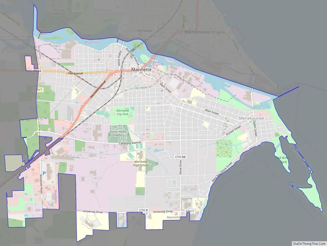
Marinette Road Map
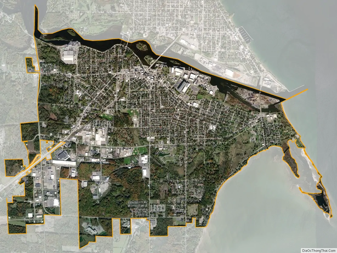
Marinette city Satellite Map
Geography
Marinette is at 45°5’31” North, 87°37’43” West (45.091983, −87.628714).
According to the United States Census Bureau, the city has a total area of 8.13 square miles (21.06 km), of which, 6.83 square miles (17.69 km) is land and 1.30 square miles (3.37 km) is water.
Climate
See also
Map of Wisconsin State and its subdivision:- Adams
- Ashland
- Barron
- Bayfield
- Brown
- Buffalo
- Burnett
- Calumet
- Chippewa
- Clark
- Columbia
- Crawford
- Dane
- Dodge
- Door
- Douglas
- Dunn
- Eau Claire
- Florence
- Fond du Lac
- Forest
- Grant
- Green
- Green Lake
- Iowa
- Iron
- Jackson
- Jefferson
- Juneau
- Kenosha
- Kewaunee
- La Crosse
- Lafayette
- Lake Michigan
- Lake Superior
- Langlade
- Lincoln
- Manitowoc
- Marathon
- Marinette
- Marquette
- Menominee
- Milwaukee
- Monroe
- Oconto
- Oneida
- Outagamie
- Ozaukee
- Pepin
- Pierce
- Polk
- Portage
- Price
- Racine
- Richland
- Rock
- Rusk
- Saint Croix
- Sauk
- Sawyer
- Shawano
- Sheboygan
- Taylor
- Trempealeau
- Vernon
- Vilas
- Walworth
- Washburn
- Washington
- Waukesha
- Waupaca
- Waushara
- Winnebago
- Wood
- Alabama
- Alaska
- Arizona
- Arkansas
- California
- Colorado
- Connecticut
- Delaware
- District of Columbia
- Florida
- Georgia
- Hawaii
- Idaho
- Illinois
- Indiana
- Iowa
- Kansas
- Kentucky
- Louisiana
- Maine
- Maryland
- Massachusetts
- Michigan
- Minnesota
- Mississippi
- Missouri
- Montana
- Nebraska
- Nevada
- New Hampshire
- New Jersey
- New Mexico
- New York
- North Carolina
- North Dakota
- Ohio
- Oklahoma
- Oregon
- Pennsylvania
- Rhode Island
- South Carolina
- South Dakota
- Tennessee
- Texas
- Utah
- Vermont
- Virginia
- Washington
- West Virginia
- Wisconsin
- Wyoming