Ladysmith is a city and the county seat of Rusk County, Wisconsin, United States. The population was 3,414 at the 2010 census.
| Name: | Ladysmith city |
|---|---|
| LSAD Code: | 25 |
| LSAD Description: | city (suffix) |
| State: | Wisconsin |
| County: | Rusk County |
| Elevation: | 1,145 ft (349 m) |
| Total Area: | 4.59 sq mi (11.90 km²) |
| Land Area: | 4.22 sq mi (10.93 km²) |
| Water Area: | 0.38 sq mi (0.97 km²) |
| Total Population: | 3,414 |
| Population Density: | 740.76/sq mi (286.03/km²) |
| ZIP code: | 54848 |
| Area code: | 715 & 534 |
| FIPS code: | 5540850 |
| GNISfeature ID: | 1567715 |
| Website: | www.cityofladysmithwi.com |
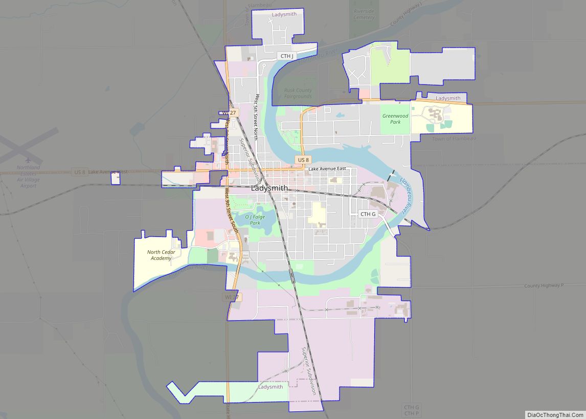
Online Interactive Map
Click on ![]() to view map in "full screen" mode.
to view map in "full screen" mode.
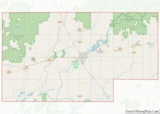
Ladysmith location map. Where is Ladysmith city?


History
The Ojibwe who travelled the Flambeau River called the area that would become Ladysmith Gakaabikijiwanan (“of cliffed rapids”).
The city was founded in 1885 at the intersection of the Minneapolis, St. Paul and Sault Ste. Marie Railroad (Soo Line) with the Flambeau River, initially named Flambeau Falls. Robert Corbett, a logging and lumbering entrepreneur who was a strong influence on the city in its early years, renamed it Corbett, then Warner in 1891, and then Ladysmith on July 1, 1900, after the bride of Charles R. Smith, head of the Menasha Wooden Ware Co.
Flambeau Mine
The Flambeau Copper Mine was operated by Kennecott from 1993 to 1997. This was a very rich volcanogenic massive sulfide ore deposit, so rich that the ore was shipped directly to the smelter. Flambeau has since been closed and the site reclaimed.
2002 tornado
On September 2, 2002, a tornado rated at F3 strength destroyed much of Ladysmith’s downtown area. Overall damage was estimated at $20 million, but there were no fatalities.
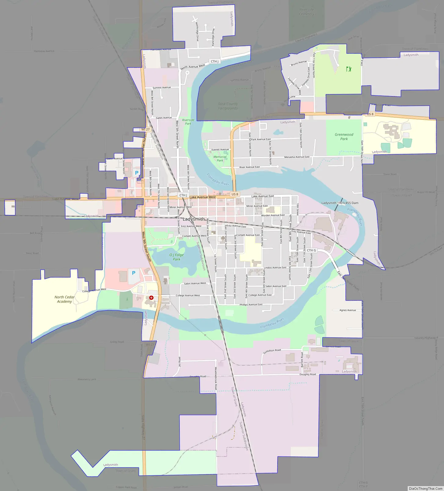
Ladysmith Road Map
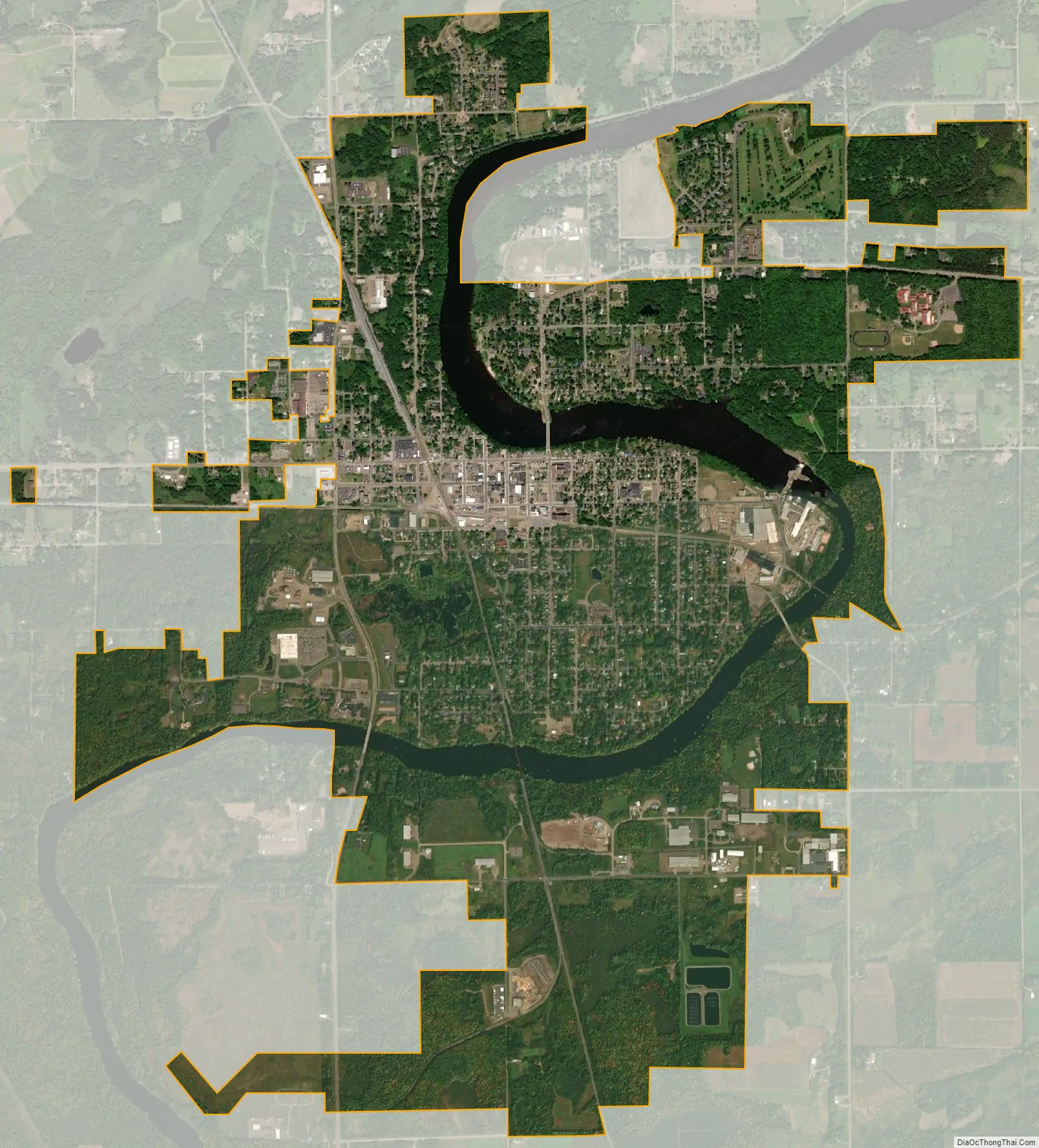
Ladysmith city Satellite Map
Geography
Ladysmith is located at 45°27′50″N 91°6′0″W / 45.46389°N 91.10000°W / 45.46389; -91.10000. According to the United States Census Bureau, the city has an area of 4.59 square miles (11.89 km), of which 4.21 square miles (10.90 km) is land and 0.38 square miles (0.98 km) is water.
U.S. Highway 8 and Wisconsin Highway 27 are the main routes in the community.
Ladysmith is along the Flambeau River.
See also
Map of Wisconsin State and its subdivision:- Adams
- Ashland
- Barron
- Bayfield
- Brown
- Buffalo
- Burnett
- Calumet
- Chippewa
- Clark
- Columbia
- Crawford
- Dane
- Dodge
- Door
- Douglas
- Dunn
- Eau Claire
- Florence
- Fond du Lac
- Forest
- Grant
- Green
- Green Lake
- Iowa
- Iron
- Jackson
- Jefferson
- Juneau
- Kenosha
- Kewaunee
- La Crosse
- Lafayette
- Lake Michigan
- Lake Superior
- Langlade
- Lincoln
- Manitowoc
- Marathon
- Marinette
- Marquette
- Menominee
- Milwaukee
- Monroe
- Oconto
- Oneida
- Outagamie
- Ozaukee
- Pepin
- Pierce
- Polk
- Portage
- Price
- Racine
- Richland
- Rock
- Rusk
- Saint Croix
- Sauk
- Sawyer
- Shawano
- Sheboygan
- Taylor
- Trempealeau
- Vernon
- Vilas
- Walworth
- Washburn
- Washington
- Waukesha
- Waupaca
- Waushara
- Winnebago
- Wood
- Alabama
- Alaska
- Arizona
- Arkansas
- California
- Colorado
- Connecticut
- Delaware
- District of Columbia
- Florida
- Georgia
- Hawaii
- Idaho
- Illinois
- Indiana
- Iowa
- Kansas
- Kentucky
- Louisiana
- Maine
- Maryland
- Massachusetts
- Michigan
- Minnesota
- Mississippi
- Missouri
- Montana
- Nebraska
- Nevada
- New Hampshire
- New Jersey
- New Mexico
- New York
- North Carolina
- North Dakota
- Ohio
- Oklahoma
- Oregon
- Pennsylvania
- Rhode Island
- South Carolina
- South Dakota
- Tennessee
- Texas
- Utah
- Vermont
- Virginia
- Washington
- West Virginia
- Wisconsin
- Wyoming