Map of Montura CDP
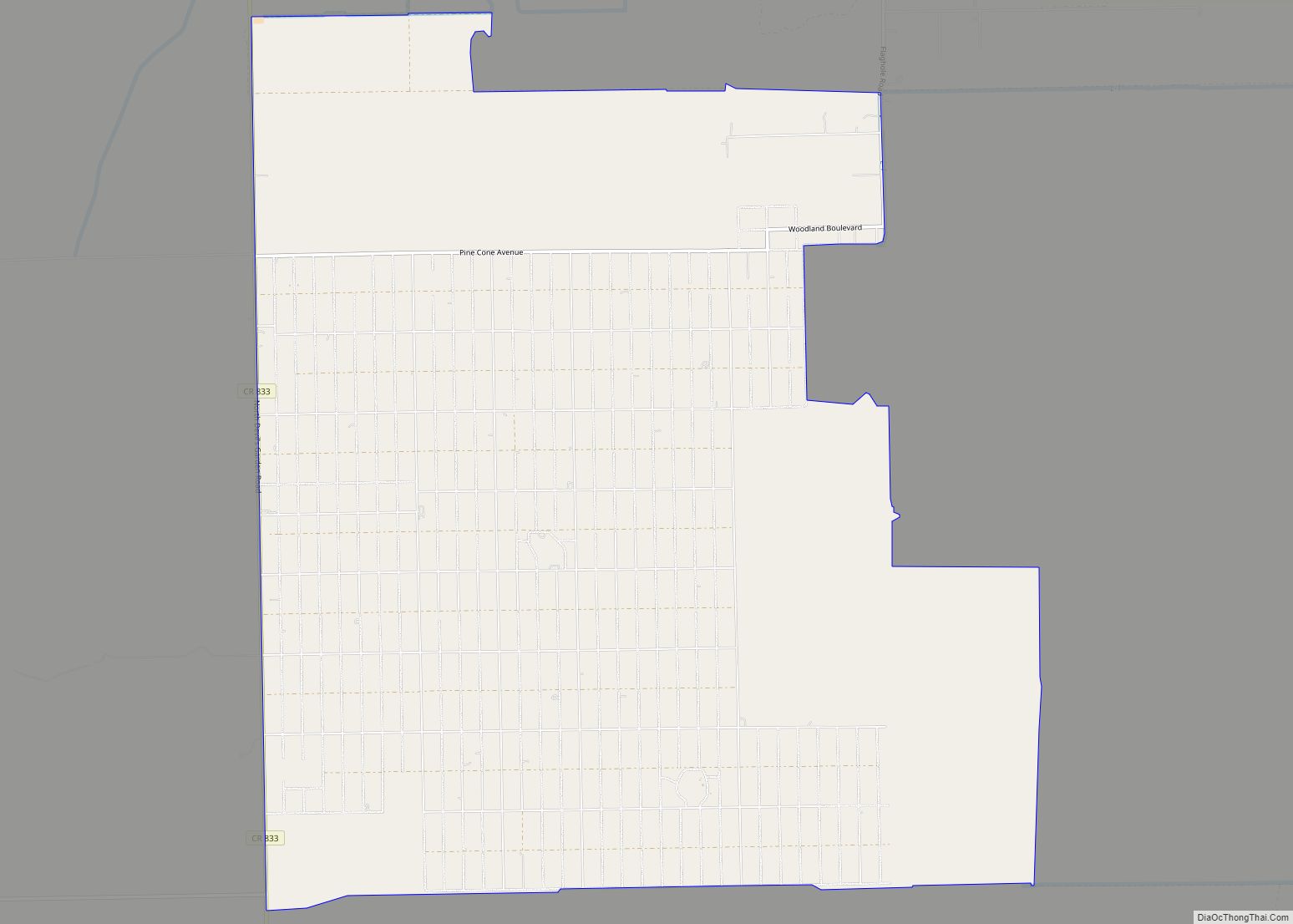
Montura is an unincorporated community and census-designated place in Hendry County, Florida, United States. Montura CDP overview: Name: Montura CDP LSAD Code: 57 LSAD Description: CDP (suffix) State: Florida County: Hendry County Elevation: 26 ft (8 m) Total Area: 22.34 sq mi (57.85 km²) Land Area: 22.34 sq mi (57.85 km²) Water Area: 0.00 sq mi (0.00 km²) ZIP code: 33440 Area code: 863 FIPS code: ... Read more
Map of Montura CDP
Map of Monticello city, Florida
Monticello (/ˌmɒntɪˈsɛloʊ/ (listen) MON-tiss-EL-oh) is the only city and the county seat of Jefferson County, Florida, United States. The population was 2,506 at the 2010 census. The city is named after Monticello, the estate of the county’s namesake, Thomas Jefferson, on which the Jefferson County Courthouse (Monticello, Florida) was modeled. Monticello is home to Indian ... Read more
Map of Monticello city, Florida
Map of Morriston CDP
Morriston is a census-designated place (CDP) in Levy County, Florida, United States. The population was 164 at the 2010 census. Morriston CDP overview: Name: Morriston CDP LSAD Code: 57 LSAD Description: CDP (suffix) State: Florida County: Levy County Elevation: 63 ft (19 m) Total Area: 0.41 sq mi (1.06 km²) Land Area: 0.41 sq mi (1.06 km²) Water Area: 0.00 sq mi (0.00 km²) Total Population: ... Read more
Map of Morriston CDP
Map of Moore Haven city
Moore Haven is a city in, and the county seat of, Glades County, Florida, United States. The population was 1,680 at the 2010 census. Moore Haven is located on the southwest shoreline of Lake Okeechobee. Moore Haven city overview: Name: Moore Haven city LSAD Code: 25 LSAD Description: city (suffix) State: Florida County: Glades County ... Read more
Map of Moore Haven city
Map of Moon Lake CDP
Moon Lake is an unincorporated area in Pasco County, Florida. Moon Lake Road passes through the area. Moon Lake was once home to the Moon Lake Gardens Dude Ranch, built between 1933 and 1937 by the owner of Clearwater, Florida‘s Fort Harrison Hotel, Ed Haley. The tourist resort included cottages, a casino, and gardens. Moon ... Read more
Map of Moon Lake CDP
Map of Mount Carmel CDP, Florida
Mount Carmel is an unincorporated community and census-designated place in Santa Rosa County, Florida, United States. Its population was 227 as of the 2010 census. Florida State Road 89 passes through the community. Mount Carmel CDP overview: Name: Mount Carmel CDP LSAD Code: 57 LSAD Description: CDP (suffix) State: Florida County: Santa Rosa County Elevation: ... Read more
Map of Mount Carmel CDP, Florida
Map of Mount Plymouth CDP
Mount Plymouth is an unincorporated community and census-designated place (CDP) in Lake County, Florida, United States. As of the 2010 census, the CDP population was 4,011, up from 2,814 in 2000. It is part of the Orlando–Kissimmee Metropolitan Statistical Area. Mount Plymouth CDP overview: Name: Mount Plymouth CDP LSAD Code: 57 LSAD Description: CDP (suffix) ... Read more
Map of Mount Plymouth CDP
Map of Mount Dora city
Mount Dora is a city in Lake County, Florida, USA. As of the 2010 census it had a population of 12,370, and in 2019 the population was estimated to be 14,516. It is part of the Orlando-Kissimmee, Florida, metropolitan statistical area. Founded in 1880, Mount Dora is known for its small-town southern charm. It has ... Read more
Map of Mount Dora city
Map of Munson CDP
Munson is an unincorporated community and census-designated place in Santa Rosa County, Florida, United States. Its population was 372 as of the 2010 census. Florida State Road 4 passes through the community. Munson CDP overview: Name: Munson CDP LSAD Code: 57 LSAD Description: CDP (suffix) State: Florida County: Santa Rosa County Elevation: 210 ft (60 m) Total ... Read more
Map of Munson CDP
Map of Mulberry city, Florida
Mulberry is a city in Polk County, Florida, United States. The population was 3,817 at the 2010 census. Mulberry is home to Badcock Home Furniture. It is part of the Lakeland–Winter Haven Metropolitan Statistical Area, with parts of unincorporated Lakeland on its northern boundary. Mulberry is home to the 334-acre Alafia River Reserve. Mulberry city ... Read more
Map of Mulberry city, Florida
Map of Mulat CDP
Mulat is an unincorporated community and census-designated place in Santa Rosa County, Florida, United States. Its population was 259 as of the 2010 census. Mulat CDP overview: Name: Mulat CDP LSAD Code: 57 LSAD Description: CDP (suffix) State: Florida County: Santa Rosa County Elevation: 10 ft (3 m) Total Area: 1.675 sq mi (4.34 km²) Land Area: 1.574 sq mi (4.08 km²) Water ... Read more
Map of Mulat CDP
Map of Naples Park CDP
Naples Park is an unincorporated community and census-designated place (CDP) in Collier County, Florida, United States. The population was 5,967 at the 2010 census. It is part of the Naples-Marco Island, Florida Metropolitan Statistical Area. Naples Park CDP overview: Name: Naples Park CDP LSAD Code: 57 LSAD Description: CDP (suffix) State: Florida County: Collier County ... Read more
Map of Naples Park CDP