Map of Naples Park CDP
Naples Park is an unincorporated community and census-designated place (CDP) in Collier County, Florida, United States. The population was 5,967 at the 2010 census. It is part of the Naples-Marco Island, Florida Metropolitan Statistical Area. Naples Park CDP overview: Name: Naples Park CDP LSAD Code: 57 LSAD Description: CDP (suffix) State: Florida County: Collier County ... Read more
Map of Naples Park CDP
Map of Naples Manor CDP
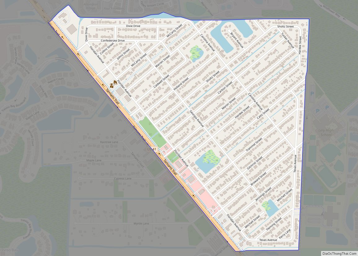
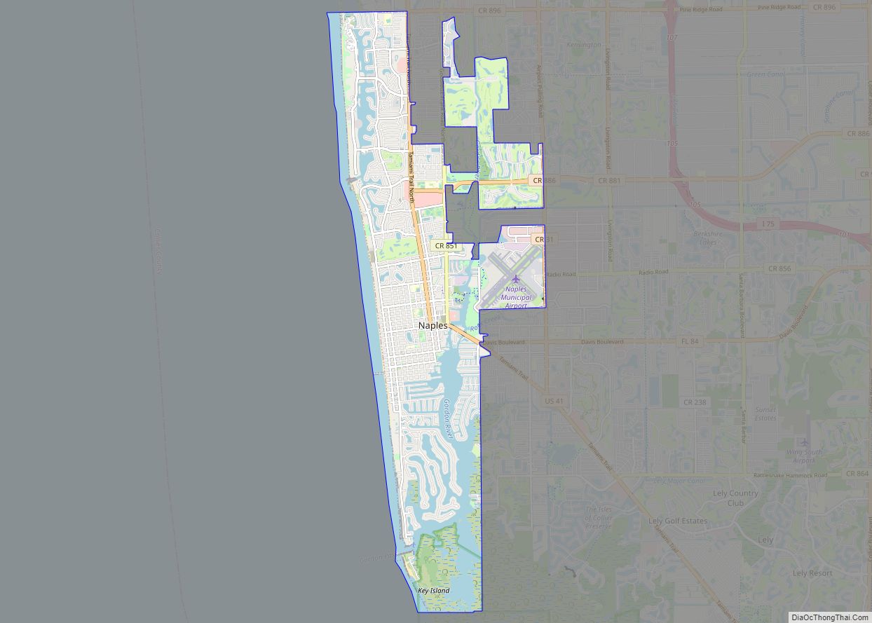
Naples Manor is a census-designated place (CDP) in Collier County, Florida, United States. The population was 5,562 at the 2010 census. It is part of the Naples–Marco Island Metropolitan Statistical Area. Naples Manor CDP overview: Name: Naples Manor CDP LSAD Code: 57 LSAD Description: CDP (suffix) State: Florida County: Collier County Elevation: 3 ft (1 m) Total ... Read more
Map of Naples Manor CDP
Map of Nassau Village-Ratliff CDP
Nassau Village-Ratliff is a census-designated place (CDP) in Nassau County, Florida, United States. The population was 5,337 at the 2010 census. Nassau Village-Ratliff CDP overview: Name: Nassau Village-Ratliff CDP LSAD Code: 57 LSAD Description: CDP (suffix) State: Florida County: Nassau County Total Area: 14.67 sq mi (37.98 km²) Land Area: 14.67 sq mi (37.98 km²) Water Area: 0.00 sq mi (0.00 km²) Total Population: ... Read more
Map of Nassau Village-Ratliff CDP
Map of Naranja CDP
Naranja is an unincorporated community and census-designated place (CDP) in Miami-Dade County, Florida, United States. Many orange groves were once located in this area, so the community name came from the Spanish word for orange, naranja, though the pronunciation among the local residents is “Na-Ran-Jah”. Naranja was also a stop for the Florida East Coast ... Read more
Map of Naranja CDP
Map of Naples city, Florida
Naples is a city in Collier County, Florida, United States. As of the 2020 census, the population was 19,115. Naples is a principal city of the Naples-Marco Island, Florida Metropolitan Statistical Area, which had a population of about 375,752 as of 2020. Naples’ USPS City population (i.e. the total population that lists Naples as the ... Read more
Map of Naples city, Florida
Map of Neptune Beach city
Neptune Beach is a beachfront city east of Jacksonville in Duval County, Florida, United States. When the majority of Duval County communities consolidated with Jacksonville in 1968, Neptune Beach, along with Jacksonville Beach, Atlantic Beach and Baldwin remained quasi-independent. Like those other towns, it maintains its own municipal government but its residents vote in the ... Read more
Map of Neptune Beach city
Map of Navarre CDP, Florida
Navarre is a census-designated place and unincorporated community in Santa Rosa County in the northwest Florida Panhandle. It is a major bedroom community for mostly U.S. military personnel, federal civil servants, local population, retirees and defense contractors. Due to Navarre Beach and the 4 miles (6.4 km) of beach front on the Gulf of Mexico thereof, ... Read more
Map of Navarre CDP, Florida
Map of Navarre Beach CDP
Navarre is a census-designated place and unincorporated community in Santa Rosa County in the northwest Florida Panhandle. It is a major bedroom community for mostly U.S. military personnel, federal civil servants, local population, retirees and defense contractors. Due to Navarre Beach and the 4 miles (6.4 km) of beach front on the Gulf of Mexico thereof, ... Read more
Map of Navarre Beach CDP
Map of New Smyrna Beach city
New Smyrna Beach is a city in Volusia County, Florida, United States, located on the central east coast of the state, with the Atlantic Ocean to the east. Its population is 30,142 in 2020 by the United States Census Bureau. The downtown section of the city is located on the west side of the Indian ... Read more
Map of New Smyrna Beach city
Map of New Port Richey city
New Port Richey is a city in Pasco County, Florida, United States. It is a suburban city included in the Tampa-St. Petersburg-Clearwater, Florida Metropolitan Statistical Area. The population was counted at 16,728 in the 2020 census. New Port Richey city overview: Name: New Port Richey city LSAD Code: 25 LSAD Description: city (suffix) State: Florida ... Read more
Map of New Port Richey city
Map of New Port Richey East CDP
New Port Richey East is an unincorporated census-designated place in Pasco County, Florida, United States adjacent to New Port Richey. The population was 9,916 at the 2000 census. New Port Richey East CDP overview: Name: New Port Richey East CDP LSAD Code: 57 LSAD Description: CDP (suffix) State: Florida County: Pasco County Total Area: 3.87 sq mi ... Read more
Map of New Port Richey East CDP
Map of Nobleton CDP
Nobleton is an unincorporated community and census-designated place (CDP) in Hernando County, Florida, United States. The population was 282 at the 2010 census, up from 160 at the 2000 census. Nobleton CDP overview: Name: Nobleton CDP LSAD Code: 57 LSAD Description: CDP (suffix) State: Florida County: Hernando County Elevation: 59 ft (18 m) Total Area: 0.20 sq mi (0.52 km²) ... Read more
Map of Nobleton CDP