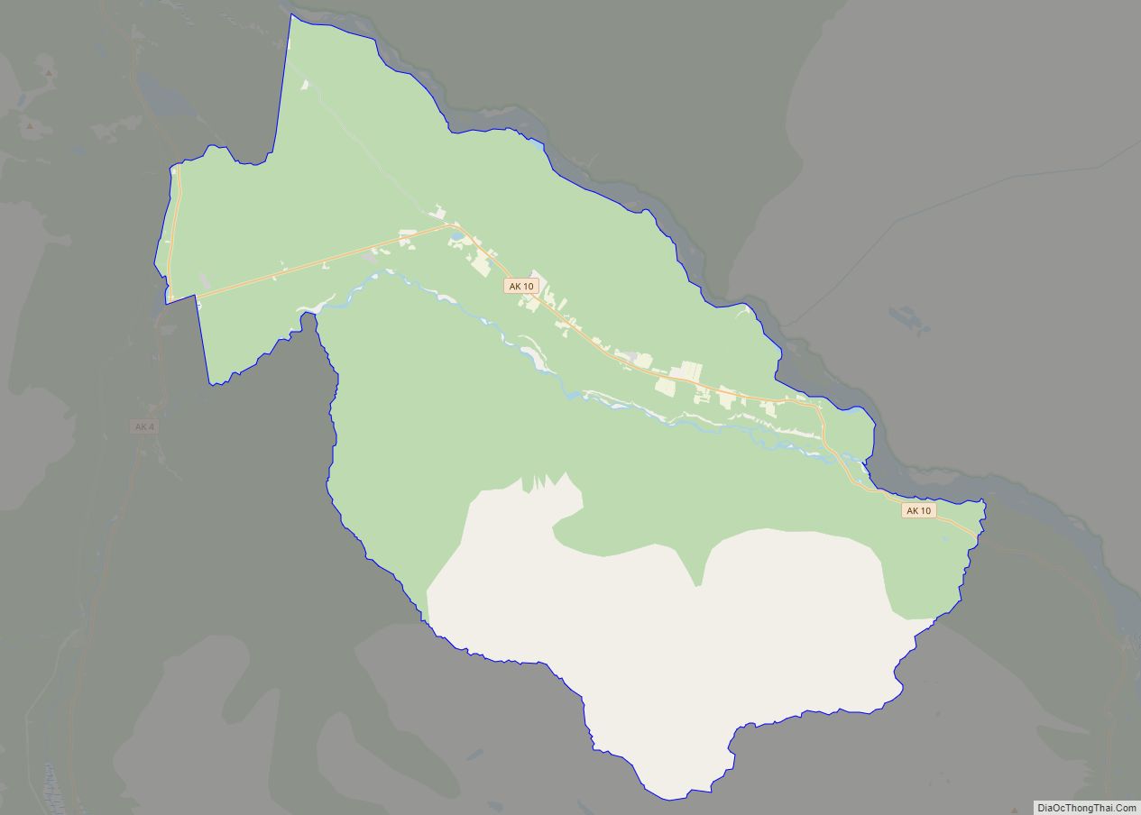
Map of Kenai city

Map of Kenai city

Kenai (/ˈkiːnaɪ/, KEE-ny) (Dena’ina: Shk’ituk’t; Russian: Кенай, Kenay) is a city in the Kenai Peninsula Borough in the U.S. state of Alaska. It is one hundred and fifty-eight miles by road southwest from Anchorage. The population was 7,424 as of the 2020 census, up from 7,100 in 2010, the fifteenth-most populated city in the state. … Read more

Map of Kasilof CDP

Map of Kasilof CDP

Kasilof (/kəˈsiːlɒf/ kə-SEE-lof; Dena’ina: Ggasilat, Russian: Касилов) is a census-designated place (CDP) in Kenai Peninsula Borough, Alaska, United States. At the 2020 census the population was 525, down from 549 in 2010. Kasilof CDP overview: Name: Kasilof CDP LSAD Code: 57 LSAD Description: CDP (suffix) State: Alaska County: Kenai Peninsula Borough Elevation: 125 ft (38 m) Total … Read more

Map of King Cove city

Map of King Cove city

King Cove (Aleut: Agdaaĝux̂) is a city in Aleutians East Borough, Alaska, United States. As of the 2010 census, its population was 938, up from 792 in 2000, but at the 2020 census this had reduced to 757. King Cove city overview: Name: King Cove city LSAD Code: 25 LSAD Description: city (suffix) State: Alaska … Read more

Map of Kiana city

Map of Kiana city

Kiana (Inupiaq: Katyaak or Katyaaq) is a city in Northwest Arctic Borough, Alaska, United States. At the 2010 census the population was 361, down from 388 in 2000. Kiana city overview: Name: Kiana city LSAD Code: 25 LSAD Description: city (suffix) State: Alaska County: Northwest Arctic Borough Incorporated: June 30, 1964 Elevation: 92 ft (28 m) Total … Read more

Map of Ketchikan city

Map of Ketchikan city

Ketchikan (/ˈkɛtʃɪkæn/ KETCH-ih-kan; Tlingit: Kichx̱áan) is a city in and the borough seat of the Ketchikan Gateway Borough of Alaska. It is the state’s southeasternmost major settlement. Downtown Ketchikan is a National Historic District. With a population at the 2020 census of 8,192, up from 8,050 in 2010, it is the sixth-most populous city in … Read more

Map of Kivalina city

Map of Kivalina city

Kivalina (kiv-uh-LEE-nuh) (Inupiaq: Kivalliñiq) is a city and village in Northwest Arctic Borough, Alaska, United States. The population was 377 at the 2000 census and 374 as of the 2010 census. The island on which the village lies is threatened by rising sea levels and coastal erosion caused by climate change. As of 2013, it … Read more

Map of Kipnuk CDP

Map of Kipnuk CDP

Kipnuk (Central Yupik: Qipneq) is a census-designated place (CDP) in Bethel Census Area, Alaska, United States. At the 2010 census the population was 639, down from 644 in 2000. Kipnuk consists mostly of Yup’ik speaking Native Alaskans; the name means a “bend” referring to the bend in the (Qukaqliq) Kugkaktlik River where it is situated. … Read more

Map of King Salmon CDP

Map of King Salmon CDP

King Salmon is a census-designated place (CDP) in Bristol Bay Borough in the U.S. state of Alaska. It is 284 miles (457 km) southwest of Anchorage. As of the 2020 census the population was 307, down from 374 in 2010. It is home to Katmai National Park and Preserve. King Salmon is the borough seat of … Read more

Map of Klukwan CDP

Map of Klukwan CDP

Klukwan (Tlingit: Tlákw.aan) is a census-designated place (CDP) in Alaska, United States. It is technically in Hoonah-Angoon Census Area, though it is an enclave of Haines Borough. At the 2010 census the population was 95, down from 139 at the 2000 census. Klukwan CDP overview: Name: Klukwan CDP LSAD Code: 57 LSAD Description: CDP (suffix) … Read more

Map of Klawock city

Map of Klawock city

Klawock (Tlingit: Lawáak) is a city in Prince of Wales–Hyder Census Area, in the U.S. state of Alaska, on the west coast of Prince of Wales Island, on Klawock Inlet, across from Klawock Island. The population was 755 at the 2010 census, down from 854 in 2000. It is located 90 kilometres (56 mi) from Ketchikan, … Read more

Map of Knik-Fairview CDP

Map of Knik-Fairview CDP

Knik-Fairview is a census-designated place (CDP) in Matanuska-Susitna Borough, Alaska, United States. It is part of the Anchorage, Alaska Metropolitan Statistical Area. At the 2020 census the population was 19,297, up from 14,923 in 2010. It is the most populated CDP in Alaska. Knik-Fairview CDP overview: Name: Knik-Fairview CDP LSAD Code: 57 LSAD Description: CDP … Read more

Map of Kodiak Station CDP

Map of Kodiak Station CDP

Kodiak Station is a census-designated place (CDP) in Kodiak Island Borough, Alaska, United States. At the 2020 census the population was 1,673, up from 1,301 in 2010. Kodiak Station CDP overview: Name: Kodiak Station CDP LSAD Code: 57 LSAD Description: CDP (suffix) State: Alaska County: Kodiak Island Borough Total Area: 30.92 sq mi (80.09 km²) Land Area: 23.21 sq mi … Read more