Kiana (Inupiaq: Katyaak or Katyaaq) is a city in Northwest Arctic Borough, Alaska, United States. At the 2010 census the population was 361, down from 388 in 2000.
| Name: | Kiana city |
|---|---|
| LSAD Code: | 25 |
| LSAD Description: | city (suffix) |
| State: | Alaska |
| County: | Northwest Arctic Borough |
| Incorporated: | June 30, 1964 |
| Elevation: | 92 ft (28 m) |
| Total Area: | 0.19 sq mi (0.49 km²) |
| Land Area: | 0.19 sq mi (0.49 km²) |
| Water Area: | 0.00 sq mi (0.00 km²) |
| Total Population: | 447 |
| Population Density: | 2,377.66/sq mi (917.66/km²) |
| ZIP code: | 99749 |
| Area code: | 907 |
| FIPS code: | 0239300 |
| GNISfeature ID: | 1413311 |
Online Interactive Map
Click on ![]() to view map in "full screen" mode.
to view map in "full screen" mode.
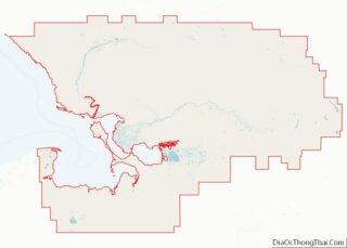
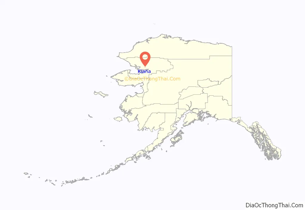
Kiana location map. Where is Kiana city?
History
Pre Contact
Kiana, meaning where three rivers meet, was founded several centuries ago. Before Kiana became a village, the Inupiat Eskimos tended to travel with certain animal herds; constantly hunting for meat and furs.
In the 1800s, the Inupiaqs of Kiana used to live along the Kobuk River. Throughout the year the villagers would hunt and fish near their houses. They moved to where there was an abundance of animals and fish. The Inupiaqs lived in sod houses, and did not live in them twice, because they would move to where the animals were.
When someone died inside the house they abandoned it, believing they would catch a contagious disease. Instead of building coffins or digging graves, the villagers wrapped the bodies of the deceased in cloths and put poles in them to make a teepee shape.
Archaeological study has been done on the local site ‘Igliqtiqsiugvigruaq’ (Swift Water Place) which was inhabited by the ancestors of the present day residents of Kiana from 1790 to 1810. The town consisted of burrowed homes connected by tunnels.
Early 20th Century
The first white men came up with boats in 1898 and changed the way of life. They settled in where is now Kiana. More white men came in 1901 and 1902, and started building houses. Inupiaq women moved to them and married them.
Archaeologists have discovered a pre-contact Inupiaq village near Kiana. From carbon dating, the archaeologists discovered the village was from the late 1700s to the early 1800s. When more digging was done, they found that some of the houses they excavated were connected with tunnels and passageways. The average house size in the village was about the size of typical one-roomed cabins. Some of the artifacts that were found include metal fragments and shards, as well as glass beads.
Kiana is the central village of the Kobuk river, for Kowagmiut Inupaiq Eskimos. Kiana became known to the Federal Government after a population increase, eventually making the town in to a city, in the year 1915. A United States Post Office was founded in the year 1964.
Before the post office was built, mail came only once a month. The mail transportation method was mainly by dogsled or by walking from one village to another. During this time, Kiana became a key supply city for coal and gold miners who were posted along the Squirrel River. The Blankenship Trading Post was managed by Walter Blankenship, and later by Robinson Blankenship and Ruth Blankenship Sandvik. This trading post was the only store with goods such as flour, salt, soda pop, coffee, tea, sugar, and fruit, both dried and canned.
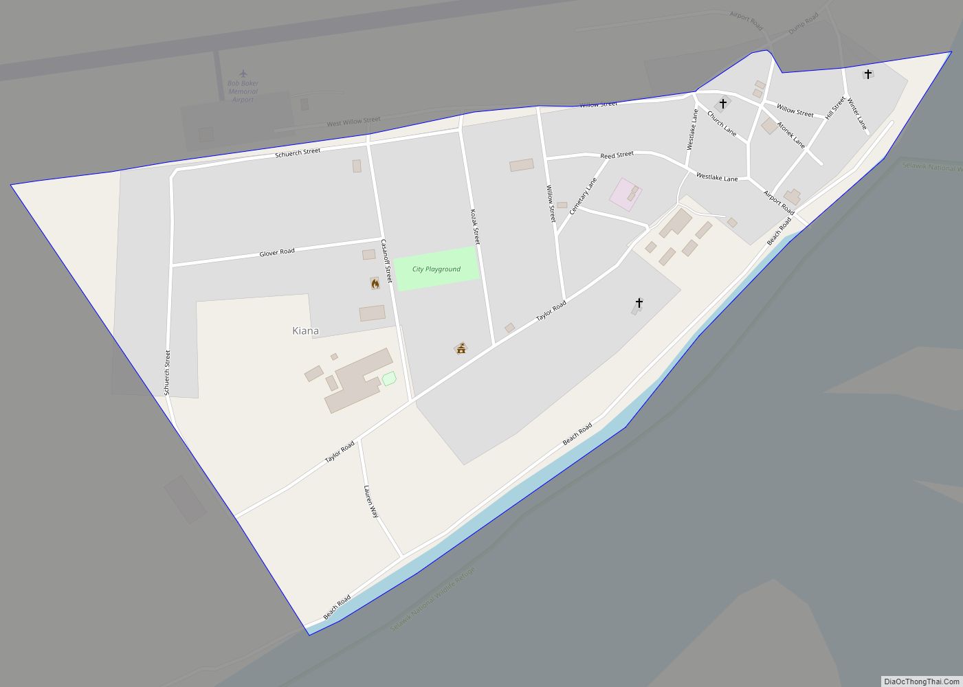
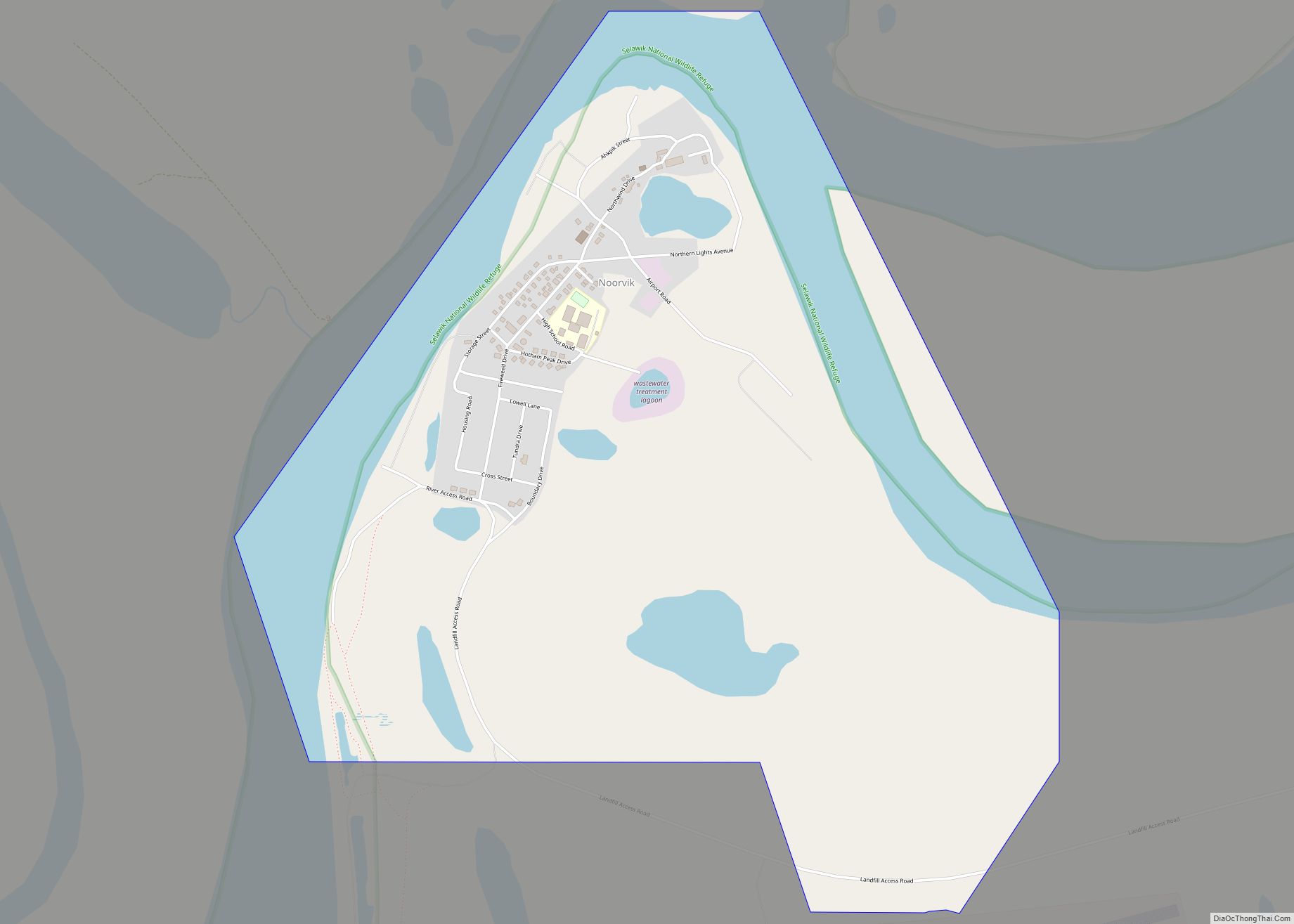
Kiana Road Map
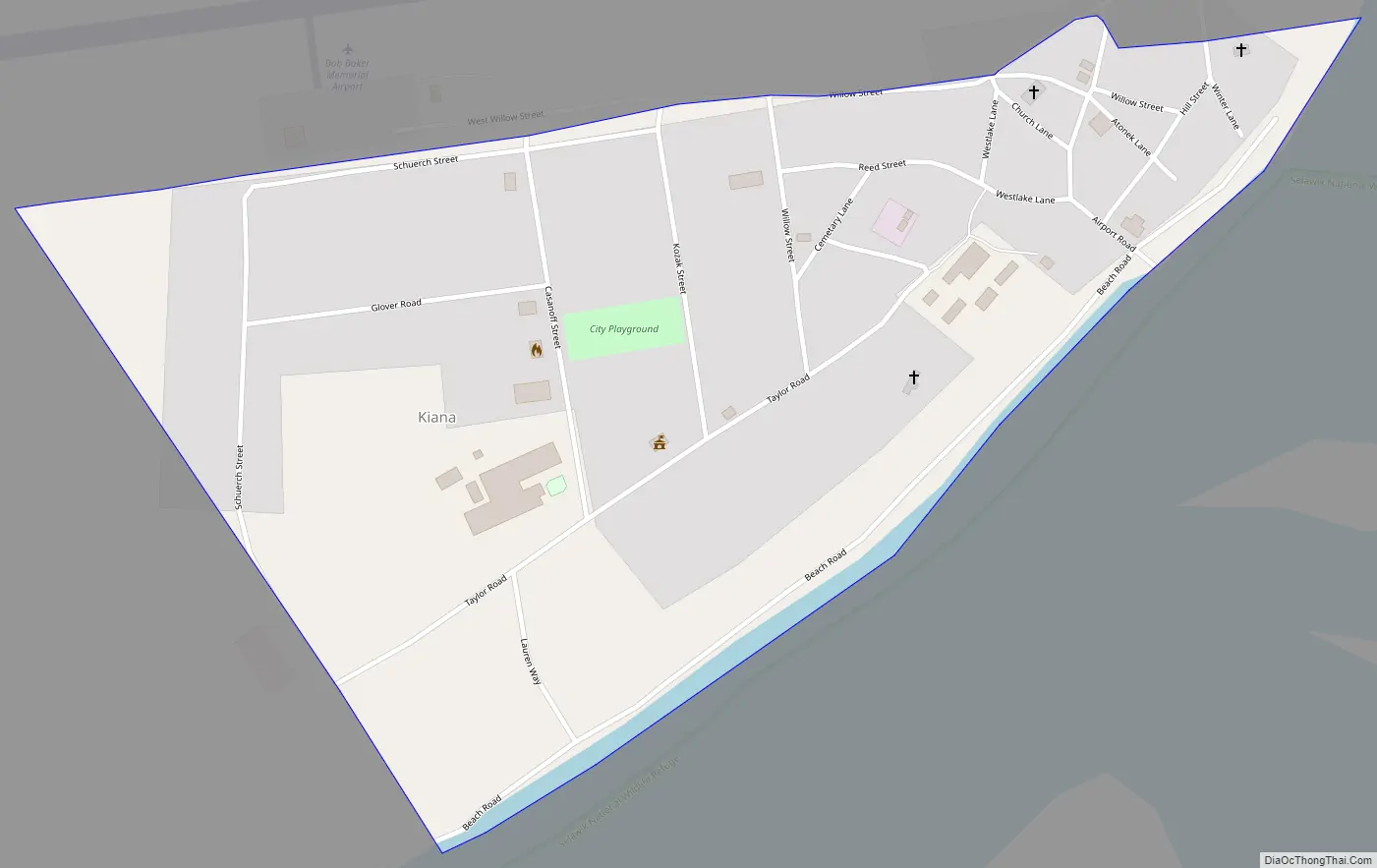
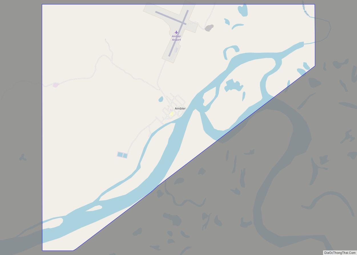
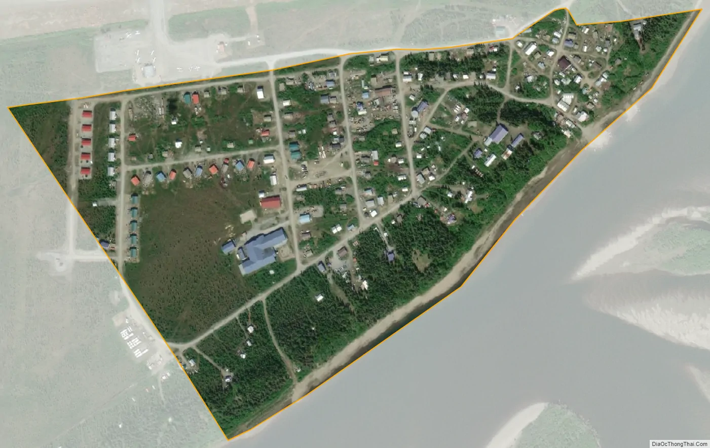
Kiana city Satellite Map
Geography
Kiana is located at 66°58′18″N 160°25′49″W / 66.97167°N 160.43028°W / 66.97167; -160.43028 (66.971720, -160.430168).
According to the United States Census Bureau, the city has a total area of 0.2 square miles (0.52 km), all of it land.
The village of Kiana is located where three rivers meet: the Squirrel River, Kobuk River, and big/small channel rivers. Kiana is in the Northwestern Alaska, 30 miles North of the Arctic Circle, and 57 air miles East of Kotzebue.
See also
Map of Alaska State and its subdivision:- Aleutians East
- Aleutians West
- Anchorage
- Bethel
- Bristol Bay
- Denali
- Dillingham
- Fairbanks North Star
- Haines
- Juneau
- Kenai Peninsula
- Ketchikan Gateway
- Kodiak Island
- Lake and Peninsula
- Matanuska-Susitna
- Nome
- North Slope
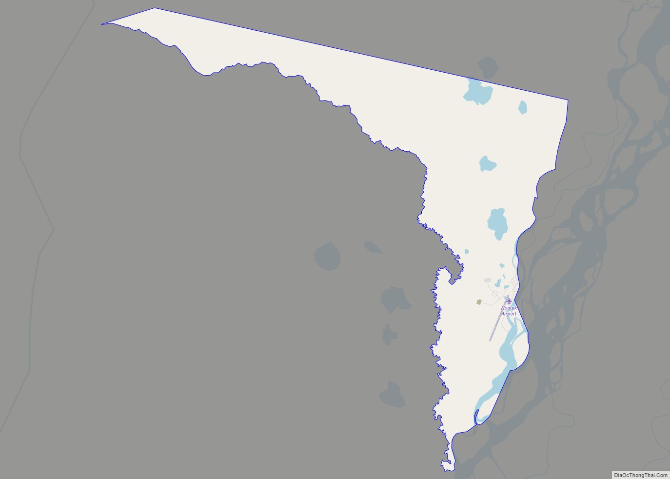
- Northwest Arctic
- Prince of Wales-Outer Ketchi
- Sitka
- Skagway-Yakutat-Angoon
- Southeast Fairbanks
- Valdez-Cordova
- Wade Hampton
- Wrangell-Petersburg
- Yukon-Koyukuk
- Alabama
- Alaska
- Arizona
- Arkansas
- California
- Colorado
- Connecticut
- Delaware
- District of Columbia
- Florida
- Georgia
- Hawaii
- Idaho
- Illinois
- Indiana
- Iowa
- Kansas
- Kentucky
- Louisiana
- Maine
- Maryland
- Massachusetts
- Michigan
- Minnesota
- Mississippi
- Missouri
- Montana
- Nebraska
- Nevada
- New Hampshire
- New Jersey
- New Mexico
- New York
- North Carolina
- North Dakota
- Ohio
- Oklahoma
- Oregon
- Pennsylvania
- Rhode Island
- South Carolina
- South Dakota
- Tennessee
- Texas
- Utah
- Vermont
- Virginia
- Washington
- West Virginia
- Wisconsin
- Wyoming