Francesville is a town in Salem Township, Pulaski County, in the U.S. state of Indiana. The population was 852 at the 2020 census. The motto for Francesville is “A small town with a big heart.” Francesville town overview: Name: Francesville town LSAD Code: 43 LSAD Description: town (suffix) State: Indiana County: Pulaski County Elevation: 679 ft ... Read more
Map of US Cities and Places
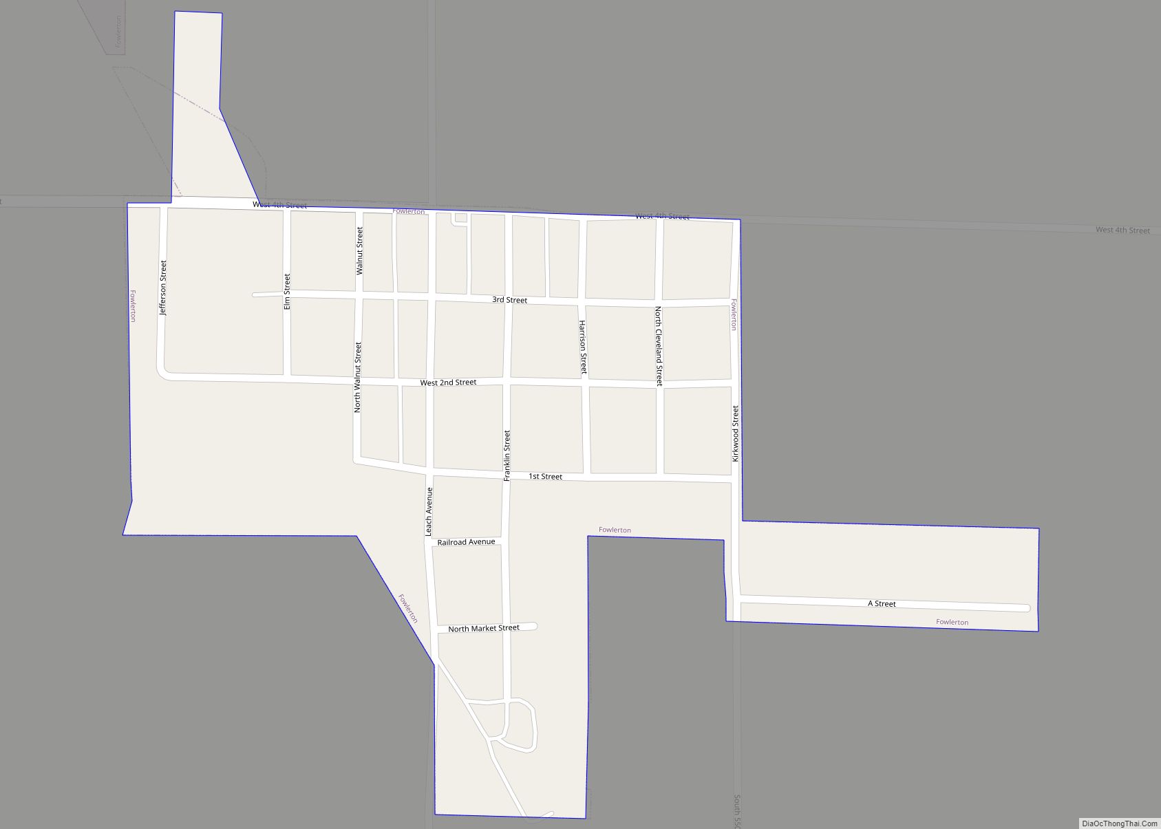
Fowlerton is a town in Fairmount Township, Grant County, Indiana, United States. The population was 261 at the 2010 census. Fowlerton town overview: Name: Fowlerton town LSAD Code: 43 LSAD Description: town (suffix) State: Indiana County: Grant County Elevation: 879 ft (268 m) Total Area: 0.20 sq mi (0.51 km²) Land Area: 0.20 sq mi (0.51 km²) Water Area: 0.00 sq mi (0.00 km²) Total Population: ... Read more
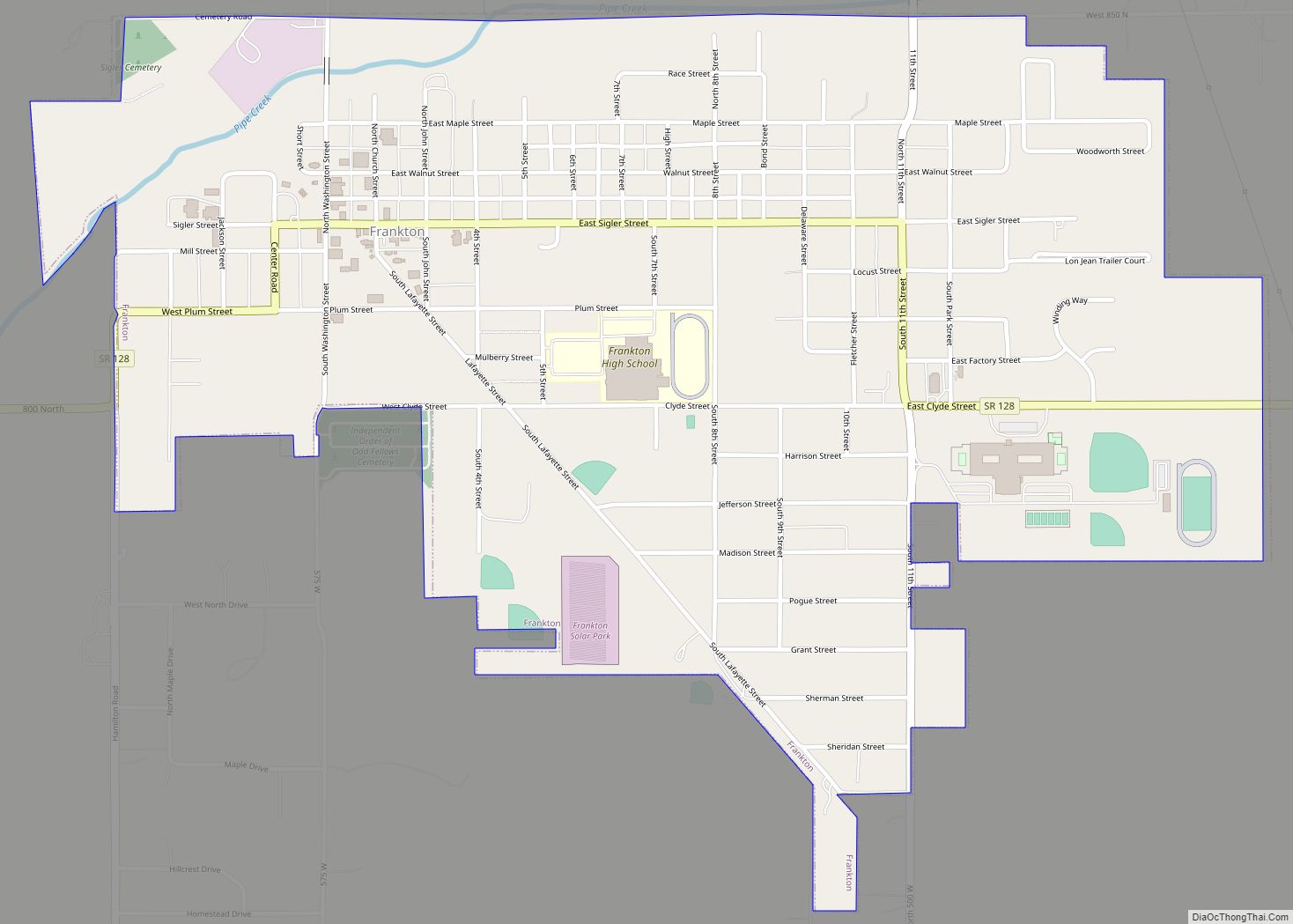
Frankton is a town in Pipe Creek and Lafayette townships, Madison County, Indiana, United States. It is part of the Indianapolis–Carmel–Anderson metropolitan statistical area. The population was 1,775 at the 2020 census. Frankton town overview: Name: Frankton town LSAD Code: 43 LSAD Description: town (suffix) State: Indiana County: Madison County Elevation: 837 ft (255 m) Total Area: ... Read more
Franklin is a city in Johnson County, Indiana, United States. The population was 23,712 at the 2010 census. Located about 20 miles (32 km) south of Indianapolis, the city is the county seat of Johnson County. The site of Franklin College, the city attracts numerous regional sports fans for the college teams, as well as audiences ... Read more
Frankfort is a city in Clinton County, Indiana, United States. The population was 16,422 at the 2010 census. The city is the county seat of Clinton County. Frankfort city overview: Name: Frankfort city LSAD Code: 25 LSAD Description: city (suffix) State: Indiana County: Clinton County Founded: 1830 Incorporated: 1846 Elevation: 850 ft (259 m) Total Area: 8.05 sq mi ... Read more
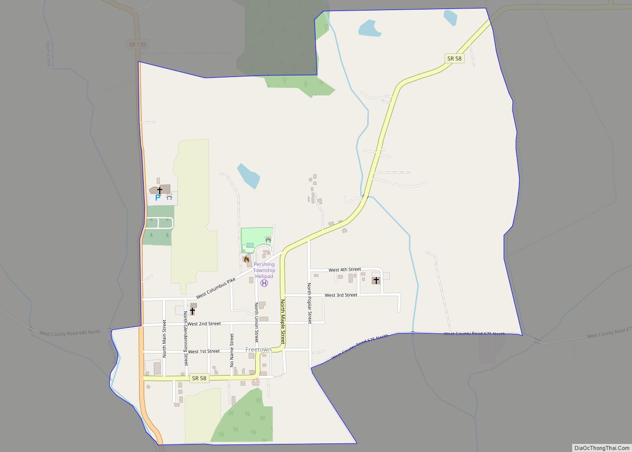
Freetown is an unincorporated community and census-designated place in Pershing Township, Jackson County, Indiana, United States. As of the 2010 census the population was 385. Freetown CDP overview: Name: Freetown CDP LSAD Code: 57 LSAD Description: CDP (suffix) State: Indiana County: Jackson County Elevation: 650 ft (200 m) Total Area: 0.69 sq mi (1.80 km²) Land Area: 0.69 sq mi (1.79 km²) Water ... Read more
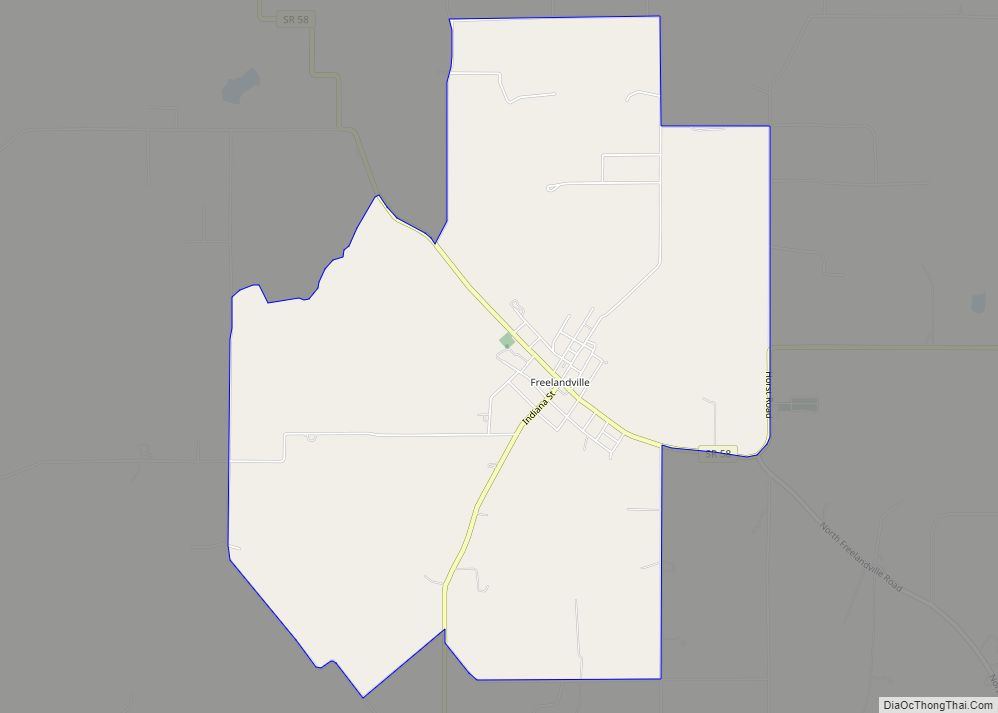
Freelandville or Freelandsville is an unincorporated community and census-designated place in Widner Township, Knox County, Indiana, United States. As of the 2010 United States Census it had a population of 643. Freelandville CDP overview: Name: Freelandville CDP LSAD Code: 57 LSAD Description: CDP (suffix) State: Indiana County: Knox County Elevation: 574 ft (175 m) Total Area: 5.57 sq mi ... Read more
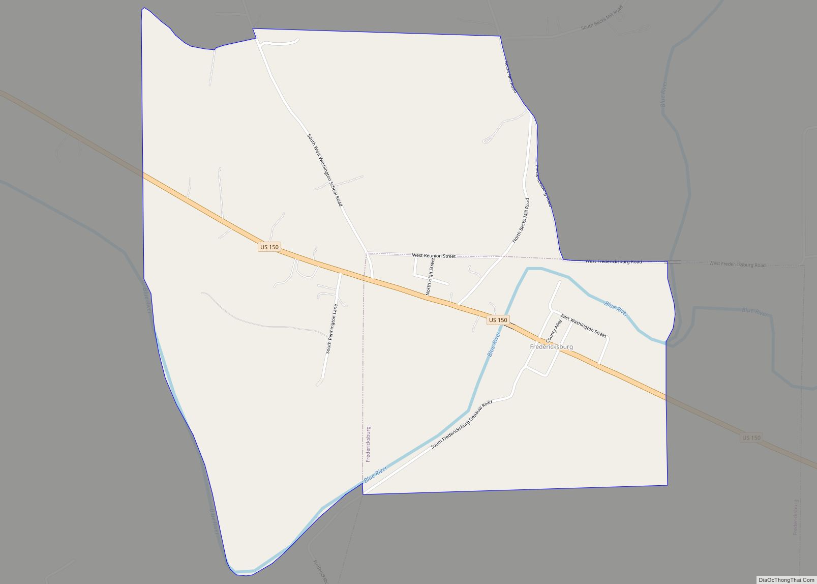
Fredericksburg CDP overview: Name: Fredericksburg CDP LSAD Code: 57 LSAD Description: CDP (suffix) State: Indiana County: Washington County FIPS code: 1825720 Online Interactive Map Fredericksburg online map. Source: Basemap layers from Google Map, Open Street Map (OSM), Arcgisonline, Wmflabs. Boundary Data from Database of Global Administrative Areas. Fredericksburg location map. Where is Fredericksburg CDP? Fredericksburg ... Read more
Fulton is a town in Liberty Township, Fulton County, Indiana, United States. The population was 333 at the 2010 census. Fulton town overview: Name: Fulton town LSAD Code: 43 LSAD Description: town (suffix) State: Indiana County: Fulton County Elevation: 794 ft (242 m) Total Area: 0.19 sq mi (0.48 km²) Land Area: 0.19 sq mi (0.48 km²) Water Area: 0.00 sq mi (0.00 km²) Total Population: ... Read more
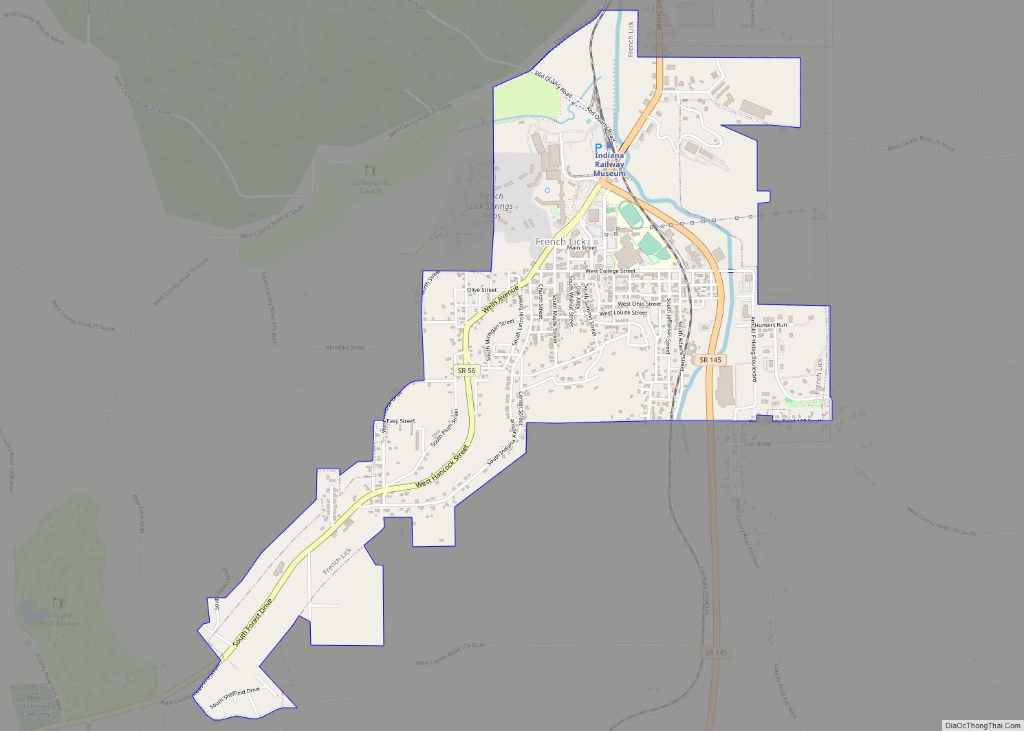
French Lick is a town in French Lick Township, Orange County, Indiana. The population was 1,807 at the time of the 2010 census. French Lick town overview: Name: French Lick town LSAD Code: 43 LSAD Description: town (suffix) State: Indiana County: Orange County Elevation: 568 ft (173 m) Total Area: 1.82 sq mi (4.72 km²) Land Area: 1.82 sq mi (4.72 km²) Water ... Read more
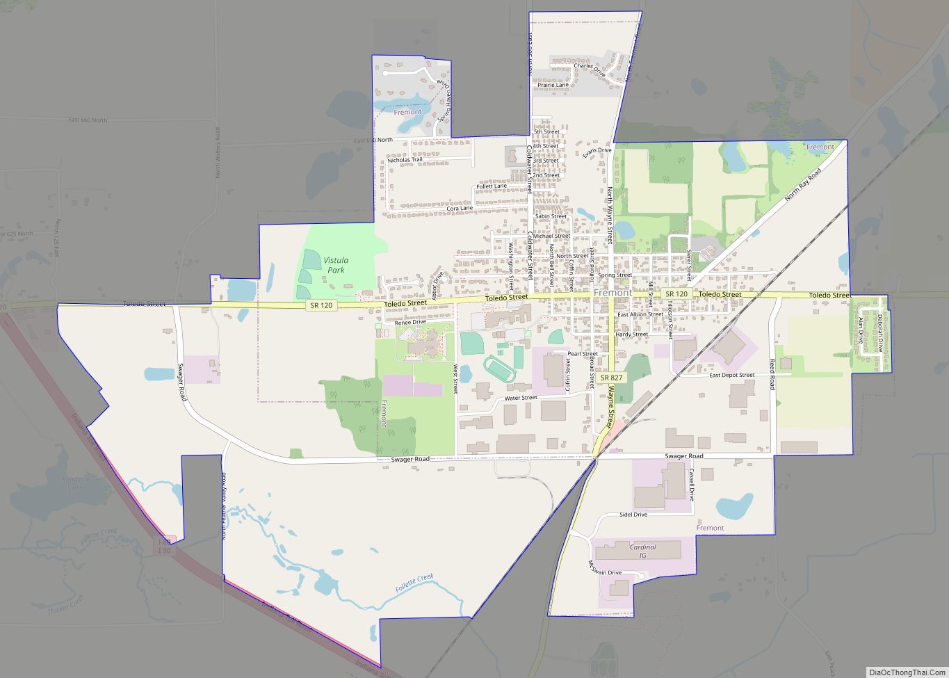
Fremont is a town in Fremont Township, Steuben County, in the U.S. state of Indiana. The population was 2,138 at the 2010 census. Fremont town overview: Name: Fremont town LSAD Code: 43 LSAD Description: town (suffix) State: Indiana County: Steuben County Elevation: 1,056 ft (322 m) Total Area: 3.12 sq mi (8.08 km²) Land Area: 3.11 sq mi (8.05 km²) Water Area: 0.01 sq mi ... Read more
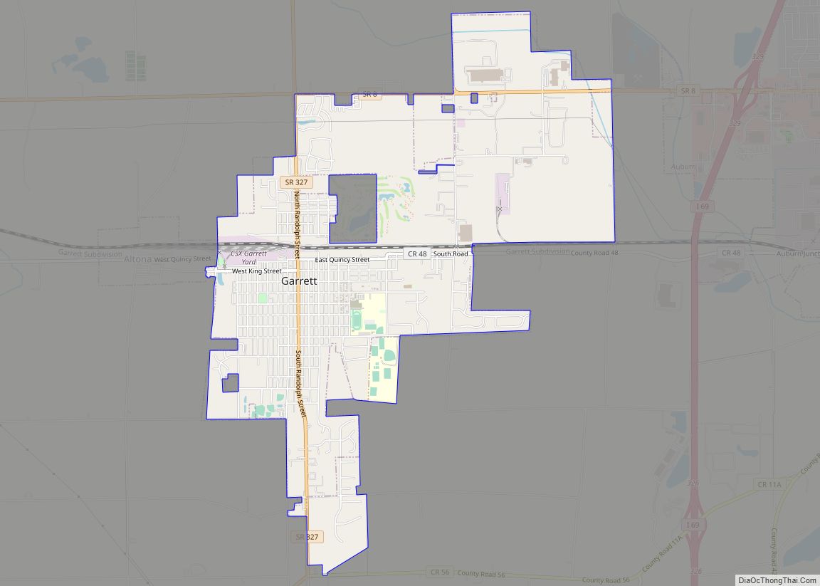
Garrett is a city in Keyser Township, DeKalb County, Indiana, United States. The population was 6,286 at the 2010 census. Garrett city overview: Name: Garrett city LSAD Code: 25 LSAD Description: city (suffix) State: Indiana County: DeKalb County Elevation: 879 ft (268 m) Total Area: 4.17 sq mi (10.79 km²) Land Area: 4.17 sq mi (10.79 km²) Water Area: 0.00 sq mi (0.00 km²) Total Population: ... Read more

