Franklin is a city in Johnson County, Indiana, United States. The population was 23,712 at the 2010 census. Located about 20 miles (32 km) south of Indianapolis, the city is the county seat of Johnson County. The site of Franklin College, the city attracts numerous regional sports fans for the college teams, as well as audiences for its art events.
| Name: | Franklin city |
|---|---|
| LSAD Code: | 25 |
| LSAD Description: | city (suffix) |
| State: | Indiana |
| County: | Johnson County |
| Elevation: | 725 ft (221 m) |
| Total Area: | 14.76 sq mi (38.23 km²) |
| Land Area: | 14.76 sq mi (38.23 km²) |
| Water Area: | 0.00 sq mi (0.00 km²) |
| Total Population: | 25,313 |
| Population Density: | 1,714.62/sq mi (662.04/km²) |
| ZIP code: | 46131 |
| Area code: | 317 |
| FIPS code: | 1825450 |
| GNISfeature ID: | 0434762 |
| Website: | http://www.franklin.in.gov/ |
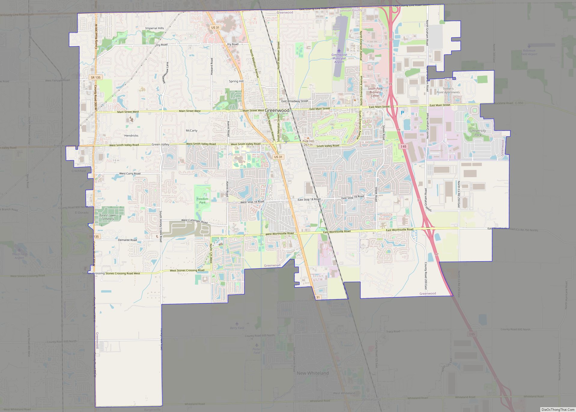
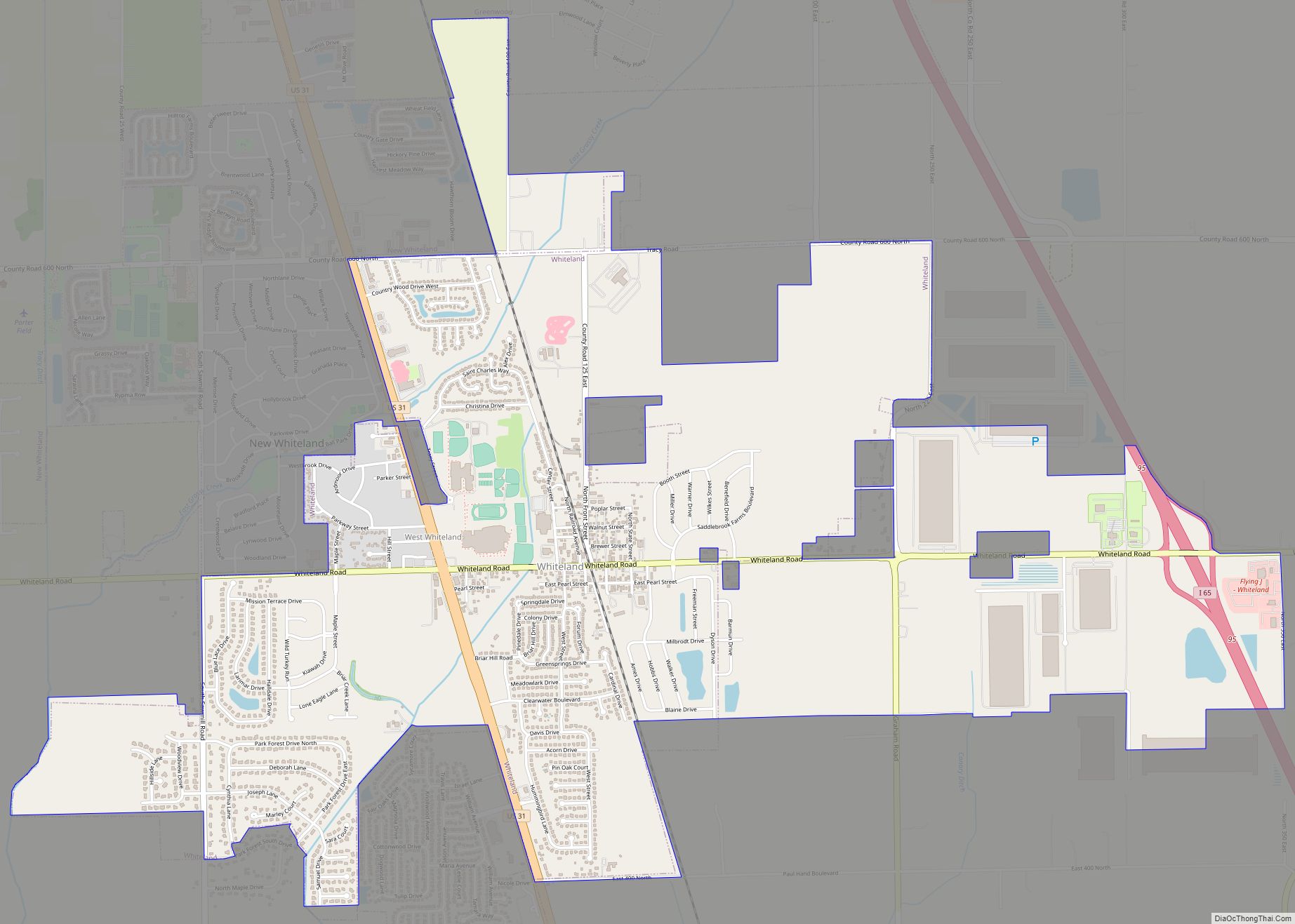
Online Interactive Map
Click on ![]() to view map in "full screen" mode.
to view map in "full screen" mode.
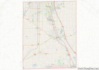
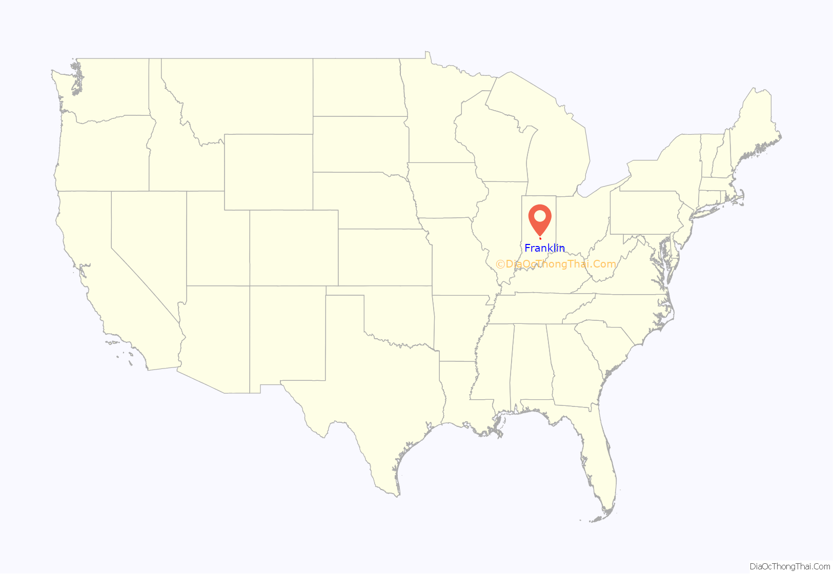
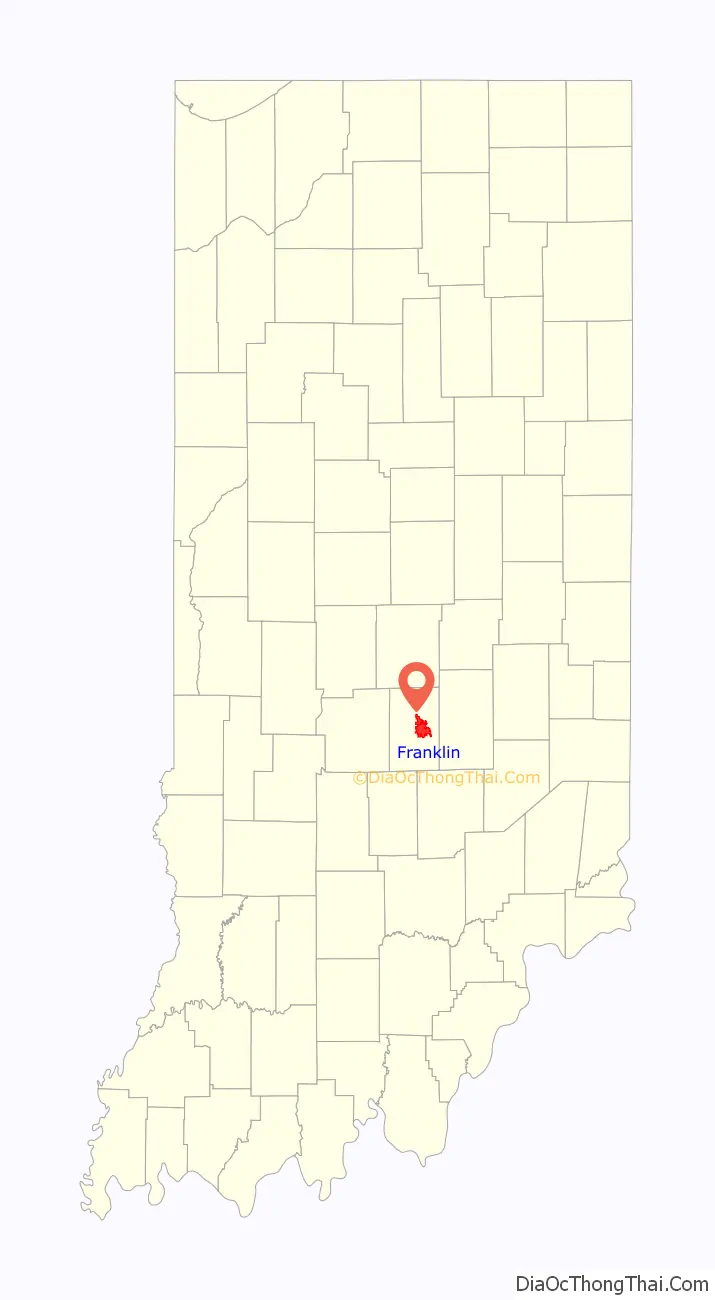
Franklin location map. Where is Franklin city?
History
Franklin was platted in 1823. It was named after Benjamin Franklin. The Franklin post office was established in 1824.
Bethel African Methodist Episcopal Church, Franklin College Library (Shirk Hall), Franklin College-Old Main, Franklin Commercial Historic District, Franklin Senior High School, Greenlawn Cemetery, Herriott House, Johnson County Courthouse Square, Martin Place Historic District, Masonic Temple, and August Zeppenfeld House are listed on the National Register of Historic Places.
Franklin Wonder Five
The small town became nationally famous during the 1920s due to the outstanding athletic achievements of the local high school basketball team, who became known as the Franklin Wonder Five. A small group who had played together as boys, led by Fuzzy Vandivier and coached by Ernest “Griz” Wagner, they became the first high school team to win the state championship for three consecutive years (1920–22). The youths followed Wagner to the local Franklin College, where he became coach and they earned the title of national college champions in 1923. They turned down an offer to play against the top professional team, the New York Celtics.
Life magazine feature
The December 2, 1940 issue of Life magazine included a photo essay by Bernard Hoffman entitled, “A Small Town’s Saturday Night,” depicting farmers Glen and Norris Dunn and family on a typical Saturday night in Franklin: Dad getting a hair cut, and the kids seeing a movie at the Artcraft, people at the drugstore, as well as photos of other social spots, such as Nick’s Candy Kitchen and the town’s “lovers’ lane.” The nighttime photo showing double-parked cars and thick crowds on Jefferson Street is perhaps the best known of the set. According to the late-20th century critic James Guimond in his book on American photography,
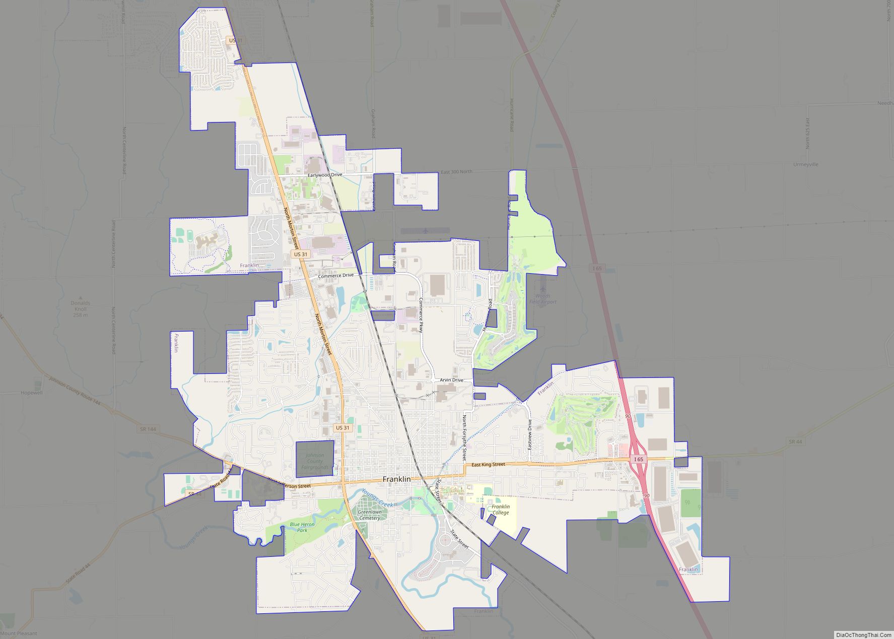
Franklin Road Map
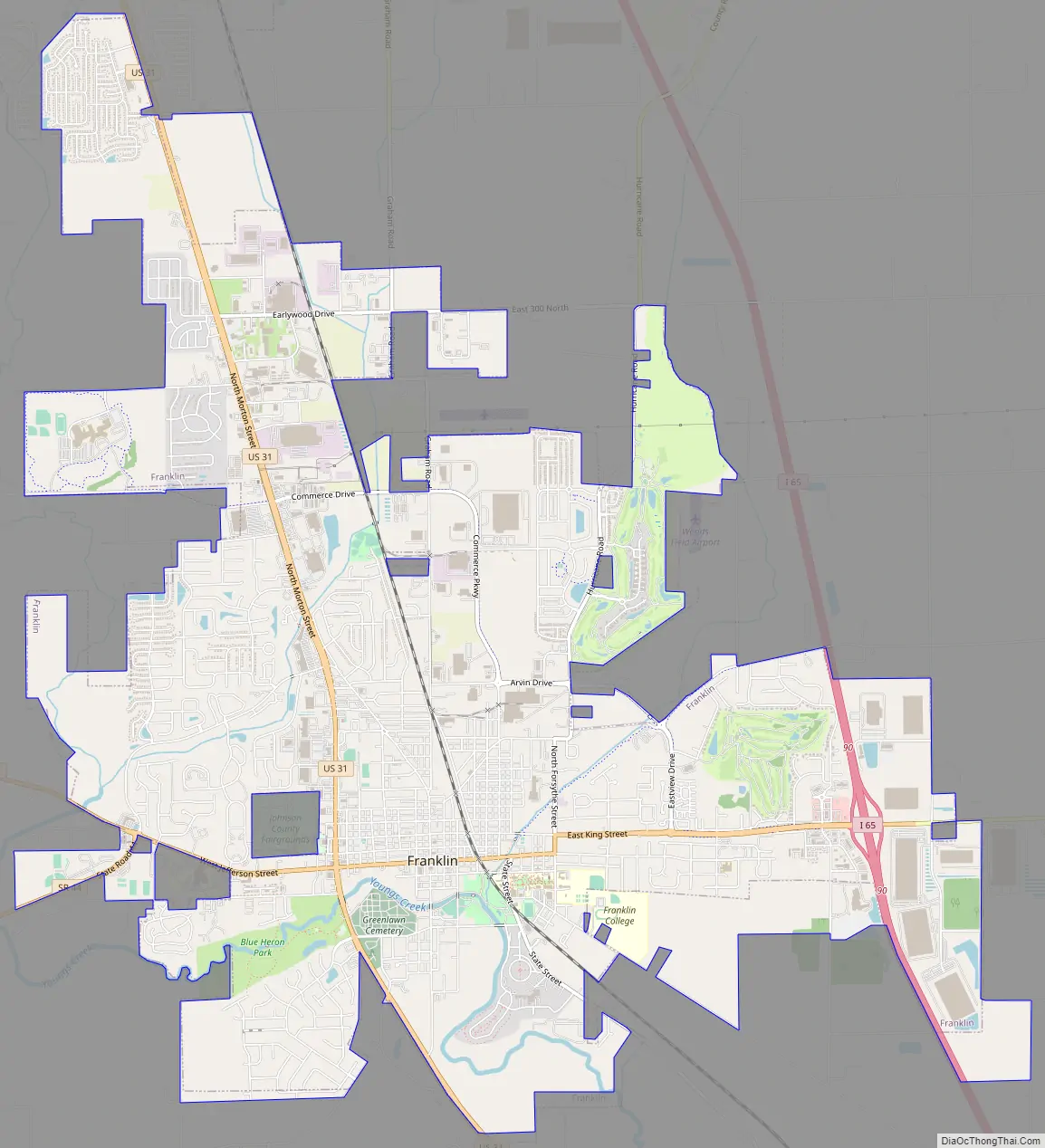
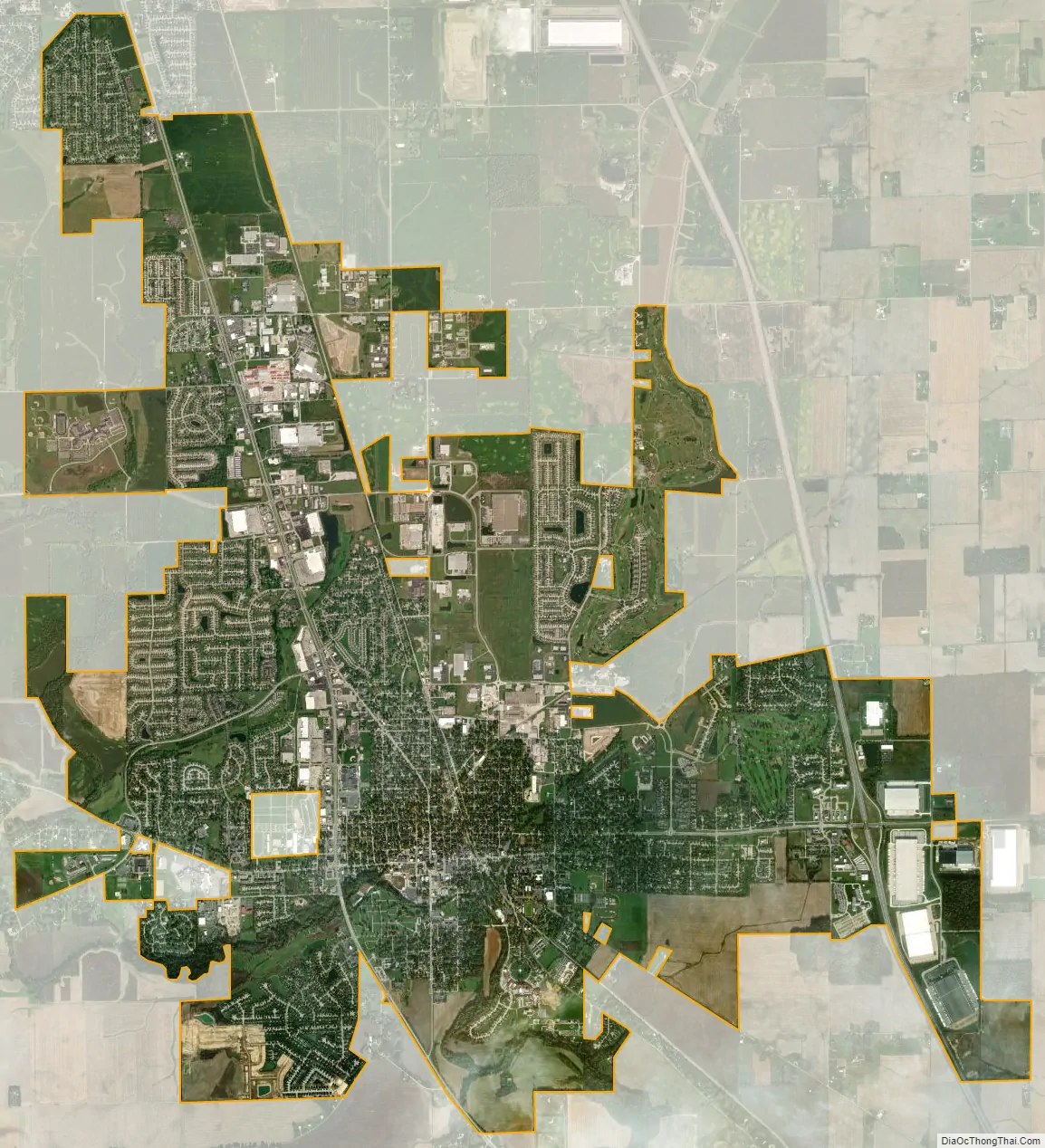
Franklin city Satellite Map
Geography
Franklin is located at 39°29′23″N 86°3′24″W / 39.48972°N 86.05667°W / 39.48972; -86.05667 (39.489585, -86.056784), 20 miles (32 km) south of Indianapolis and 90 miles (140 km) north of Louisville, Kentucky, on I-65 and U.S. 31.
According to the 2010 census, Franklin has a total area of 13.01 square miles (33.70 km), all land.
There are three small waterways in Franklin: Canary Creek and Hurricane Creek flow into Young’s Creek. These creeks flood frequently. Their small floodplain has been adapted as the basis of Franklin’s green walkways and parks, which extend the entire length of the town. Hurricane Creek empties into Young’s Creek in Province Park, downtown, which flows into the Big Blue River farther South. A buried stream, Roaring Run, flows beneath Franklin. In the June 2008 Midwest floods, all of these streams overflowed, damaging or destroying more than 100 houses throughout Franklin, including some entire neighborhoods. Since 2008, The city of Franklin has bought many of the flood-damaged homes, and cleared them to make more green space, and expand the parks system. Province Park is home to a small family cemetery of the George King family, one of the original founding families of Franklin.
Climate
The climate in this area is characterized by hot, humid summers and generally mild to cool winters. According to the Köppen Climate Classification system, Franklin has a humid subtropical climate, abbreviated “Cfa” on climate maps.
See also
Map of Indiana State and its subdivision:- Adams
- Allen
- Bartholomew
- Benton
- Blackford
- Boone
- Brown
- Carroll
- Cass
- Clark
- Clay
- Clinton
- Crawford
- Daviess
- De Kalb
- Dearborn
- Decatur
- Delaware
- Dubois
- Elkhart
- Fayette
- Floyd
- Fountain
- Franklin
- Fulton
- Gibson
- Grant
- Greene
- Hamilton
- Hancock
- Harrison
- Hendricks
- Henry
- Howard
- Huntington
- Jackson
- Jasper
- Jay
- Jefferson
- Jennings
- Johnson
- Knox
- Kosciusko
- LaGrange
- Lake
- Lake Michigan
- LaPorte
- Lawrence
- Madison
- Marion
- Marshall
- Martin
- Miami
- Monroe
- Montgomery
- Morgan
- Newton
- Noble
- Ohio
- Orange
- Owen
- Parke
- Perry
- Pike
- Porter
- Posey
- Pulaski
- Putnam
- Randolph
- Ripley
- Rush
- Saint Joseph
- Scott
- Shelby
- Spencer
- Starke
- Steuben
- Sullivan
- Switzerland
- Tippecanoe
- Tipton
- Union
- Vanderburgh
- Vermillion
- Vigo
- Wabash
- Warren
- Warrick
- Washington
- Wayne
- Wells
- White
- Whitley
- Alabama
- Alaska
- Arizona
- Arkansas
- California
- Colorado
- Connecticut
- Delaware
- District of Columbia
- Florida
- Georgia
- Hawaii
- Idaho
- Illinois
- Indiana
- Iowa
- Kansas
- Kentucky
- Louisiana
- Maine
- Maryland
- Massachusetts
- Michigan
- Minnesota
- Mississippi
- Missouri
- Montana
- Nebraska
- Nevada
- New Hampshire
- New Jersey
- New Mexico
- New York
- North Carolina
- North Dakota
- Ohio
- Oklahoma
- Oregon
- Pennsylvania
- Rhode Island
- South Carolina
- South Dakota
- Tennessee
- Texas
- Utah
- Vermont
- Virginia
- Washington
- West Virginia
- Wisconsin
- Wyoming