Frankfort is a city in Clinton County, Indiana, United States. The population was 16,422 at the 2010 census. The city is the county seat of Clinton County.
| Name: | Frankfort city |
|---|---|
| LSAD Code: | 25 |
| LSAD Description: | city (suffix) |
| State: | Indiana |
| County: | Clinton County |
| Founded: | 1830 |
| Incorporated: | 1846 |
| Elevation: | 850 ft (259 m) |
| Total Area: | 8.05 sq mi (20.86 km²) |
| Land Area: | 8.05 sq mi (20.86 km²) |
| Water Area: | 0.00 sq mi (0.00 km²) |
| Total Population: | 16,715 |
| Population Density: | 2,075.11/sq mi (801.21/km²) |
| ZIP code: | 46041 |
| Area code: | 765 |
| FIPS code: | 1825324 |
| GNISfeature ID: | 0434761 |
| Website: | frankfort-in.gov |
Online Interactive Map
Click on ![]() to view map in "full screen" mode.
to view map in "full screen" mode.
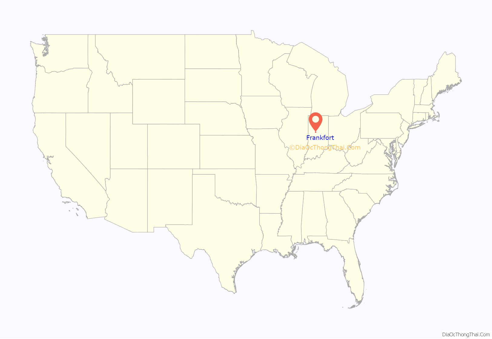
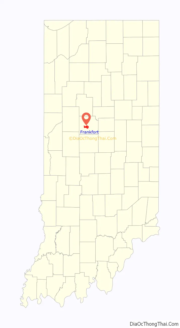
Frankfort location map. Where is Frankfort city?
History
Brothers John, William and Nicholas Pence, previously of Warren County, Ohio, settled on the land on which Frankfort now stands in 1829, having entered it from the government in 1827 and 1828. In 1830, the brothers donated 60 acres (240,000 m) of the land to the county commissioners, a donation which led to the establishment of the county seat at that site rather than in Jefferson, a community which had also been vying for the honor. The new town was named Frankfort at the brothers’ request and honors their German great-grandparents’ home of Frankfurt am Main.
The town of Frankfort was laid off on the 60-acre (240,000 m) tract by William Douglass, the county agent, and the plat filed on June 8, 1830. The original plat consisted of 64 lots in eight blocks surrounding a public square where the courthouse now stands. The county board paid contractors Allen & Michael the sum of $20 to erect the first courthouse, a 1+1⁄2-story temporary structure made of logs hewn from trees that grew on the square and surrounding streets. Its replacement was built by contractor John Elder in 1837 and 1838 for $12,000 and operated for 45 years. Indianapolis architect George W. Bunting in 1881 designed the third courthouse, a 165-foot (50 m) tall structure built of Indiana limestone by contractors Farman & Pearce for approximately $200,000. Its cornerstone was laid September 2, 1882.
The youngest elected mayor of Frankfort was Robert Keene at the age of 21 when he took office in January 1922 just one month prior to the fire at Old Stoney on February 24, 1922. At the time of the fire, Old Stoney was used as the high school. Today, Old Stoney is used as City Hall.
In addition to Old Stoney, the Christian Ridge Historic District, Clinton County Courthouse, Charles H. and Emma Condon House, Frankfort Commercial Historic District, and South Frankfort Historic District are listed on the National Register of Historic Places.
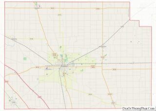
Frankfort Road Map
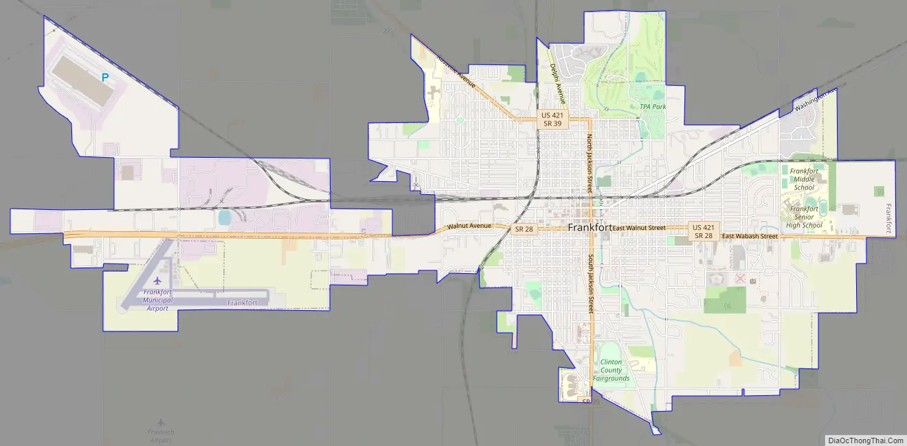
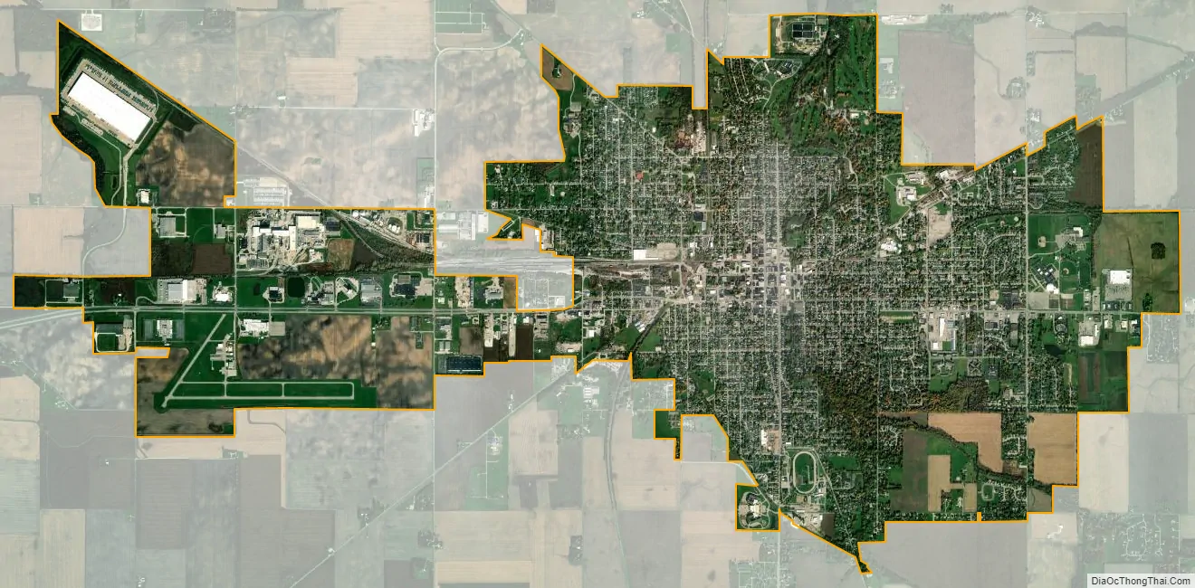
Frankfort city Satellite Map
Geography
According to the 2010 census, Frankfort has a total area of 6.31 square miles (16.34 km), all land.
See also
Map of Indiana State and its subdivision:- Adams
- Allen
- Bartholomew
- Benton
- Blackford
- Boone
- Brown
- Carroll
- Cass
- Clark
- Clay
- Clinton
- Crawford
- Daviess
- De Kalb
- Dearborn
- Decatur
- Delaware
- Dubois
- Elkhart
- Fayette
- Floyd
- Fountain
- Franklin
- Fulton
- Gibson
- Grant
- Greene
- Hamilton
- Hancock
- Harrison
- Hendricks
- Henry
- Howard
- Huntington
- Jackson
- Jasper
- Jay
- Jefferson
- Jennings
- Johnson
- Knox
- Kosciusko
- LaGrange
- Lake
- Lake Michigan
- LaPorte
- Lawrence
- Madison
- Marion
- Marshall
- Martin
- Miami
- Monroe
- Montgomery
- Morgan
- Newton
- Noble
- Ohio
- Orange
- Owen
- Parke
- Perry
- Pike
- Porter
- Posey
- Pulaski
- Putnam
- Randolph
- Ripley
- Rush
- Saint Joseph
- Scott
- Shelby
- Spencer
- Starke
- Steuben
- Sullivan
- Switzerland
- Tippecanoe
- Tipton
- Union
- Vanderburgh
- Vermillion
- Vigo
- Wabash
- Warren
- Warrick
- Washington
- Wayne
- Wells
- White
- Whitley
- Alabama
- Alaska
- Arizona
- Arkansas
- California
- Colorado
- Connecticut
- Delaware
- District of Columbia
- Florida
- Georgia
- Hawaii
- Idaho
- Illinois
- Indiana
- Iowa
- Kansas
- Kentucky
- Louisiana
- Maine
- Maryland
- Massachusetts
- Michigan
- Minnesota
- Mississippi
- Missouri
- Montana
- Nebraska
- Nevada
- New Hampshire
- New Jersey
- New Mexico
- New York
- North Carolina
- North Dakota
- Ohio
- Oklahoma
- Oregon
- Pennsylvania
- Rhode Island
- South Carolina
- South Dakota
- Tennessee
- Texas
- Utah
- Vermont
- Virginia
- Washington
- West Virginia
- Wisconsin
- Wyoming