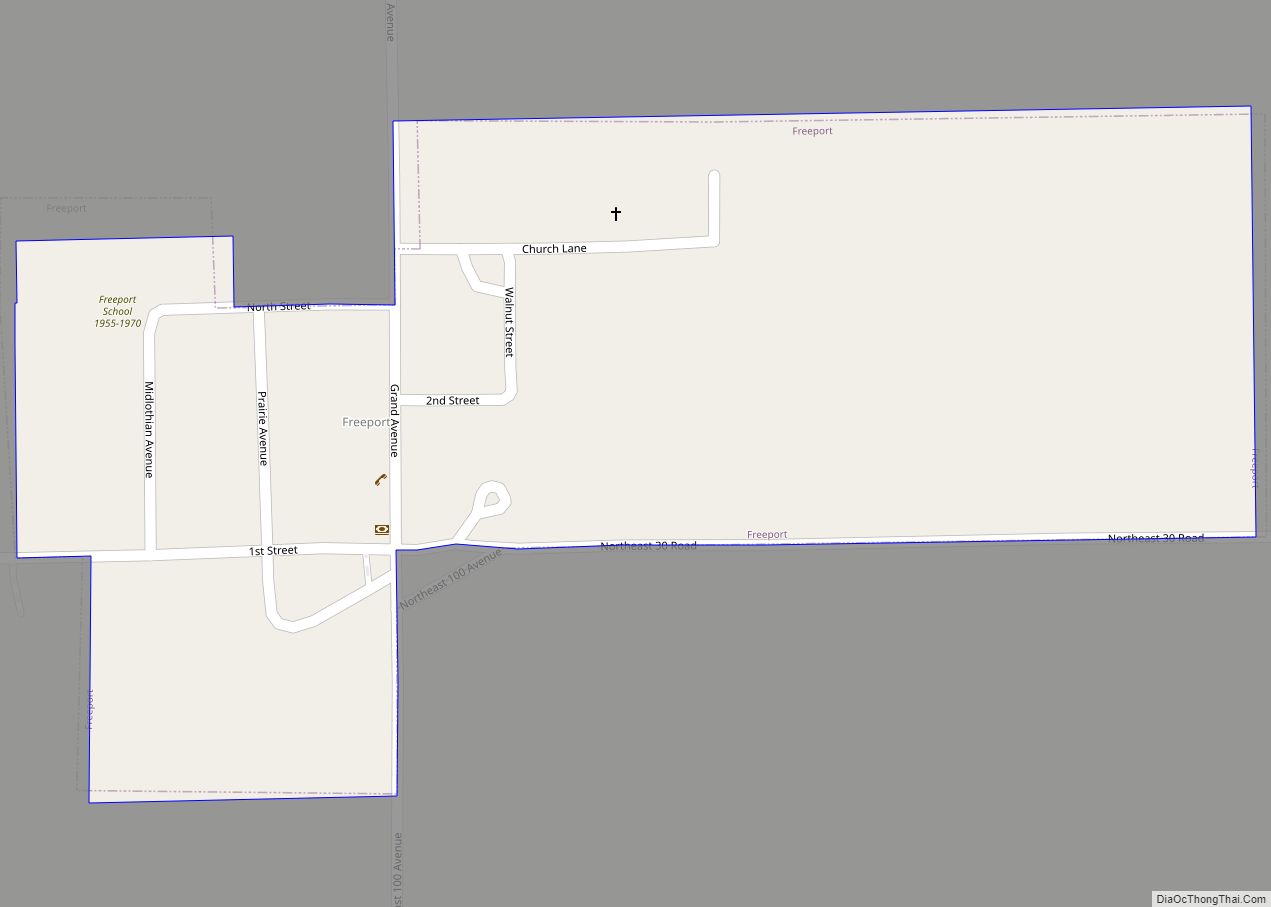
Freeport city overview: Name: Freeport city LSAD Code: 25 LSAD Description: city (suffix) State: Kansas County: Harper County FIPS code: 2024725 Online Interactive Map Freeport online map. Source: Basemap layers from Google Map, Open Street Map (OSM), Arcgisonline, Wmflabs. Boundary Data from Database of Global Administrative Areas. Freeport location map. Where is Freeport city? Freeport ... Read more
Map of US Cities and Places
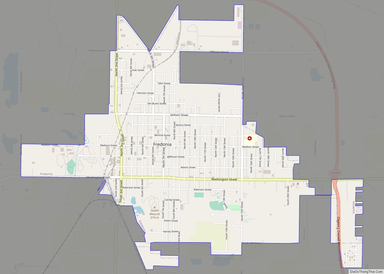
Fredonia is a city in and the county seat of Wilson County, Kansas, United States. As of the 2020 census, the population of the city was 2,151. The city was founded in 1868, and saw considerable expansion in the early 20th century, with a fossil fuel boom. Fredonia city overview: Name: Fredonia city LSAD Code: ... Read more
Fulton is a city in Bourbon County, Kansas, United States. As of the 2020 census, the population of the city was 165. Fulton city overview: Name: Fulton city LSAD Code: 25 LSAD Description: city (suffix) State: Kansas County: Bourbon County Founded: 1869 Incorporated: 1884 Elevation: 843 ft (257 m) Total Area: 0.19 sq mi (0.50 km²) Land Area: 0.19 sq mi (0.50 km²) ... Read more
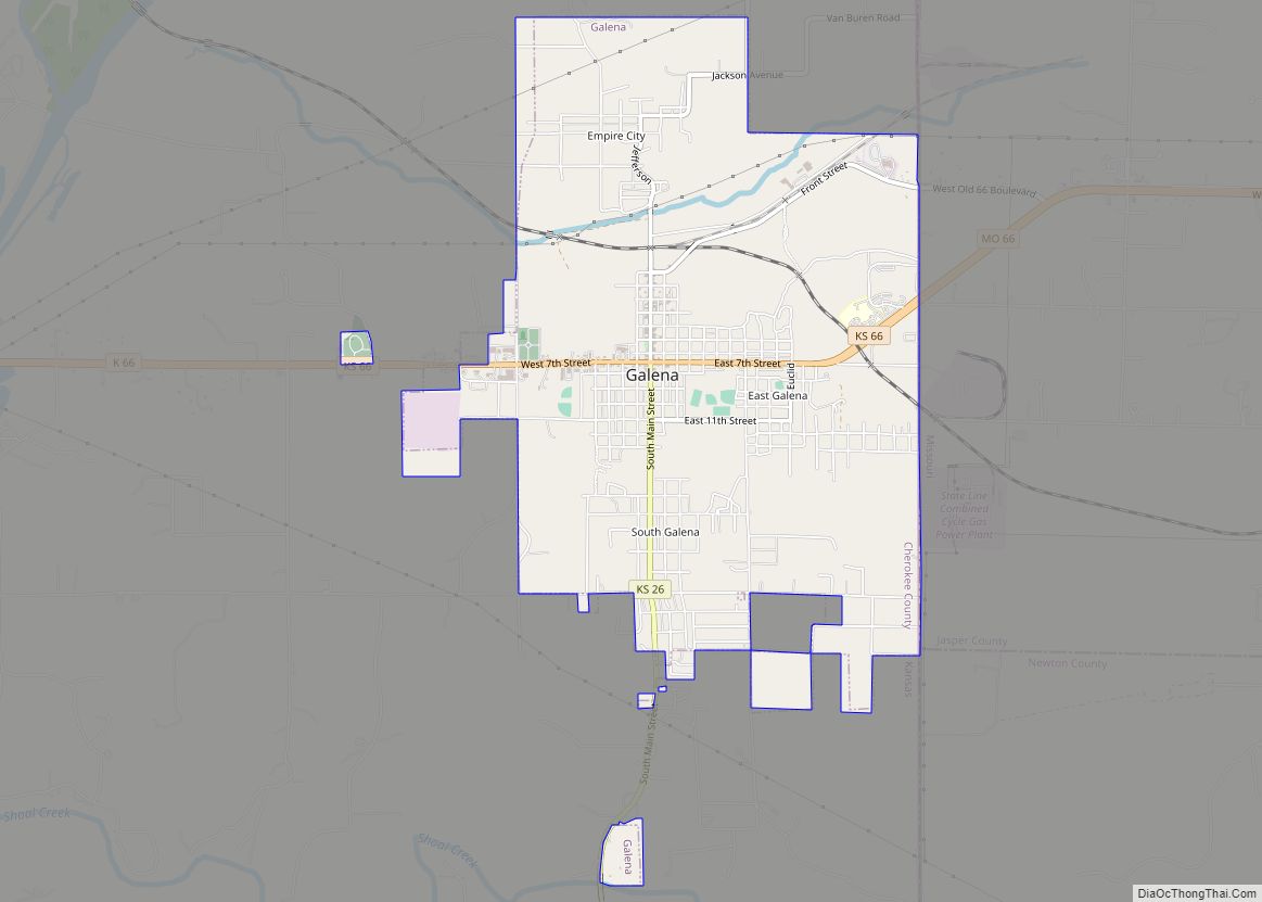
Galena is a city in Cherokee County, Kansas, United States. As of the 2020 census, the population of the city was 2,761. Galena city overview: Name: Galena city LSAD Code: 25 LSAD Description: city (suffix) State: Kansas County: Cherokee County Founded: 1877 Incorporated: 1877 Elevation: 902 ft (275 m) Total Area: 4.66 sq mi (12.06 km²) Land Area: 4.60 sq mi (11.92 km²) ... Read more
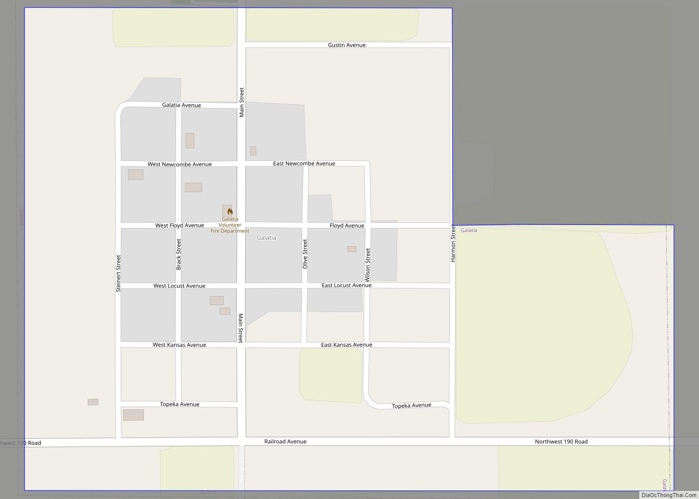
Galatia is a city in Barton County, Kansas, United States. As of the 2020 census, the population of the city was 45. Galatia city overview: Name: Galatia city LSAD Code: 25 LSAD Description: city (suffix) State: Kansas County: Barton County Founded: 1885 Incorporated: 1921 Elevation: 1,998 ft (609 m) Total Area: 0.35 sq mi (0.92 km²) Land Area: 0.35 sq mi (0.92 km²) ... Read more
Garden City is a city in, and the county seat of, Finney County, Kansas, United States. As of the 2020 census, the population of the city was 28,151. The city is home to Garden City Community College and the Lee Richardson Zoo, the largest zoological park in western Kansas. Garden City city overview: Name: Garden ... Read more
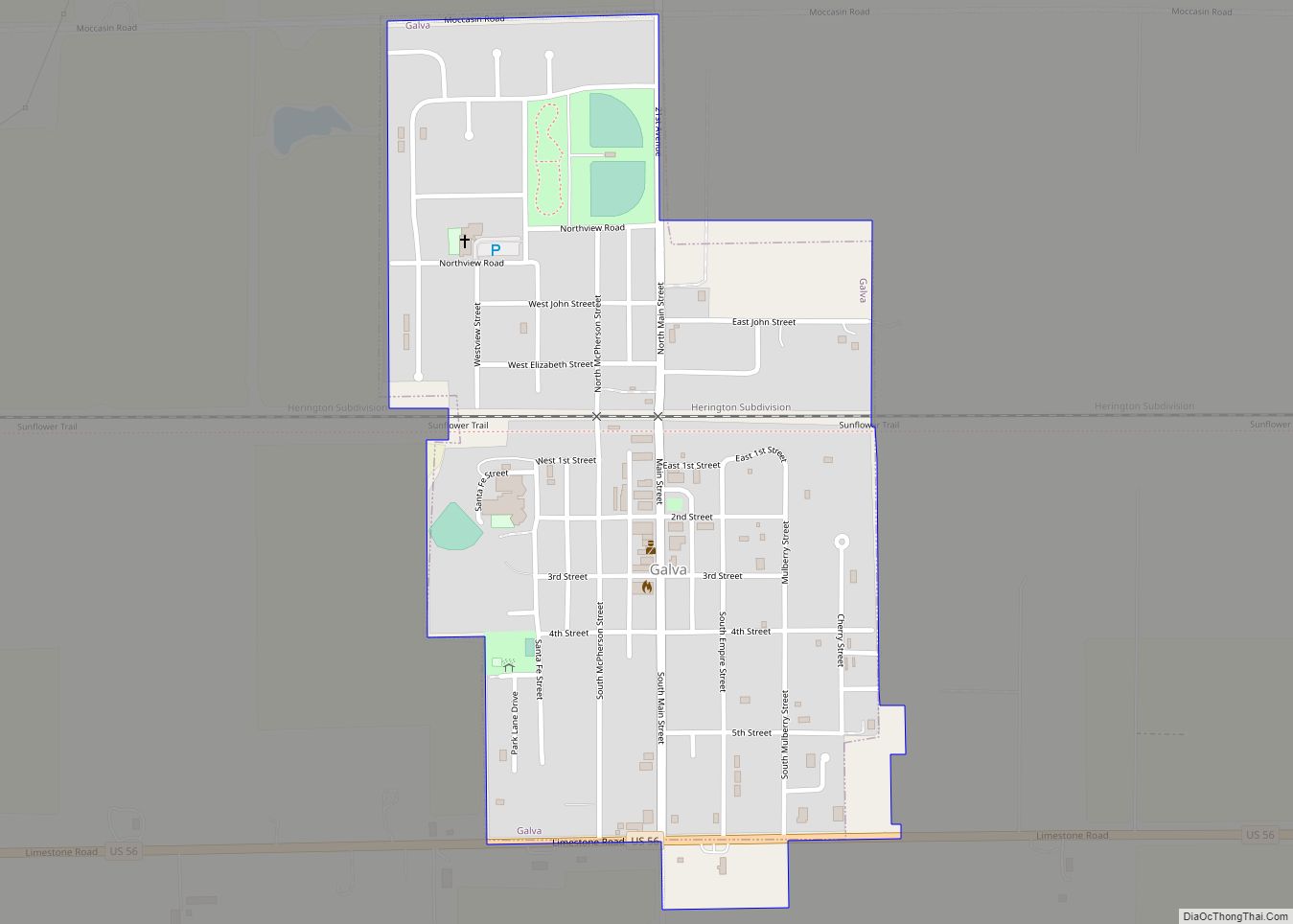
Galva is a city in McPherson County, Kansas, United States. As of the 2020 census, the population of the city was 834. Galva city overview: Name: Galva city LSAD Code: 25 LSAD Description: city (suffix) State: Kansas County: McPherson County Founded: 1879 Incorporated: 1887 Elevation: 1,545 ft (471 m) Total Area: 0.50 sq mi (1.29 km²) Land Area: 0.50 sq mi (1.29 km²) ... Read more
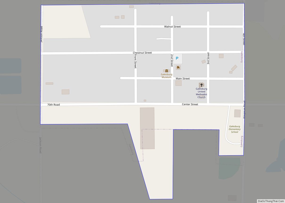
Galesburg is a city in Neosho County, Kansas, United States. As of the 2020 census, the population of the city was 149. Galesburg city overview: Name: Galesburg city LSAD Code: 25 LSAD Description: city (suffix) State: Kansas County: Neosho County Founded: 1871 Incorporated: 1907 Elevation: 981 ft (299 m) Total Area: 0.17 sq mi (0.45 km²) Land Area: 0.17 sq mi (0.45 km²) ... Read more
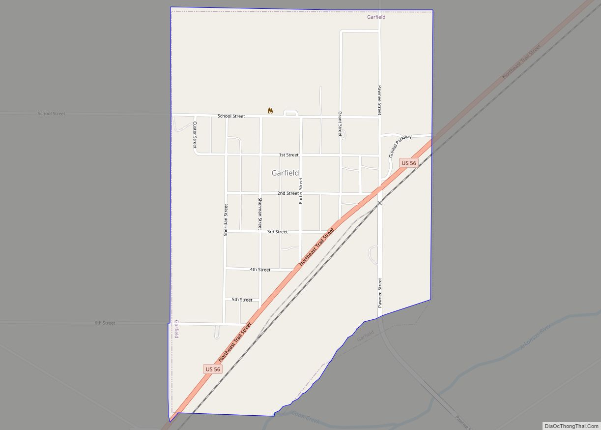
Garfield is a city in Pawnee County, Kansas, United States. As of the 2020 census, the population of the city was 151. Garfield city overview: Name: Garfield city LSAD Code: 25 LSAD Description: city (suffix) State: Kansas County: Pawnee County Founded: 1870s Incorporated: 1910 Elevation: 2,074 ft (632 m) Total Area: 0.54 sq mi (1.39 km²) Land Area: 0.54 sq mi (1.39 km²) ... Read more
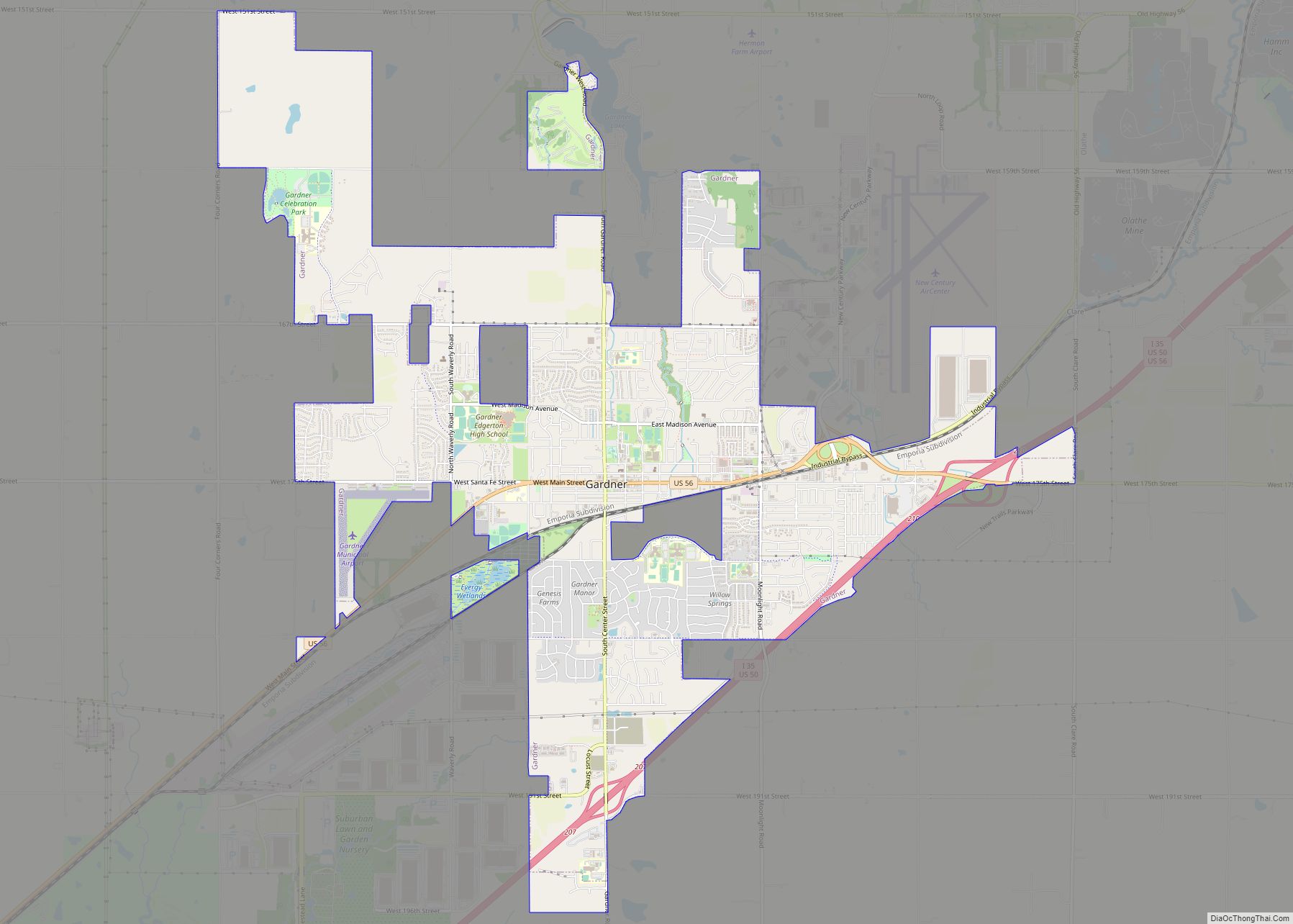
Gardner is a city in Johnson County, Kansas, United States. As of the 2020 census, the population of the city was 23,287. It is located inside of the Kansas City metropolitan area. Gardner city overview: Name: Gardner city LSAD Code: 25 LSAD Description: city (suffix) State: Kansas County: Johnson County Founded: 1857 Incorporated: 1887 Elevation: ... Read more
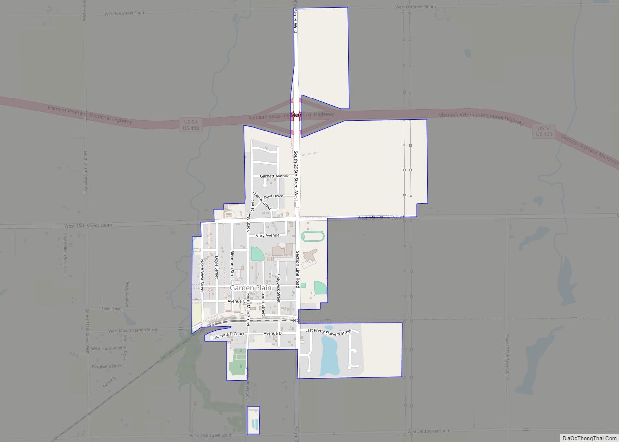
Garden Plain is a city in Sedgwick County, Kansas, United States. As of the 2020 census, the population of the city was 948. Garden Plain city overview: Name: Garden Plain city LSAD Code: 25 LSAD Description: city (suffix) State: Kansas County: Sedgwick County Founded: 1884 Incorporated: 1902 Elevation: 1,450 ft (440 m) Total Area: 1.02 sq mi (2.63 km²) Land ... Read more
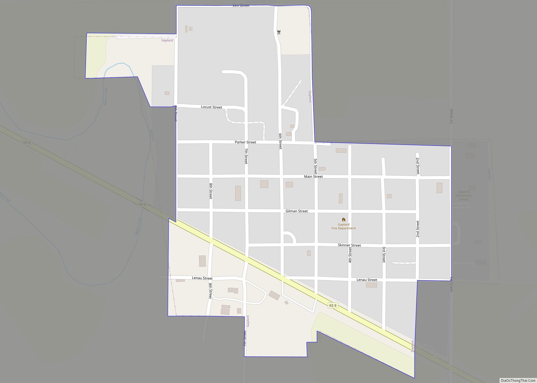
Gaylord is a city in Smith County, Kansas, United States. As of the 2020 census, the population of the city was 87. Gaylord city overview: Name: Gaylord city LSAD Code: 25 LSAD Description: city (suffix) State: Kansas County: Smith County Founded: 1870 Incorporated: 1886 Elevation: 1,595 ft (486 m) Total Area: 0.26 sq mi (0.66 km²) Land Area: 0.26 sq mi (0.66 km²) ... Read more
