Gardner is a city in Johnson County, Kansas, United States. As of the 2020 census, the population of the city was 23,287. It is located inside of the Kansas City metropolitan area.
| Name: | Gardner city |
|---|---|
| LSAD Code: | 25 |
| LSAD Description: | city (suffix) |
| State: | Kansas |
| County: | Johnson County |
| Founded: | 1857 |
| Incorporated: | 1887 |
| Elevation: | 1,060 ft (320 m) |
| Total Area: | 10.31 sq mi (26.72 km²) |
| Land Area: | 10.28 sq mi (26.61 km²) |
| Water Area: | 0.04 sq mi (0.10 km²) |
| Total Population: | 23,287 |
| Population Density: | 2,300/sq mi (870/km²) |
| ZIP code: | 66030-66031 |
| Area code: | 913 |
| FIPS code: | 2025425 |
| Website: | gardnerkansas.gov |
Online Interactive Map
Click on ![]() to view map in "full screen" mode.
to view map in "full screen" mode.
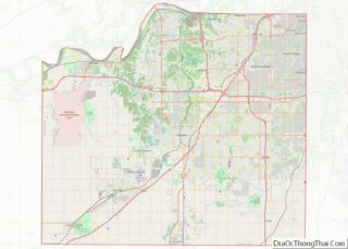
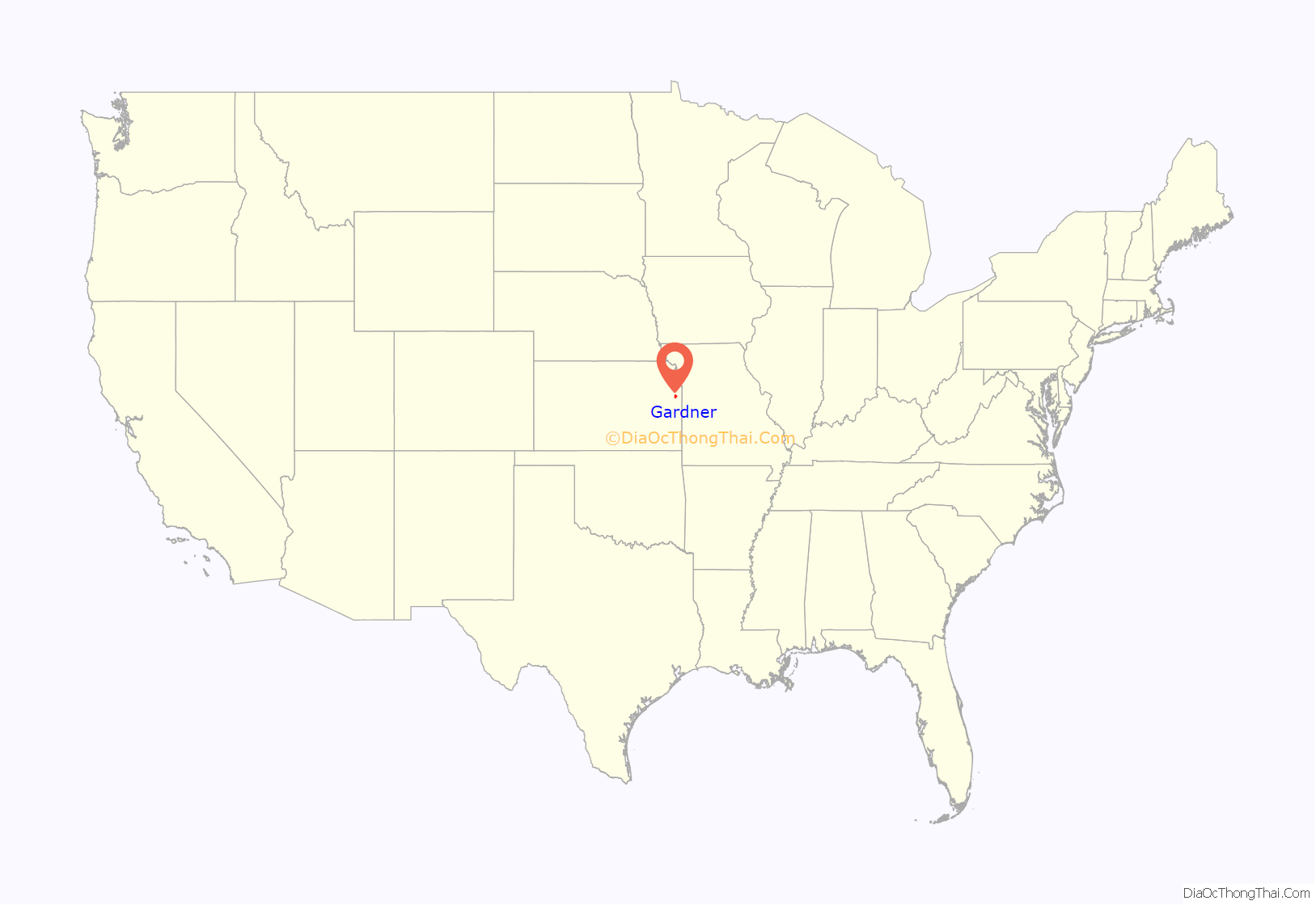
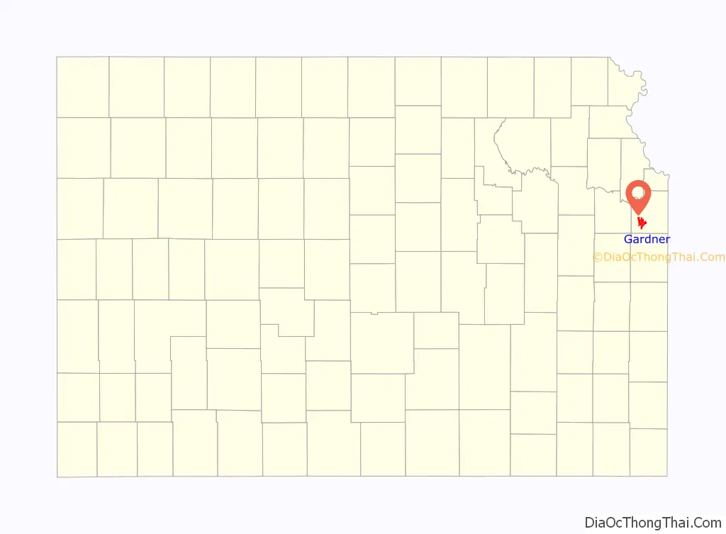
Gardner location map. Where is Gardner city?
History
Gardner was founded where the Santa Fe Trail and the Oregon/California Trails divided. The Santa Fe Trail sent travelers southwest through Santa Fe and Albuquerque toward Los Angeles and San Diego. The Oregon/California Trails bore west for a few miles before turning north toward the Kansas River valley, followed the Big Blue River into present-day Nebraska, followed the Platte River west, and ultimately split in present-day Wyoming, Idaho or Utah.
Gardner was founded as a Free-Stater settlement in 1857. Settled primarily by emigrants from Massachusetts, it was named for Henry Gardner, then governor of Massachusetts. Four years after its establishment, it became the first community in Johnson County—and perhaps the first in the state—to experience an attack by Confederate forces.
The first post office in Gardner was established in 1858.
Gardner Road Map
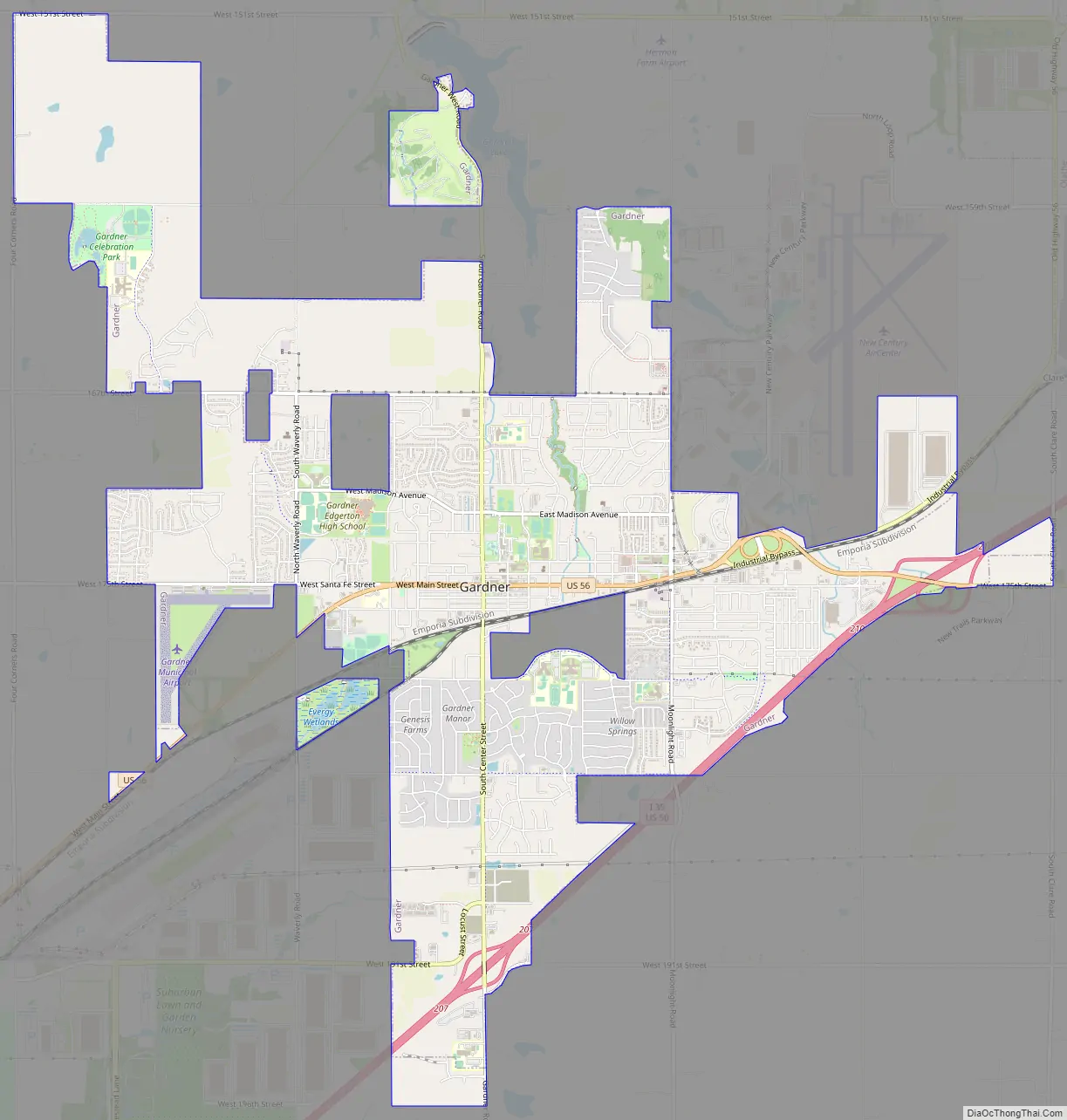
Gardner city Satellite Map

Geography
Gardner is located at 38°48′45″N 94°55′7″W / 38.81250°N 94.91861°W / 38.81250; -94.91861 (38.812367, -94.918621). According to the United States Census Bureau, the city has a total area of 10.21 square miles (26.44 km), of which 10.16 square miles (26.31 km) is land and 0.05 square miles (0.13 km) is water. The most notable body of water in Gardner is Gardner Lake on the north side of town off of S Gardner Road and 151st Street. Gardner is also the genesis point of Kill Creek which runs north joining with the Kansas River in De Soto.
Climate
The climate in this area is characterized by hot, humid summers and generally mild to cool winters. According to the Köppen Climate Classification system, Gardner has a humid subtropical climate, abbreviated “Cfa” on climate maps.
See also
Map of Kansas State and its subdivision:- Allen
- Anderson
- Atchison
- Barber
- Barton
- Bourbon
- Brown
- Butler
- Chase
- Chautauqua
- Cherokee
- Cheyenne
- Clark
- Clay
- Cloud
- Coffey
- Comanche
- Cowley
- Crawford
- Decatur
- Dickinson
- Doniphan
- Douglas
- Edwards
- Elk
- Ellis
- Ellsworth
- Finney
- Ford
- Franklin
- Geary
- Gove
- Graham
- Grant
- Gray
- Greeley
- Greenwood
- Hamilton
- Harper
- Harvey
- Haskell
- Hodgeman
- Jackson
- Jefferson
- Jewell
- Johnson
- Kearny
- Kingman
- Kiowa
- Labette
- Lane
- Leavenworth
- Lincoln
- Linn
- Logan
- Lyon
- Marion
- Marshall
- McPherson
- Meade
- Miami
- Mitchell
- Montgomery
- Morris
- Morton
- Nemaha
- Neosho
- Ness
- Norton
- Osage
- Osborne
- Ottawa
- Pawnee
- Phillips
- Pottawatomie
- Pratt
- Rawlins
- Reno
- Republic
- Rice
- Riley
- Rooks
- Rush
- Russell
- Saline
- Scott
- Sedgwick
- Seward
- Shawnee
- Sheridan
- Sherman
- Smith
- Stafford
- Stanton
- Stevens
- Sumner
- Thomas
- Trego
- Wabaunsee
- Wallace
- Washington
- Wichita
- Wilson
- Woodson
- Wyandotte
- Alabama
- Alaska
- Arizona
- Arkansas
- California
- Colorado
- Connecticut
- Delaware
- District of Columbia
- Florida
- Georgia
- Hawaii
- Idaho
- Illinois
- Indiana
- Iowa
- Kansas
- Kentucky
- Louisiana
- Maine
- Maryland
- Massachusetts
- Michigan
- Minnesota
- Mississippi
- Missouri
- Montana
- Nebraska
- Nevada
- New Hampshire
- New Jersey
- New Mexico
- New York
- North Carolina
- North Dakota
- Ohio
- Oklahoma
- Oregon
- Pennsylvania
- Rhode Island
- South Carolina
- South Dakota
- Tennessee
- Texas
- Utah
- Vermont
- Virginia
- Washington
- West Virginia
- Wisconsin
- Wyoming