Map of Blaine CDP, Maine
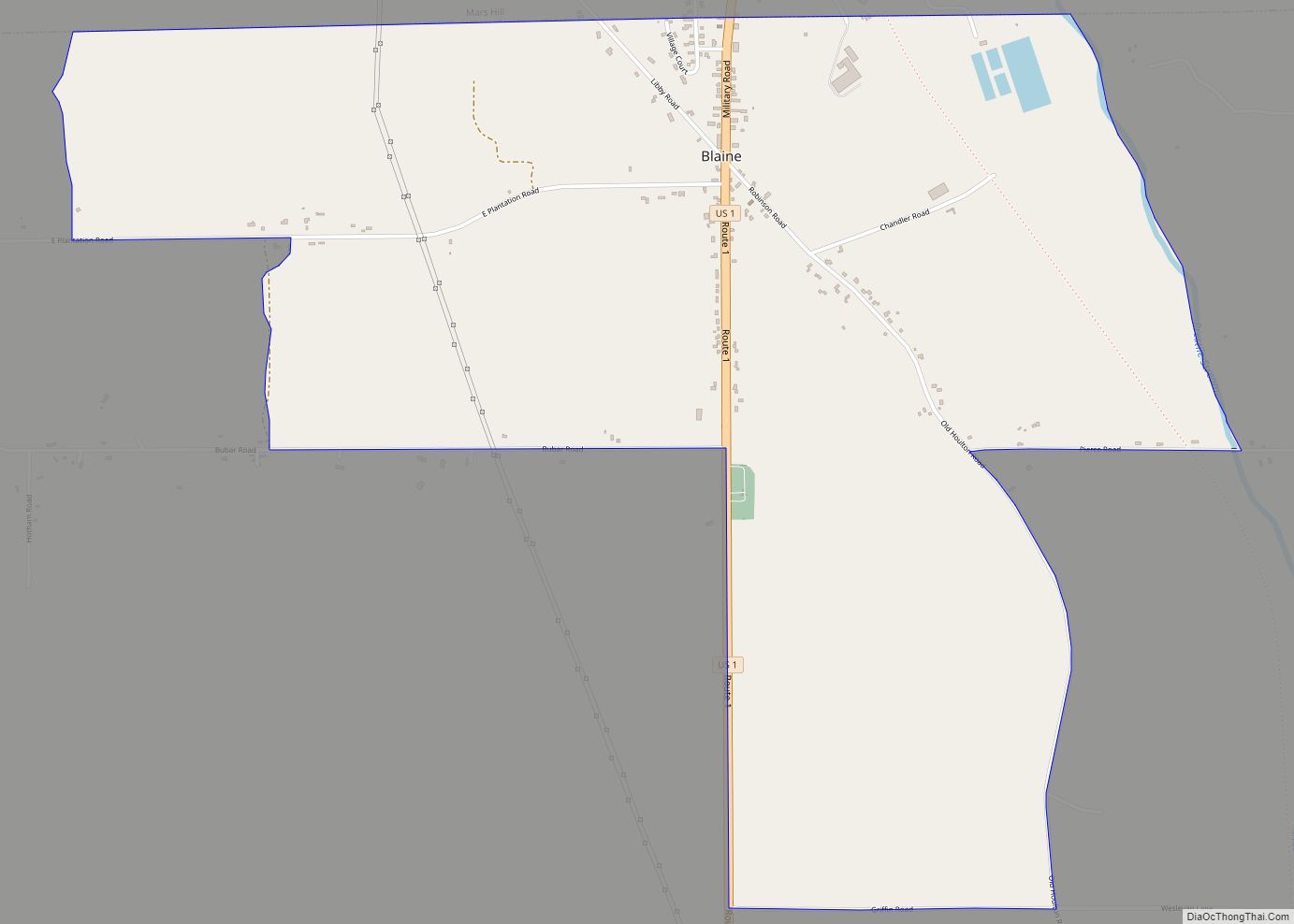
Blaine is a census-designated place (CDP) comprising the main village within the town of Blaine in Aroostook County, Maine, United States. The population of the CDP was 301 at the 2010 census, out of a population of 726 for the entire town. Prior to 2010, the village was part of the Mars Hill-Blaine CDP. Blaine ... Read more
Map of Blaine CDP, Maine
Map of Brewer city, Maine
Brewer is a city in Penobscot County, Maine, United States. It is part of the Bangor, Maine Metropolitan Statistical Area. The city is named after its first settler, Colonel John Brewer. The population was 9,672 at the 2020 census. Brewer is the sister city of Bangor. The two are at the head of navigation on ... Read more
Map of Brewer city, Maine
Map of Bowdoinham CDP
Bowdoinham is a town in Sagadahoc County, Maine, United States. The population was 3,047 at the 2020 census. It is part of the Portland–South Portland–Biddeford, Maine metropolitan statistical area. The town is located on the west side of Merrymeeting Bay. Bowdoinham CDP overview: Name: Bowdoinham CDP LSAD Code: 57 LSAD Description: CDP (suffix) State: Maine ... Read more
Map of Bowdoinham CDP
Map of Boothbay Harbor CDP
Boothbay Harbor is a census-designated place (CDP) comprising the densely populated center of the town of Boothbay Harbor in Lincoln County, Maine, United States. The population was 1,086 at the 2010 census, down from 1,237 at the 2000 census. Boothbay Harbor CDP overview: Name: Boothbay Harbor CDP LSAD Code: 57 LSAD Description: CDP (suffix) State: ... Read more
Map of Boothbay Harbor CDP
Map of Brunswick CDP, Maine
Brunswick is a census-designated place (CDP) in the town of Brunswick in Cumberland County, Maine, United States. The population was 15,175 at the 2010 census. It is part of the Portland–South Portland–Biddeford, Maine Metropolitan Statistical Area. Brunswick CDP overview: Name: Brunswick CDP LSAD Code: 57 LSAD Description: CDP (suffix) State: Maine County: Cumberland County Elevation: ... Read more
Map of Brunswick CDP, Maine
Map of Brunswick Station CDP
Brunswick Station was a census-designated place (CDP) within the town of Brunswick in Cumberland County, Maine, United States. The population was 578 at the 2010 census. It consists of an area that was part of the former Naval Air Station Brunswick and was part of the Portland–South Portland–Biddeford, Maine Metropolitan Statistical Area. The 2020 census ... Read more
Map of Brunswick Station CDP
Map of Bridgton CDP
Bridgton is a census-designated place (CDP) in the town of Bridgton in Cumberland County, Maine, United States. The population was 2,071 at the 2010 census. It is part of the Portland–South Portland–Biddeford, Maine Metropolitan Statistical Area. Bridgton CDP overview: Name: Bridgton CDP LSAD Code: 57 LSAD Description: CDP (suffix) State: Maine County: Cumberland County Elevation: ... Read more
Map of Bridgton CDP
Map of Camden CDP, Maine
Camden is a census-designated place (CDP) comprising the main village in the town of Camden in Knox County, Maine, United States. The population was 3,570 at the 2010 census, out of 4,850 in the entire town of Camden. Camden CDP overview: Name: Camden CDP LSAD Code: 57 LSAD Description: CDP (suffix) State: Maine County: Knox ... Read more
Map of Camden CDP, Maine
Map of Calais city
Calais /ˈkælɪs/ is a city in Washington County, Maine, United States. As of the 2020 census, it had a population of 3,079, making Calais the third least-populous city in Maine (after Hallowell and Eastport). The city has three Canada–US border crossings (also known as ports of entry) over the St. Croix River connecting to St. ... Read more
Map of Calais city
Map of Bucksport CDP, Maine
Bucksport is a census-designated place (CDP) in the town of Bucksport in Hancock County, Maine, United States. The population was 2,885 at the 2010 census, down from 2,970 at the 2000 census. Bucksport CDP overview: Name: Bucksport CDP LSAD Code: 57 LSAD Description: CDP (suffix) State: Maine County: Hancock County Elevation: 56 ft (17 m) Total Area: ... Read more
Map of Bucksport CDP, Maine
Map of Casco CDP, Maine
Casco is a census-designated place (CDP) in the town of Casco in Cumberland County, Maine, United States. The population of the CDP was 587 at the 2010 census. It is part of the Portland–South Portland–Biddeford, Maine Metropolitan Statistical Area. Casco CDP overview: Name: Casco CDP LSAD Code: 57 LSAD Description: CDP (suffix) State: Maine County: ... Read more
Map of Casco CDP, Maine
Map of Caribou city, Maine
Caribou is the second largest city in Aroostook County, Maine, United States. Its population was 7,396 at the 2020 census, and between the 2010 and 2020 census it was the fastest-shrinking city in Maine. The city is a service center for the agricultural and tourism industries, and the location of a National Weather Service Forecast ... Read more
Map of Caribou city, Maine