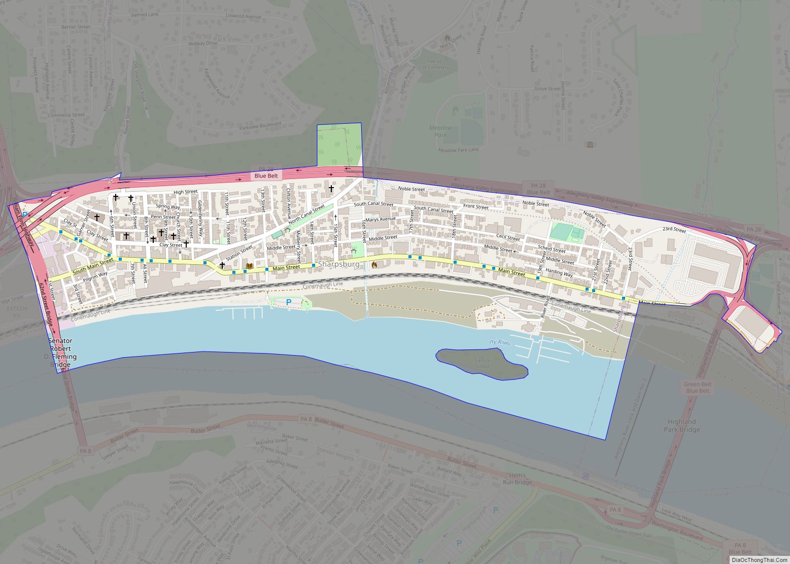
Sharpsburg is a borough in Allegheny County, Pennsylvania, United States, 5 miles (8 km) northeast of downtown Pittsburgh, along the Allegheny River. In 1900, nearly 7,000 people lived here; in 1920, the population peaked at just over 8,900 people. The population was 3,187 at the 2020 census. In the past, it had a rolling mill, foundries, ... Read more
Pennsylvania Cities and Places
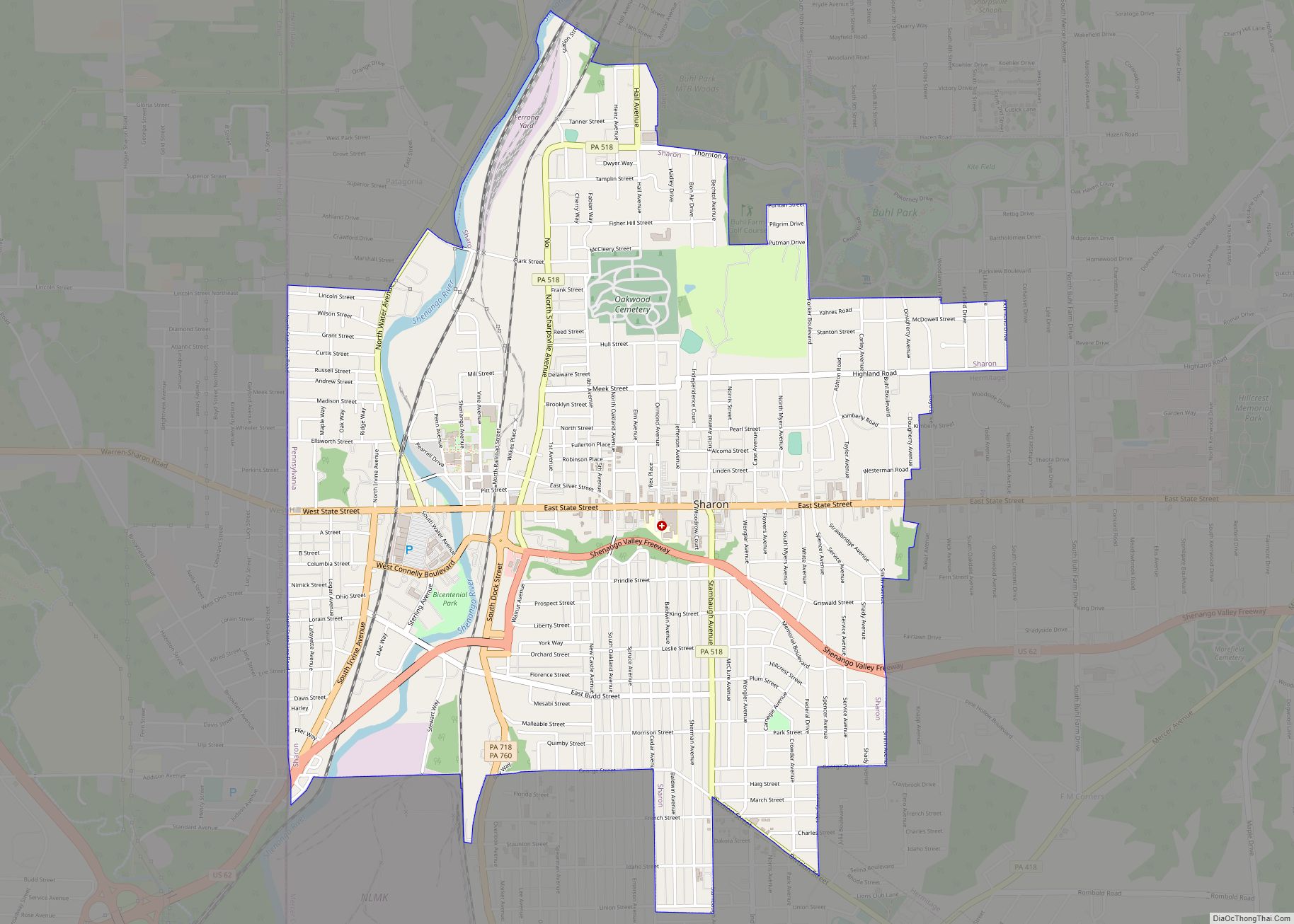
Sharon is a city in western Mercer County, Pennsylvania, United States. The city, located along the banks of the Shenango River on the state border with Ohio, is about 15 miles (24 km) northeast of Youngstown, about 65 miles (105 km) southeast of Cleveland and about 60 miles (97 km) northwest of Pittsburgh. The population was 13,147 at ... Read more
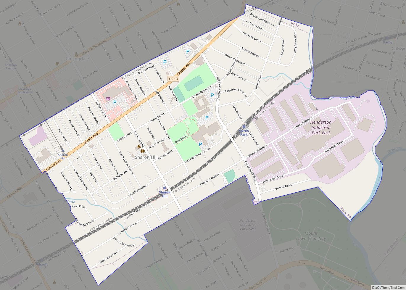
Sharon Hill is a borough in Delaware County, Pennsylvania, United States. The population was 5,697 at the 2010 census. Currently the population stands at 6,356 residents. Sharon Hill borough overview: Name: Sharon Hill borough LSAD Code: 21 LSAD Description: borough (suffix) State: Pennsylvania County: Delaware County Elevation: 85 ft (26 m) Total Area: 0.77 sq mi (2.00 km²) Land Area: ... Read more
Shanor-Northvue is a census-designated place (CDP) in Butler County, Pennsylvania, United States. The population was 5,051 at the 2010 census. Shanor-Northvue CDP overview: Name: Shanor-Northvue CDP LSAD Code: 57 LSAD Description: CDP (suffix) State: Pennsylvania County: Butler County Elevation: 1,340 ft (410 m) Total Area: 6.78 sq mi (17.55 km²) Land Area: 6.75 sq mi (17.49 km²) Water Area: 0.02 sq mi (0.06 km²) Total Population: ... Read more
Shanksville is a borough in Somerset County, Pennsylvania, United States. It has a population of 197 as of the 2020 U.S. census. It is part of the Somerset, Pennsylvania Micropolitan Statistical Area and is located 78 miles (126 km) southeast of Pittsburgh and 226 miles (364 km) west of Philadelphia. Shanksville garnered global attention during the September ... Read more
Shamokin (/ʃəˈmoʊkɪn/; Saponi Algonquian Schahamokink, meaning “place of eels”) (Lenape Indian language: Shahëmokink) is a city in Northumberland County, Pennsylvania, United States. Surrounded by Coal Township at the western edge of the Anthracite Coal Region in central Pennsylvania’s Susquehanna River Valley, the city was named after a Saponi Indian village, Schahamokink. At the 2020 United ... Read more
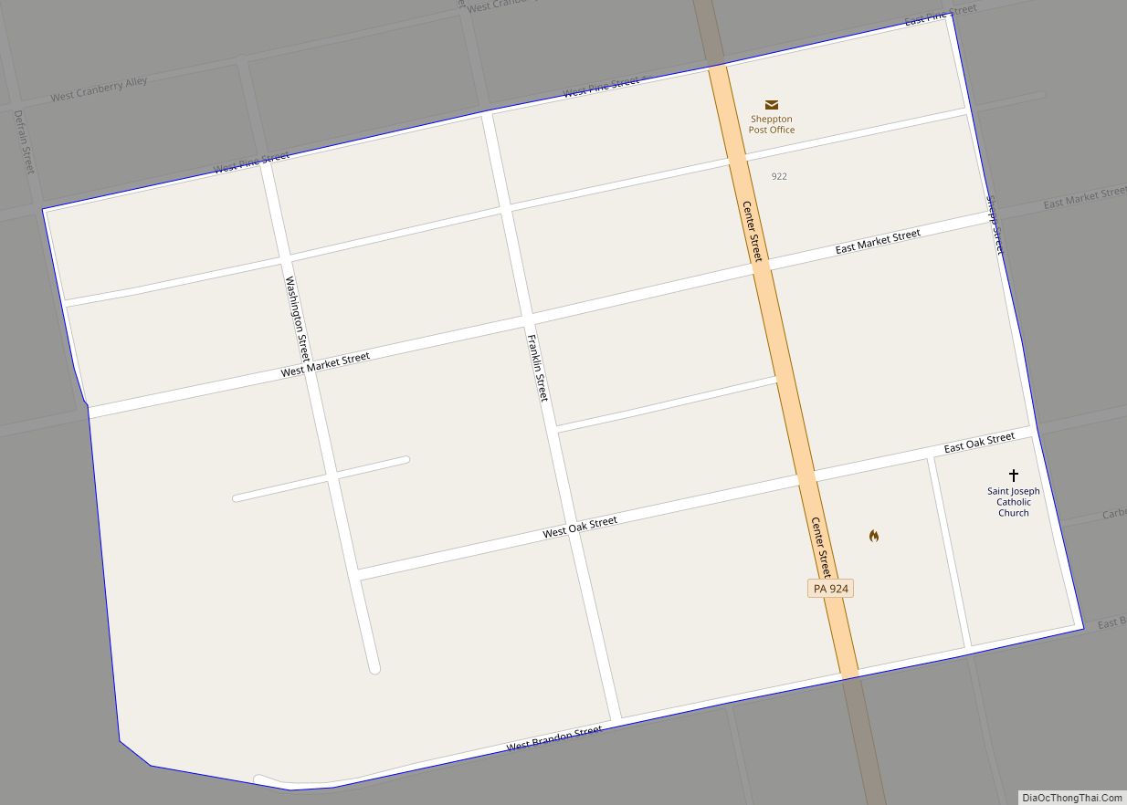
Sheppton is a census-designated place (CDP) in Schuylkill County, Pennsylvania, United States. The population was 239 at the 2000 census. Sheppton CDP overview: Name: Sheppton CDP LSAD Code: 57 LSAD Description: CDP (suffix) State: Pennsylvania County: Schuylkill County Total Area: 0.04 sq mi (0.1 km²) Land Area: 0.04 sq mi (0.1 km²) Total Population: 239 Population Density: 6,200/sq mi (2,400/km²) ZIP code: ... Read more
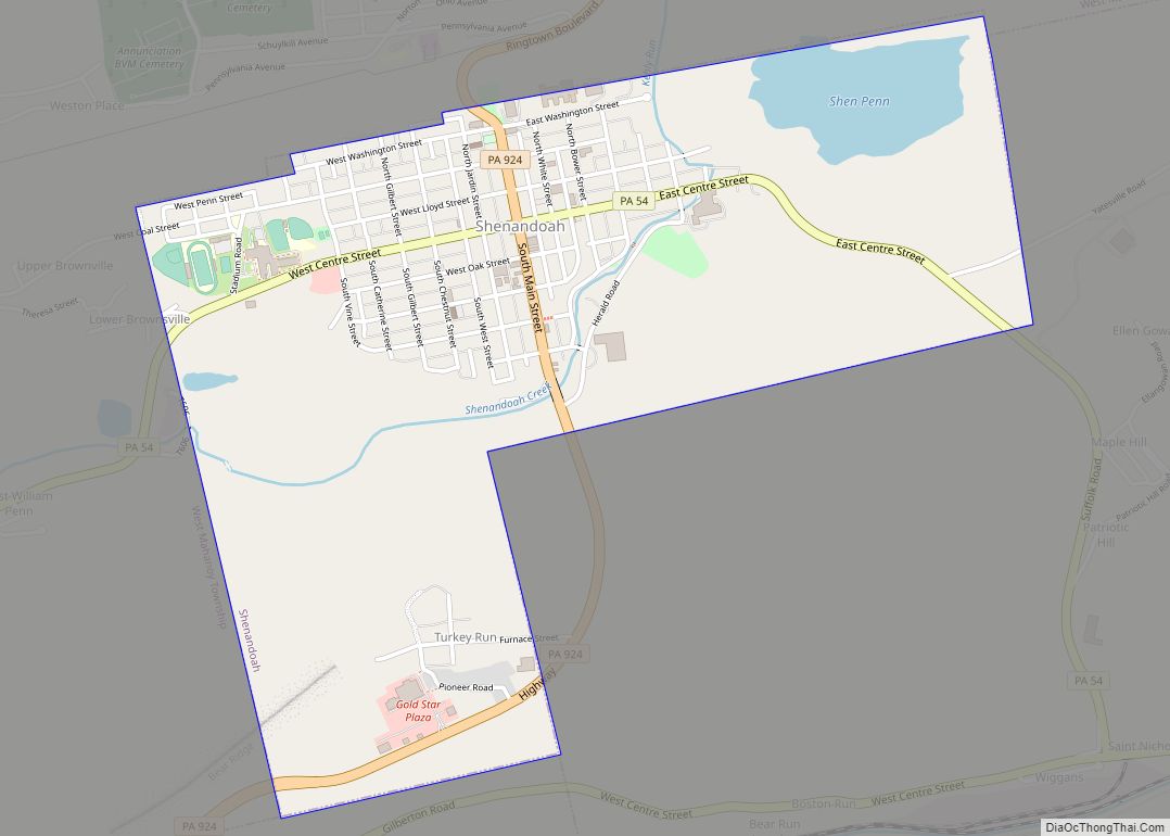
Shenandoah is a borough in Schuylkill County in the Coal Region of Pennsylvania. It is distinct from Shenandoah Heights, which is part of West Mahanoy Township immediately to the north. As of 2021, the borough’s population was 4,247. Shenandoah is located approximately 53.5 miles (86.1 km) northwest of Allentown, 102.3 miles (164.6 km) northwest of Philadelphia, and ... Read more
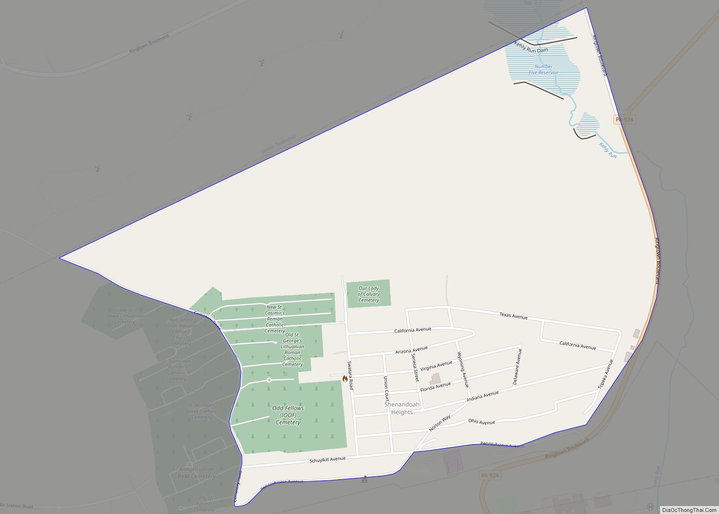
Shenandoah Heights is a census-designated place (CDP) in Schuylkill County, Pennsylvania. The population was 1,298 at the 2000 census. Shenandoah Heights CDP overview: Name: Shenandoah Heights CDP LSAD Code: 57 LSAD Description: CDP (suffix) State: Pennsylvania County: Schuylkill County Total Area: 0.8 sq mi (2.2 km²) Land Area: 0.8 sq mi (2.1 km²) Water Area: 0.04 sq mi (0.1 km²) Total Population: 1,298 Population ... Read more
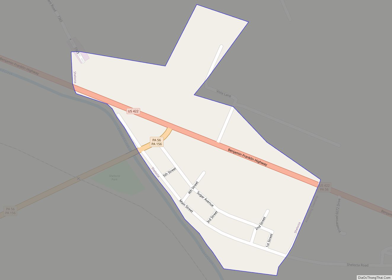
Shelocta is a borough in Indiana County, Pennsylvania, United States. The population was 102 at the 2020 census. The Keystone Generating Station is located to the west of the borough, in Plumcreek Township. Shelocta borough overview: Name: Shelocta borough LSAD Code: 21 LSAD Description: borough (suffix) State: Pennsylvania County: Indiana County Total Area: 0.10 sq mi (0.27 km²) ... Read more
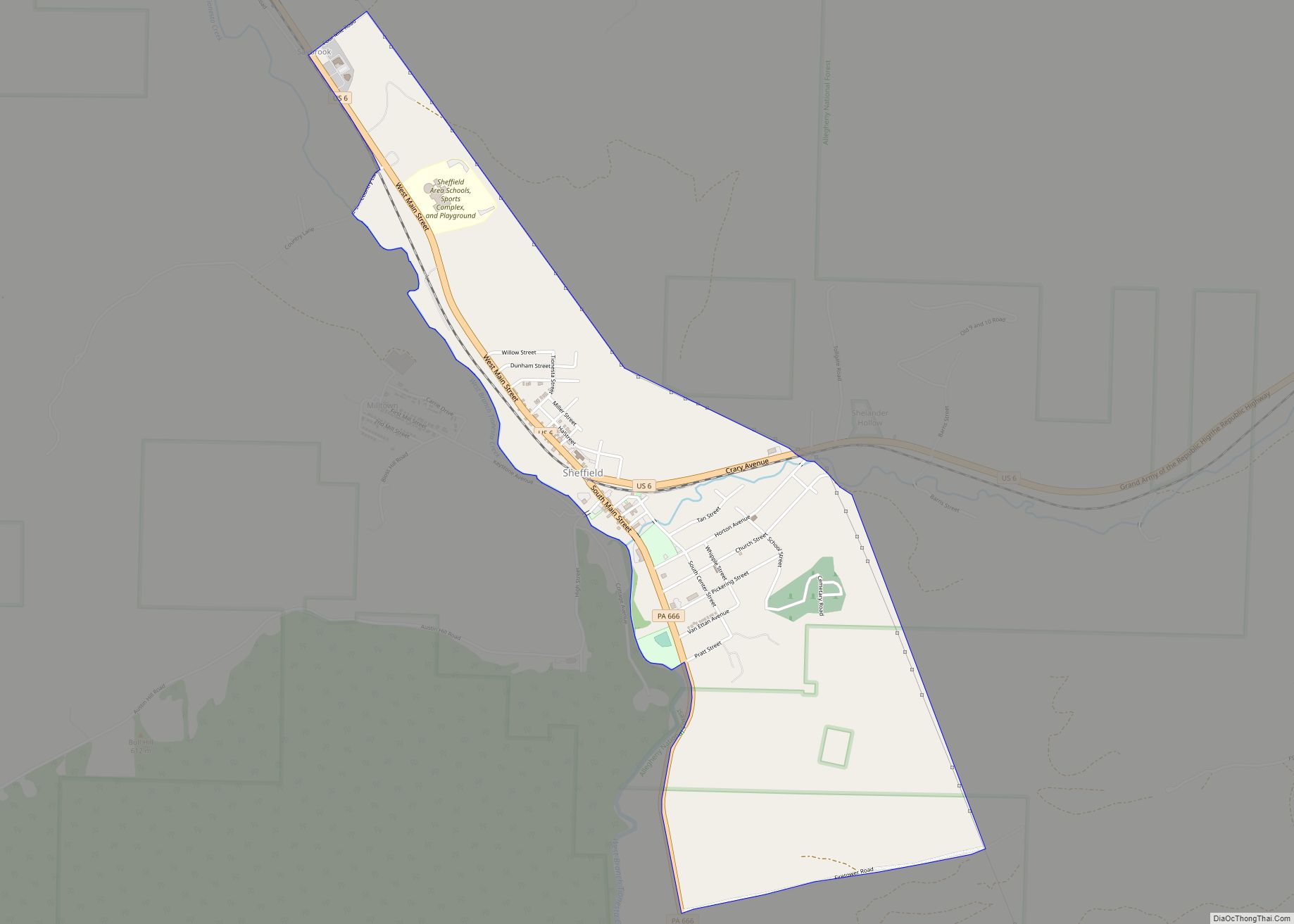
Sheffield is a census-designated place (CDP) within Sheffield Township in southeastern Warren County, Pennsylvania, United States. It is named after Sheffield, England. The population was 1,123 at the 2010 census. Sheffield CDP overview: Name: Sheffield CDP LSAD Code: 57 LSAD Description: CDP (suffix) State: Pennsylvania County: Warren County Total Area: 1.6 sq mi (4 km²) Total Population: 1,123 ... Read more
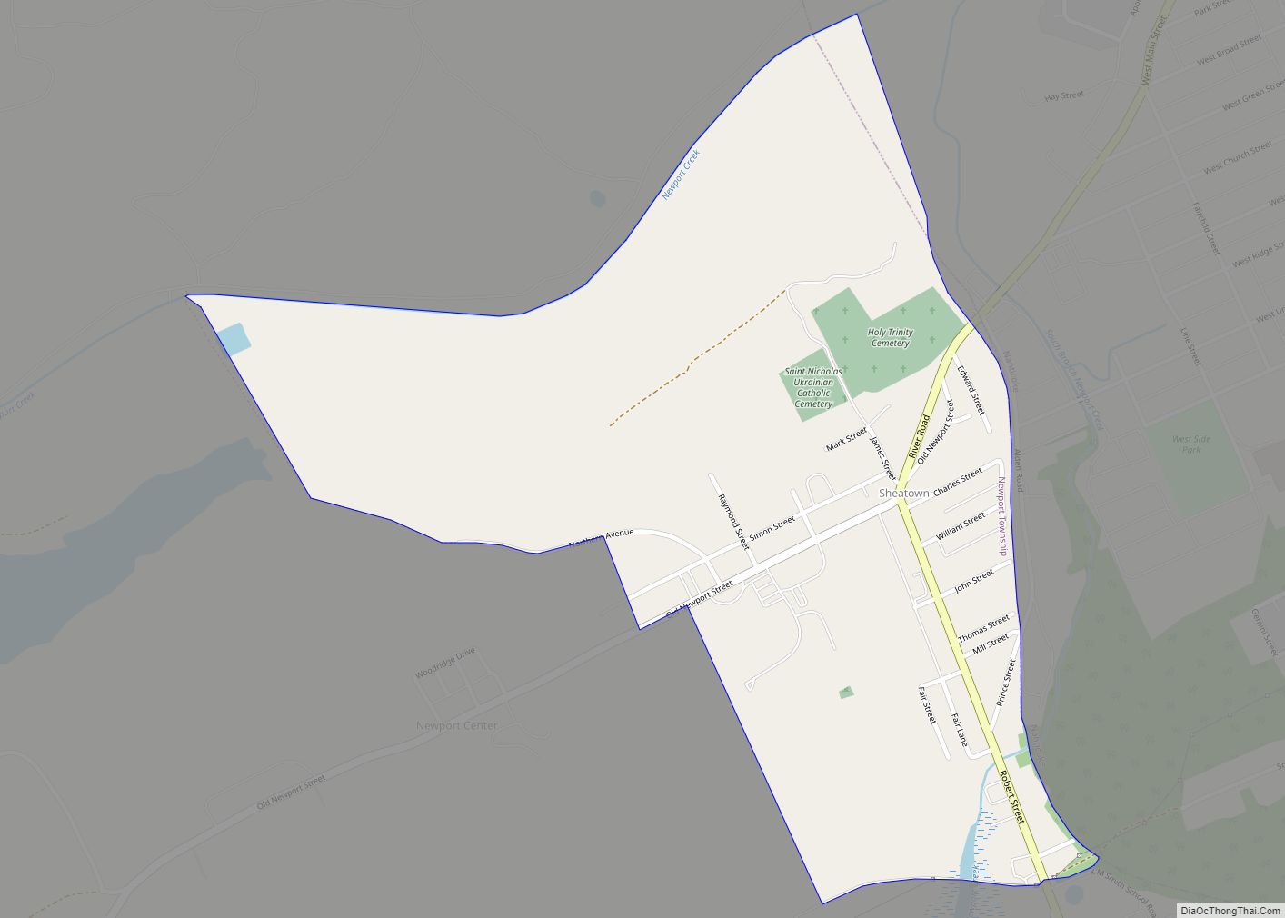
Sheatown is a census-designated place (CDP) in Newport Township, Luzerne County, Pennsylvania, United States. It is adjacent to the west side of the city of Nanticoke. The population of Sheatown was 671 at the 2010 census. Sheatown CDP overview: Name: Sheatown CDP LSAD Code: 57 LSAD Description: CDP (suffix) State: Pennsylvania County: Luzerne County Total ... Read more
