Shanksville is a borough in Somerset County, Pennsylvania, United States. It has a population of 197 as of the 2020 U.S. census. It is part of the Somerset, Pennsylvania Micropolitan Statistical Area and is located 78 miles (126 km) southeast of Pittsburgh and 226 miles (364 km) west of Philadelphia.
Shanksville garnered global attention during the September 11 attacks when United Airlines Flight 93, bound from Newark, New Jersey for San Francisco, crashed in adjacent Stonycreek Township after its passengers rebelled against the flight’s Al-Qaeda terrorist hijackers. It was the only one of the four hijacked planes that failed to reach the terrorists’ intended target.
| Name: | Shanksville borough |
|---|---|
| LSAD Code: | 21 |
| LSAD Description: | borough (suffix) |
| State: | Pennsylvania |
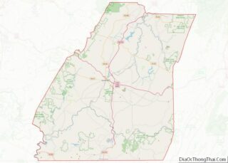
| County: | Somerset County |
| Incorporated: | January 25, 1913 |
| Total Area: | 0.20 sq mi (0.51 km²) |
| Land Area: | 0.20 sq mi (0.51 km²) |
| Water Area: | 0.00 sq mi (0.00 km²) |
| Total Population: | 197 |
| Population Density: | 1,076.14/sq mi (414.98/km²) |
| FIPS code: | 4269680 |
Online Interactive Map
Click on ![]() to view map in "full screen" mode.
to view map in "full screen" mode.
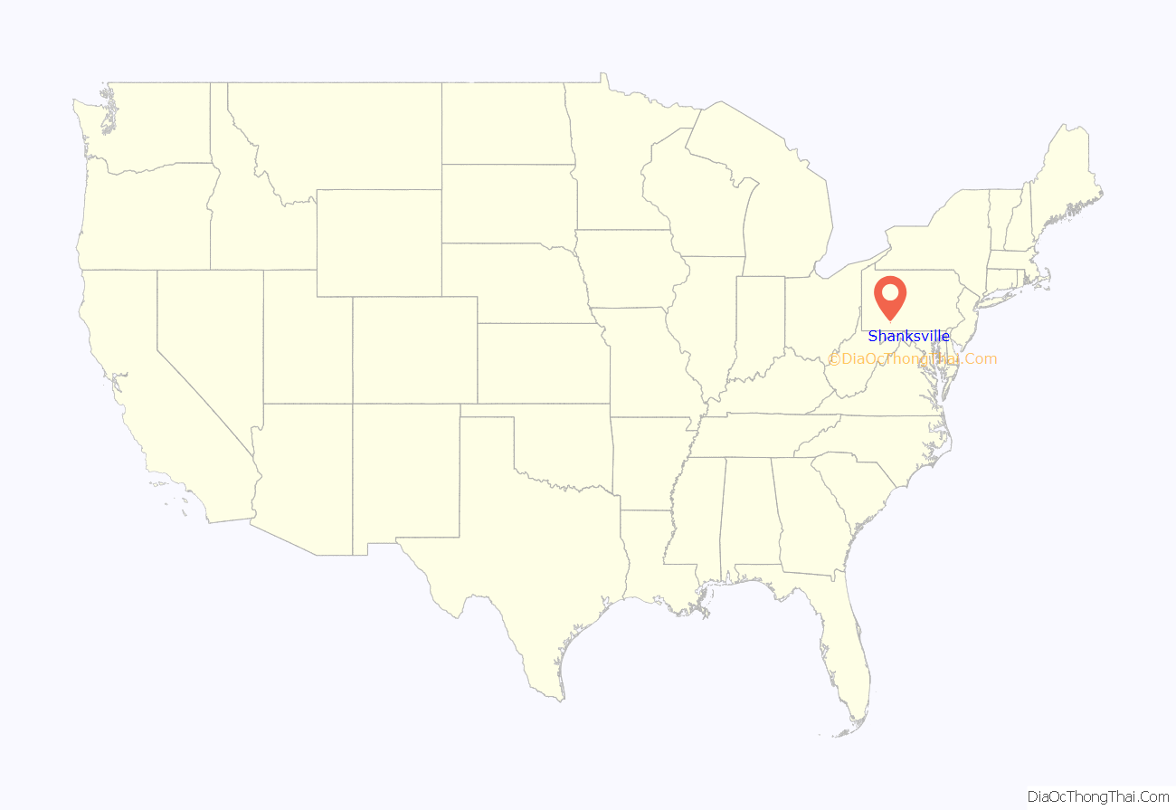
Shanksville location map. Where is Shanksville borough?

History
Christian Shank, a German immigrant, built a cabin on Stony Creek in 1798, later building a grist mill and two saw mills in the vicinity. Emmanuel Shaffer opened a store at the site in 1828, and the following year Shank laid out the town of Shanksville. The town was the home of John Suhre, a Union army private who was fatally wounded at the Battle of Fredericksburg and whose last days are described in Louisa May Alcott’s short novel Hospital Sketches. The Shanksville post office was opened in 1874. Shanksville was incorporated as a borough on January 25, 1913.
September 11 attacks
On September 11, 2001, during the terrorist attacks on the United States, Shanksville received worldwide attention after United Airlines Flight 93 crashed into a field in Stonycreek Township, 1.75 miles (2.82 km) north of the town of Shanksville, killing all 40 civilians and four al-Qaeda hijackers on board. The hijackers had intended to fly the plane to Washington, D.C. and crash it into either the Capitol or the White House. However, after learning from family members via airphone of the earlier attacks on the World Trade Center and The Pentagon, the passengers on board revolted against the hijackers and fought for control of the plane, causing it to crash. It was the only one of the four aircraft hijacked that day that never reached its intended target.
There are two memorials to the event. The original, temporary Flight 93 National Memorial to the passengers and crew of Flight 93 was located on a hill, about 500 yards (460 m) from the crash site. On July 8, 2010, a new temporary entrance and memorial were opened at an area called “the Western Overlook”. It is where the FBI set up their command center and where family members first saw the aftermath of the crash, bringing their own memorials, and where visitors can leave them today. The initial phase of permanent construction of the Flight 93 National Memorial, including the visitors’ center, was completed by the 10th anniversary in 2011. The memorial is built around the crash site, following the plane’s flight path, and protecting the area of impact, known as the “Sacred Ground”, which remains protected and accessible only to family members of the passengers and crew.
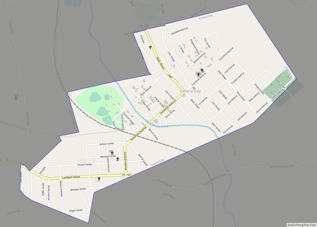
Shanksville’s volunteer firefighters and emergency personnel from the nearby towns of Central City, Somerset, and others rushed to the crash scene to search for survivors. Members of the New York City Fire Department donated to the Shanksville Volunteer Fire Department a cross-shaped piece of steel salvaged from the World Trade Center. Mounted atop a Pentagon-shaped base, it was installed outside the firehouse and dedicated on August 24, 2008.
Shanksville Road Map

Shanksville city Satellite Map

Geography
Shanksville is located at 40°1′2″N 78°54′21″W / 40.01722°N 78.90583°W / 40.01722; -78.90583 (40.017182, -78.905891), with the borough covering 0.2 square mile (0.5 km), all land; it also has the seventh-highest elevation of boroughs in Pennsylvania at 2,230 feet (680 m).
See also
Map of Pennsylvania State and its subdivision:- Adams
- Allegheny
- Armstrong
- Beaver
- Bedford
- Berks
- Blair
- Bradford
- Bucks
- Butler
- Cambria
- Cameron
- Carbon
- Centre
- Chester
- Clarion
- Clearfield
- Clinton
- Columbia
- Crawford
- Cumberland
- Dauphin
- Delaware
- Elk
- Erie
- Fayette
- Forest
- Franklin
- Fulton
- Greene
- Huntingdon
- Indiana
- Jefferson
- Juniata
- Lackawanna
- Lancaster
- Lawrence
- Lebanon
- Lehigh
- Luzerne
- Lycoming
- Mc Kean
- Mercer
- Mifflin
- Monroe
- Montgomery
- Montour
- Northampton
- Northumberland
- Perry
- Philadelphia
- Pike
- Potter
- Schuylkill
- Snyder
- Somerset
- Sullivan
- Susquehanna
- Tioga
- Union
- Venango
- Warren
- Washington
- Wayne
- Westmoreland
- Wyoming
- York
- Alabama
- Alaska
- Arizona
- Arkansas
- California
- Colorado
- Connecticut
- Delaware
- District of Columbia
- Florida
- Georgia
- Hawaii
- Idaho
- Illinois
- Indiana
- Iowa
- Kansas
- Kentucky
- Louisiana
- Maine
- Maryland
- Massachusetts
- Michigan
- Minnesota
- Mississippi
- Missouri
- Montana
- Nebraska
- Nevada
- New Hampshire
- New Jersey
- New Mexico
- New York
- North Carolina
- North Dakota
- Ohio
- Oklahoma
- Oregon
- Pennsylvania
- Rhode Island
- South Carolina
- South Dakota
- Tennessee
- Texas
- Utah
- Vermont
- Virginia
- Washington
- West Virginia
- Wisconsin
- Wyoming