Shamokin (/ʃəˈmoʊkɪn/; Saponi Algonquian Schahamokink, meaning “place of eels”) (Lenape Indian language: Shahëmokink) is a city in Northumberland County, Pennsylvania, United States. Surrounded by Coal Township at the western edge of the Anthracite Coal Region in central Pennsylvania’s Susquehanna River Valley, the city was named after a Saponi Indian village, Schahamokink. At the 2020 United States census, the population was 6,942.
| Name: | Shamokin city |
|---|---|
| LSAD Code: | 25 |
| LSAD Description: | city (suffix) |
| State: | Pennsylvania |
| County: | Northumberland County |
| Total Area: | 0.83 sq mi (2.16 km²) |
| Land Area: | 0.83 sq mi (2.16 km²) |
| Water Area: | 0.00 sq mi (0.00 km²) |
| Total Population: | 6,942 |
| Population Density: | 8,335.73/sq mi (3,218.37/km²) |
| ZIP code: | 17872 |
| Area code: | 570 and 272 |
| FIPS code: | 4269600 |
| Website: | http://www.shamokincity.org/ |
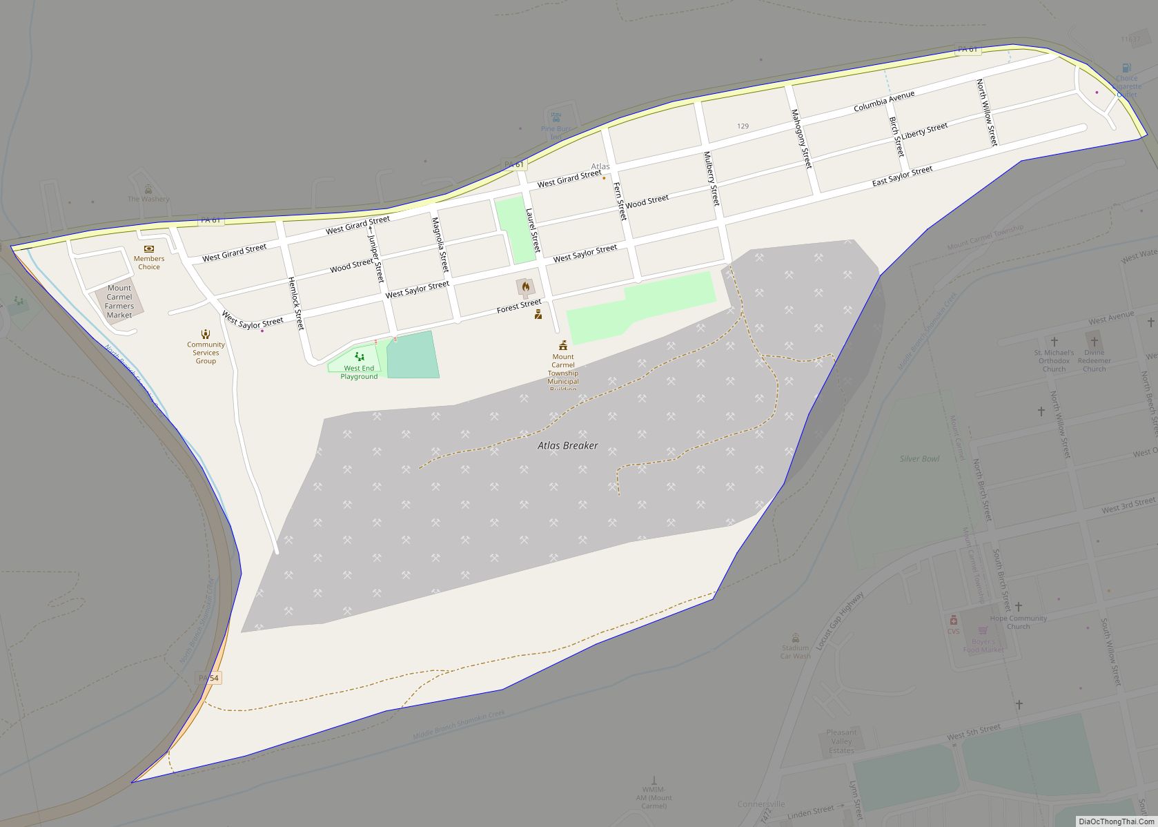
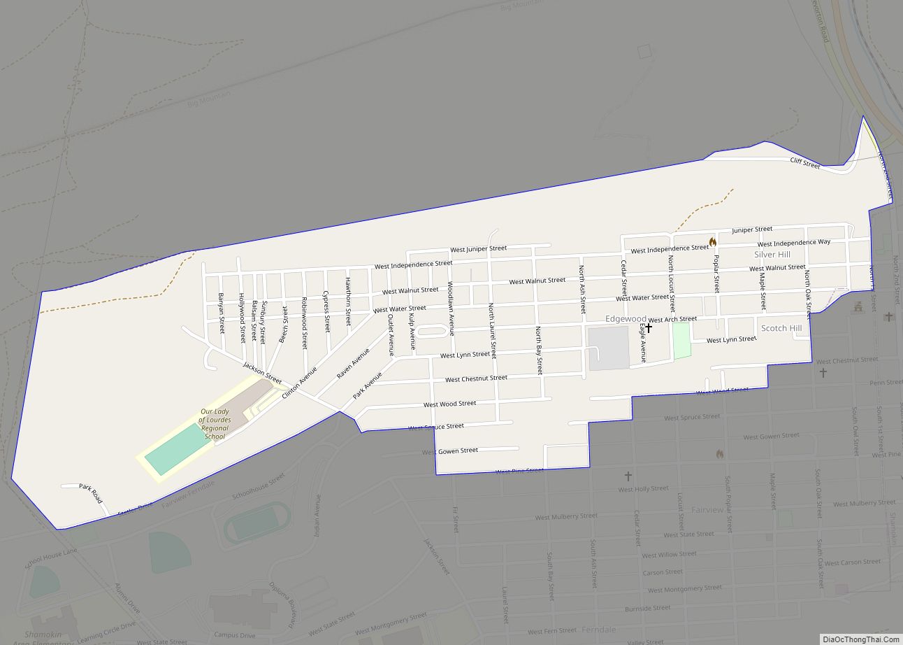
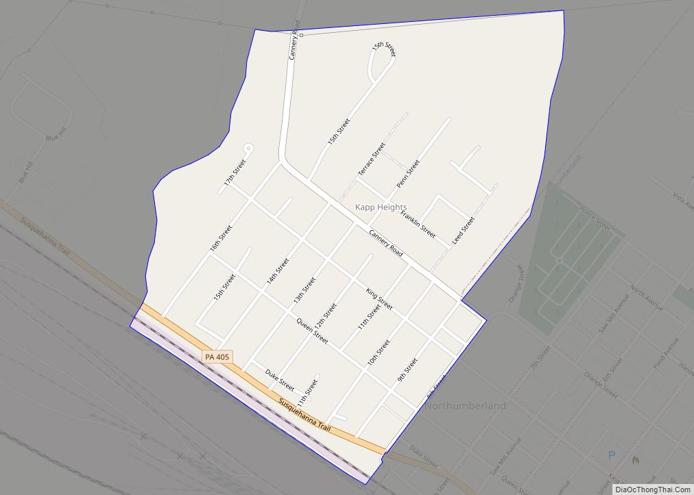
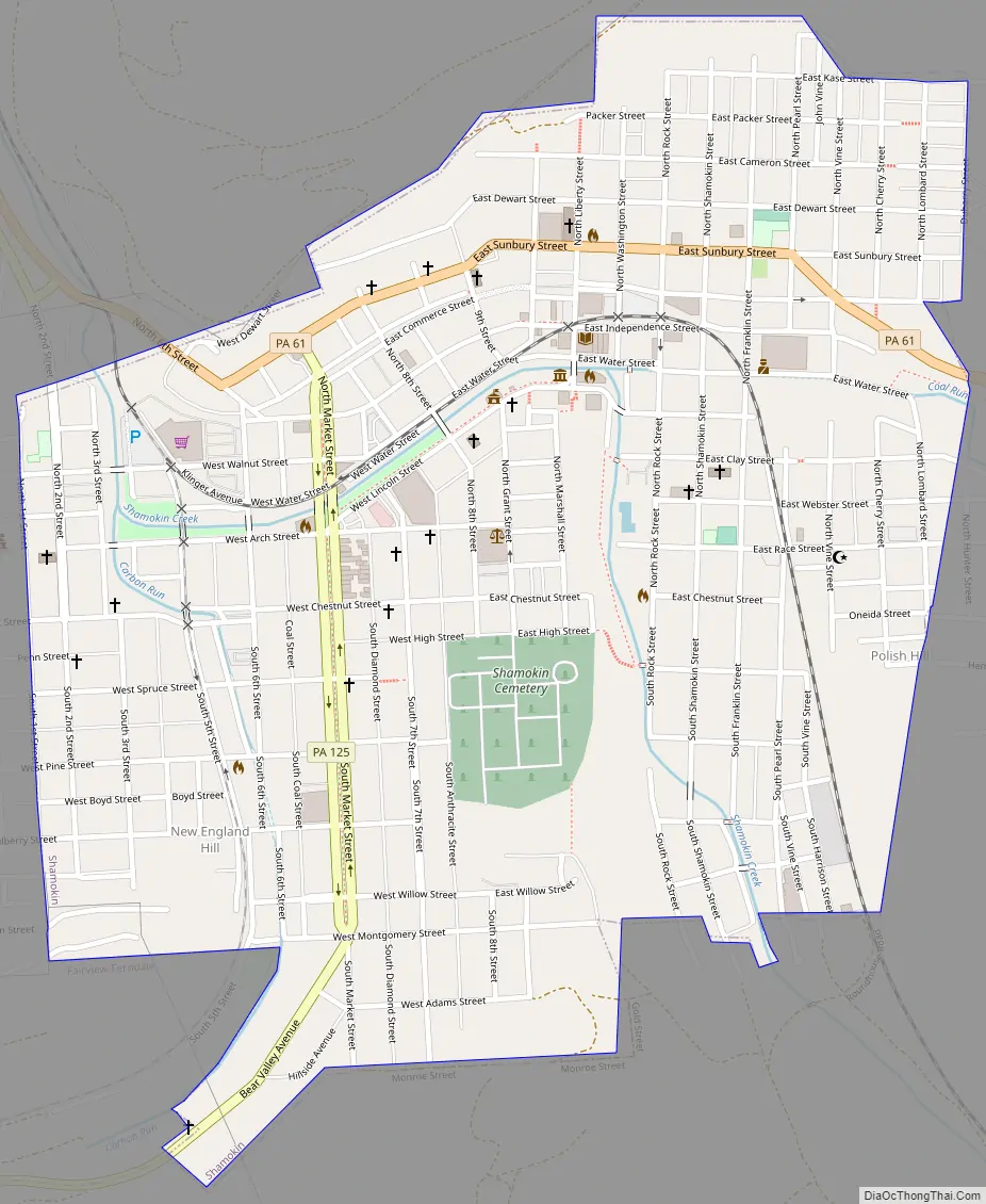
Online Interactive Map
Click on ![]() to view map in "full screen" mode.
to view map in "full screen" mode.
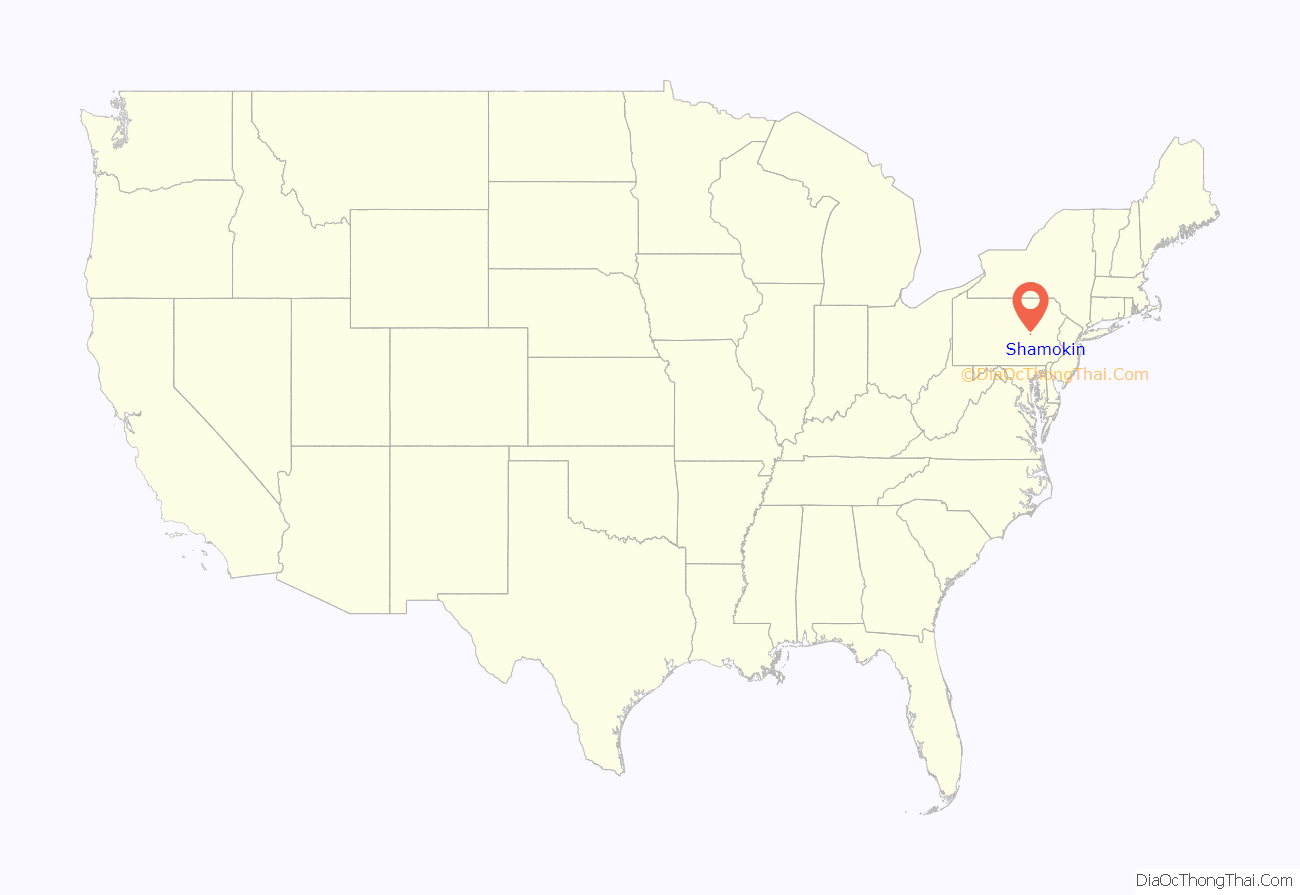
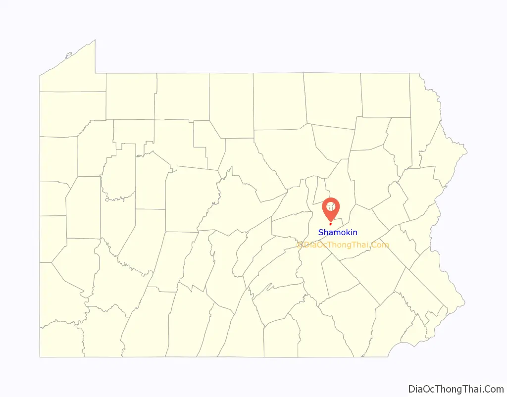
Shamokin location map. Where is Shamokin city?
History
The first humans to settle Shamokin were probably Shawnee migrants.
18th century
A large population of Lenape Indians (also known as Delaware Indians, were resettled there in the early 18th century after the Walking Purchase along the eastern border of the colonial Province of Pennsylvania in the upper northern reaches of the Delaware River in 1737. Canasatego of the Six Nations, enforcing the Walking Purchase on behalf of Deputy Governor of Pennsylvania George Thomas, ordered the Delaware Indians to go to two places on the Susquehanna River.
19th century
It was founded in 1835 by the coal speculators John C. Boyd and Ziba Bird, and was known as Boyd’s Stone-coal Quarry, Boydtown, and New Town. The discovery in the region of anthracite coal resources, or “hard coal”, became the basis of much industry. Railroad companies, such as Reading Railroad, bought interests in coal and became major employers in the area, building railroads to ship coal to markets and controlling most jobs. Workers gradually organized into unions to develop means of bargaining with these powerful companies. During the nationwide Great Railroad Strike of July 1877, workers in the 1877 Shamokin uprising marched and demonstrated.
Shamokin was incorporated earlier as a borough under the Commonwealth constitution on November 9, 1864, and as a city on February 21, 1949. In addition to anthracite coal-mining, it became an industrial center in the 19th century, with silk and knitting mills, stocking and shirt factories, wagon shops, ironworks, and brickyards. The dominant Eagle Silk Mill became the largest textile manufacturing building under one roof in the United States.
Famous inventor, scientist and entrepreneur Thomas A. Edison, briefly a resident of nearby Sunbury, established the Edison Illuminating Company of Shamokin in 1882. When the Shamokin power generating station on Independence Street started on September 22, 1883, St. Edward’s Roman Catholic Church, which was connected, became the world’s first church lit by electricity. Until 2017, Jones Hardware Company was at the Independence Street site of the former Edison electrical station.
In the 1877 Shamokin uprising, railroad workers and miners angered by unexpected cuts in wages begun by the Baltimore and Ohio Railroad (B&O) joined what developed across the East into the Great Railroad Strike of 1877, which began with strikes in neighboring Martinsburg, West Virginia, then others in Maryland, including the headquarters of the B&O at its Camden Street Station in Downtown Baltimore. It then spread north and west into Pennsylvania and to Pittsburgh and other sites in several major industrial cities in Pennsylvania, as well as more cities in the Northeast and as far west as St. Louis and Missouri. Mayor William Douty commissioned a citizen-manned militia to help during the unrest. They shot into a group of strikers, wounding 12 and killing two bystanders who were not involved in the protest. Five strikers were convicted of rioting and jailed for up to eight months for their part in the actions.
20th century
In 1905, resident William A. Conway wrote Murder at Hickory Ridge, a dime novel, hoping to cash in on their popularity. It was a fictionalized account of an unsolved murder in the Shamokin area. His two brothers, Alphonsus E. and John J., printed the book on a press in their garage. They continued their business, starting the Conway Print Shop. With the profits from the novel, the Conways started the Black Diamond Publishing Company in 1905 and founded Black Diamond Magazine to disseminate news of the anthracite coal region. They developed a way to print a roll of tickets, planning to market them to the movie theaters being built in the area. To meet a request by the nearby Hazleton Baseball Club, they partnered with merchant Nicholas R. Ludes to make a big purchase of colored paper.
Together the Conway brothers and Ludes founded what became the National Ticket Company in Shamokin in 1907. At one time it was the nation’s largest ticket manufacturing company. Its first production facility was built in 1911 at the corner of Pearl and Webster Streets. A 1942 fire gutted the plant, although the brick shell still stands. The replacement building at Pearl Street and Ticket Avenue was completed in 1950 and has since served as company headquarters. The business is still owned by descendants of the Conway and Ludes families. In the 21st century National Ticket has developed international customers.
Edgewood Park, also known as Indian Park, operated in Shamokin as an increasingly popular amusement park from 1905 through the late 1950s, featuring a roller coaster and other rides and entertainments, and attracting regional crowds. Its 97 acres (39 ha) included a large pond. Faced with different needs in the 1950s, the Shamokin area school district developed this property for new elementary and high schools.
The Victoria Theatre in town was listed on the National Register of Historic Places maintained by the U.S. Department of the Interior in 1985. It was demolished in 1999 and delisted in 2004.
21st century
Present-day Shamokin lies along Shamokin Creek.
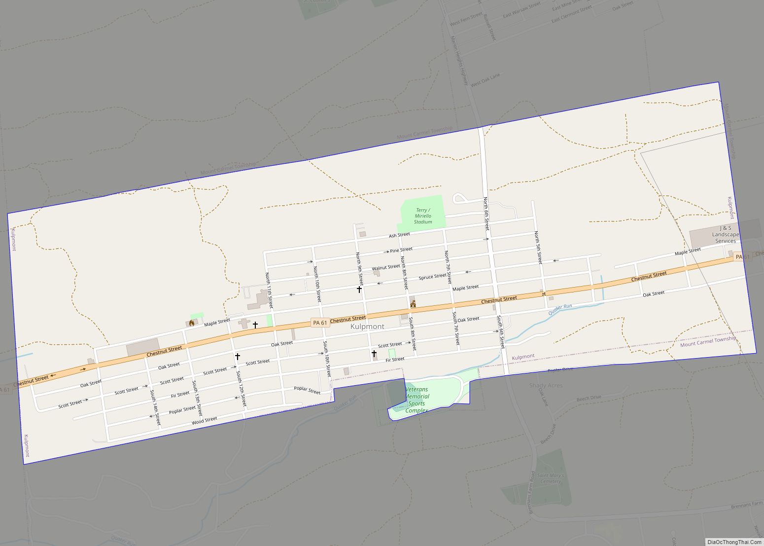
Shamokin Road Map
Shamokin city Satellite Map

Geography
According to the United States Census Bureau, the city has an area of 0.8 square miles (2.1 km), all land.
Shamokin has two small creeks that divide the town. Carbon Run merges with Shamokin Creek in the north of the town and empties into the Susquehanna River just south of Shamokin Dam near Sunbury.
The city has a warm-summer humid continental climate (Dfb) and average monthly temperatures range from 25.9 °F (−3.4 °C) in January to 71.1 °F (21.7 °C) in July. [1] The hardiness zone is 6a.
It is also home to the world’s largest man made culm bank – the Cameron/Glen Burn Colliery Culm Bank.
See also
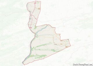
Map of Pennsylvania State and its subdivision:- Adams
- Allegheny
- Armstrong
- Beaver
- Bedford
- Berks
- Blair
- Bradford
- Bucks
- Butler
- Cambria
- Cameron
- Carbon
- Centre
- Chester
- Clarion
- Clearfield
- Clinton
- Columbia
- Crawford
- Cumberland
- Dauphin
- Delaware
- Elk
- Erie
- Fayette
- Forest
- Franklin
- Fulton
- Greene
- Huntingdon
- Indiana
- Jefferson
- Juniata
- Lackawanna
- Lancaster
- Lawrence
- Lebanon
- Lehigh
- Luzerne
- Lycoming
- Mc Kean
- Mercer
- Mifflin
- Monroe
- Montgomery
- Montour
- Northampton
- Northumberland
- Perry
- Philadelphia
- Pike
- Potter
- Schuylkill
- Snyder
- Somerset
- Sullivan
- Susquehanna
- Tioga
- Union
- Venango
- Warren
- Washington
- Wayne
- Westmoreland
- Wyoming
- York
- Alabama
- Alaska
- Arizona
- Arkansas
- California
- Colorado
- Connecticut
- Delaware
- District of Columbia
- Florida
- Georgia
- Hawaii
- Idaho
- Illinois
- Indiana
- Iowa
- Kansas
- Kentucky
- Louisiana
- Maine
- Maryland
- Massachusetts
- Michigan
- Minnesota
- Mississippi
- Missouri
- Montana
- Nebraska
- Nevada
- New Hampshire
- New Jersey
- New Mexico
- New York
- North Carolina
- North Dakota
- Ohio
- Oklahoma
- Oregon
- Pennsylvania
- Rhode Island
- South Carolina
- South Dakota
- Tennessee
- Texas
- Utah
- Vermont
- Virginia
- Washington
- West Virginia
- Wisconsin
- Wyoming