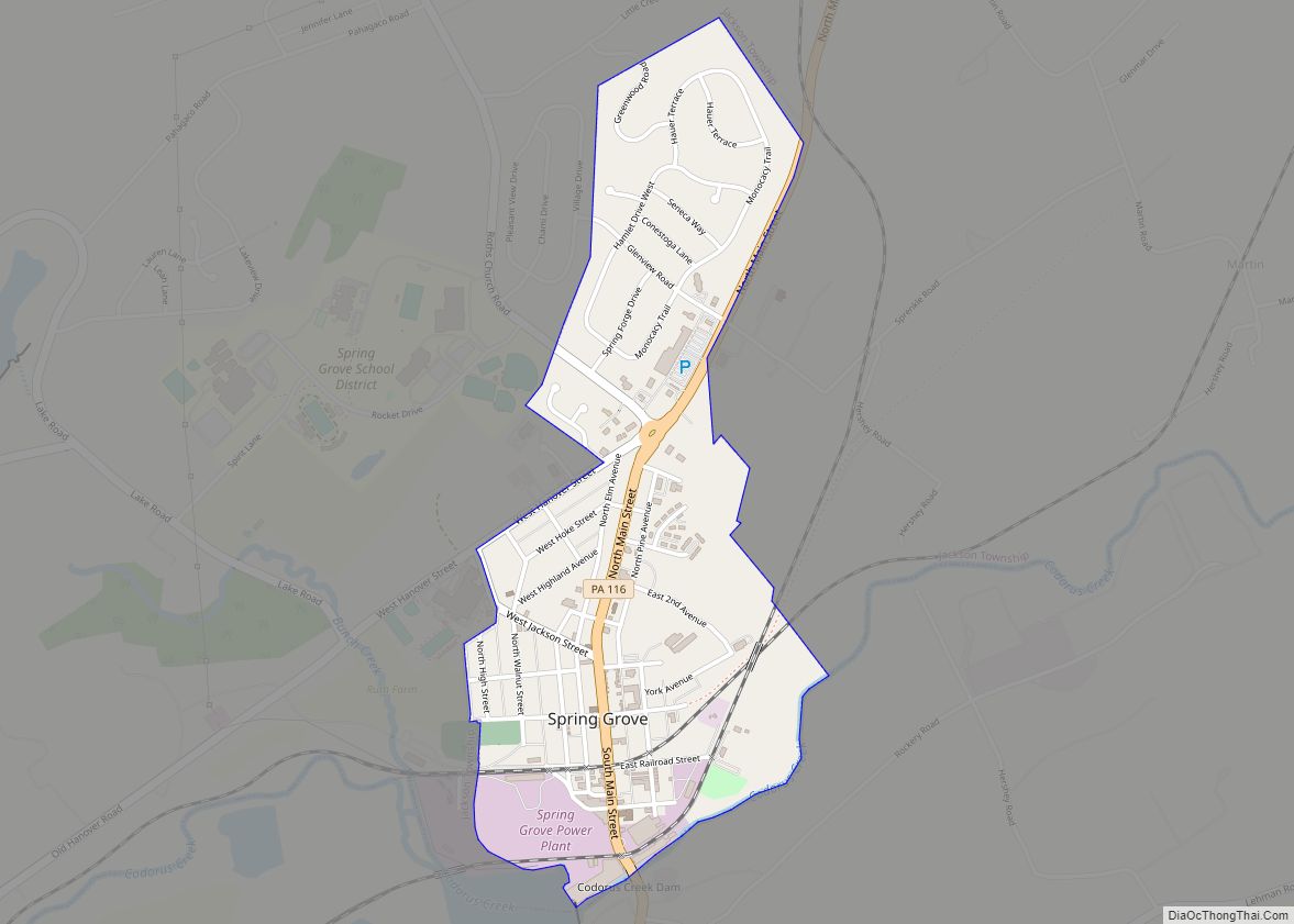
Spring Grove is a borough in York County, Pennsylvania, United States. The population was 2,372 at the 2020 census.]. Spring Grove borough overview: Name: Spring Grove borough LSAD Code: 21 LSAD Description: borough (suffix) State: Pennsylvania County: York County Incorporated: 1882 Elevation: 443 ft (135 m) Total Area: 0.78 sq mi (2.03 km²) Land Area: 0.78 sq mi (2.03 km²) Water Area: 0.00 sq mi ... Read more
Pennsylvania Cities and Places
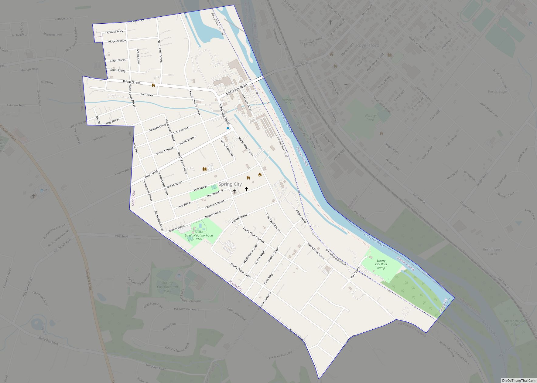
Spring City is a borough in Chester County, Pennsylvania, United States. The population was 3,494 at the 2020 census. Spring City is a member of the Spring-Ford Area School District. It is situated along the Schuylkill River, which divides Chester and Montgomery counties. Directly across the river is the borough of Royersford. Spring City borough ... Read more
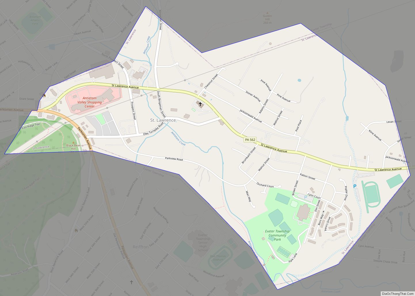
St. Lawrence is a borough in Berks County, Pennsylvania, United States. The population was 1,809 at the 2010 census. St. Lawrence borough overview: Name: St. Lawrence borough LSAD Code: 21 LSAD Description: borough (suffix) State: Pennsylvania County: Berks County Elevation: 400 ft (100 m) Total Area: 0.90 sq mi (2.32 km²) Land Area: 0.90 sq mi (2.32 km²) Water Area: 0.00 sq mi (0.00 km²) Total ... Read more
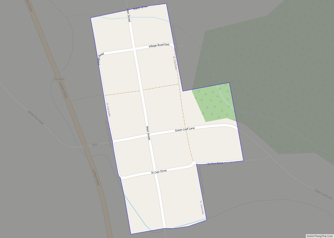
St. Clairsville is a borough in Bedford County, Pennsylvania, United States. The population was 76 at the 2020 census. St. Clairsville was named after Major-General Arthur St. Clair, Revolutionary War veteran and Northwest Territory governor. St. Clairsville borough overview: Name: St. Clairsville borough LSAD Code: 21 LSAD Description: borough (suffix) State: Pennsylvania County: Bedford County ... Read more
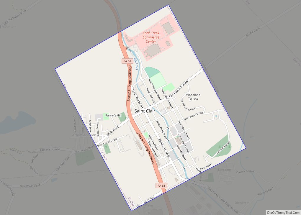
St. Clair is a borough in Schuylkill County, Pennsylvania, United States. It is located 2 mi (3.2 km) north of Pottsville in the southern Coal Region. Extensive deposits of hard coal are present. St. Clair is noted for manufacturing squibs, fuses and caps used in the mining industry. Mill Creek, which runs through the center of St. ... Read more
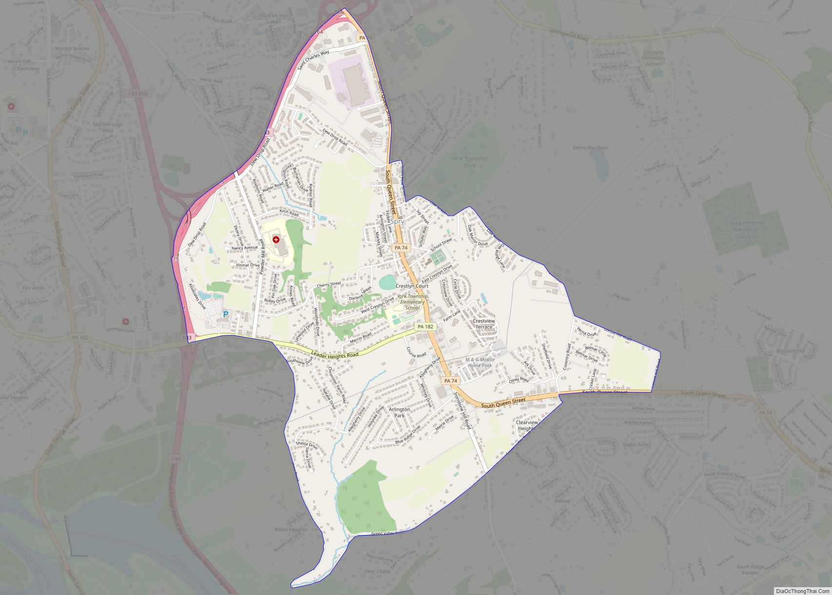
Spry is a census-designated place (CDP) in York County, Pennsylvania, United States. The population was 4,891 at the 2010 census. Spry CDP overview: Name: Spry CDP LSAD Code: 57 LSAD Description: CDP (suffix) State: Pennsylvania County: York County Total Area: 2.6 sq mi (6.7 km²) Land Area: 2.6 sq mi (6.7 km²) Total Population: 4,891 Population Density: 1,900/sq mi (730/km²) FIPS code: ... Read more
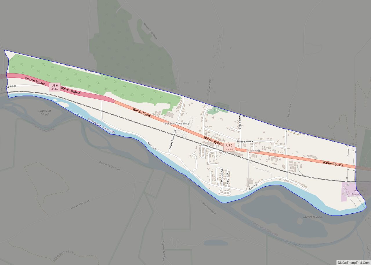
Starbrick is a census-designated place located in Conewango Township, Warren County in the state of Pennsylvania, United States. The community is located along the famous U.S. Route 6, just to the west of the city of Warren. As of the 2010 census the population was 522 residents. Starbrick CDP overview: Name: Starbrick CDP LSAD Code: ... Read more
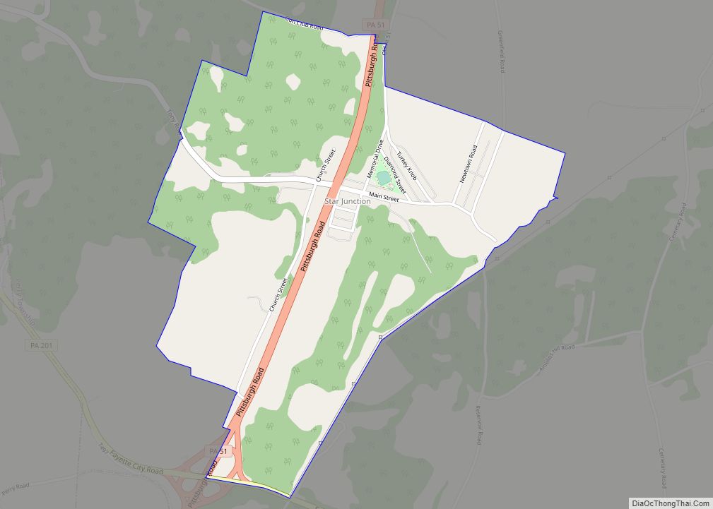
Star Junction is an unincorporated community and census-designated place in Perry Township, Fayette County, Pennsylvania, United States. The community is located on Pennsylvania Route 51. At the 2010 census, the population was 616. Star Junction CDP overview: Name: Star Junction CDP LSAD Code: 57 LSAD Description: CDP (suffix) State: Pennsylvania County: Fayette County Elevation: 981 ft ... Read more
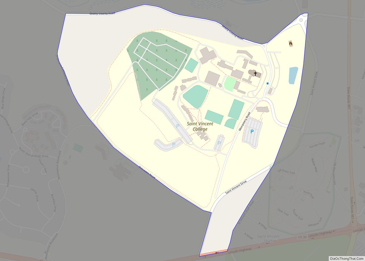
Saint Vincent College is a private Benedictine college in Latrobe, Pennsylvania. Founded in 1846 by Boniface Wimmer, a monk from Bavaria, it is operated by the Benedictine monks of Saint Vincent Archabbey, the first Benedictine monastery in the United States, which was also founded by Wimmer. St. Vincent College CDP overview: Name: St. Vincent College ... Read more
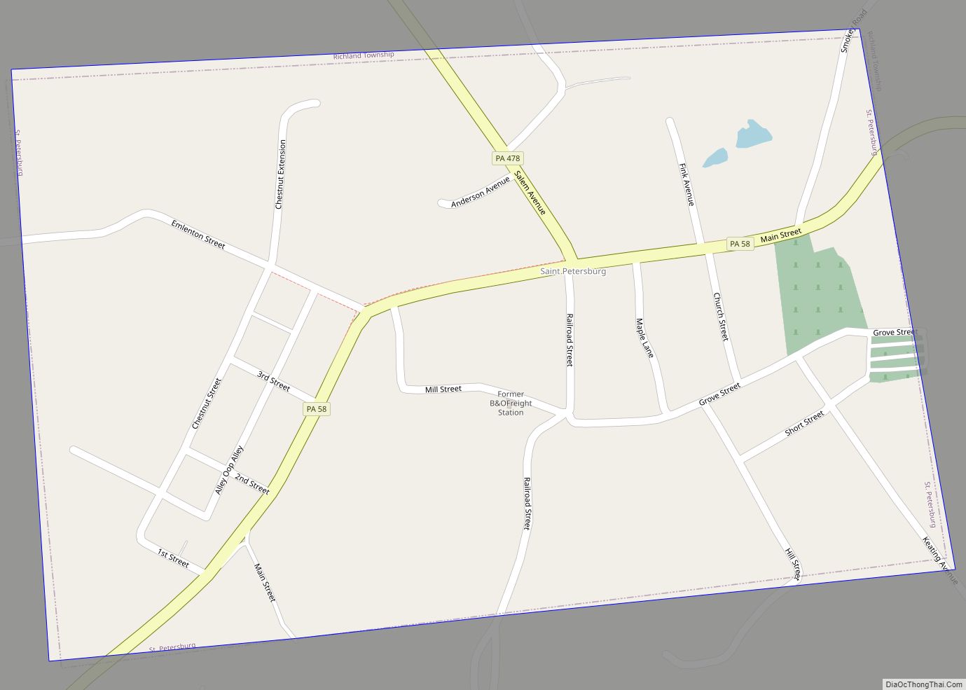
St. Petersburg is a borough in Clarion County, Pennsylvania, United States. The population was 338 at the 2020 census. St. Petersburg borough overview: Name: St. Petersburg borough LSAD Code: 21 LSAD Description: borough (suffix) State: Pennsylvania County: Clarion County Elevation: 1,390 ft (420 m) Total Area: 0.32 sq mi (0.83 km²) Land Area: 0.32 sq mi (0.83 km²) Water Area: 0.00 sq mi (0.00 km²) Total ... Read more
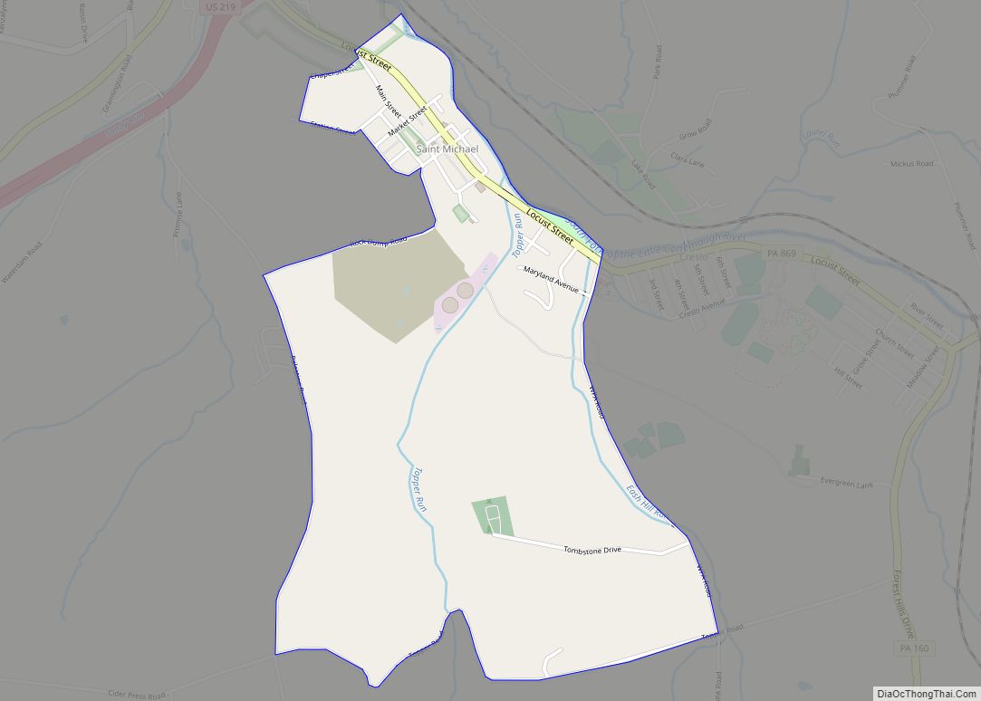
St. Michael is an unincorporated community and census-designated place in Cambria County, Pennsylvania, United States. Its ZIP code is 15951. It was formerly part of the St. Michael-Sidman census-designated place in Cambria County, before splitting into two separate CDPs for the 2010 census. As of the 2010 census the population of St. Michael was 408. ... Read more
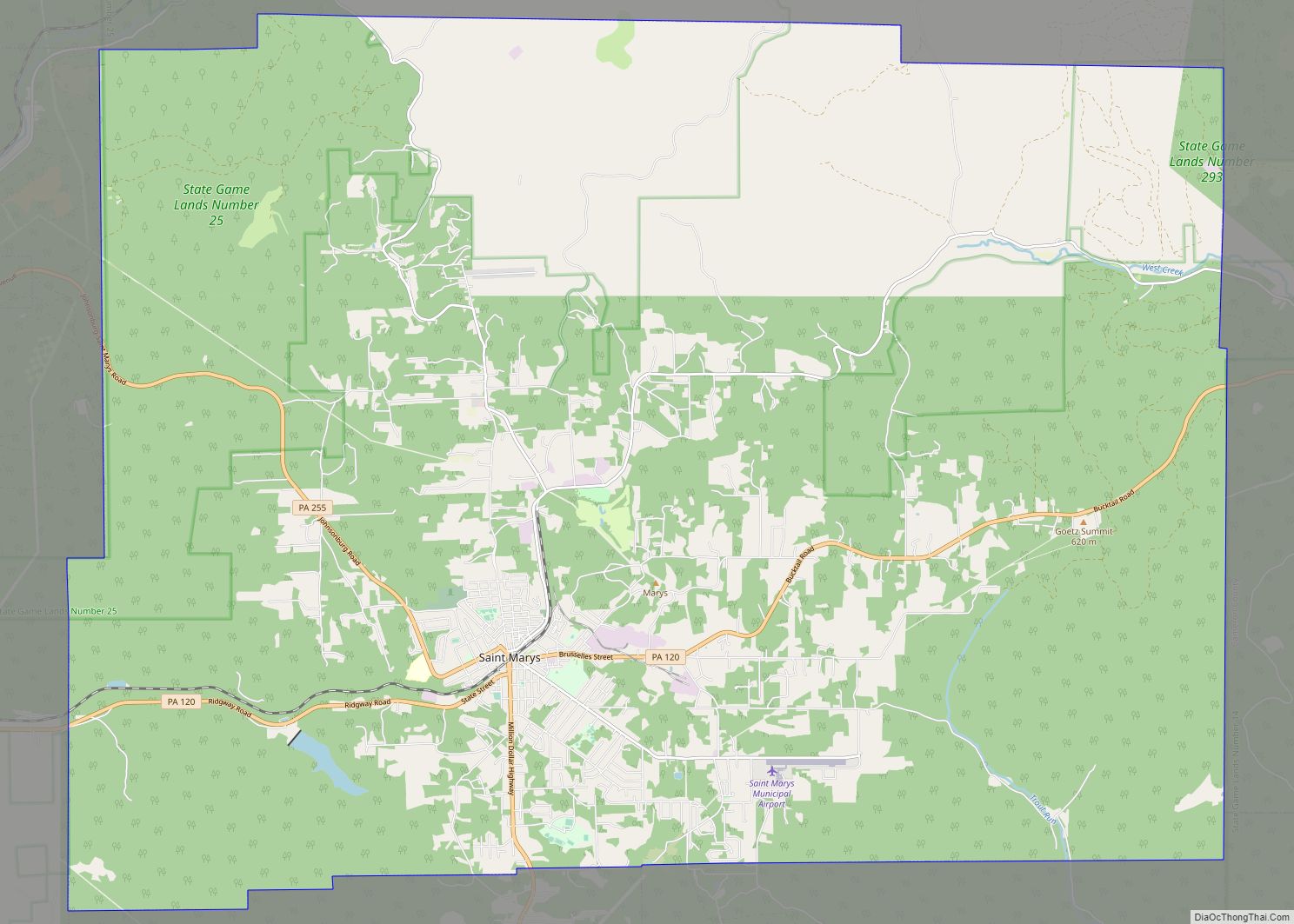
St. Marys is a city in Elk County, Pennsylvania, United States. The population is 12,429 as of 2019. Originally a small town inhabited by mostly Bavarian Roman Catholics, it was founded December 8, 1842. It is home to Straub Brewery and the first Benedictine convent in the United States. In 1992, the borough of St. ... Read more
