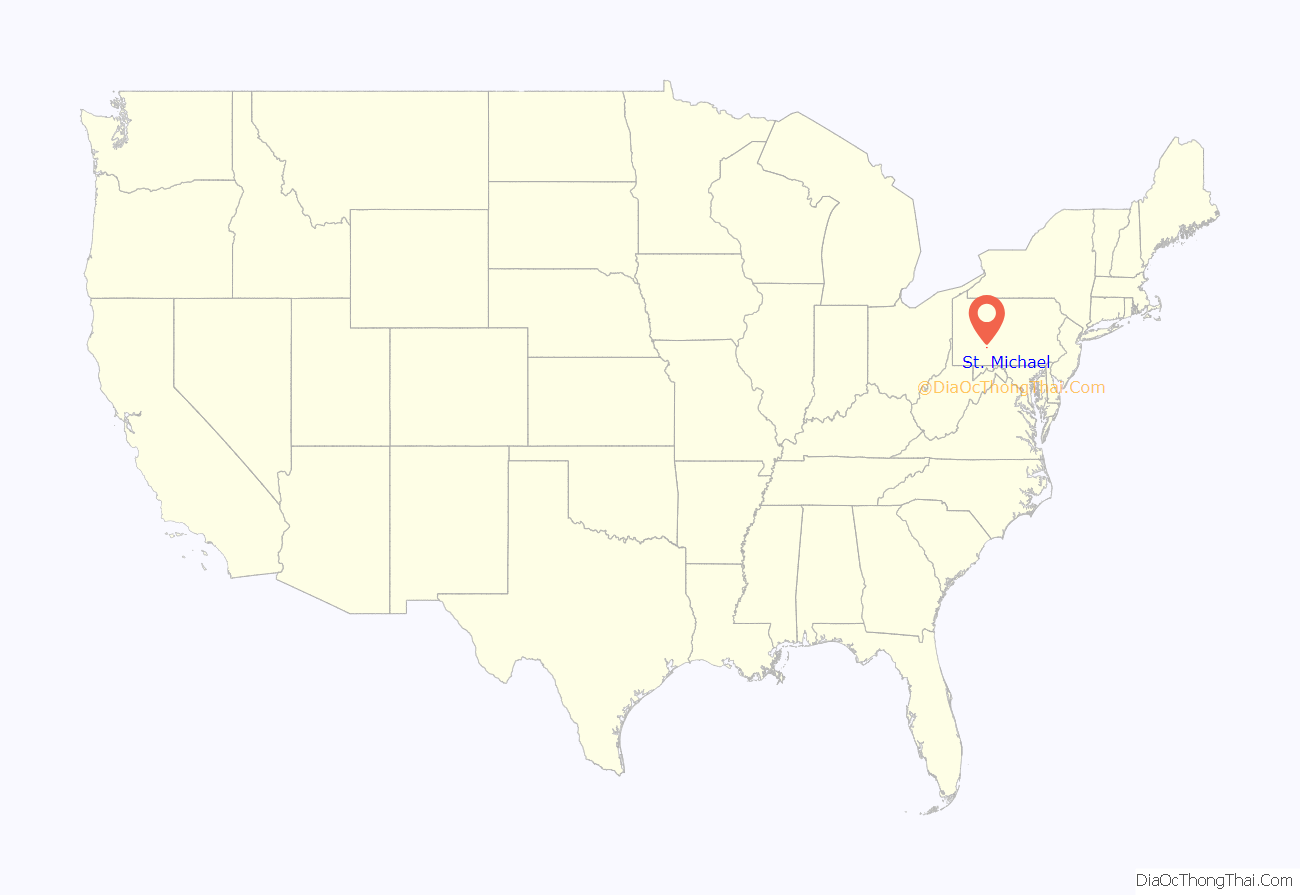
St. Michael is an unincorporated community and census-designated place in Cambria County, Pennsylvania, United States. Its ZIP code is 15951. It was formerly part of the St. Michael-Sidman census-designated place in Cambria County, before splitting into two separate CDPs for the 2010 census. As of the 2010 census the population of St. Michael was 408.
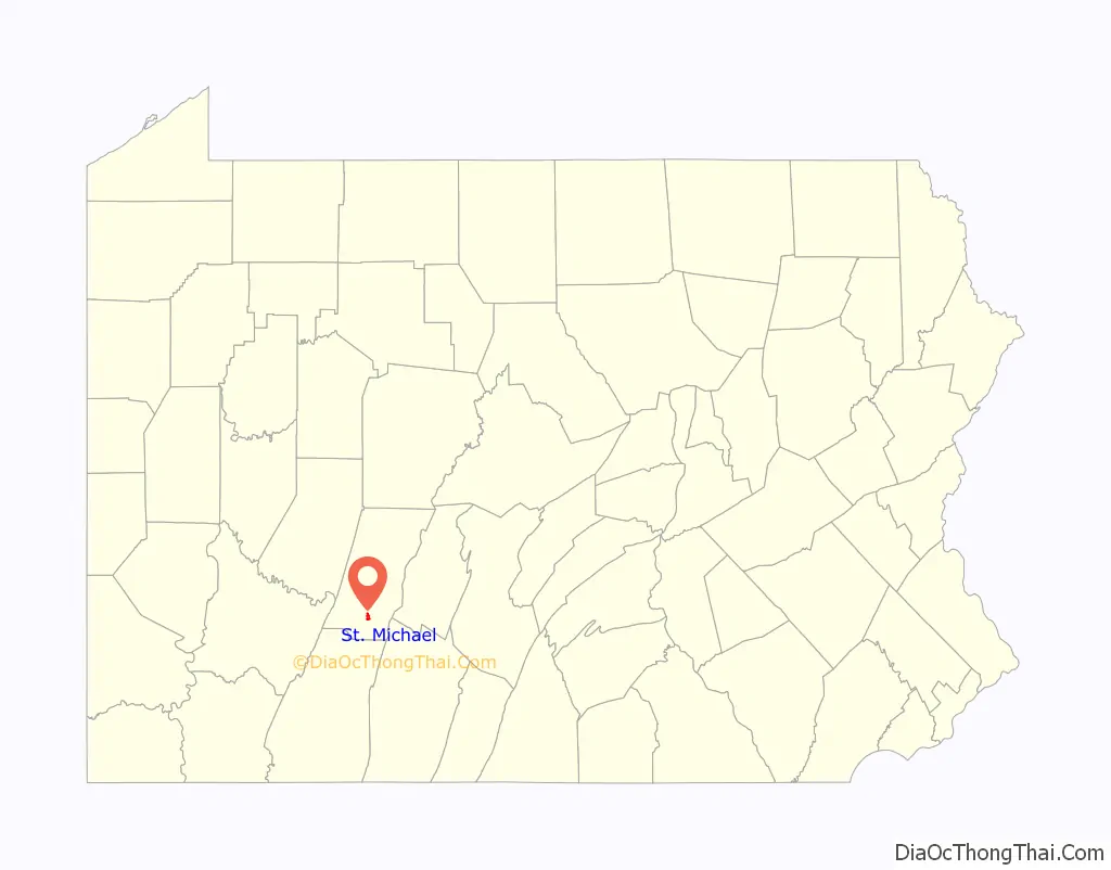
St. Michael is located in southeastern Cambria County in the valley of the South Fork of the Little Conemaugh River, less than a mile southeast of U.S. Route 219, a four-lane highway which leads 12 miles (19 km) north to Ebensburg, the county seat, and 11 miles (18 km) southwest (via Pennsylvania Route 56) to Johnstown. The community of Sidman is one mile southeast of St. Michael, also in the valley of the South Fork.
| Name: | St. Michael CDP |
|---|---|
| LSAD Code: | 57 |
| LSAD Description: | CDP (suffix) |
| State: | Pennsylvania |
| County: | Cambria County |
| Elevation: | 1,601 ft (488 m) |
| Total Area: | 1.05 sq mi (2.72 km²) |
| Land Area: | 1.04 sq mi (2.70 km²) |
| Water Area: | 0.01 sq mi (0.03 km²) |
| Total Population: | 408 |
| Population Density: | 392/sq mi (151.4/km²) |
| ZIP code: | 15951 |
| FIPS code: | 4267352 |
| GNISfeature ID: | 1186465 |
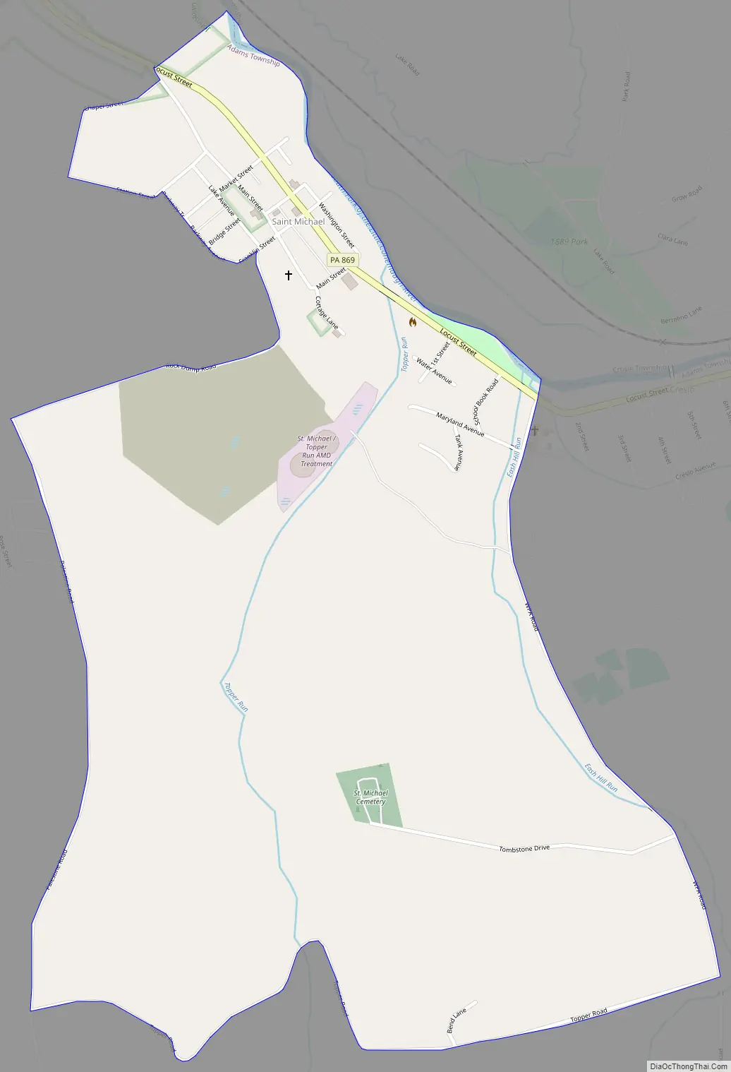
Online Interactive Map
Click on ![]() to view map in "full screen" mode.
to view map in "full screen" mode.
St. Michael location map. Where is St. Michael CDP?
St. Michael Road Map
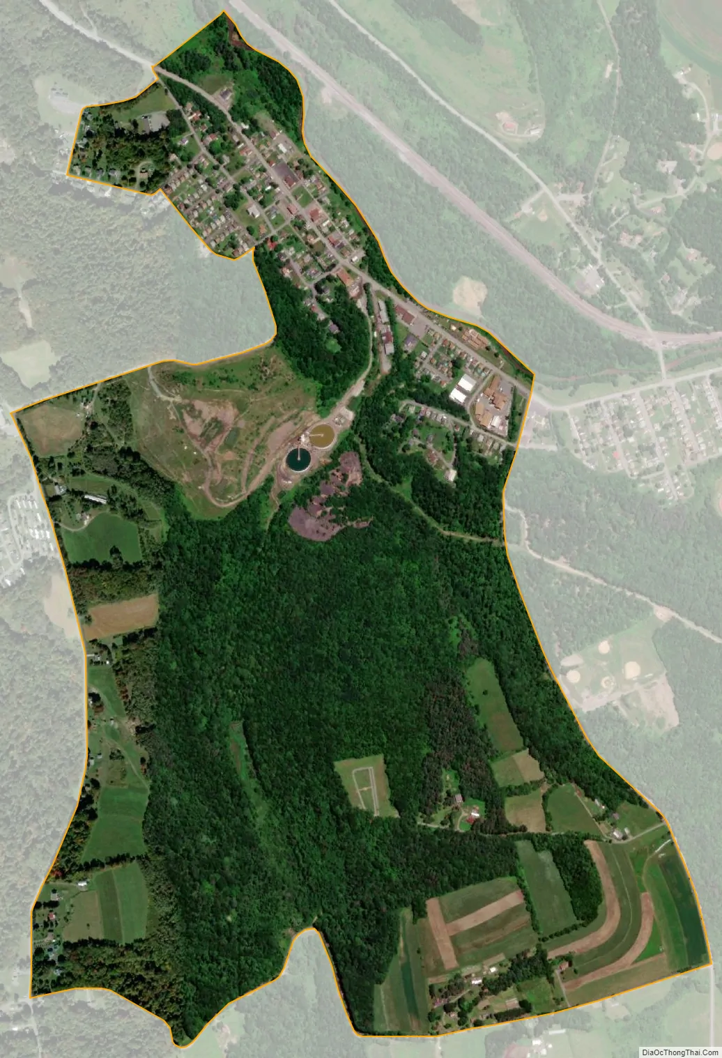
St. Michael city Satellite Map
See also
Map of Pennsylvania State and its subdivision:- Adams
- Allegheny
- Armstrong
- Beaver
- Bedford
- Berks
- Blair
- Bradford
- Bucks
- Butler
- Cambria
- Cameron
- Carbon
- Centre
- Chester
- Clarion
- Clearfield
- Clinton
- Columbia
- Crawford
- Cumberland
- Dauphin
- Delaware
- Elk
- Erie
- Fayette
- Forest
- Franklin
- Fulton
- Greene
- Huntingdon
- Indiana
- Jefferson
- Juniata
- Lackawanna
- Lancaster
- Lawrence
- Lebanon
- Lehigh
- Luzerne
- Lycoming
- Mc Kean
- Mercer
- Mifflin
- Monroe
- Montgomery
- Montour
- Northampton
- Northumberland
- Perry
- Philadelphia
- Pike
- Potter
- Schuylkill
- Snyder
- Somerset
- Sullivan
- Susquehanna
- Tioga
- Union
- Venango
- Warren
- Washington
- Wayne
- Westmoreland
- Wyoming
- York
- Alabama
- Alaska
- Arizona
- Arkansas
- California
- Colorado
- Connecticut
- Delaware
- District of Columbia
- Florida
- Georgia
- Hawaii
- Idaho
- Illinois
- Indiana
- Iowa
- Kansas
- Kentucky
- Louisiana
- Maine
- Maryland
- Massachusetts
- Michigan
- Minnesota
- Mississippi
- Missouri
- Montana
- Nebraska
- Nevada
- New Hampshire
- New Jersey
- New Mexico
- New York
- North Carolina
- North Dakota
- Ohio
- Oklahoma
- Oregon
- Pennsylvania
- Rhode Island
- South Carolina
- South Dakota
- Tennessee
- Texas
- Utah
- Vermont
- Virginia
- Washington
- West Virginia
- Wisconsin
- Wyoming


