St. Marys is a city in Elk County, Pennsylvania, United States. The population is 12,429 as of 2019. Originally a small town inhabited by mostly Bavarian Roman Catholics, it was founded December 8, 1842. It is home to Straub Brewery and the first Benedictine convent in the United States. In 1992, the borough of St. Marys absorbed the surrounding township of Benzinger and incorporated as a city. Despite its place as the second-largest city by area in Pennsylvania behind Philadelphia, its low population leads to it being one of the state’s least dense cities.
St. Marys lies in the center of Pennsylvania’s elk country. It is one of the few places east of the Mississippi River that allows hunting of wild elk. The area is known for its access to outdoor activities, including trout streams and state hunting lands inside the city limits.
| Name: | St. Marys city |
|---|---|
| LSAD Code: | 25 |
| LSAD Description: | city (suffix) |
| State: | Pennsylvania |
| County: | Elk County |
| Elevation: | 1,666 ft (508 m) |
| Total Area: | 99.51 sq mi (257.72 km²) |
| Land Area: | 99.32 sq mi (257.23 km²) |
| Water Area: | 0.19 sq mi (0.49 km²) |
| Total Population: | 12,738 |
| Population Density: | 128.01/sq mi (49.43/km²) |
| Area code: | 814 |
| FIPS code: | 4267344 |
Online Interactive Map
Click on ![]() to view map in "full screen" mode.
to view map in "full screen" mode.
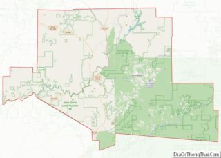
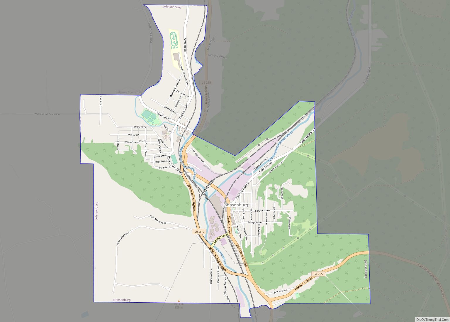
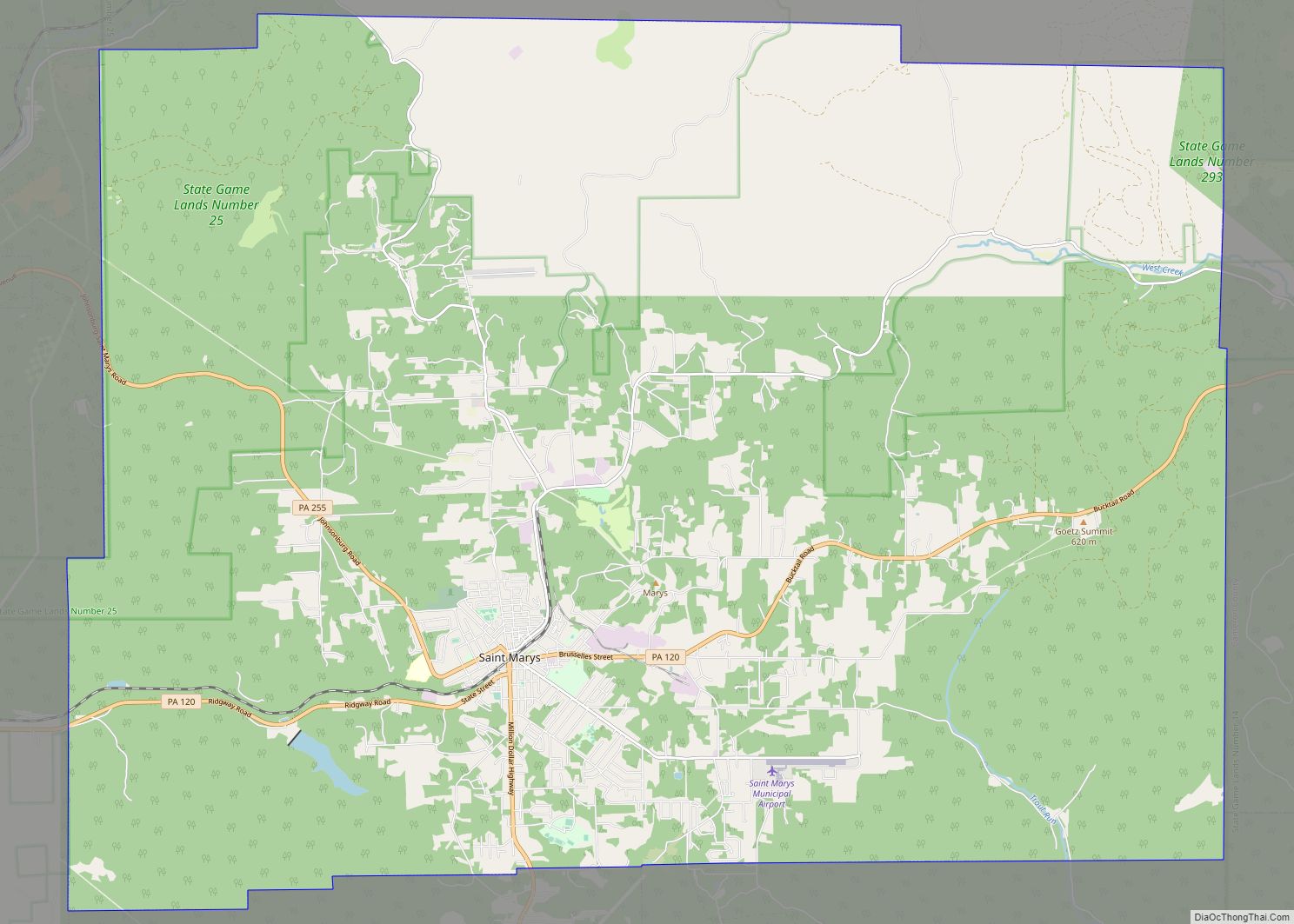
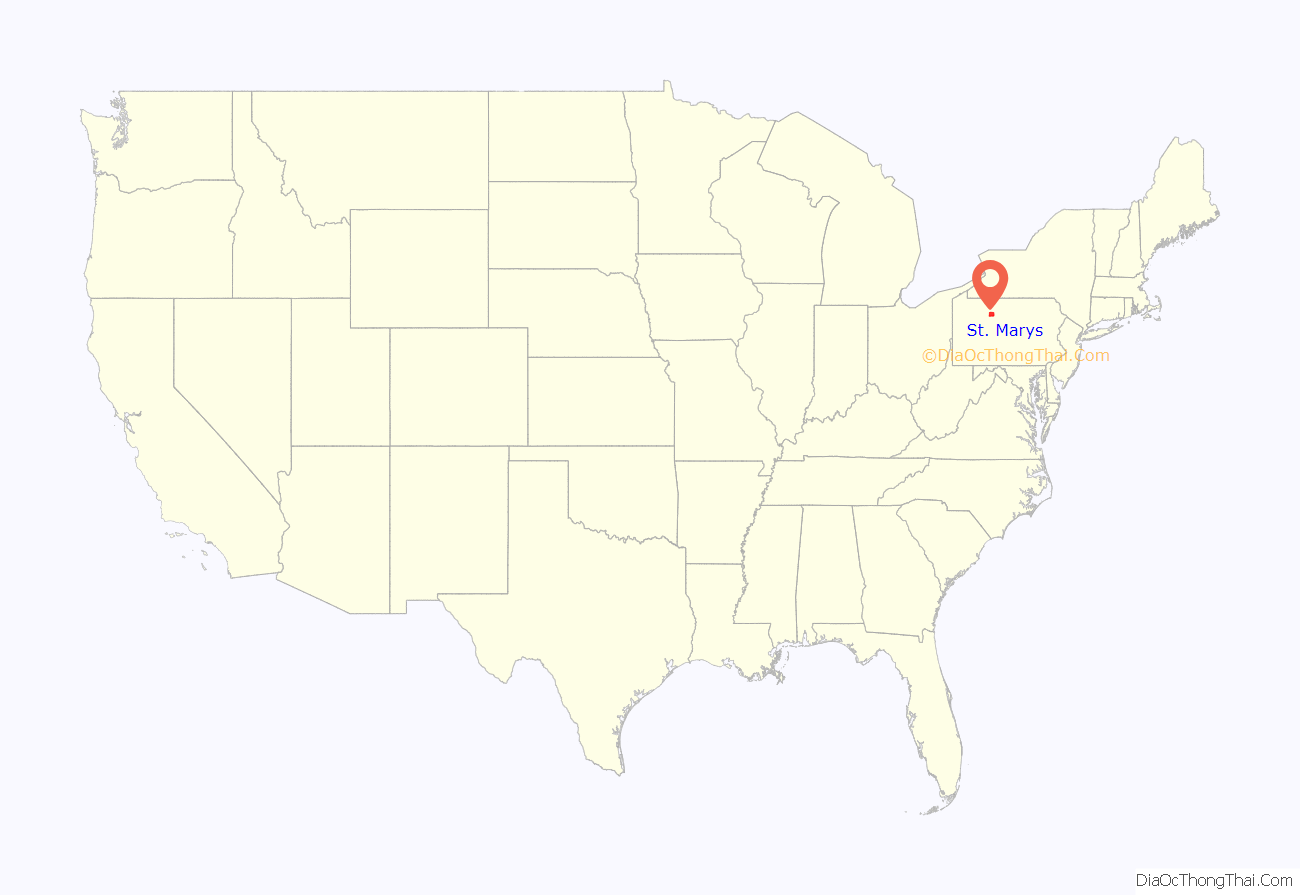
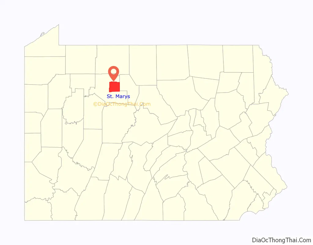
St. Marys location map. Where is St. Marys city?
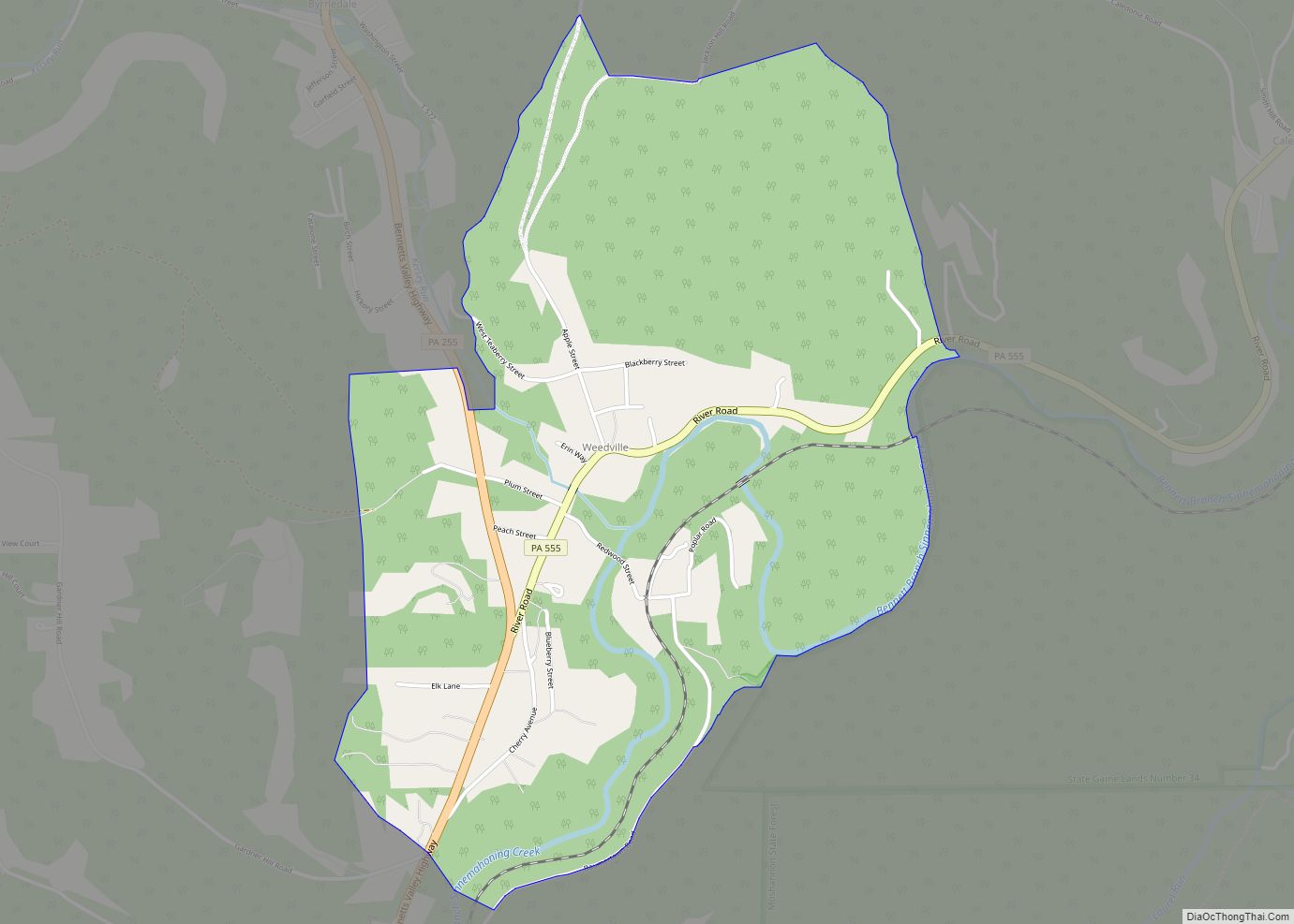
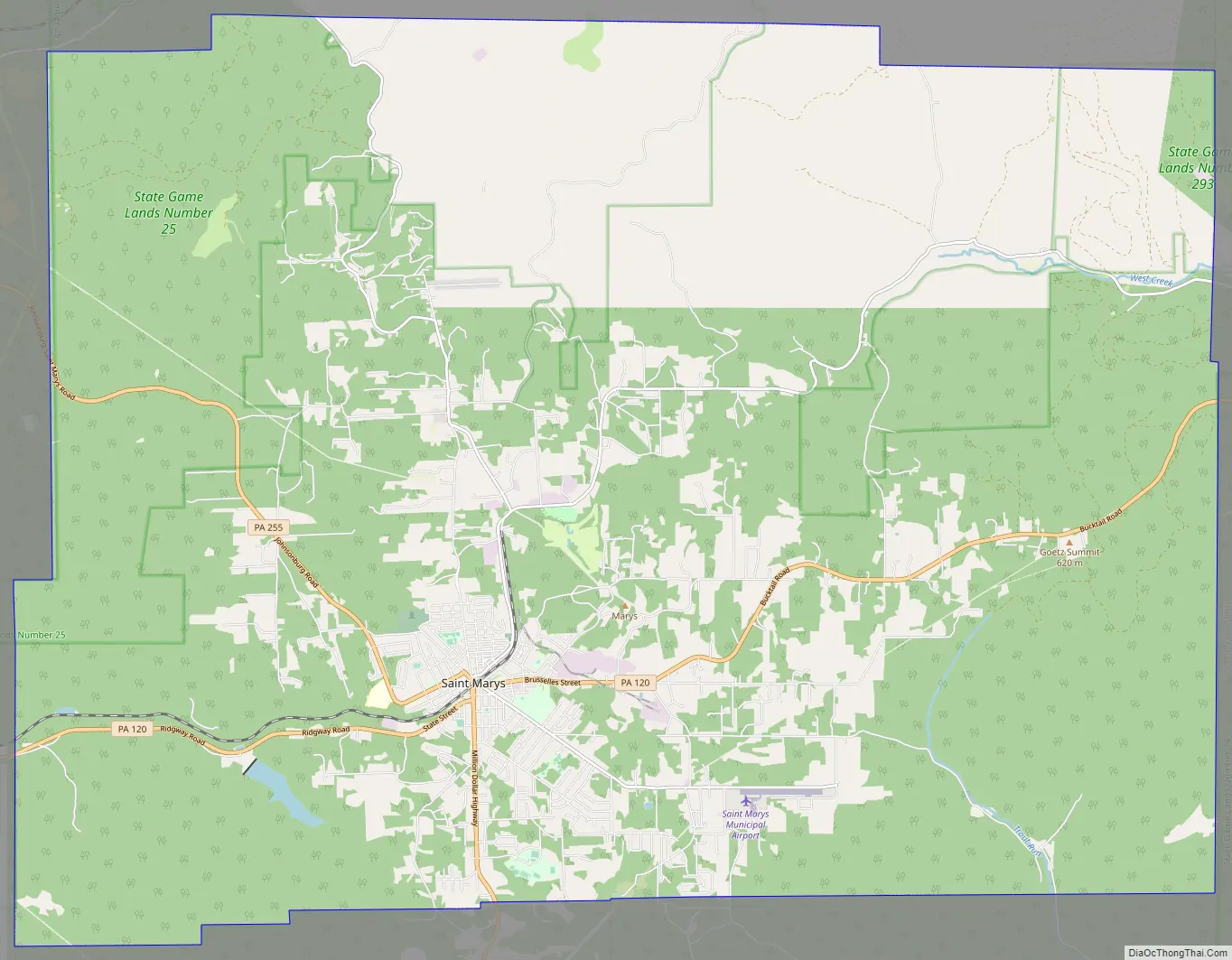
St. Marys Road Map
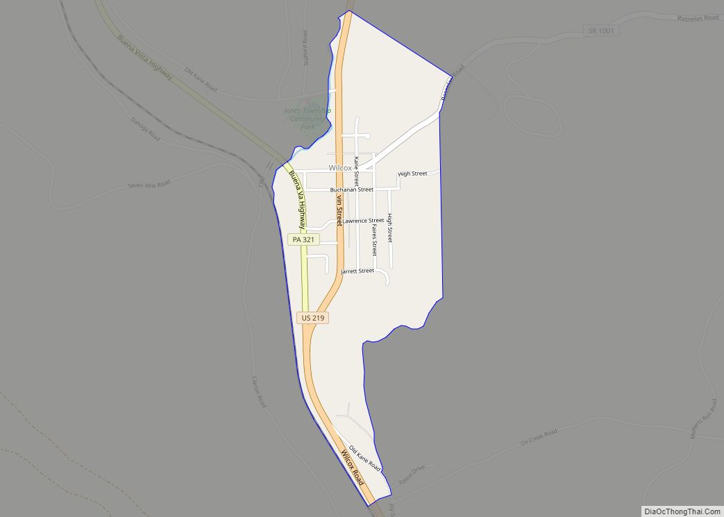
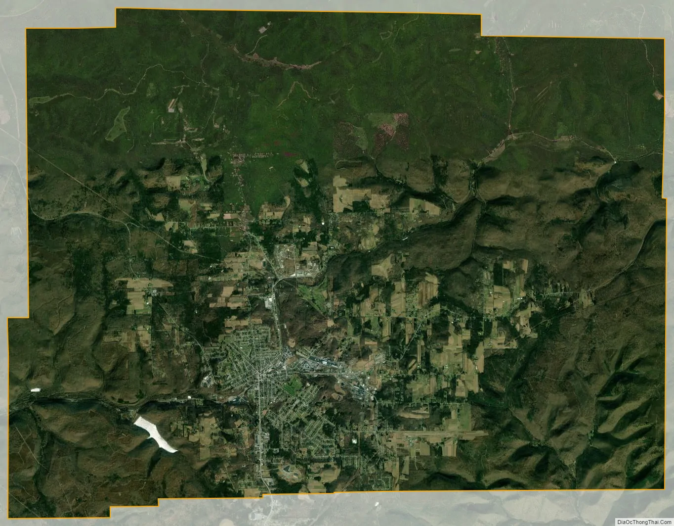
St. Marys city Satellite Map
Geography
St. Marys is located at 41°26′15″N 78°32′34″W / 41.437600°N 78.542724°W / 41.437600; -78.542724 (41.437600, -78.542724).
According to the United States Census Bureau, the city has a total area of 99.5 square miles (258 km), of which 99.3 sq mi (257 km) is land and 0.2 sq mi (0.52 km) (0.16%) is water. Most of that area is unurbanized, and the large size is due to the city’s 1992 merger with surrounding Benzinger Township. The city is at a relatively high elevation of 1,666 ft (508 m) above sea level. The city’s territory is bordered by Jones Township to the north, Cameron County to the east, Fox and Jay Townships to the south, and Ridgway Township to the west.
The downtown area lies directly on the Eastern Continental Divide, such that water on the eastern side of the city drains into the Atlantic Ocean, while the western side drains to the Gulf of Mexico.
See also
Map of Pennsylvania State and its subdivision:- Adams
- Allegheny
- Armstrong
- Beaver
- Bedford
- Berks
- Blair
- Bradford
- Bucks
- Butler
- Cambria
- Cameron
- Carbon
- Centre
- Chester
- Clarion
- Clearfield
- Clinton
- Columbia
- Crawford
- Cumberland
- Dauphin
- Delaware
- Elk
- Erie
- Fayette
- Forest
- Franklin
- Fulton
- Greene
- Huntingdon
- Indiana
- Jefferson
- Juniata
- Lackawanna
- Lancaster
- Lawrence
- Lebanon
- Lehigh
- Luzerne
- Lycoming
- Mc Kean
- Mercer
- Mifflin
- Monroe
- Montgomery
- Montour
- Northampton
- Northumberland
- Perry
- Philadelphia
- Pike
- Potter
- Schuylkill
- Snyder
- Somerset
- Sullivan
- Susquehanna
- Tioga
- Union
- Venango
- Warren
- Washington
- Wayne
- Westmoreland
- Wyoming
- York
- Alabama
- Alaska
- Arizona
- Arkansas
- California
- Colorado
- Connecticut
- Delaware
- District of Columbia
- Florida
- Georgia
- Hawaii
- Idaho
- Illinois
- Indiana
- Iowa
- Kansas
- Kentucky
- Louisiana
- Maine
- Maryland
- Massachusetts
- Michigan
- Minnesota
- Mississippi
- Missouri
- Montana
- Nebraska
- Nevada
- New Hampshire
- New Jersey
- New Mexico
- New York
- North Carolina
- North Dakota
- Ohio
- Oklahoma
- Oregon
- Pennsylvania
- Rhode Island
- South Carolina
- South Dakota
- Tennessee
- Texas
- Utah
- Vermont
- Virginia
- Washington
- West Virginia
- Wisconsin
- Wyoming