St. Clairsville is a borough in Bedford County, Pennsylvania, United States. The population was 76 at the 2020 census.
St. Clairsville was named after Major-General Arthur St. Clair, Revolutionary War veteran and Northwest Territory governor.
| Name: | St. Clairsville borough |
|---|---|
| LSAD Code: | 21 |
| LSAD Description: | borough (suffix) |
| State: | Pennsylvania |
| County: | Bedford County |
| Incorporated: | 1867 |
| Elevation: | 1,135 ft (346 m) |
| Total Area: | 0.03 sq mi (0.08 km²) |
| Land Area: | 0.03 sq mi (0.08 km²) |
| Water Area: | 0.00 sq mi (0.00 km²) |
| Total Population: | 76 |
| Population Density: | 2,500.00/sq mi (958.16/km²) |
| Area code: | 814 |
| FIPS code: | 4267256 |
Online Interactive Map
Click on ![]() to view map in "full screen" mode.
to view map in "full screen" mode.
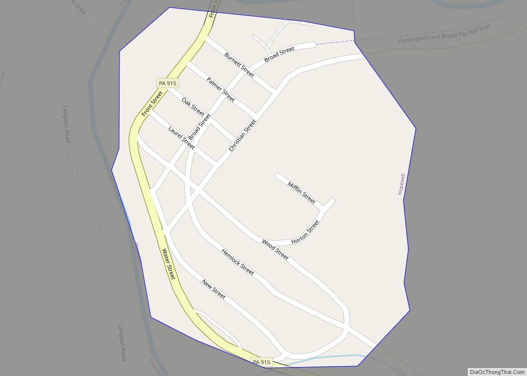
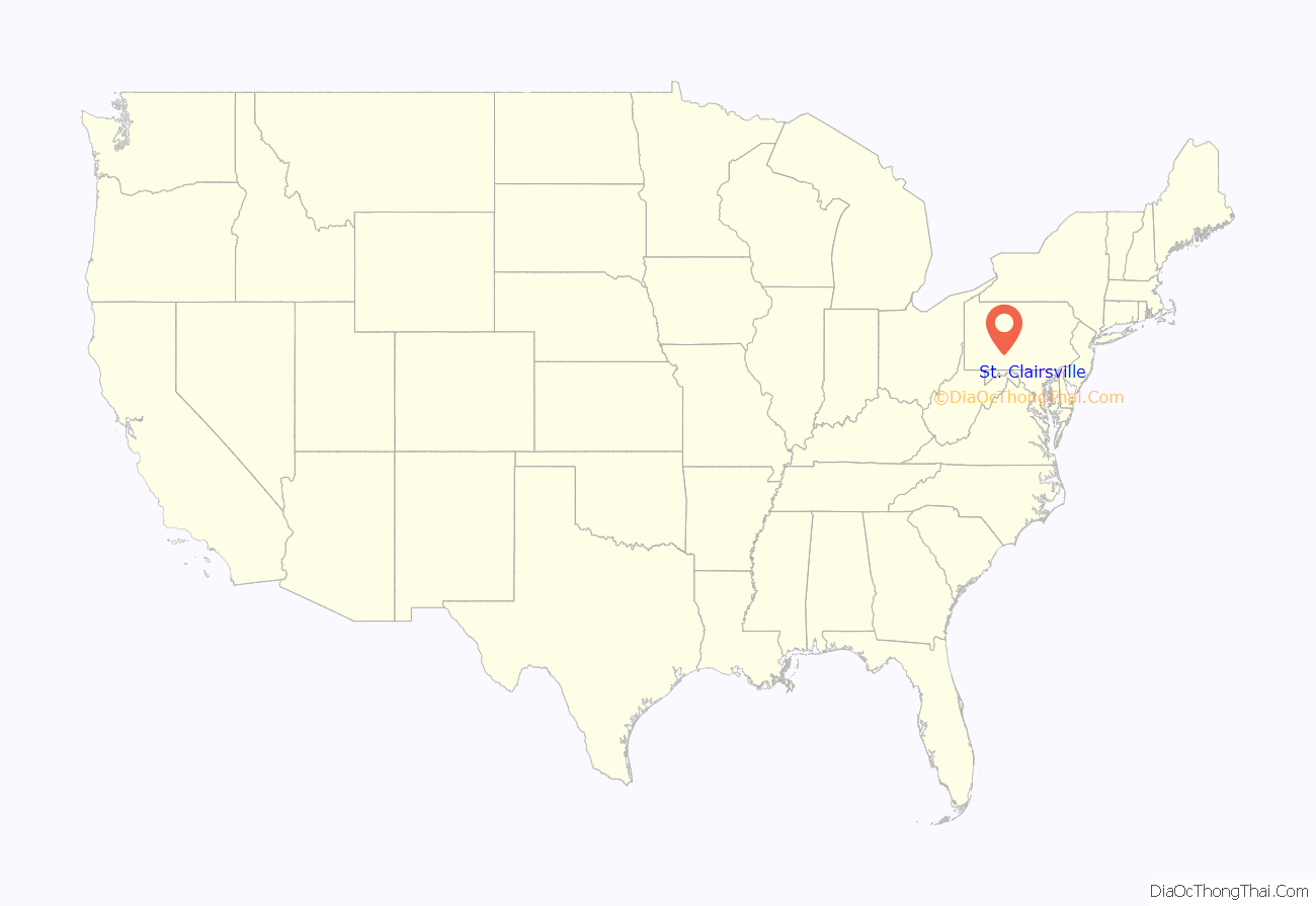
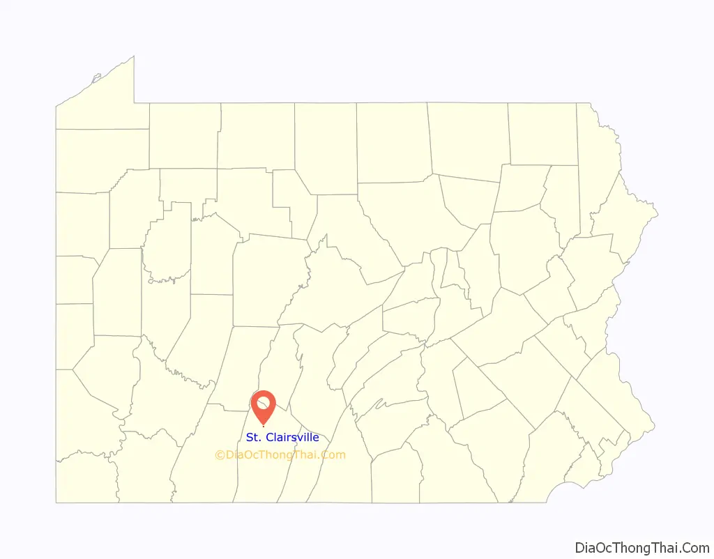
St. Clairsville location map. Where is St. Clairsville borough?
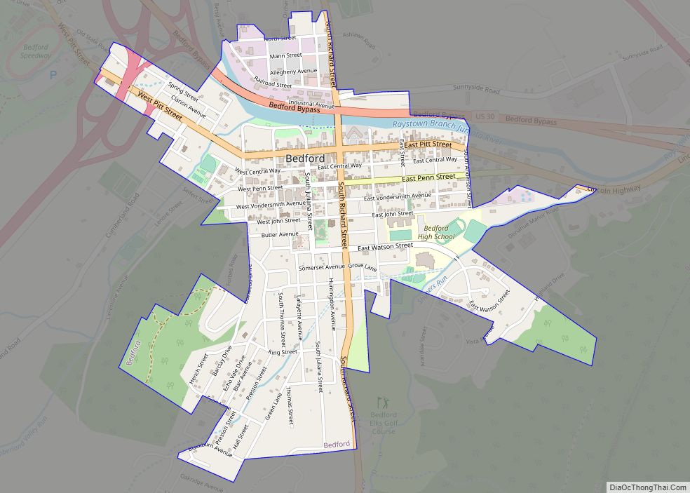
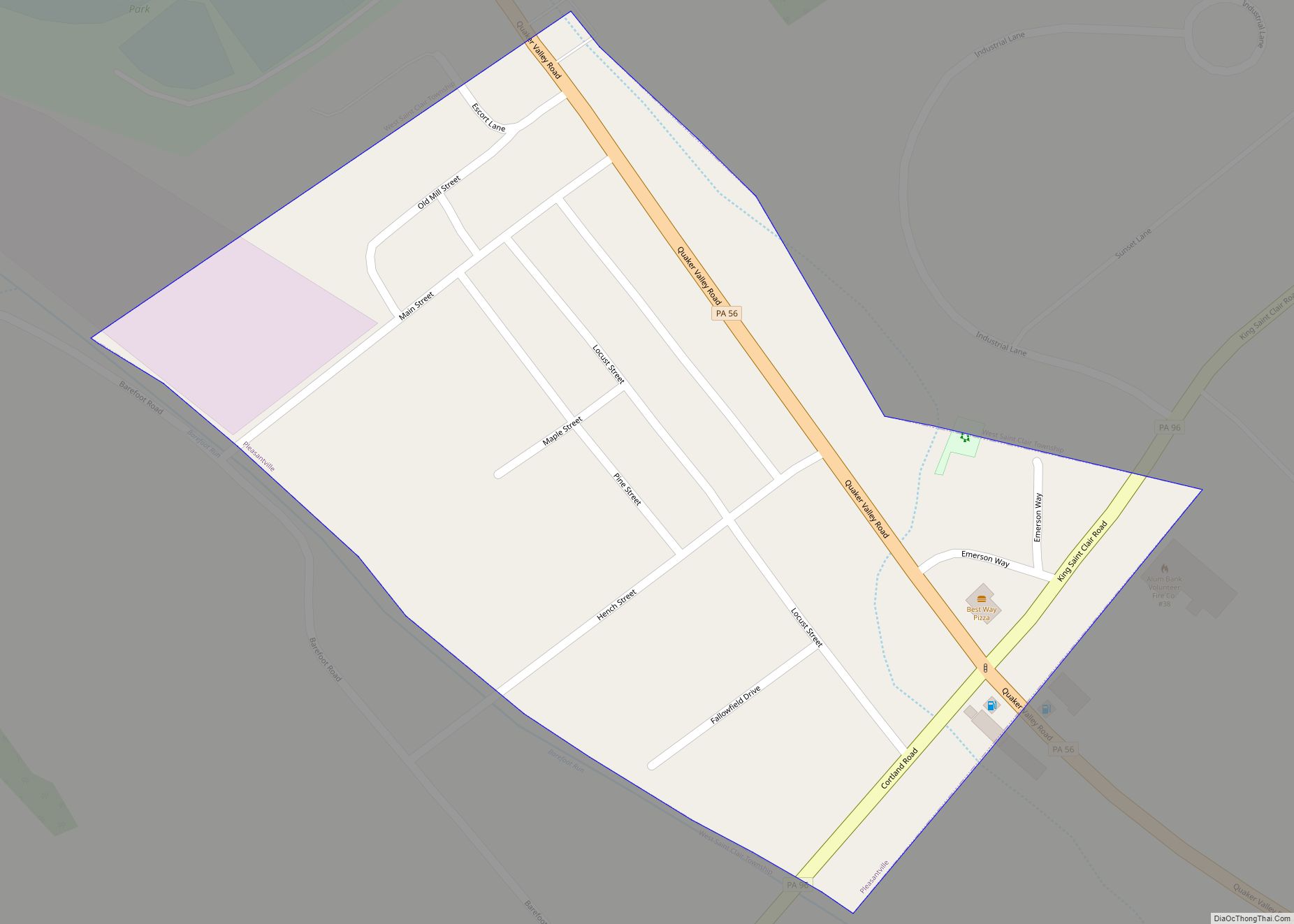
St. Clairsville Road Map
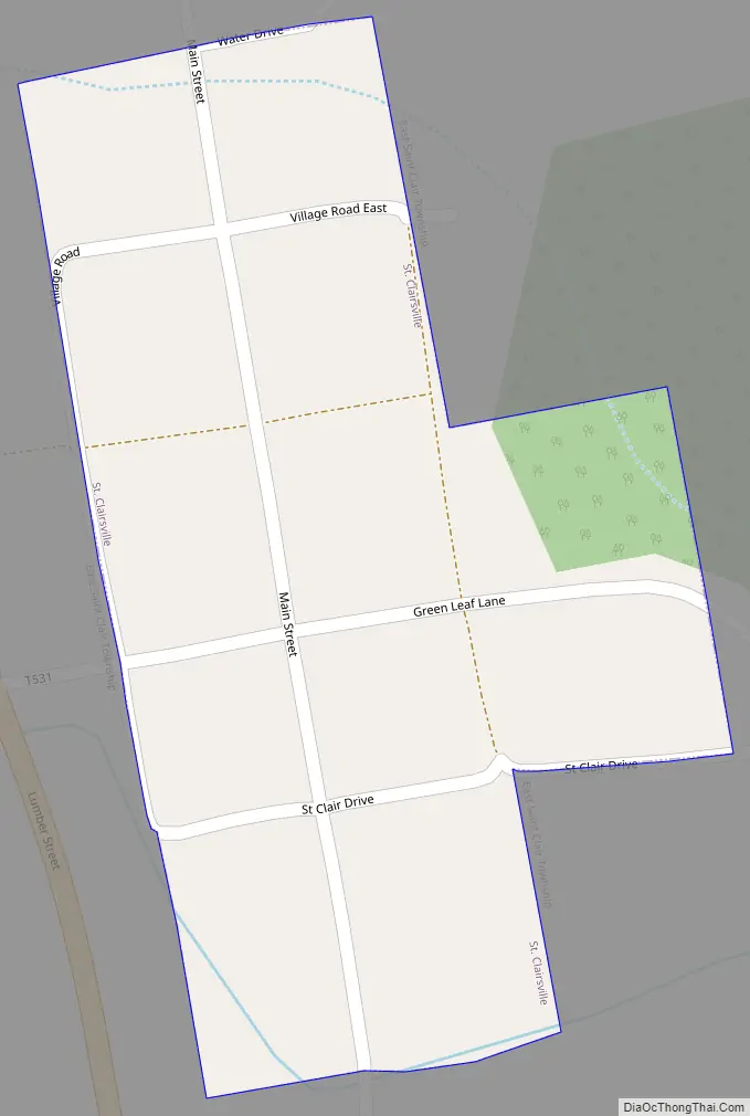
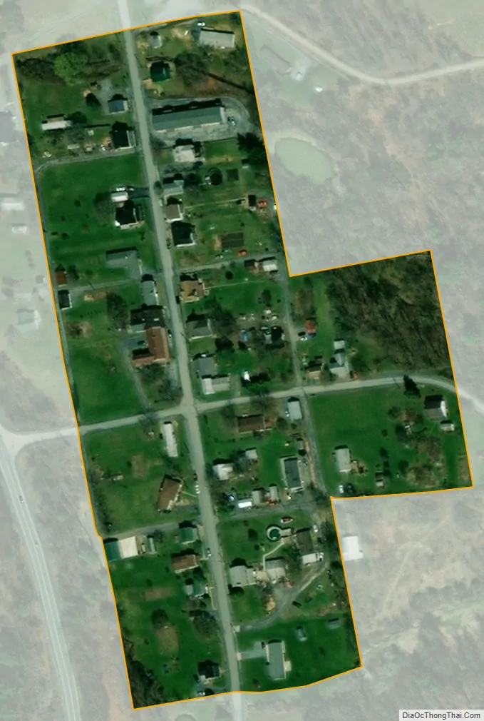
St. Clairsville city Satellite Map
Geography
St. Clairsville is located in northern Bedford County at 40°9′22″N 78°30′38″W / 40.15611°N 78.51056°W / 40.15611; -78.51056 (40.155985, -78.510515). It lies at the base of Evitts Mountain, which rises to the east.
The Interstate 99/U.S. 220 freeway passes just to the east of the borough, with access from Exit 7. Bedford, the county seat, is 11 miles (18 km) to the south, and Altoona is 29 miles (47 km) to the north. US-220’s former alignment, Pennsylvania Route 869, passes just to the west of St. Clairsville, leading south to I-99’s Exit 7 and north 1.0 mile (1.6 km) to Osterburg.
According to the United States Census Bureau, St. Clairsville has a total area of 0.03 square miles (0.08 km), all land.
See also
Map of Pennsylvania State and its subdivision:- Adams
- Allegheny
- Armstrong
- Beaver
- Bedford
- Berks
- Blair
- Bradford
- Bucks
- Butler
- Cambria
- Cameron
- Carbon
- Centre
- Chester
- Clarion
- Clearfield
- Clinton
- Columbia
- Crawford
- Cumberland
- Dauphin
- Delaware
- Elk
- Erie
- Fayette
- Forest
- Franklin
- Fulton
- Greene
- Huntingdon
- Indiana
- Jefferson
- Juniata
- Lackawanna
- Lancaster
- Lawrence
- Lebanon
- Lehigh
- Luzerne
- Lycoming
- Mc Kean
- Mercer
- Mifflin
- Monroe
- Montgomery
- Montour
- Northampton
- Northumberland
- Perry
- Philadelphia
- Pike
- Potter
- Schuylkill
- Snyder
- Somerset
- Sullivan
- Susquehanna
- Tioga
- Union
- Venango
- Warren
- Washington
- Wayne
- Westmoreland
- Wyoming
- York
- Alabama
- Alaska
- Arizona
- Arkansas
- California
- Colorado
- Connecticut
- Delaware
- District of Columbia
- Florida
- Georgia
- Hawaii
- Idaho
- Illinois
- Indiana
- Iowa
- Kansas
- Kentucky
- Louisiana
- Maine
- Maryland
- Massachusetts
- Michigan
- Minnesota
- Mississippi
- Missouri
- Montana
- Nebraska
- Nevada
- New Hampshire
- New Jersey
- New Mexico
- New York
- North Carolina
- North Dakota
- Ohio
- Oklahoma
- Oregon
- Pennsylvania
- Rhode Island
- South Carolina
- South Dakota
- Tennessee
- Texas
- Utah
- Vermont
- Virginia
- Washington
- West Virginia
- Wisconsin
- Wyoming